BROWSE BY ENVIRONMENT

Built environment drone datasets

Explore drone captures of buildings, developed land and the spaces between them. Inspect source views and available reconstructed products for computer vision, scene understanding and spatial analysis. Coverage and geometry quality vary by capture.

126 datasets

Scene-level inventories
Poland / Województwo lubelskie

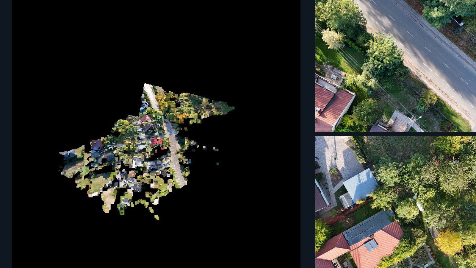
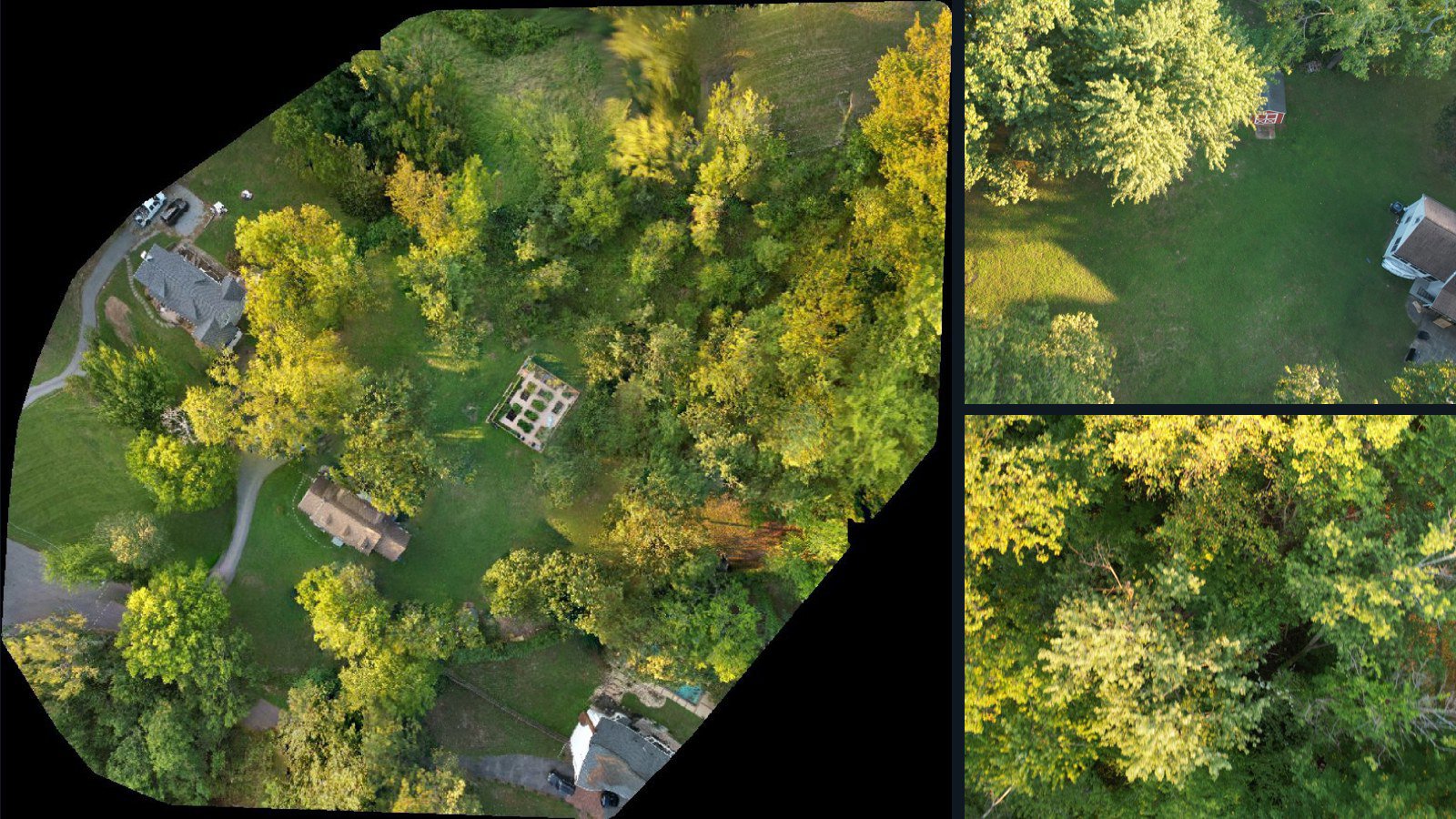
Sarnów drone capture · AD-BE73E9D6

157 original drone photos from Sarnów, Województwo lubelskie, Poland, paired with metadata, project bundles, camera data, 3d meshes, point clouds. Evaluate a sample and request a commercial license for AI training or spatial analysis.

3D model-focused

Photos Orthomosaics Point clouds 3D meshes
157 photos1.8 GB Selected-file sample
Philippines / Calabarzon

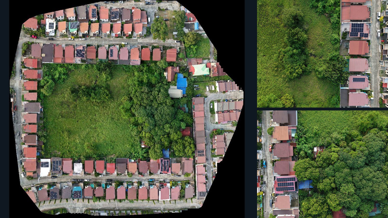
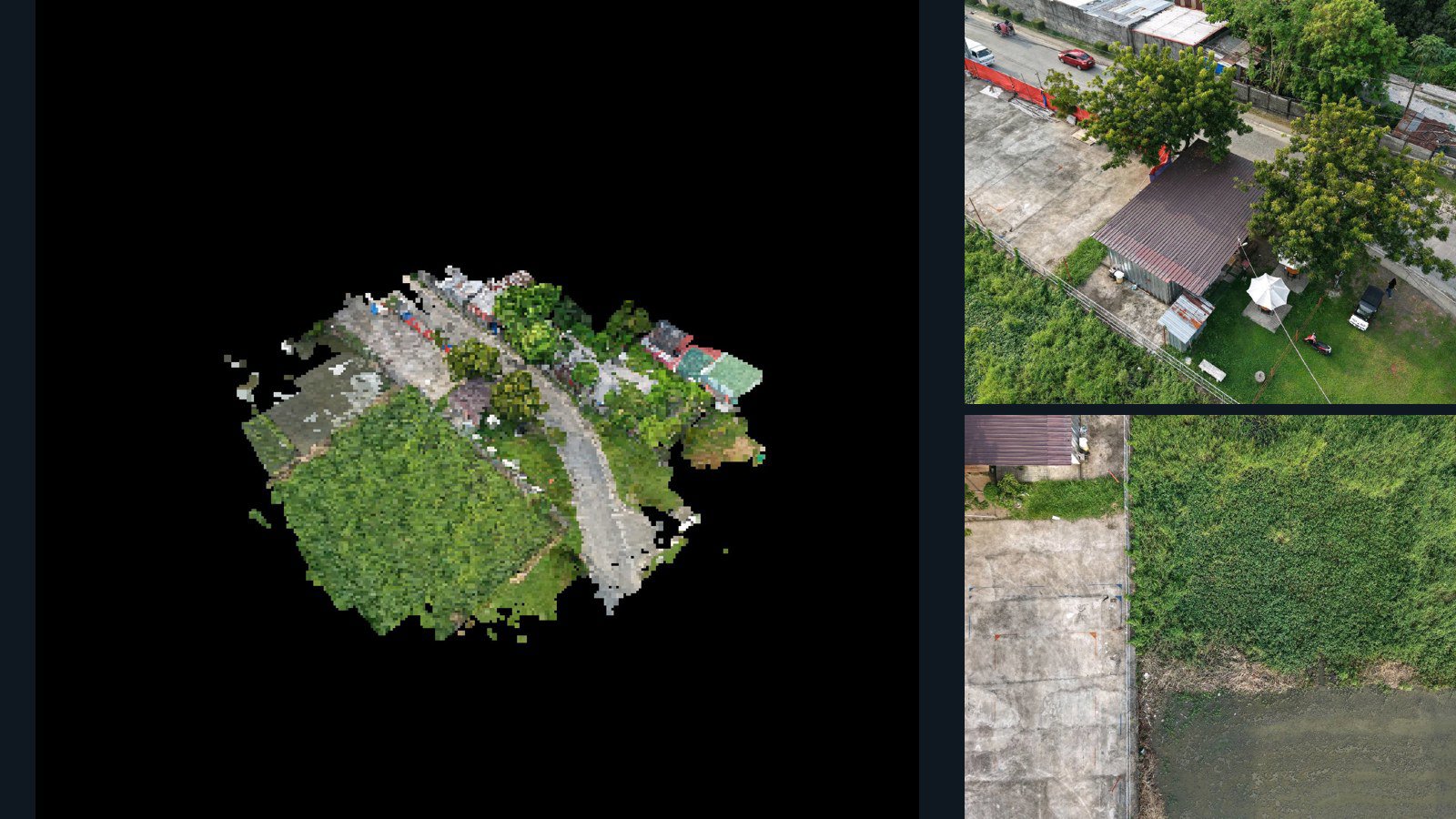
Imus drone capture · AD-0353EA2C

69 original drone photos from Imus, Calabarzon, Philippines, paired with metadata, project bundles, camera data, point clouds, orthomosaics. Evaluate a sample and request a commercial license for AI training or spatial analysis.

Ortho-focused

Photos Orthomosaics Point clouds Camera data
69 photos1.7 GB Selected-file sample
Czechia / Hlavní město Praha

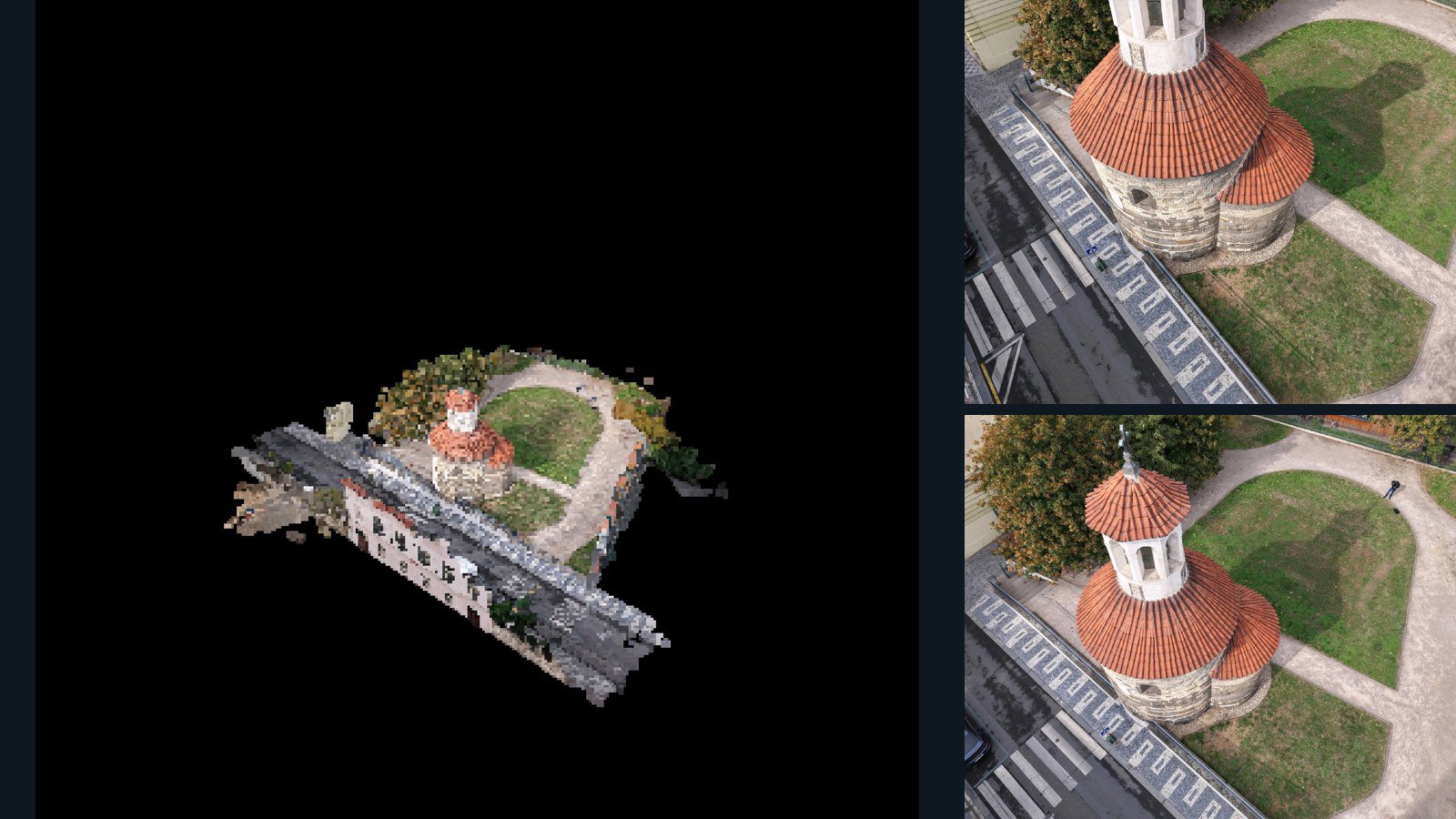
Hlavní město Praha drone capture · AD-27096026

39 original drone photos from Hlavní město Praha, Czechia, paired with metadata, project bundles, camera data, 3d meshes, point clouds. Evaluate a sample and request a commercial license for AI training or spatial analysis.

3D model-focused

Photos Orthomosaics Point clouds 3D meshes
39 photos642.7 MB Selected-file sample
Poland / Województwo lubelskie

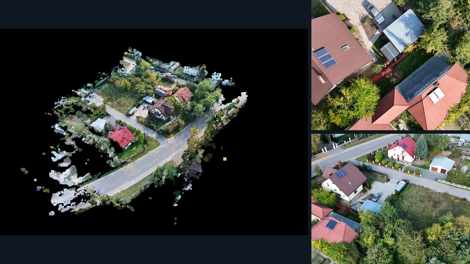
Sarnów drone capture · AD-85732DE6

39 original drone photos from Sarnów, Województwo lubelskie, Poland, paired with metadata, project bundles, camera data, 3d meshes, point clouds. Evaluate a sample and request a commercial license for AI training or spatial analysis.

3D model-focused

Photos Orthomosaics Point clouds 3D meshes
39 photos853.4 MB Selected-file sample
Greece / region

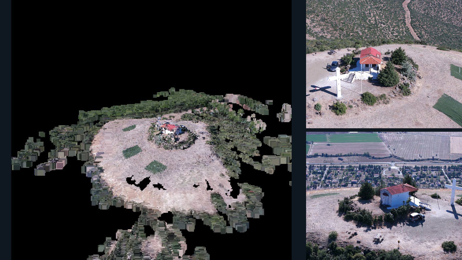
region drone capture · AD-8DD4D538

99 original drone photos from region, Greece, paired with metadata, project bundles, camera data, 3d meshes, point clouds. Evaluate a sample and request a commercial license for AI training or spatial analysis.

3D model-focused

Photos Orthomosaics Point clouds 3D meshes
99 photos1.4 GB Selected-file sample
United Kingdom / England

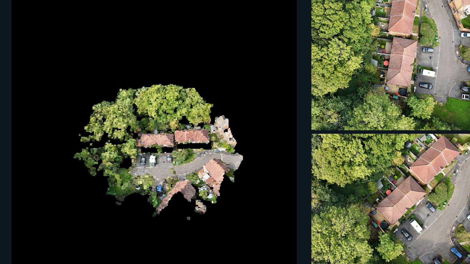
Hastings drone capture · AD-AD47666F

33 original drone photos from Hastings, England, United Kingdom, paired with metadata, project bundles, camera data, 3d meshes, point clouds. Evaluate a sample and request a commercial license for AI training or spatial analysis.

3D model-focused

Photos Orthomosaics Point clouds 3D meshes
33 photos457.4 MB Selected-file sample
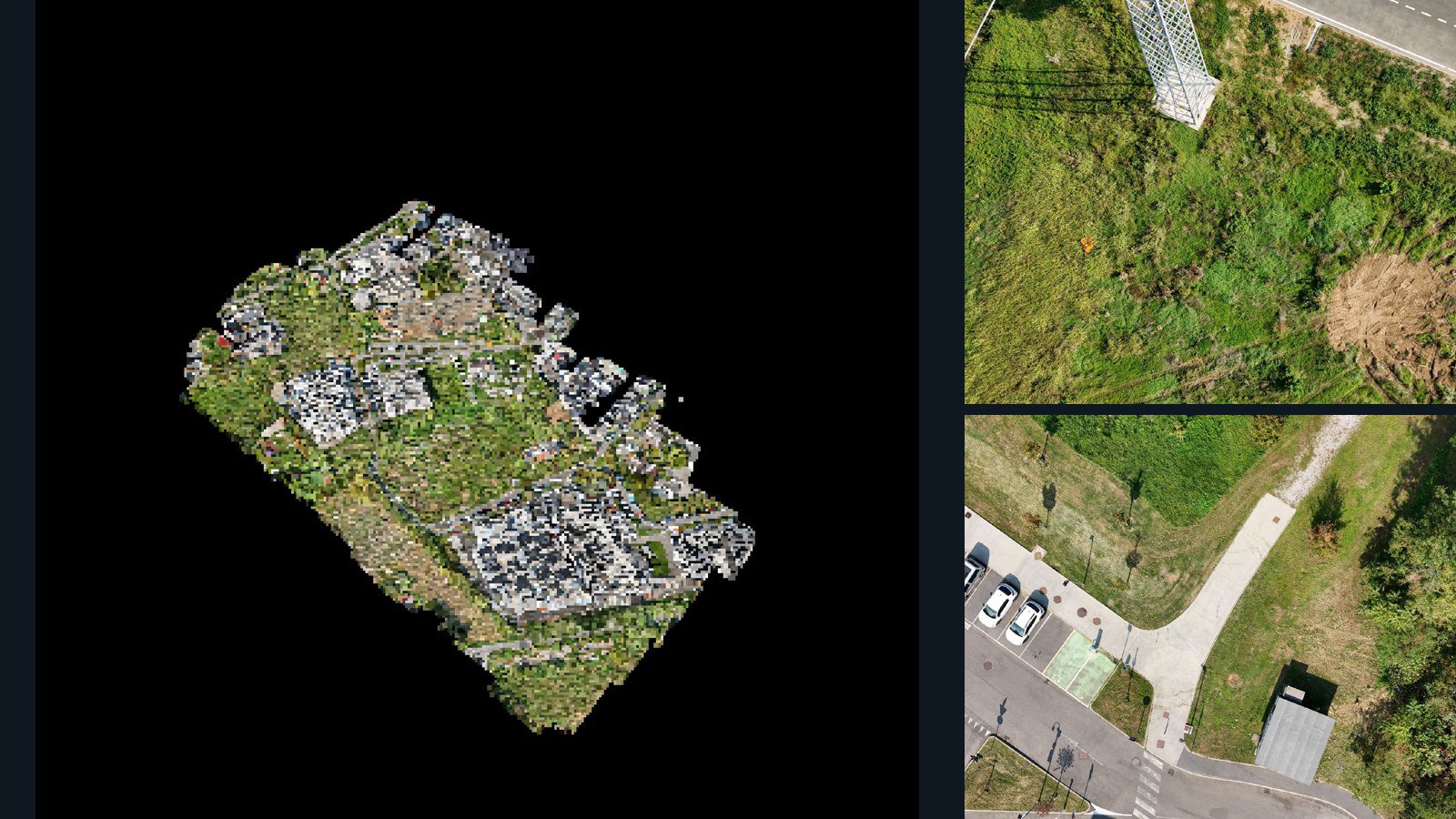
Italy / Lombardia

Provincia di Monza e della Brianza drone capture · AD-35854FC8

1,484 original drone photos from Provincia di Monza e della Brianza, Lombardia, Italy, paired with metadata, project bundles, camera data, 3d meshes, point clouds. Evaluate a sample and request a commercial license for AI training or spatial analysis.

3D model-focused

Photos Orthomosaics Point clouds 3D meshes
1,484 photos19 GB Selected-file sample
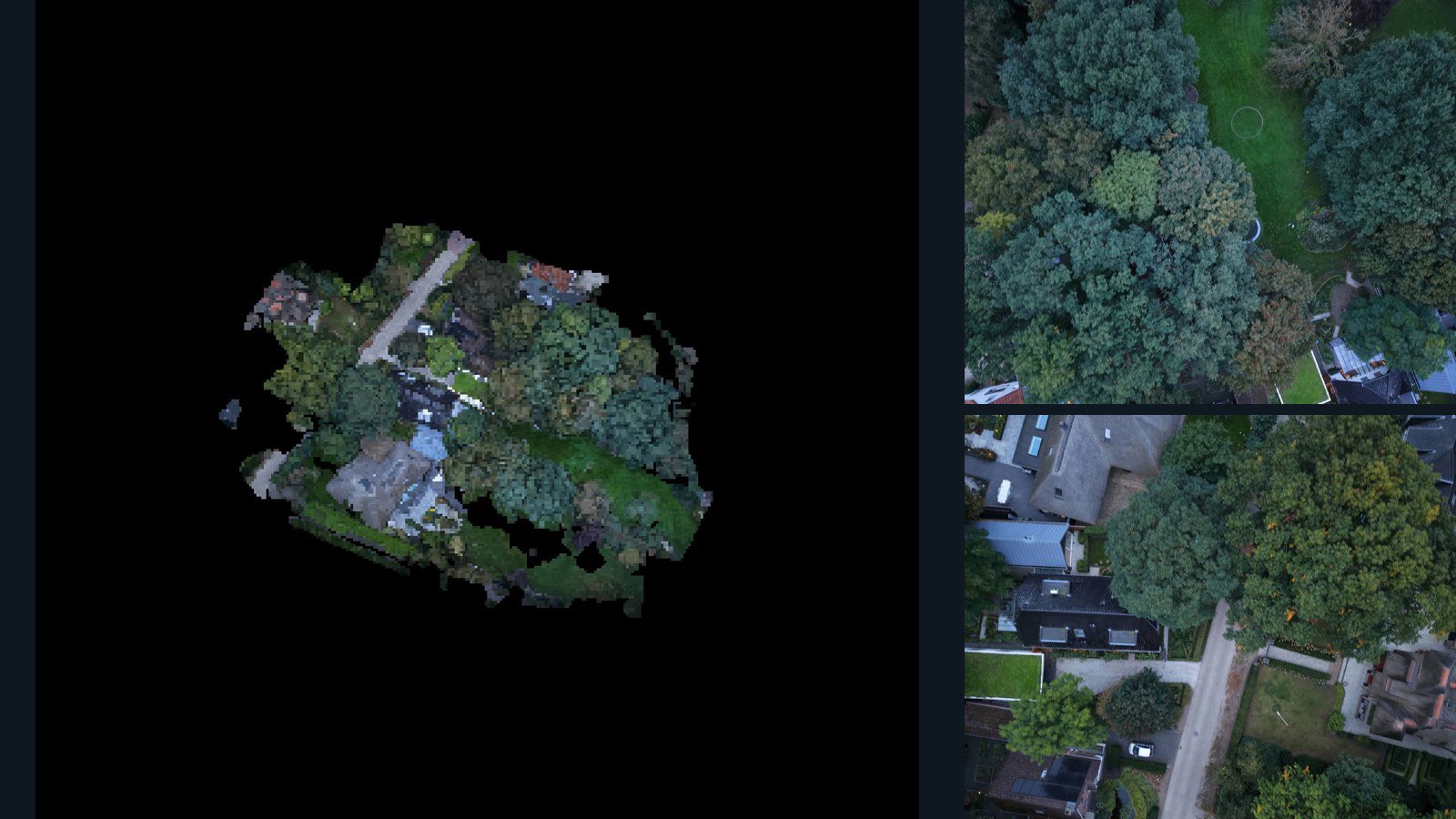
Netherlands / Gelderland

Lunteren drone capture · AD-940ED08D

25 original drone photos from Lunteren, Gelderland, Netherlands, paired with metadata, project bundles, camera data, 3d meshes, point clouds. Evaluate a sample and request a commercial license for AI training or spatial analysis.

3D model-focused

Photos Orthomosaics Point clouds 3D meshes
25 photos395.4 MB Selected-file sample
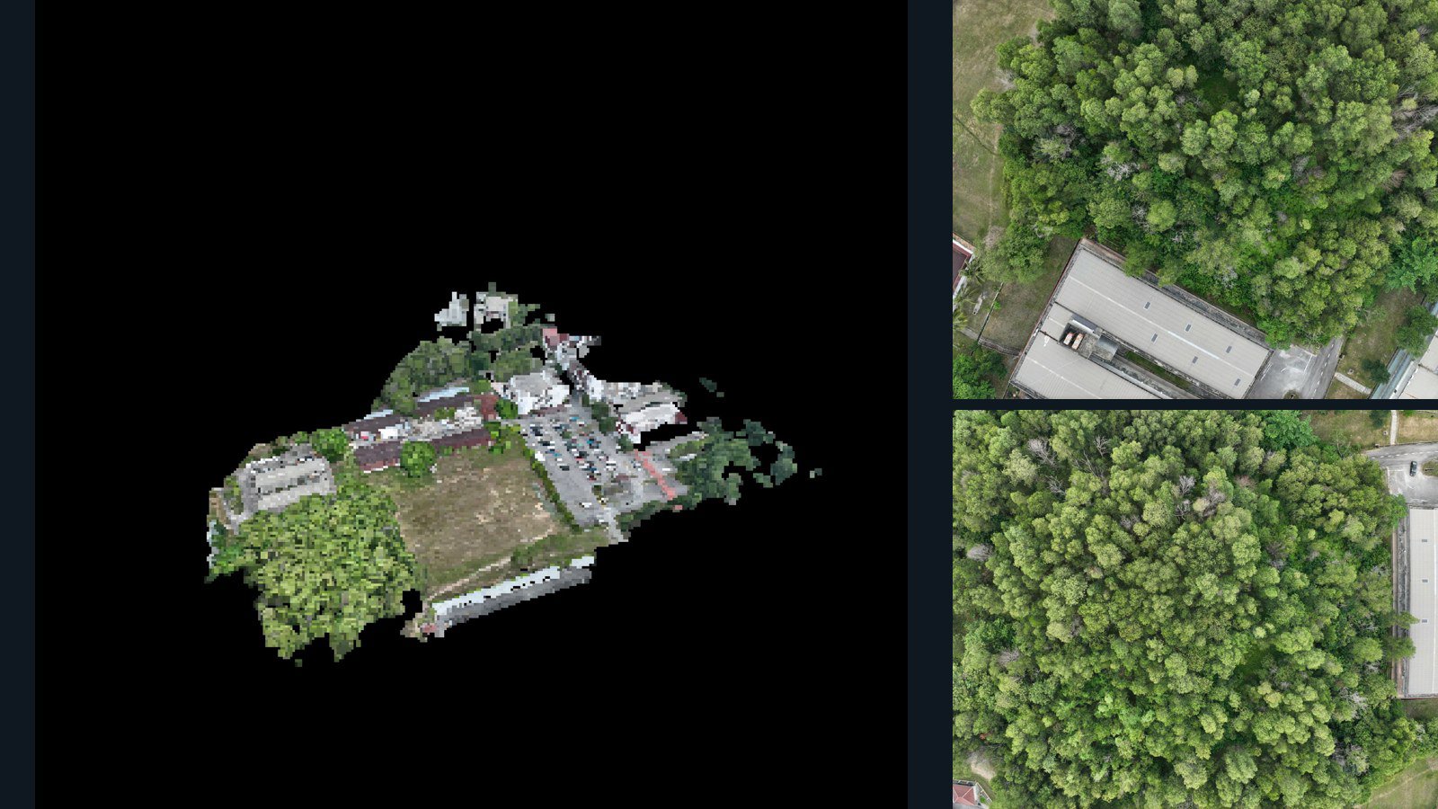
Malaysia / Selangor

Kajang drone capture · AD-F1270367

67 original drone photos from Kajang, Selangor, Malaysia, paired with metadata, project bundles, camera data, 3d meshes, point clouds. Evaluate a sample and request a commercial license for AI training or spatial analysis.

3D model-focused

Photos Orthomosaics Point clouds 3D meshes
67 photos921.3 MB Selected-file sample
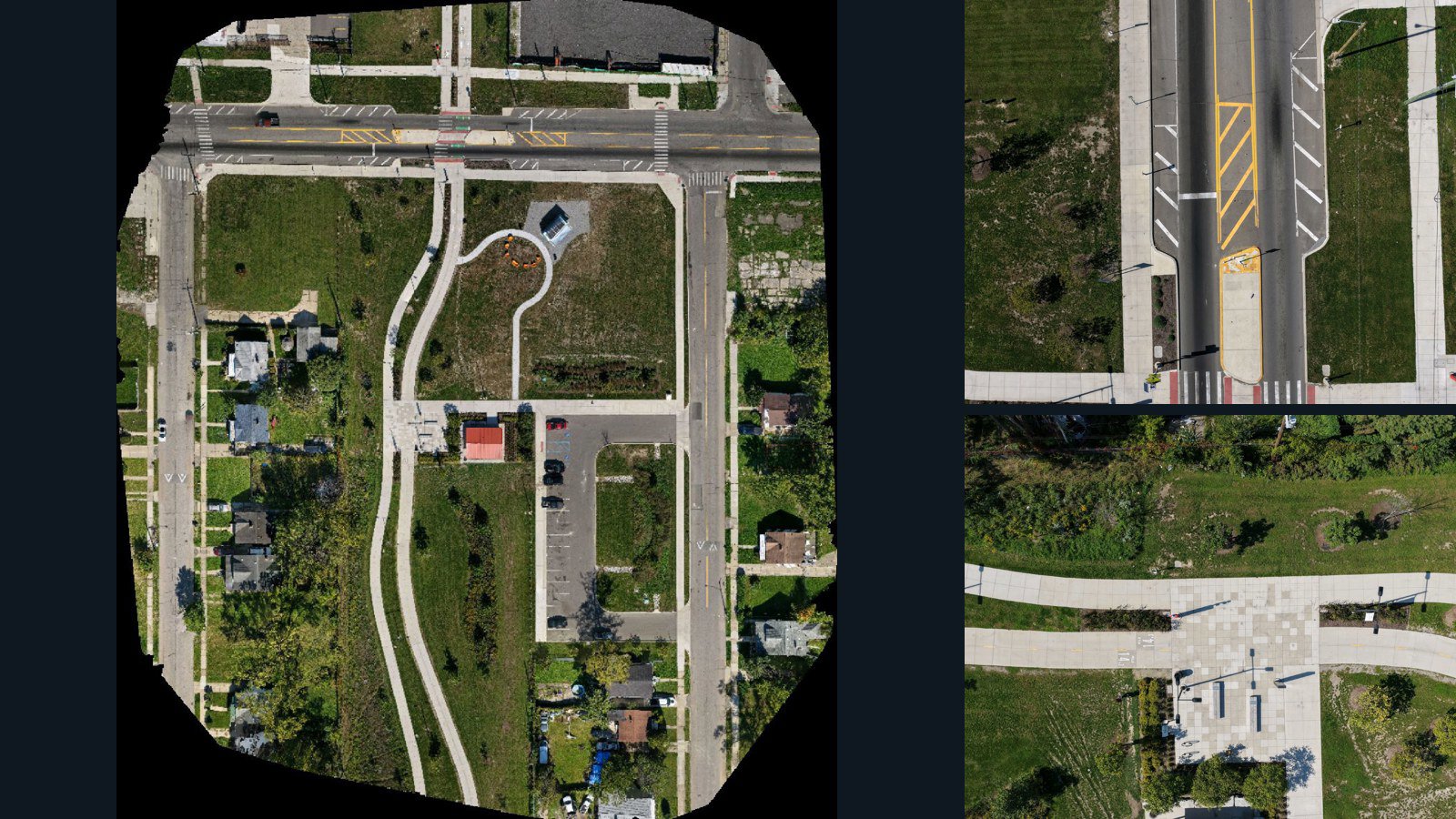
United States / Michigan

Detroit drone capture · AD-5FEF6307

153 original drone photos from Detroit, Michigan, United States, paired with metadata, project bundles, camera data, point clouds, orthomosaics. Evaluate a sample and request a commercial license for AI training or spatial analysis.

Ortho-focused

Photos Orthomosaics Point clouds Camera data
153 photos4.2 GB AerialAlign Selected-file sample
United States / Maryland

Prince George's County drone capture · AD-B69749F2

371 original drone photos from Prince George's County, Maryland, United States, paired with metadata, project bundles, camera data, point clouds, orthomosaics. Evaluate a sample and request a commercial license for AI training or spatial analysis.

Ortho-focused

Photos Orthomosaics Point clouds Camera data
371 photos3.6 GB Selected-file sample
Philippines / Calabarzon

Imus drone capture · AD-F790A681

74 original drone photos from Imus, Calabarzon, Philippines, paired with metadata, project bundles, camera data, 3d meshes, point clouds. Evaluate a sample and request a commercial license for AI training or spatial analysis.

3D model-focused

Photos Orthomosaics Point clouds 3D meshes
74 photos2 GB Selected-file sample

Have a specific dataset in mind?

Share your geography, formats, intended use and timeline.

Request data ↗