
Not just files.
Context you can work with.
AerialDataset organizes real-world drone captures into discoverable, commercially licensable scenes. Original observations stay connected to the spatial products available from their reconstruction.
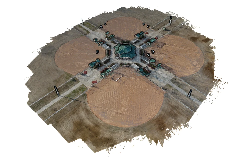
Example photogrammetric reconstruction. This illustration is not a dataset offer.
A scene-level approach
A useful dataset is more than an image count. Capture context, file relationships, retained geometry and documented permissions help buyers understand what they are evaluating.
Reviewed before discovery
Source consent, archive completeness, public previews and appropriate location detail are separate review steps. Only approved, currently eligible records appear in the public catalog.
Honest about precision
Standard photogrammetry and AerialAlign-enhanced captures are labeled distinctly. We do not treat an alignment estimate as RTK measurement or independent survey validation.
Explore the data →