371source photos
6data types
3.6 GBfile inventory
1 cmreported GSD
About this capture
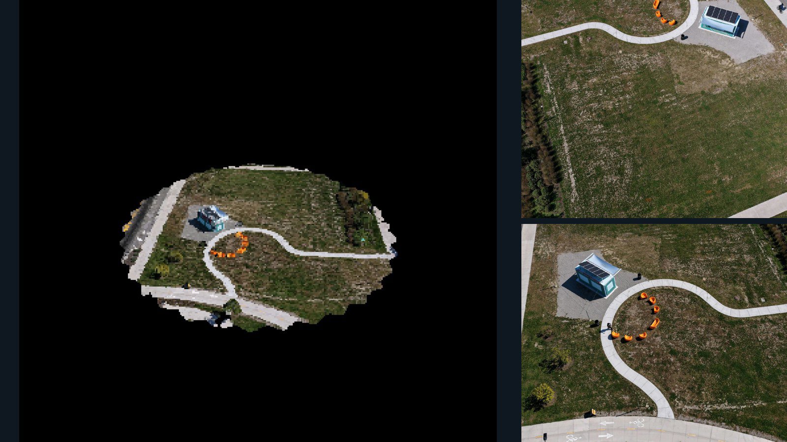
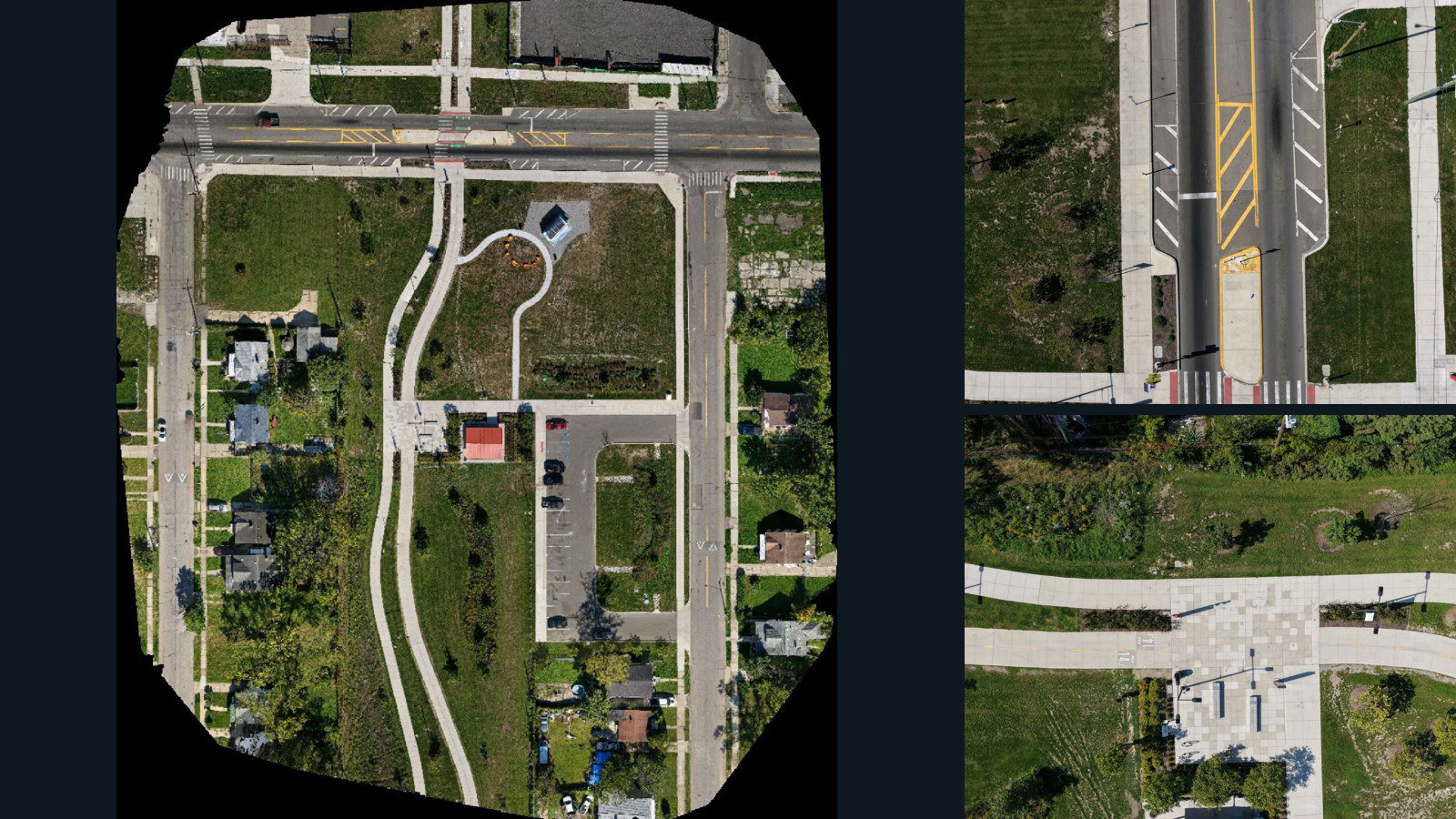
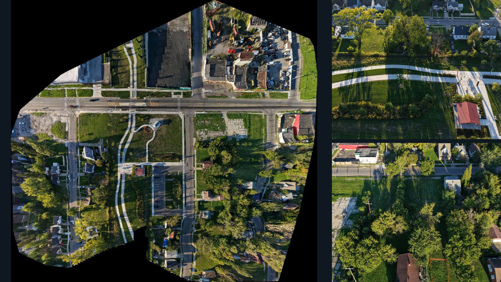
This scene from Prince George's County, Maryland, United States contains 371 retained original drone photographs captured with a FC3411 camera, together with metadata, project bundles, camera data, point clouds, orthomosaics. Use the file inventory to compare the imagery and reconstruction products, and evaluate the available sample before requesting a license. The imagery provides overlapping observations of one scene; retained file counts do not imply unique ground coverage. Photogrammetric geometry and reported positioning estimates are not independent survey measurements. Commercial training, redistribution and production use require an appropriate written license.
Dataset compilation and curation: AerialDataset.
What is in the dataset
Counts and sizes reflect the files retained for this version.
Bundles may overlap with individual files. Storage totals are not unique ground coverage. Camera-data files may contain observations, calibration or reconstructed poses; inspect the sample and inventory for the exact contents.
Capture & geospatial details
- Location
- Prince George's County, Maryland, United States
- Capture date
- September 9, 2026Source capture metadata
- Camera
- FC3411
- Coordinate system
- EPSG:32618
- Reported ground sampling distance
- 1 cmOrthomosaic pixel size; not independent source-camera GSD
- Reported scene area
- 2.26 hectaresOrthomosaic raster extent; includes no-data pixels, not a surveyed boundary
- Public location precision
- Approximate scene location
- Scene coordinates
- 38.85, -76.76
Processing & output quality
Ortho-focused. Ortho optimization: the orthomosaic defaults to usable; the point cloud is not recommended.
- Orthomosaic
- Usable
- Point cloud
- Not recommended
Review statuses describe visual usability, not measured accuracy, RTK positioning or survey certification. Unlisted outputs are not included.
Accuracy & appropriate use
Photogrammetric reconstruction. Geometry is derived from the source imagery. It is not independent ground-truth geometry.
Source-reported post-alignment horizontal error estimate: 3.2 m. This is not an independent checkpoint measurement.
Geometry is reconstructed from imagery and is not independently surveyed ground truth. Source-reported horizontal error estimate: 3.2 m; not an independent checkpoint measurement.
Evaluate the supplied data against your own accuracy, rights and performance requirements before use.