BROWSE BY ENVIRONMENT

Built environment drone datasets

Explore drone captures of buildings, developed land and the spaces between them. Inspect source views and available reconstructed products for computer vision, scene understanding and spatial analysis. Coverage and geometry quality vary by capture.

126 datasets

Scene-level inventories
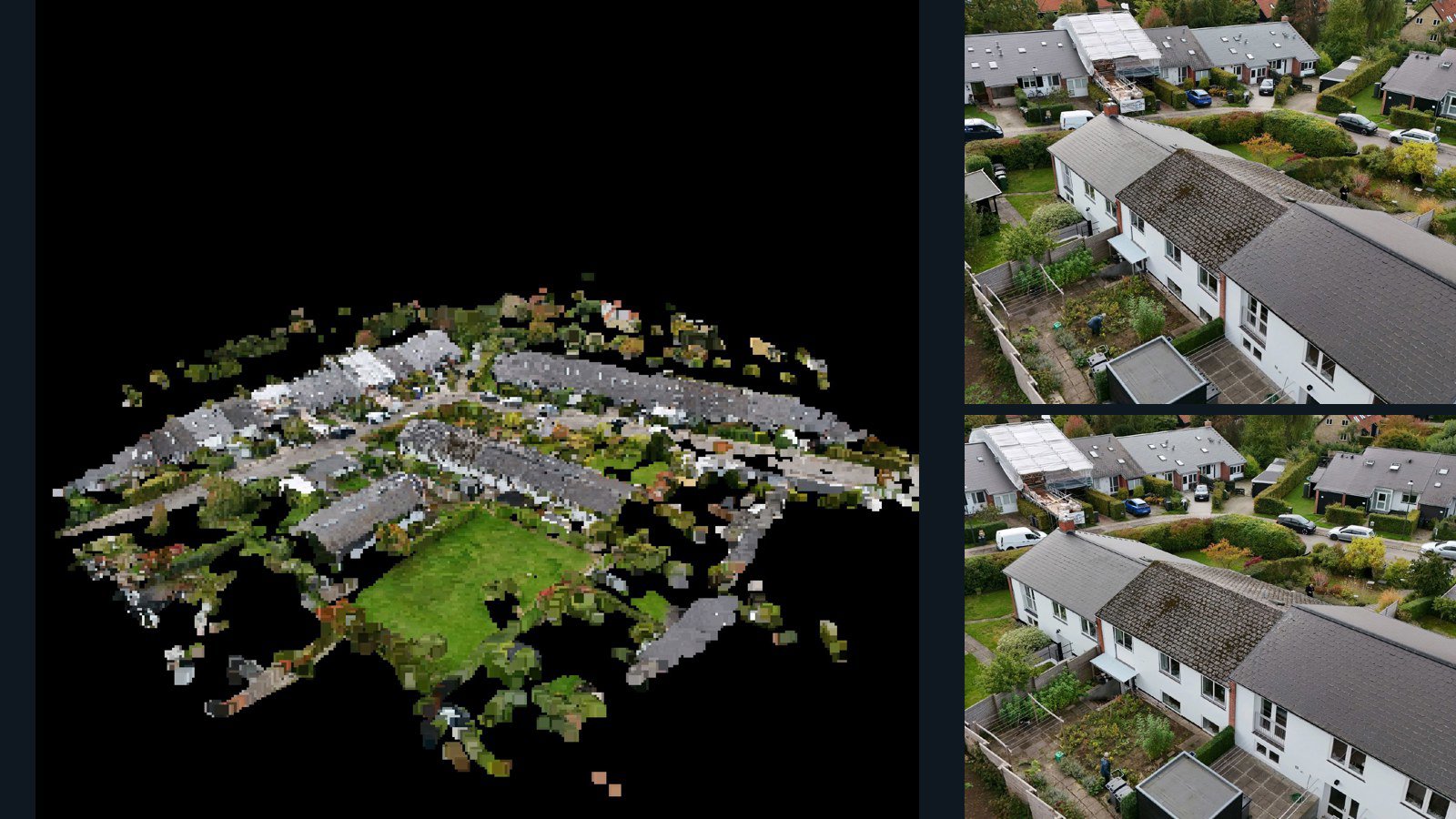
Denmark / region

Holte drone capture · AD-47070DDD

61 original drone photos from Holte, region, Denmark, paired with metadata, project bundles, camera data, 3d meshes, point clouds. Evaluate a sample and request a commercial license for AI training or spatial analysis.

3D model-focused

Photos Orthomosaics Point clouds 3D meshes
61 photos1.9 GB Selected-file sample
Netherlands / Noord-Holland

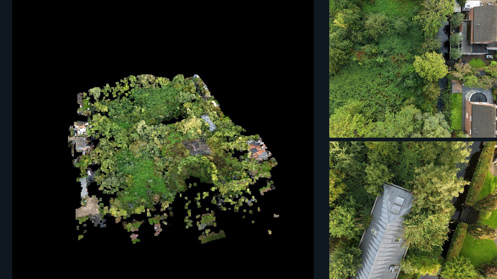
Purmerend drone capture · AD-300AA291

43 original drone photos from Purmerend, Noord-Holland, Netherlands, paired with metadata, project bundles, camera data, 3d meshes, point clouds. Evaluate a sample and request a commercial license for AI training or spatial analysis.

3D model-focused

Photos Orthomosaics Point clouds 3D meshes
43 photos989.4 MB Selected-file sample
United States / Rhode Island

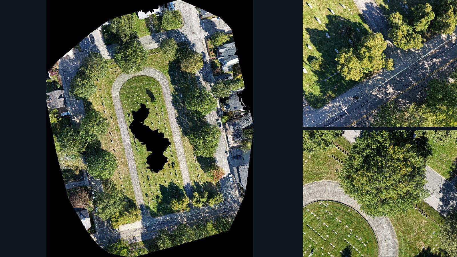
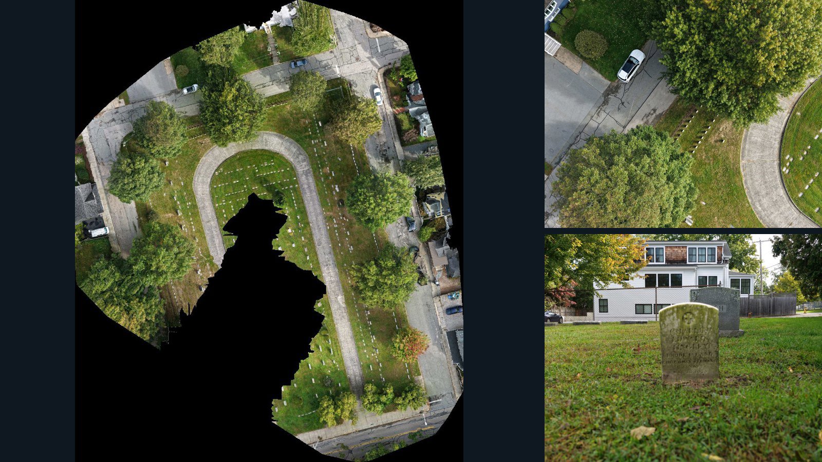
Newport drone capture · AD-BF677232

53 original drone photos from Newport, Rhode Island, United States, paired with metadata, project bundles, camera data, point clouds, orthomosaics. Evaluate a sample and request a commercial license for AI training or spatial analysis.

Ortho-focused

Photos Orthomosaics Point clouds Camera data
53 photos4.4 GB AerialAlign Selected-file sample
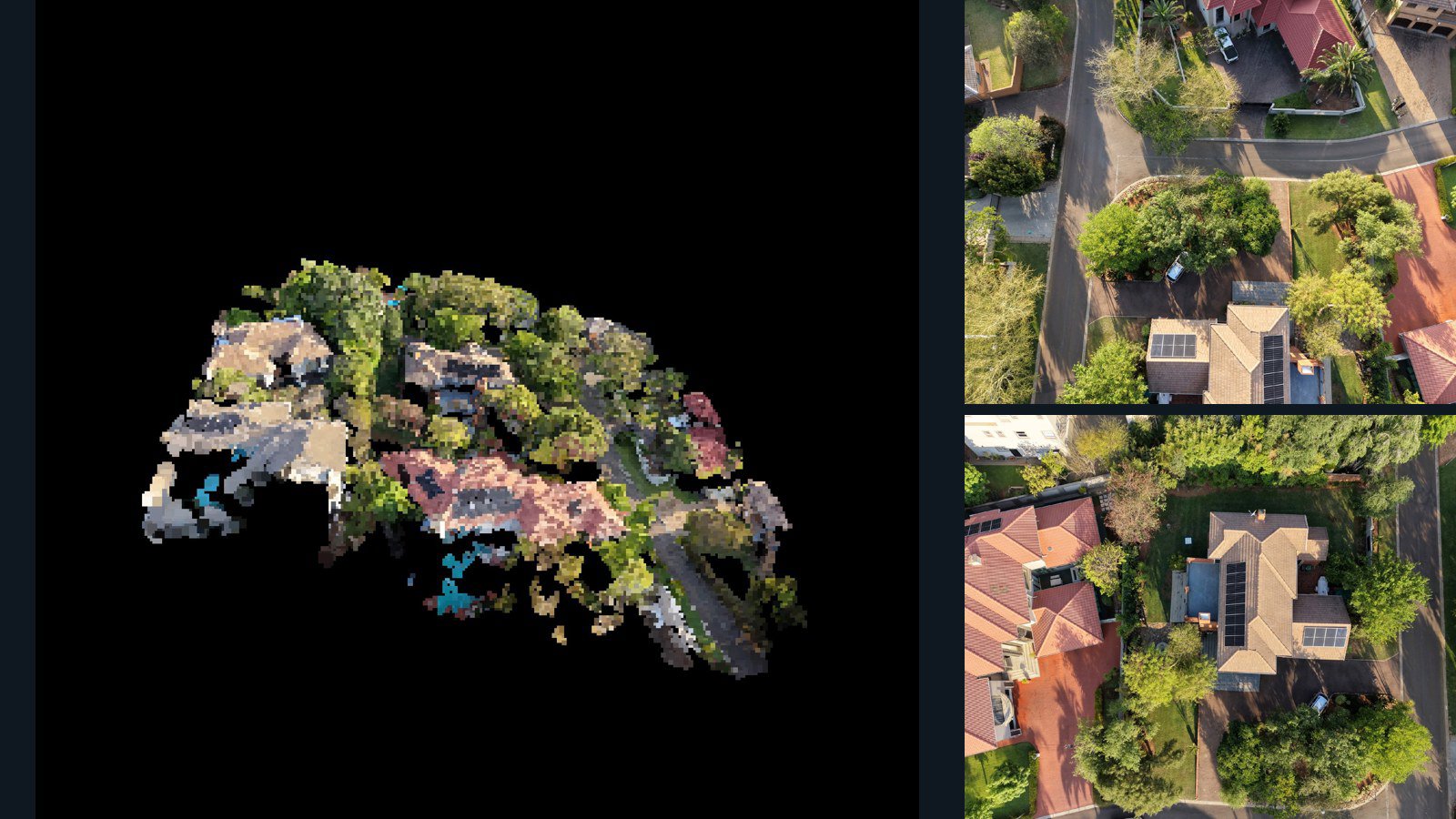
South Africa / Gauteng

Pretoria drone capture · AD-26D97CF2

23 original drone photos from Pretoria, Gauteng, South Africa, paired with metadata, project bundles, camera data, 3d meshes, point clouds. Evaluate a sample and request a commercial license for AI training or spatial analysis.

3D model-focused

Photos Orthomosaics Point clouds 3D meshes
23 photos396.7 MB Selected-file sample
United States / California

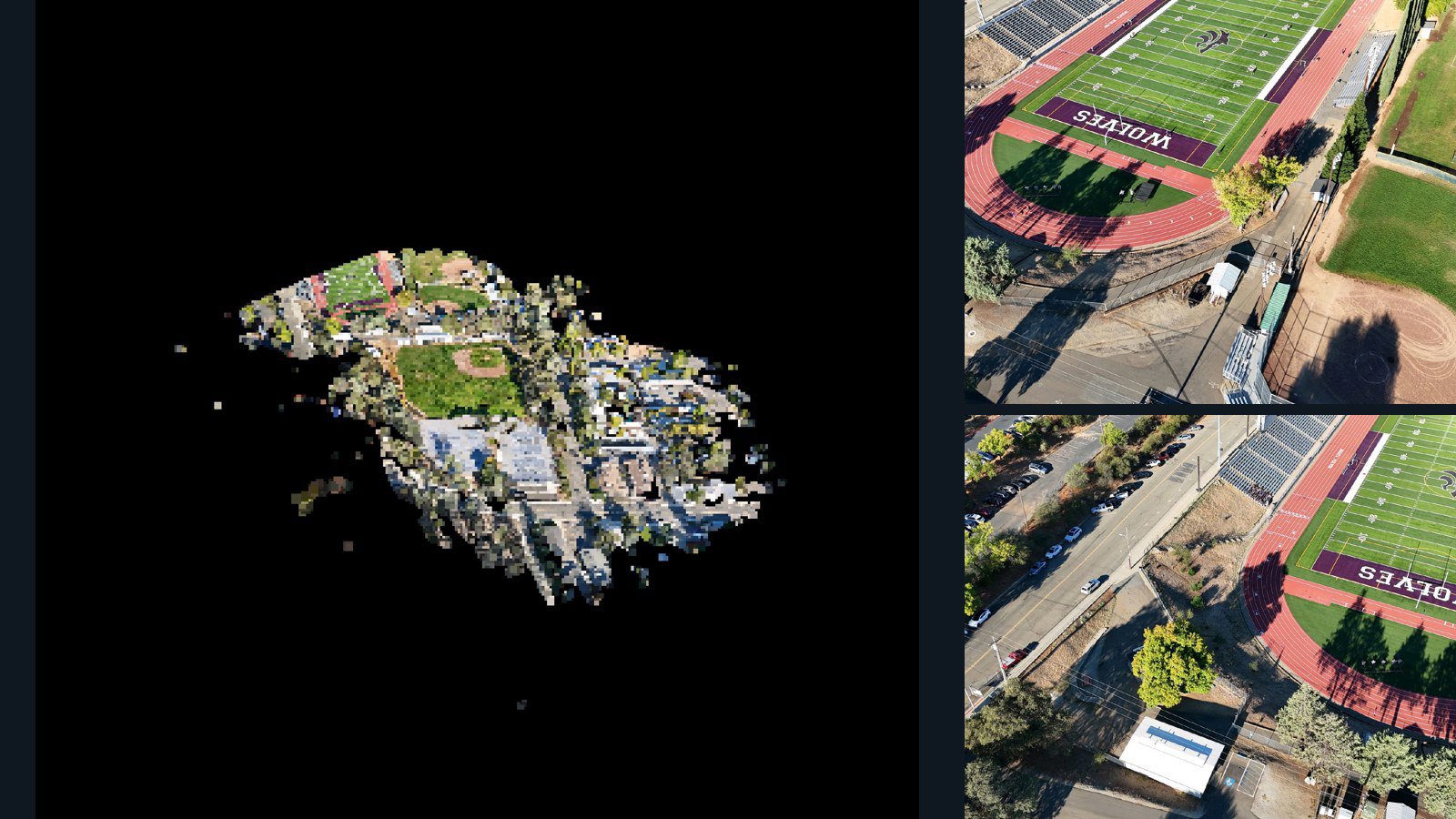
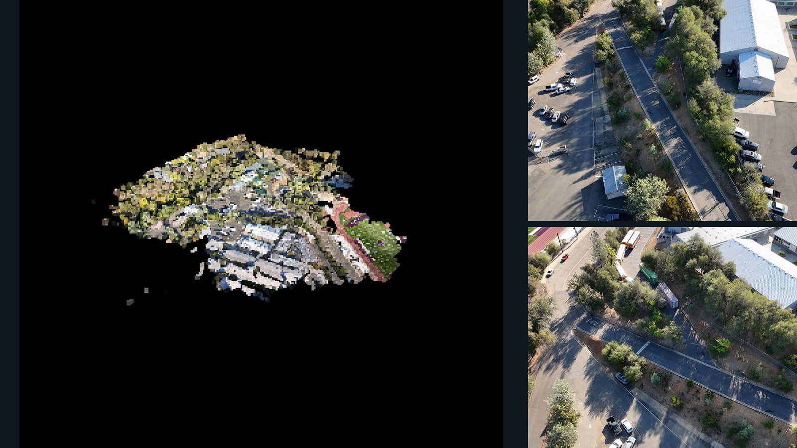
Redding drone capture · AD-9B727782

51 original drone photos from Redding, California, United States, paired with metadata, project bundles, camera data, 3d meshes, point clouds. Evaluate a sample and request a commercial license for AI training or spatial analysis.

3D model-focused

Photos Orthomosaics Point clouds 3D meshes
51 photos982.7 MB Selected-file sample
United States / California

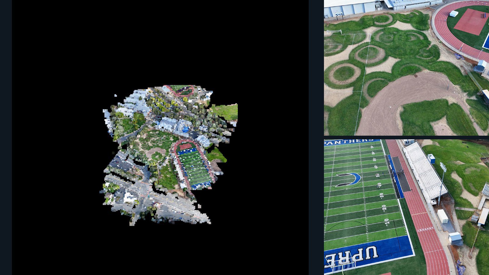
Redding drone capture · AD-8BE2CD36

72 original drone photos from Redding, California, United States, paired with metadata, project bundles, camera data, 3d meshes, point clouds. Evaluate a sample and request a commercial license for AI training or spatial analysis.

3D model-focused

Photos Orthomosaics Point clouds 3D meshes
72 photos1.2 GB Selected-file sample
United States / California

Redding drone capture · AD-1B93BA86

48 original drone photos from Redding, California, United States, paired with metadata, project bundles, camera data, 3d meshes, point clouds. Evaluate a sample and request a commercial license for AI training or spatial analysis.

3D model-focused

Photos Orthomosaics Point clouds 3D meshes
48 photos962.9 MB Selected-file sample
United States / Pennsylvania

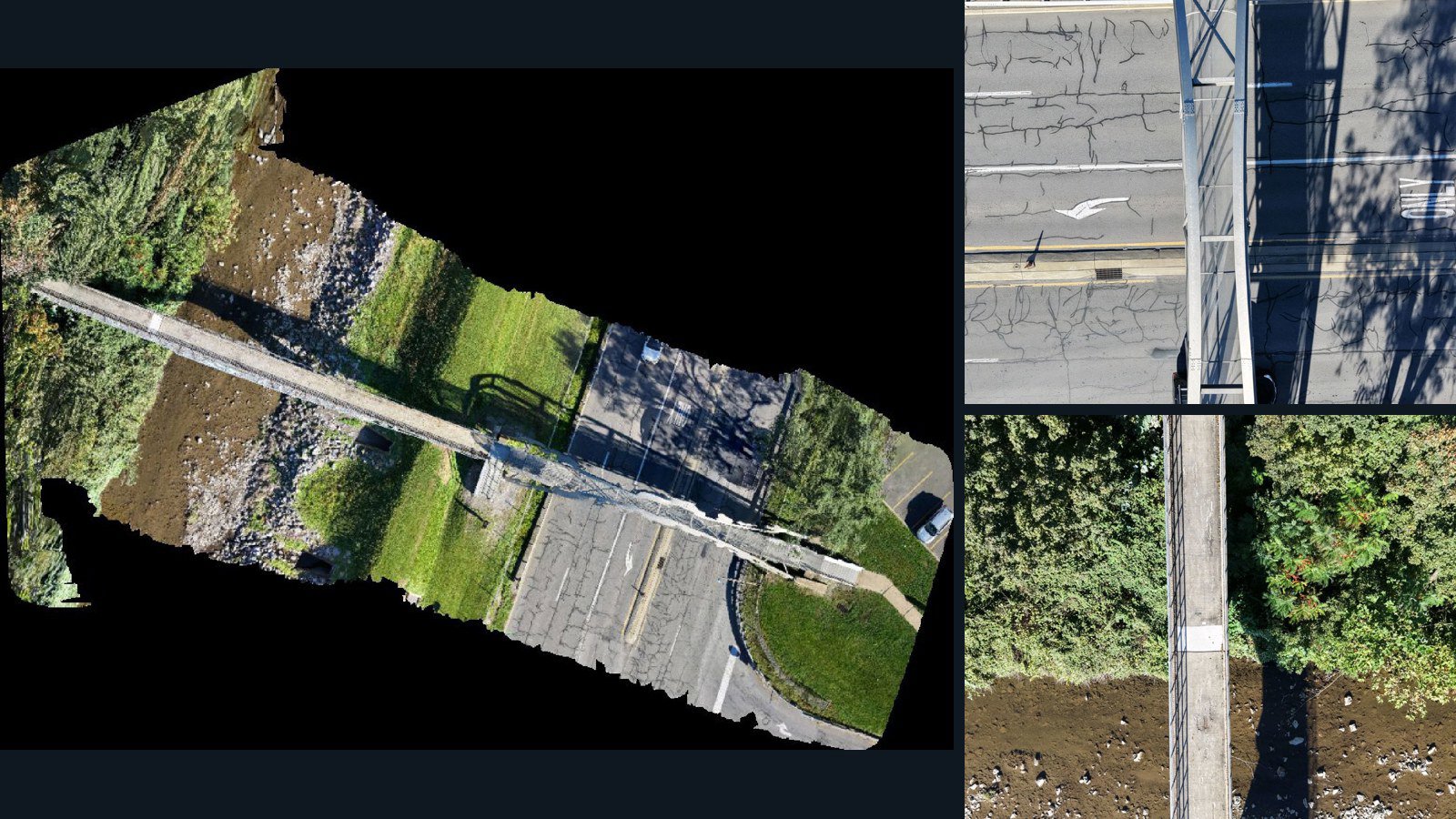
Danville drone capture · AD-4C51D2B1

24 original drone photos from Danville, Pennsylvania, United States, paired with metadata, project bundles, camera data, point clouds, orthomosaics. Evaluate a sample and request a commercial license for AI training or spatial analysis.

Ortho-focused

Photos Orthomosaics Point clouds Camera data
24 photos478.8 MB AerialAlign Selected-file sample
United States / Texas

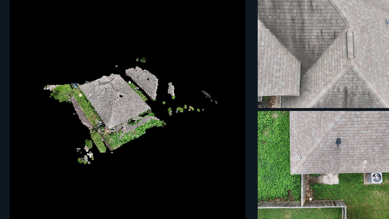
Lake Jackson drone capture · AD-DE37C4AE

73 original drone photos from Lake Jackson, Texas, United States, paired with metadata, project bundles, camera data, 3d meshes, point clouds. Evaluate a sample and request a commercial license for AI training or spatial analysis.

3D model-focused

Photos Orthomosaics Point clouds 3D meshes
73 photos2.2 GB Selected-file sample
United States / Rhode Island

Newport drone capture · AD-8269F254

40 original drone photos from Newport, Rhode Island, United States, paired with metadata, project bundles, camera data, point clouds, orthomosaics. Evaluate a sample and request a commercial license for AI training or spatial analysis.

Ortho-focused

Photos Orthomosaics Point clouds Camera data
40 photos3 GB AerialAlign Selected-file sample
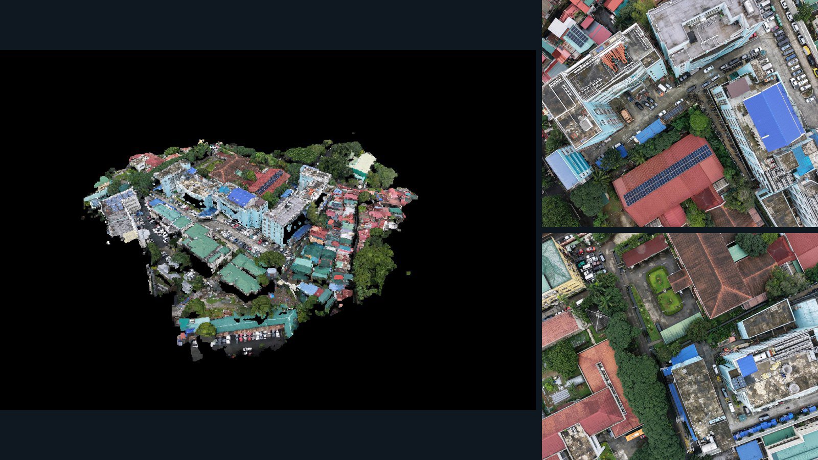
Philippines / Metro Manila

Quezon City drone capture · AD-2BC178D6

95 original drone photos from Quezon City, Metro Manila, Philippines, paired with metadata, project bundles, camera data, 3d meshes, point clouds. Evaluate a sample and request a commercial license for AI training or spatial analysis.

3D model-focused

Photos Orthomosaics Point clouds 3D meshes
95 photos1.6 GB Selected-file sample
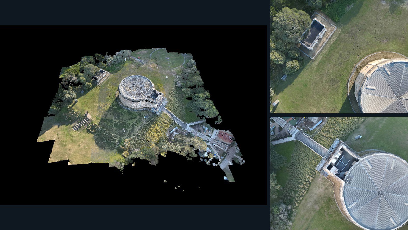
Australia / New South Wales

Bondi Junction drone capture · AD-C5E1DF27

66 original drone photos from Bondi Junction, New South Wales, Australia, paired with metadata, project bundles, camera data, 3d meshes, point clouds. Evaluate a sample and request a commercial license for AI training or spatial analysis.

3D model-focused

Photos Orthomosaics Point clouds 3D meshes
66 photos803.4 MB Selected-file sample

Have a specific dataset in mind?

Share your geography, formats, intended use and timeline.

Request data ↗