BROWSE BY ENVIRONMENT

Built environment drone datasets

Explore drone captures of buildings, developed land and the spaces between them. Inspect source views and available reconstructed products for computer vision, scene understanding and spatial analysis. Coverage and geometry quality vary by capture.

126 datasets

Scene-level inventories
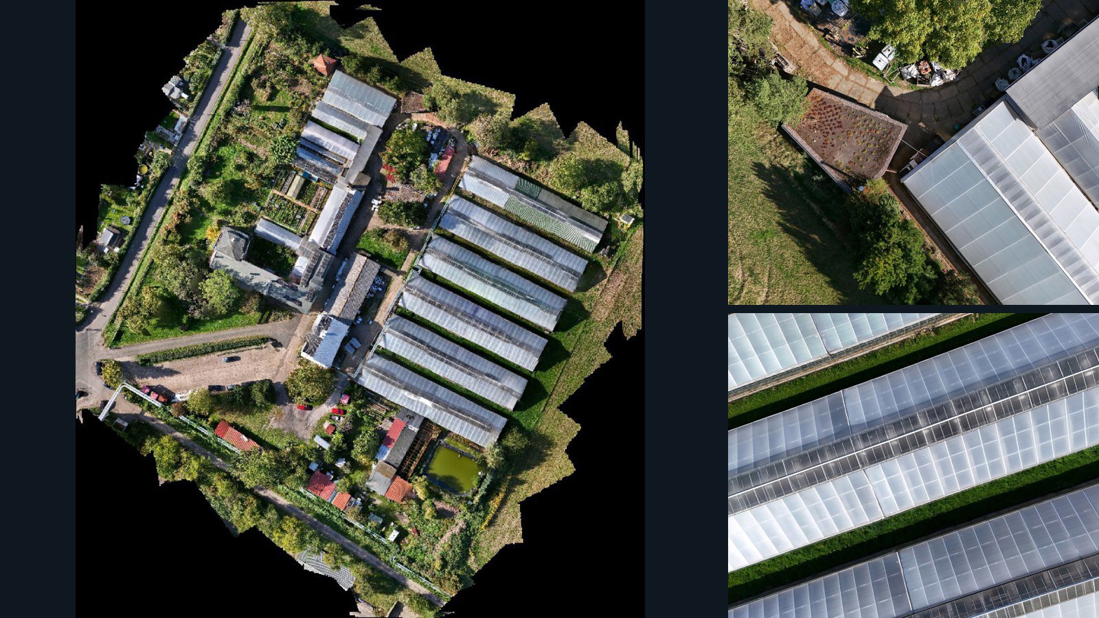
Germany / Thüringen

Erfurt drone capture · AD-89958534

148 original drone photos from Erfurt, Thüringen, Germany, paired with metadata, project bundles, camera data, point clouds, orthomosaics. Evaluate a sample and request a commercial license for AI training or spatial analysis.

Ortho-focused

Photos Orthomosaics Point clouds Camera data
148 photos5.6 GB Selected-file sample
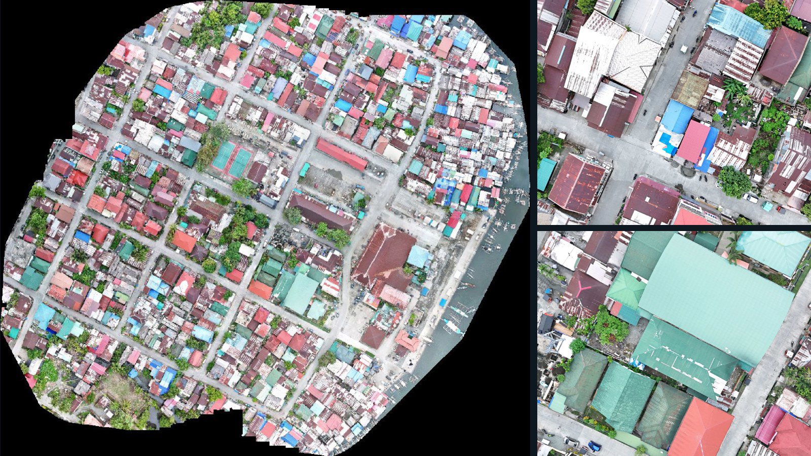
Philippines / Caraga

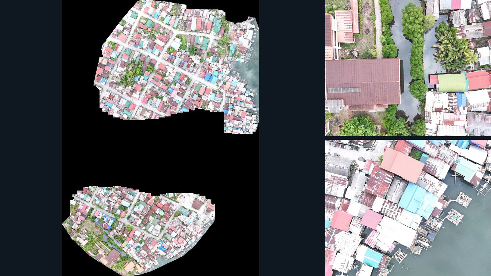
Cantilan drone capture · AD-CCC0F7DF

201 original drone photos from Cantilan, Caraga, Philippines, paired with metadata, project bundles, camera data, point clouds, orthomosaics. Evaluate a sample and request a commercial license for AI training or spatial analysis.

Ortho-focused

Photos Orthomosaics Point clouds Camera data
201 photos2.3 GB Selected-file sample
Philippines / Caraga

Cantilan drone capture · AD-E949A99A

400 original drone photos from Cantilan, Caraga, Philippines, paired with metadata, project bundles, camera data, point clouds, orthomosaics. Evaluate a sample and request a commercial license for AI training or spatial analysis.

Ortho-focused

Photos Orthomosaics Point clouds Camera data
400 photos4.1 GB Selected-file sample
United States / North Carolina

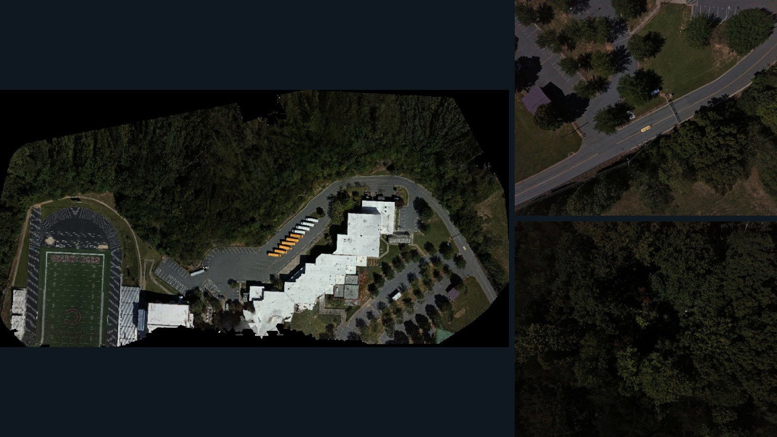
Black Mountain drone capture · AD-98389BC9

182 original drone photos from Black Mountain, North Carolina, United States, paired with metadata, project bundles, camera data, point clouds, orthomosaics. Evaluate a sample and request a commercial license for AI training or spatial analysis.

Ortho-focused

Photos Orthomosaics Point clouds Camera data
182 photos5.4 GB AerialAlign Selected-file sample
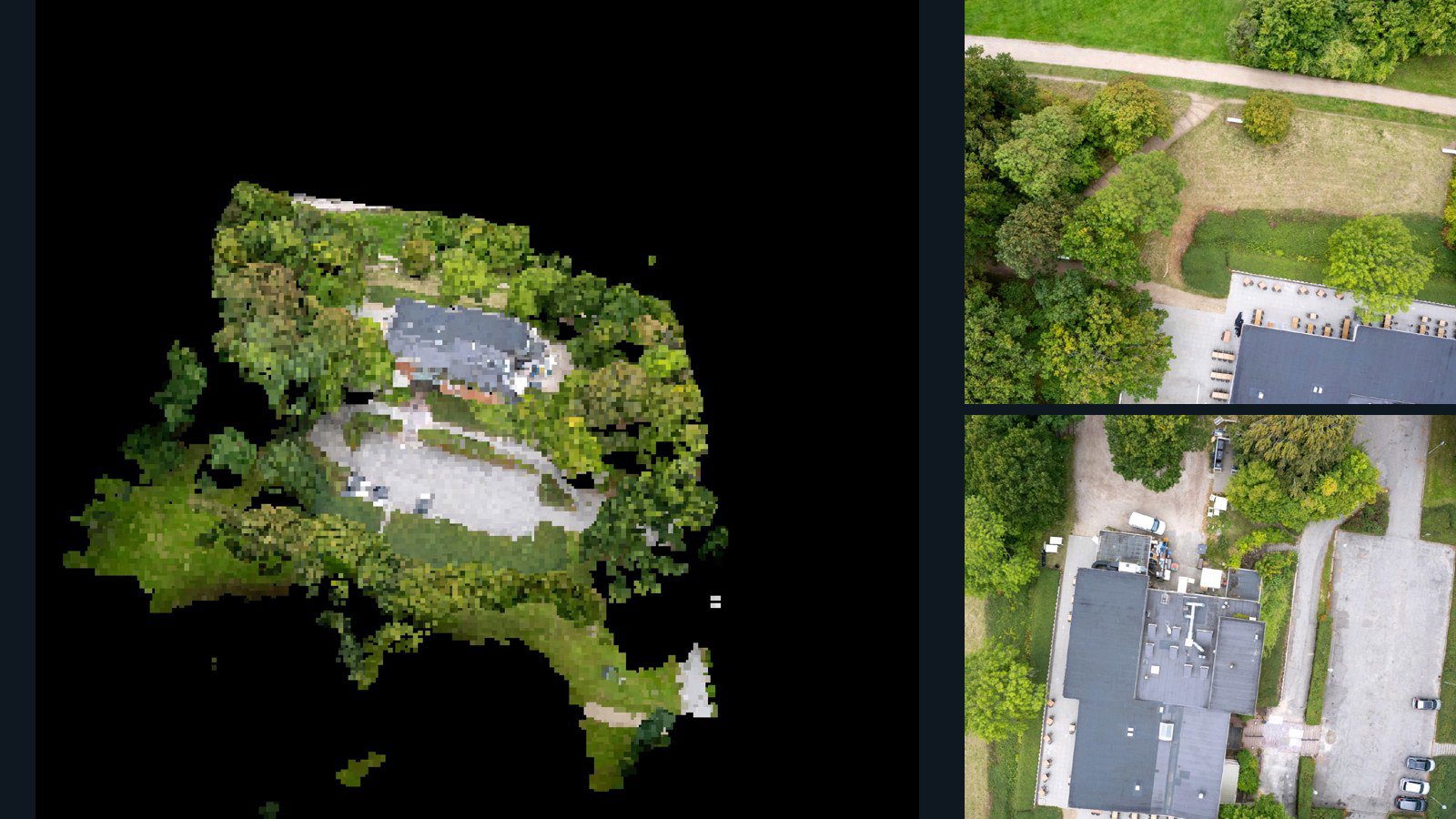
Nepal / Gandaki Province

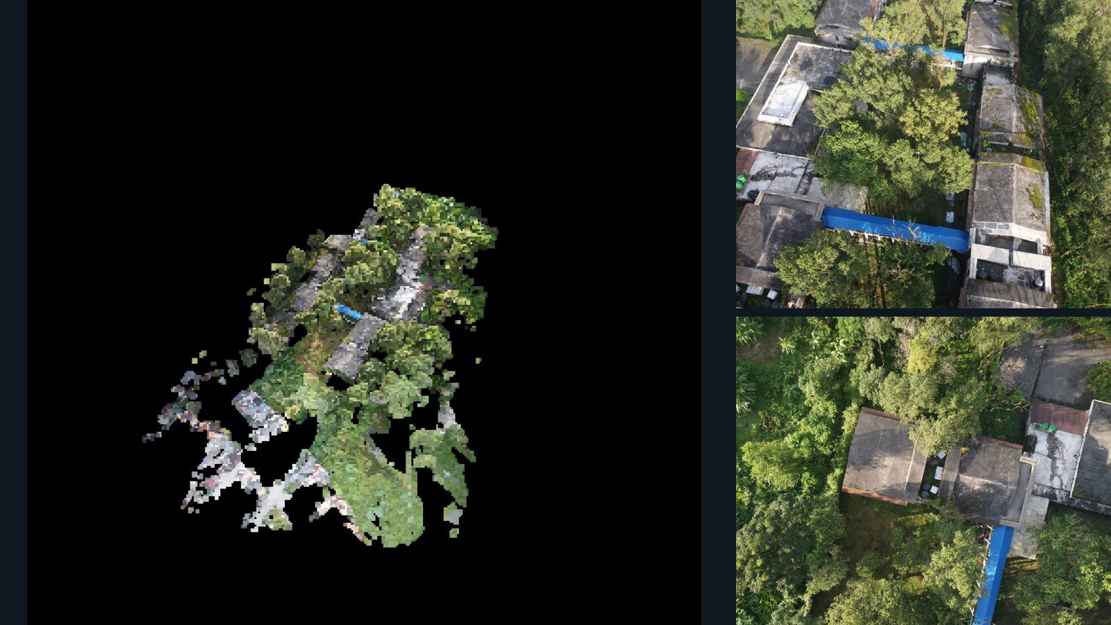
Pokhara drone capture · AD-1517F35C

46 original drone photos from Pokhara, Gandaki Province, Nepal, paired with metadata, project bundles, camera data, 3d meshes, point clouds. Evaluate a sample and request a commercial license for AI training or spatial analysis.

3D model-focused

Photos Orthomosaics Point clouds 3D meshes
46 photos656.2 MB Selected-file sample
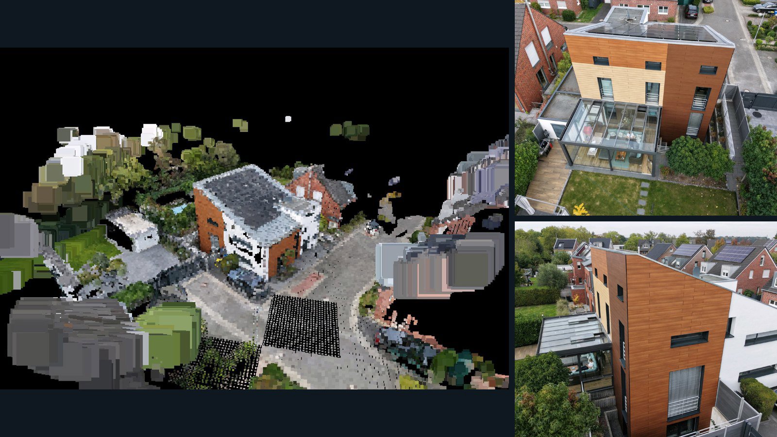
Germany / North Rhine-Westphalia

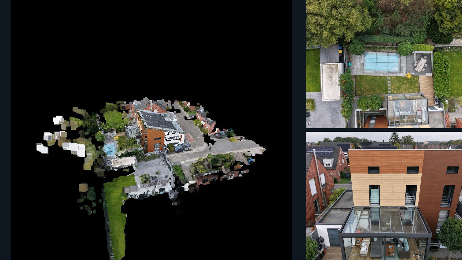
Meerbusch drone capture · AD-AA6821A1

53 original drone photos from Meerbusch, North Rhine-Westphalia, Germany, paired with metadata, project bundles, camera data, 3d meshes, point clouds. Evaluate a sample and request a commercial license for AI training or spatial analysis.

3D model-focused

Photos Orthomosaics Point clouds 3D meshes
53 photos691.1 MB Selected-file sample
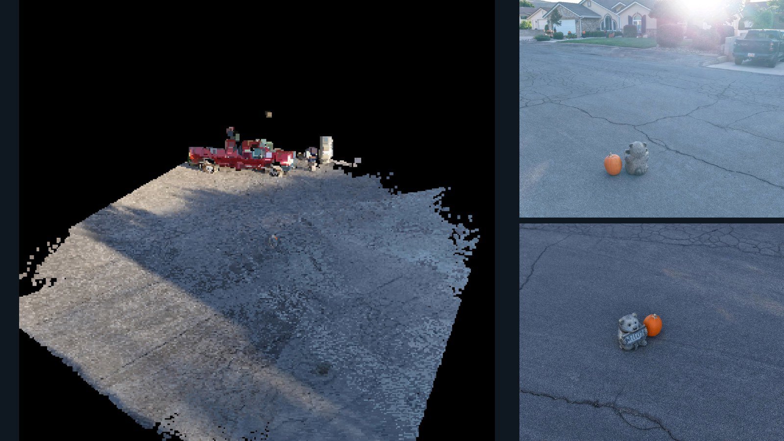
United States / Utah

St. George drone capture · AD-2F9D8DDA

55 original drone photos from St. George, Utah, United States, paired with metadata, project bundles, camera data, 3d meshes, point clouds. Evaluate a sample and request a commercial license for AI training or spatial analysis.

3D model-focused

Photos Orthomosaics Point clouds 3D meshes
55 photos591 MB AerialAlign Selected-file sample
Germany / North Rhine-Westphalia

Meerbusch drone capture · AD-D437E23B

46 original drone photos from Meerbusch, North Rhine-Westphalia, Germany, paired with metadata, project bundles, camera data, 3d meshes, point clouds. Evaluate a sample and request a commercial license for AI training or spatial analysis.

3D model-focused

Photos Orthomosaics Point clouds 3D meshes
46 photos615.2 MB Selected-file sample
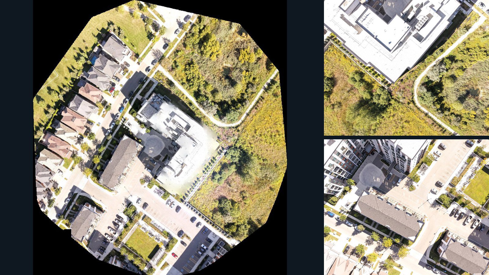
Canada / Ontario

Oakville drone capture · AD-A84D0F81

42 original drone photos from Oakville, Ontario, Canada, paired with metadata, project bundles, camera data, point clouds, orthomosaics. Evaluate a sample and request a commercial license for AI training or spatial analysis.

Ortho-focused

Photos Orthomosaics Point clouds Camera data
42 photos1.1 GB Selected-file sample
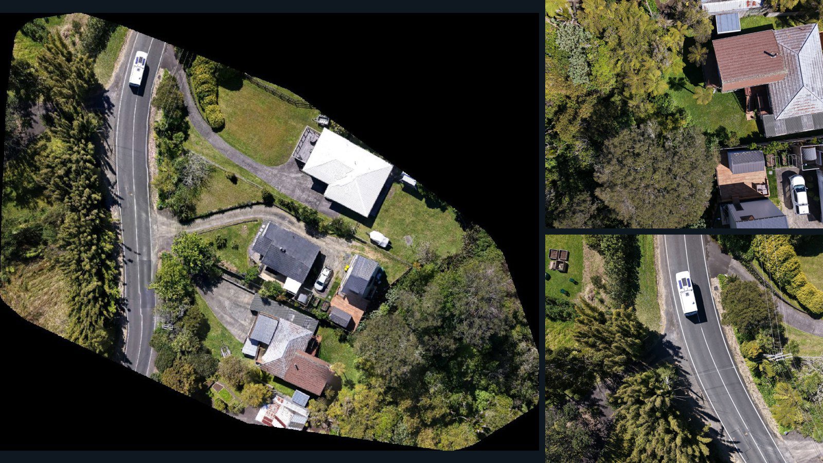
New Zealand / Auckland

Auckland drone capture · AD-4DF675C4

47 original drone photos from Auckland, New Zealand, paired with metadata, project bundles, camera data, point clouds, orthomosaics. Evaluate a sample and request a commercial license for AI training or spatial analysis.

Ortho-focused

Photos Orthomosaics Point clouds Camera data
47 photos1.6 GB Selected-file sample
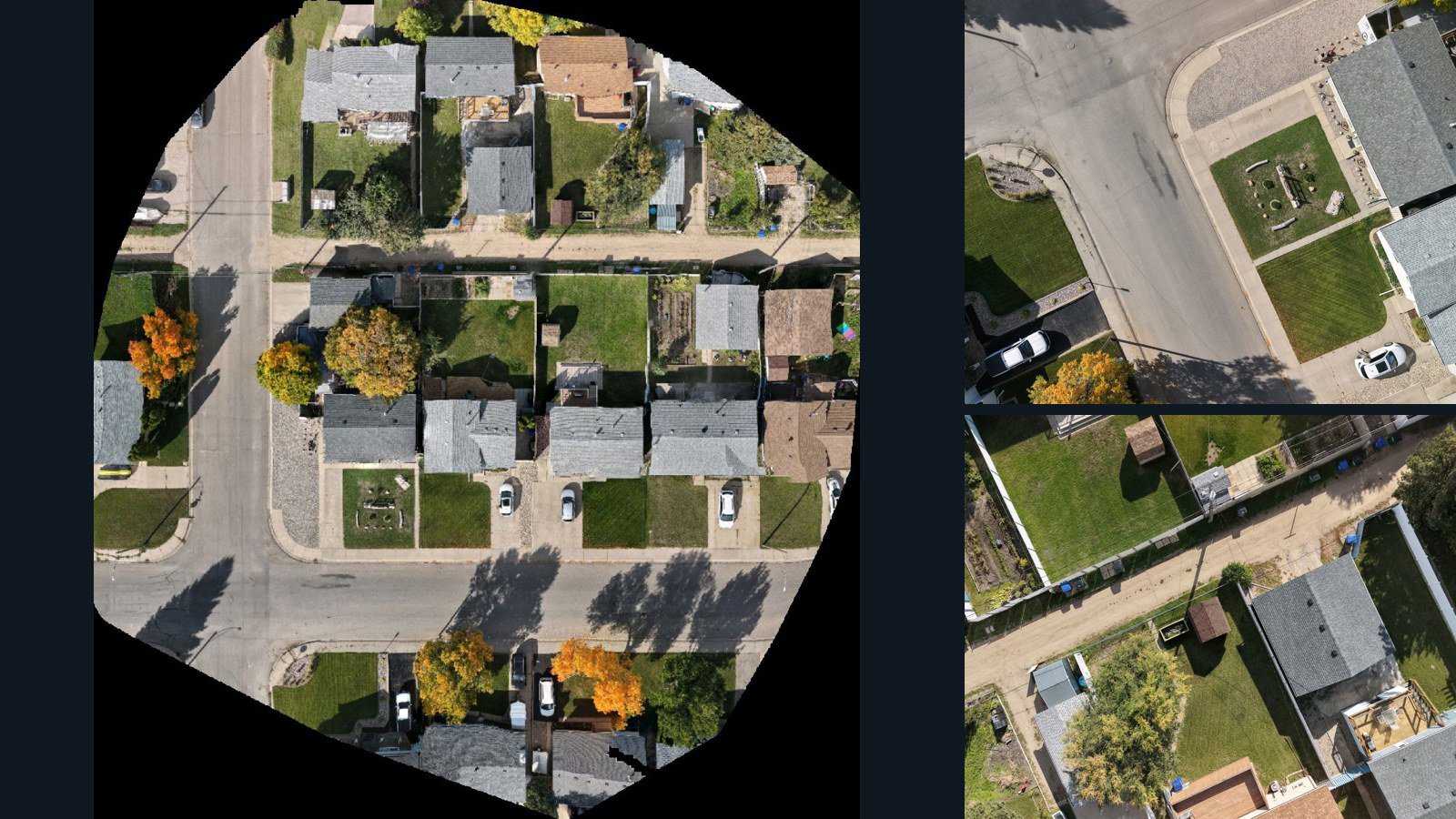
Canada / Saskatchewan

Moose Jaw drone capture · AD-7F1EC1CD

110 original drone photos from Moose Jaw, Saskatchewan, Canada, paired with metadata, project bundles, camera data, point clouds, orthomosaics. Evaluate a sample and request a commercial license for AI training or spatial analysis.

Ortho-focused

Photos Orthomosaics Point clouds Camera data
110 photos1.3 GB Selected-file sample
Denmark / region

Frederikssund drone capture · AD-4E113279

33 original drone photos from Frederikssund, region, Denmark, paired with metadata, project bundles, camera data, 3d meshes, point clouds. Evaluate a sample and request a commercial license for AI training or spatial analysis.

3D model-focused

Photos Orthomosaics Point clouds 3D meshes
33 photos635.7 MB Selected-file sample

Have a specific dataset in mind?

Share your geography, formats, intended use and timeline.

Request data ↗