BROWSE BY ENVIRONMENT

Terrain & landscapes drone datasets

Browse terrain, landforms and open landscapes with retained photogrammetric outputs. Elevation and spatial products are processing-derived; coordinate systems, resolution and accuracy information vary by scene.

68 datasets

Scene-level inventories
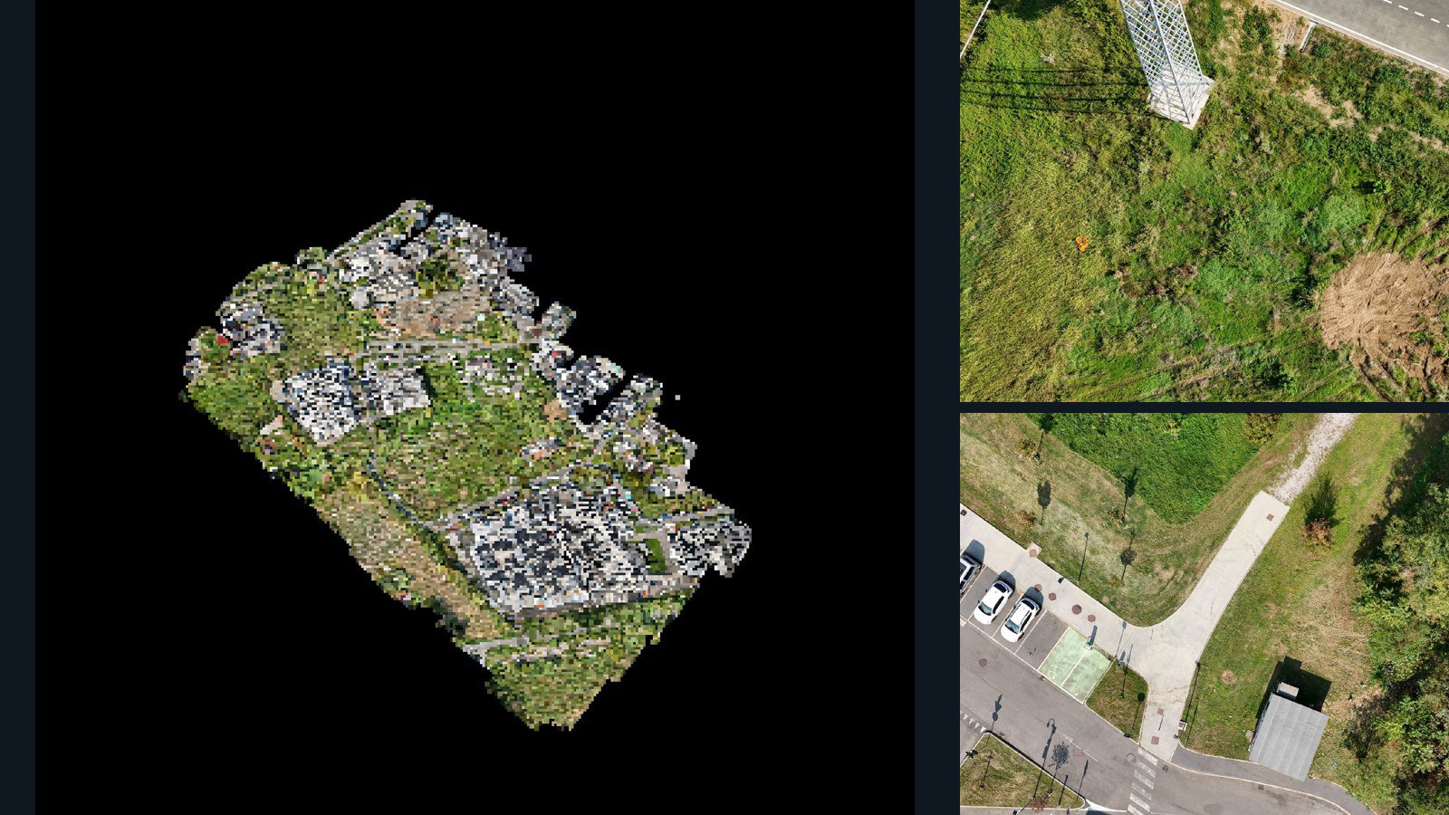
Italy / Lombardia

Provincia di Monza e della Brianza drone capture · AD-35854FC8

1,484 original drone photos from Provincia di Monza e della Brianza, Lombardia, Italy, paired with metadata, project bundles, camera data, 3d meshes, point clouds. Evaluate a sample and request a commercial license for AI training or spatial analysis.

3D model-focused

Photos Orthomosaics Point clouds 3D meshes
1,484 photos19 GB Selected-file sample
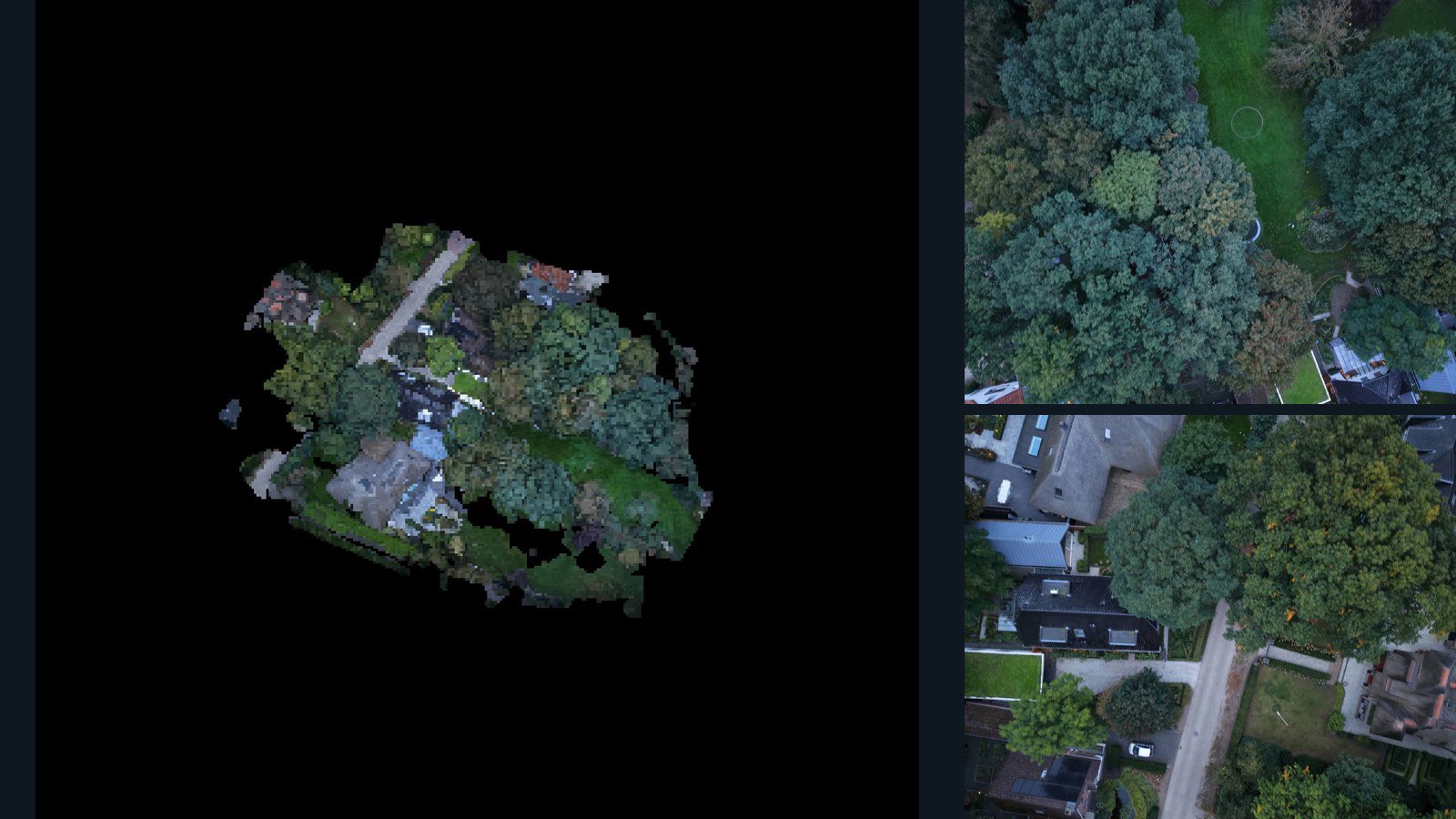
Netherlands / Gelderland

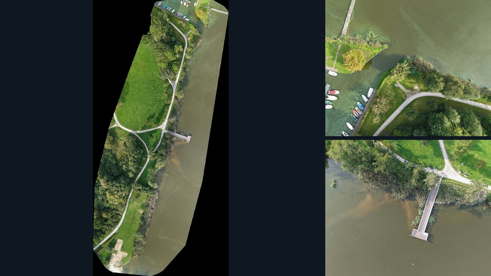
Lunteren drone capture · AD-940ED08D

25 original drone photos from Lunteren, Gelderland, Netherlands, paired with metadata, project bundles, camera data, 3d meshes, point clouds. Evaluate a sample and request a commercial license for AI training or spatial analysis.

3D model-focused

Photos Orthomosaics Point clouds 3D meshes
25 photos395.4 MB Selected-file sample
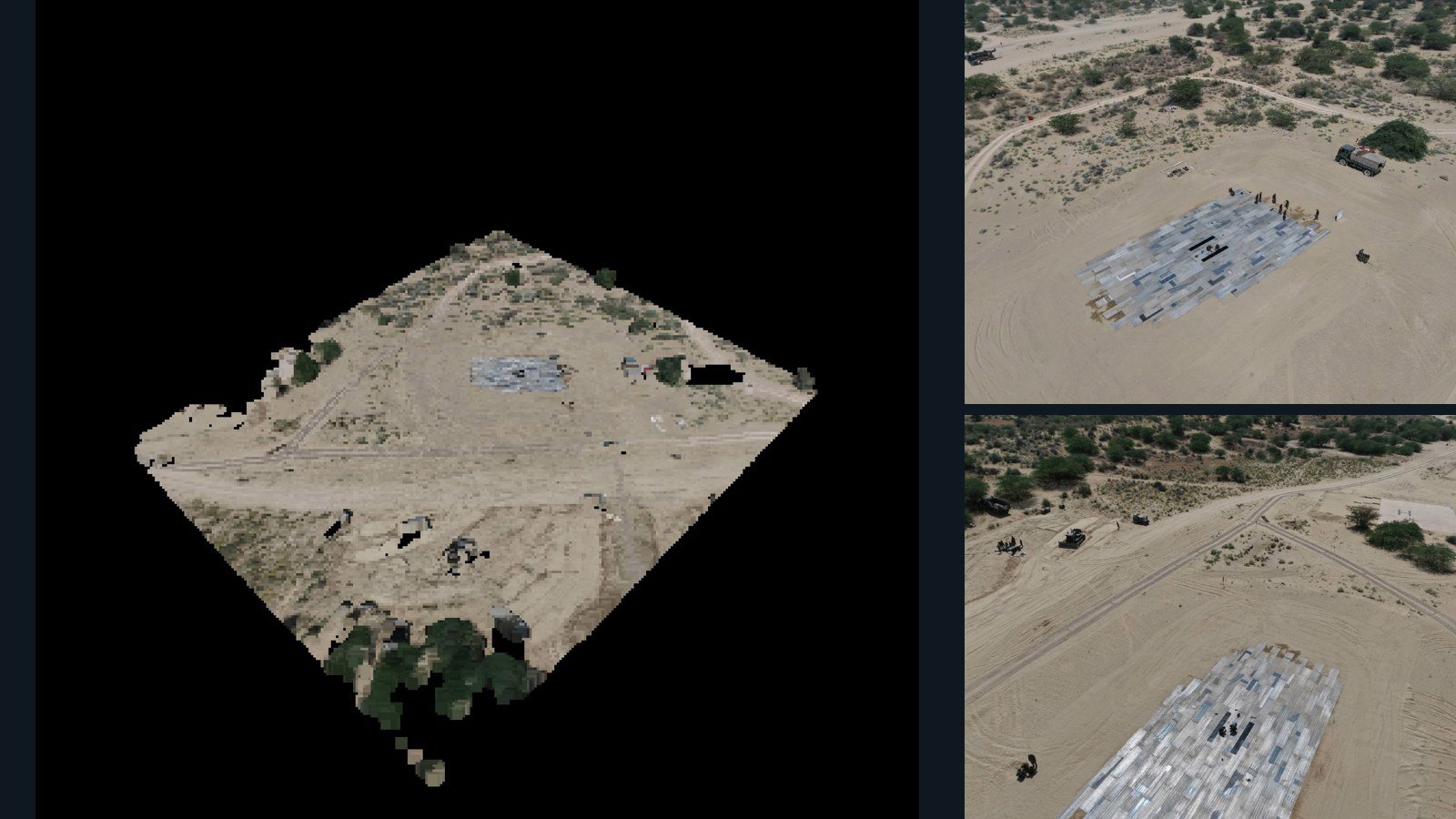
India / Rajasthan

Nachna drone capture · AD-0D453E3C

23 original drone photos from Nachna, Rajasthan, India, paired with metadata, project bundles, camera data, 3d meshes, point clouds. Evaluate a sample and request a commercial license for AI training or spatial analysis.

3D model-focused

Photos Orthomosaics Point clouds 3D meshes
23 photos591.7 MB Selected-file sample
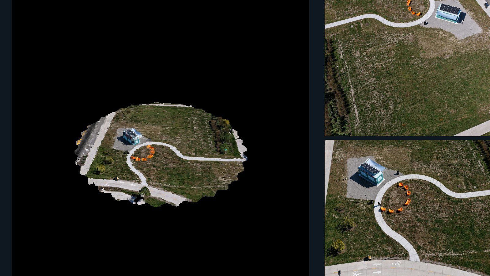
United States / Michigan

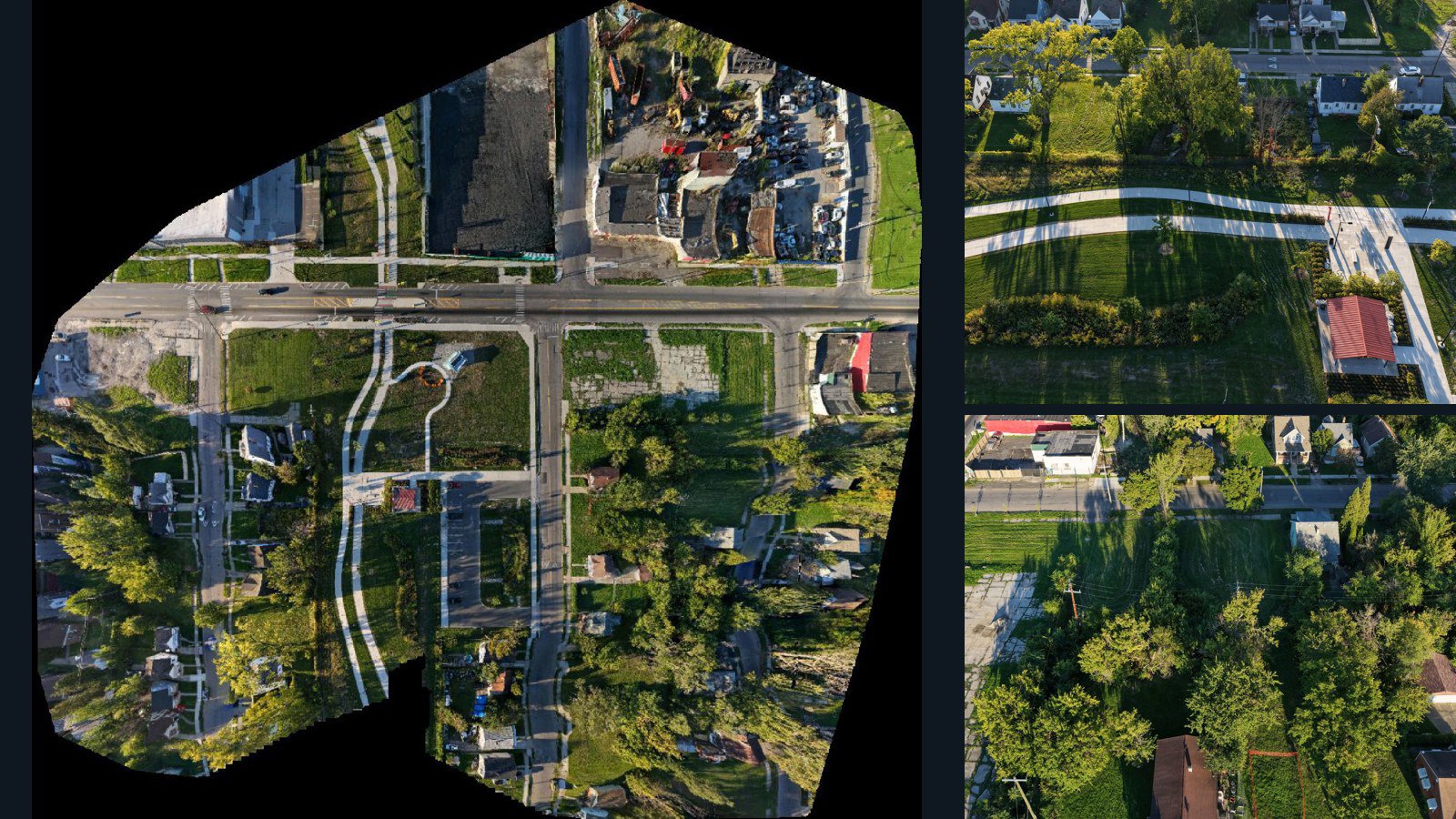
Detroit drone capture · AD-766D0DAF

31 original drone photos from Detroit, Michigan, United States, paired with metadata, project bundles, camera data, 3d meshes, point clouds. Evaluate a sample and request a commercial license for AI training or spatial analysis.

3D model-focused

Photos Orthomosaics Point clouds 3D meshes
31 photos781.3 MB Selected-file sample
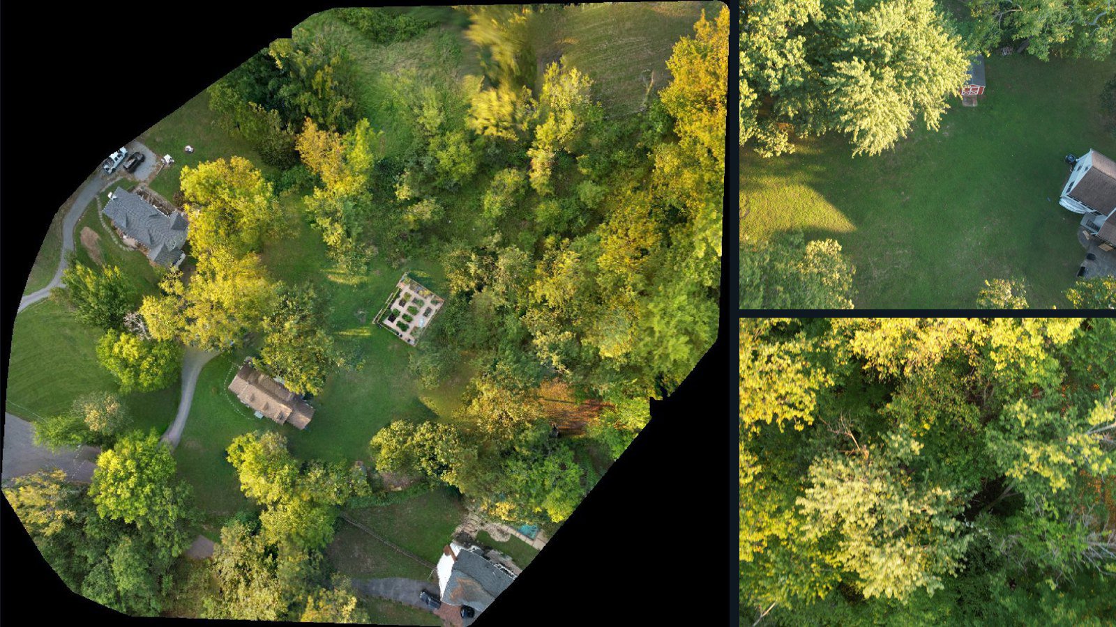
United States / Maryland

Prince George's County drone capture · AD-B69749F2

371 original drone photos from Prince George's County, Maryland, United States, paired with metadata, project bundles, camera data, point clouds, orthomosaics. Evaluate a sample and request a commercial license for AI training or spatial analysis.

Ortho-focused

Photos Orthomosaics Point clouds Camera data
371 photos3.6 GB Selected-file sample
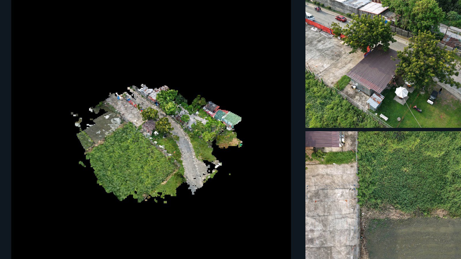
Philippines / Calabarzon

Imus drone capture · AD-F790A681

74 original drone photos from Imus, Calabarzon, Philippines, paired with metadata, project bundles, camera data, 3d meshes, point clouds. Evaluate a sample and request a commercial license for AI training or spatial analysis.

3D model-focused

Photos Orthomosaics Point clouds 3D meshes
74 photos2 GB Selected-file sample
United States / Michigan

Detroit drone capture · AD-522103E9

100 original drone photos from Detroit, Michigan, United States, paired with metadata, project bundles, camera data, point clouds, orthomosaics. Evaluate a sample and request a commercial license for AI training or spatial analysis.

Ortho-focused

Photos Orthomosaics Point clouds Camera data
100 photos3.1 GB Selected-file sample
Germany / Niedersachsen

Bad Zwischenahn drone capture · AD-9EA9246D

180 original drone photos from Bad Zwischenahn, Niedersachsen, Germany, paired with metadata, project bundles, camera data, point clouds, orthomosaics. Evaluate a sample and request a commercial license for AI training or spatial analysis.

Ortho-focused

Photos Orthomosaics Point clouds Camera data
180 photos5.8 GB Selected-file sample
New Zealand / Bay of Plenty Region

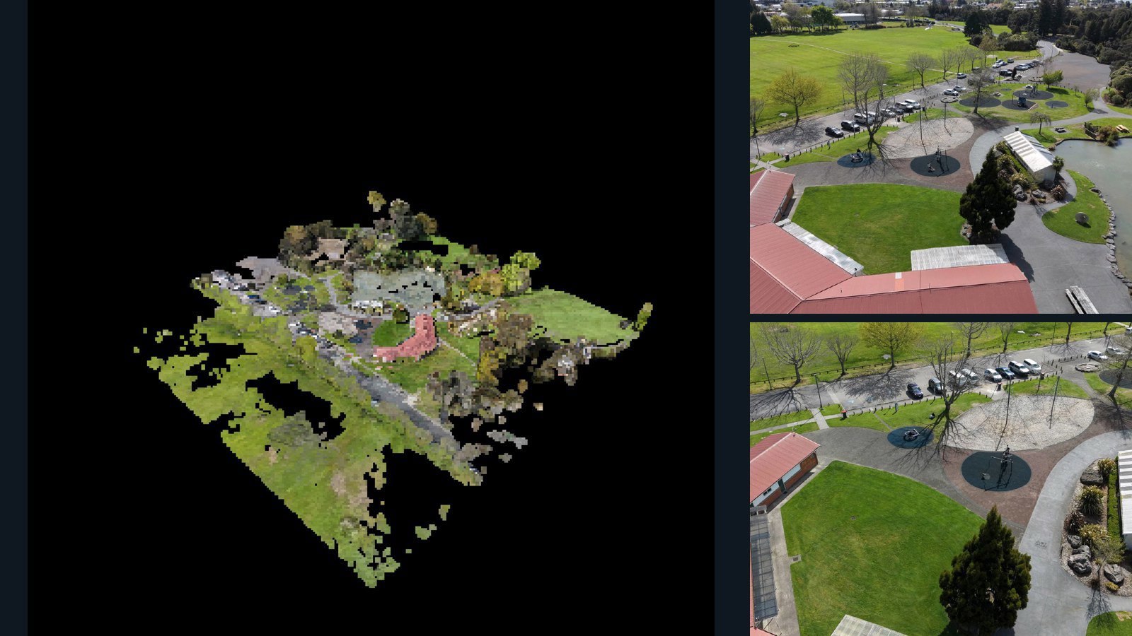
Rotorua drone capture · AD-2E434B6D

90 original drone photos from Rotorua, Bay of Plenty Region, New Zealand, paired with metadata, project bundles, camera data, 3d meshes, point clouds. Evaluate a sample and request a commercial license for AI training or spatial analysis.

3D model-focused

Photos Orthomosaics Point clouds 3D meshes
90 photos1 GB Selected-file sample
United States / Arkansas

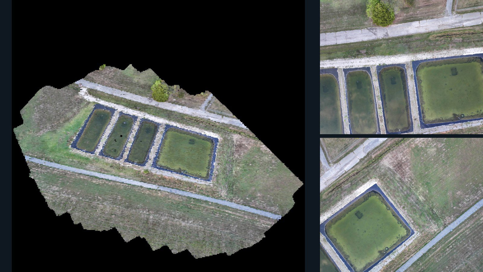
Bella Vista drone capture · AD-27223E56

59 original drone photos from Bella Vista, Arkansas, United States, paired with metadata, project bundles, camera data, 3d meshes, point clouds. Evaluate a sample and request a commercial license for AI training or spatial analysis.

3D model-focused

Photos Orthomosaics Point clouds 3D meshes
59 photos1.1 GB AerialAlign Selected-file sample
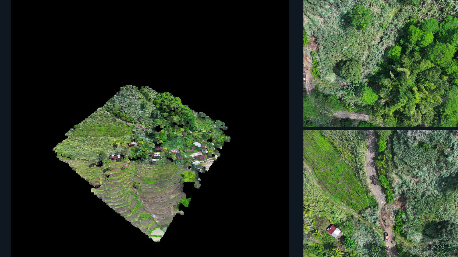
Philippines / Northern Mindanao

Quezon drone capture · AD-E31CB416

22 original drone photos from Quezon, Northern Mindanao, Philippines, paired with metadata, project bundles, camera data, 3d meshes, point clouds. Evaluate a sample and request a commercial license for AI training or spatial analysis.

3D model-focused

Photos Orthomosaics Point clouds 3D meshes
22 photos699.8 MB Selected-file sample
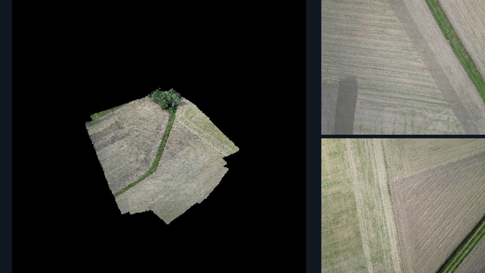
Poland / Greater Poland Voivodeship

Paliszewo drone capture · AD-3386514B

100 original drone photos from Paliszewo, Greater Poland Voivodeship, Poland, paired with metadata, project bundles, camera data, 3d meshes, point clouds. Evaluate a sample and request a commercial license for AI training or spatial analysis.

3D model-focused

Photos Orthomosaics Point clouds 3D meshes
100 photos1 GB Selected-file sample

Have a specific dataset in mind?

Share your geography, formats, intended use and timeline.

Request data ↗