BROWSE BY ENVIRONMENT

Terrain & landscapes drone datasets

Browse terrain, landforms and open landscapes with retained photogrammetric outputs. Elevation and spatial products are processing-derived; coordinate systems, resolution and accuracy information vary by scene.

68 datasets

Scene-level inventories
Netherlands / Noord-Holland

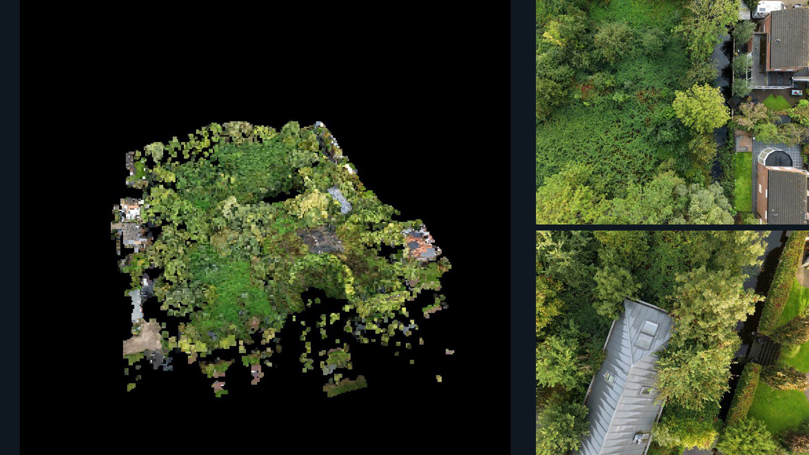
Purmerend drone capture · AD-300AA291

43 original drone photos from Purmerend, Noord-Holland, Netherlands, paired with metadata, project bundles, camera data, 3d meshes, point clouds. Evaluate a sample and request a commercial license for AI training or spatial analysis.

3D model-focused

Photos Orthomosaics Point clouds 3D meshes
43 photos989.4 MB Selected-file sample
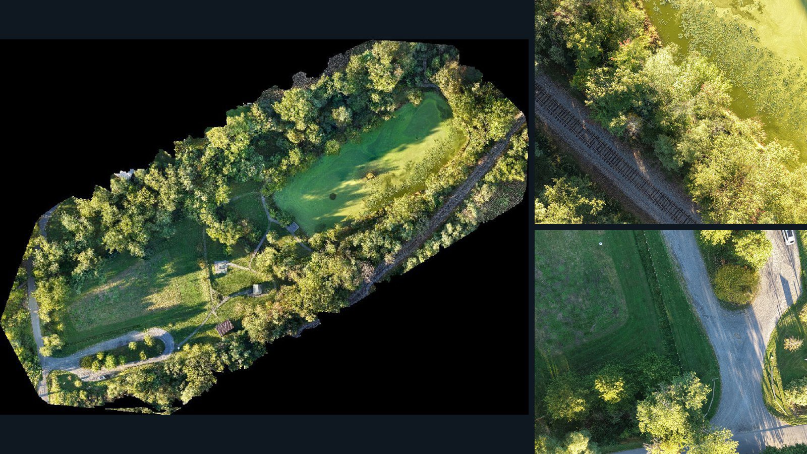
United States / Rhode Island

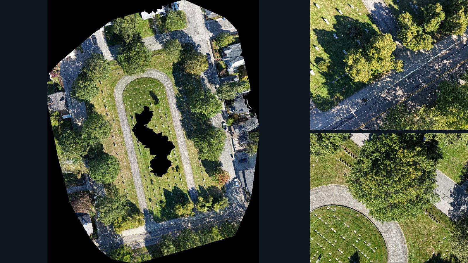
Newport drone capture · AD-BF677232

53 original drone photos from Newport, Rhode Island, United States, paired with metadata, project bundles, camera data, point clouds, orthomosaics. Evaluate a sample and request a commercial license for AI training or spatial analysis.

Ortho-focused

Photos Orthomosaics Point clouds Camera data
53 photos4.4 GB AerialAlign Selected-file sample
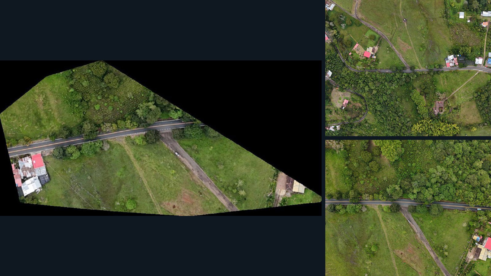
Colombia / Huila

San Agustín drone capture · AD-BEE8B109

6 original drone photos from San Agustín, Huila, Colombia, paired with metadata, project bundles, camera data, point clouds, orthomosaics. Evaluate a sample and request a commercial license for AI training or spatial analysis.

Ortho-focused

Photos Orthomosaics Point clouds Camera data
6 photos57.8 MB Selected-file sample
Unknown

Unknown drone capture · AD-B9D829E2

573 original drone photos from an unspecified location, paired with metadata, project bundles, camera data, point clouds, orthomosaics. Evaluate a sample and request a commercial license for AI training or spatial analysis.

Ortho-focused

Photos Orthomosaics Point clouds Camera data
573 photos7.2 GB Selected-file sample
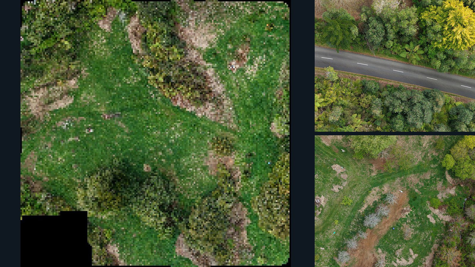
New Zealand / Waikato Region

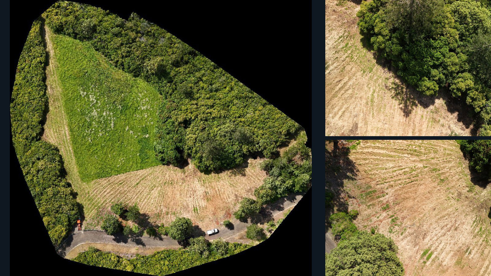
Waihi drone capture · AD-DF6CE9D3

46 original drone photos from Waihi, Waikato Region, New Zealand, paired with metadata, project bundles, camera data, point clouds, orthomosaics. Evaluate a sample and request a commercial license for AI training or spatial analysis.

Ortho-focused

Photos Orthomosaics Point clouds Camera data
46 photos383.7 MB Selected-file sample
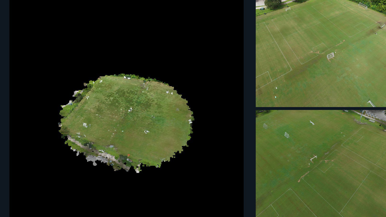
United States / Florida

Winter Park drone capture · AD-C8958399

50 original drone photos from Winter Park, Florida, United States, paired with metadata, project bundles, camera data, 3d meshes, point clouds. Evaluate a sample and request a commercial license for AI training or spatial analysis.

3D model-focused

Photos Orthomosaics Point clouds 3D meshes
50 photos663.8 MB Selected-file sample
United States / Missouri

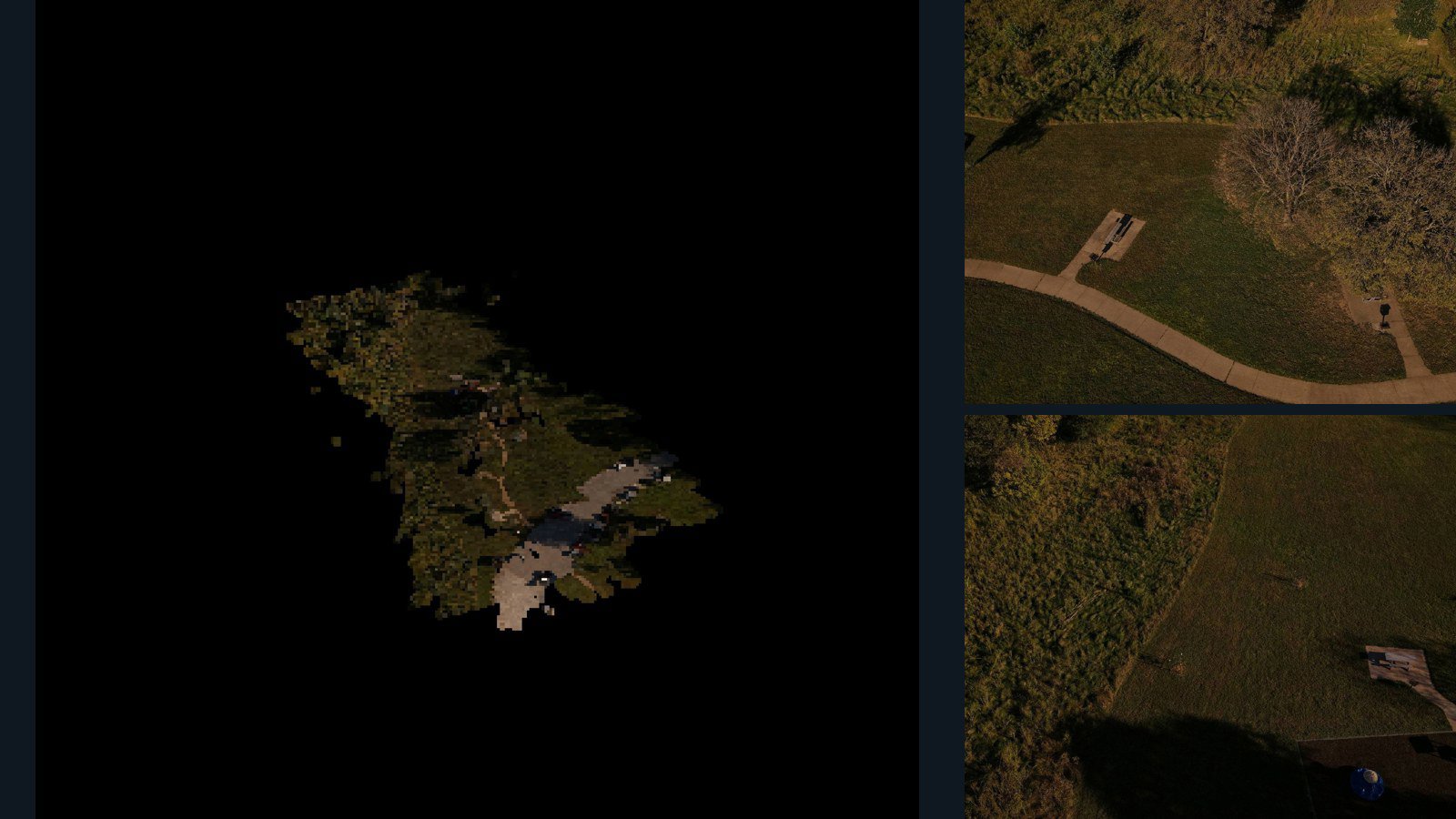
Manchester drone capture · AD-B07F2622

32 original drone photos from Manchester, Missouri, United States, paired with metadata, project bundles, camera data, 3d meshes, point clouds. Evaluate a sample and request a commercial license for AI training or spatial analysis.

3D model-focused

Photos Orthomosaics Point clouds 3D meshes
32 photos831.2 MB Selected-file sample
Norfolk Island / region

region drone capture · AD-D32C8F29

328 original drone photos from region, Norfolk Island, paired with metadata, project bundles, camera data, point clouds, orthomosaics. Evaluate a sample and request a commercial license for AI training or spatial analysis.

Ortho-focused

Photos Orthomosaics Point clouds Camera data
328 photos11.8 GB Selected-file sample
India / Rajasthan

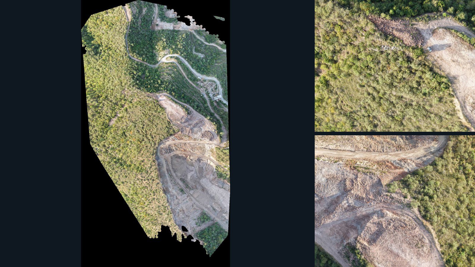
Delwara drone capture · AD-BA6206FE

84 original drone photos from Delwara, Rajasthan, India, paired with metadata, project bundles, camera data, point clouds, orthomosaics. Evaluate a sample and request a commercial license for AI training or spatial analysis.

Ortho-focused

Photos Orthomosaics Point clouds Camera data
84 photos1.6 GB Selected-file sample
United States / Texas

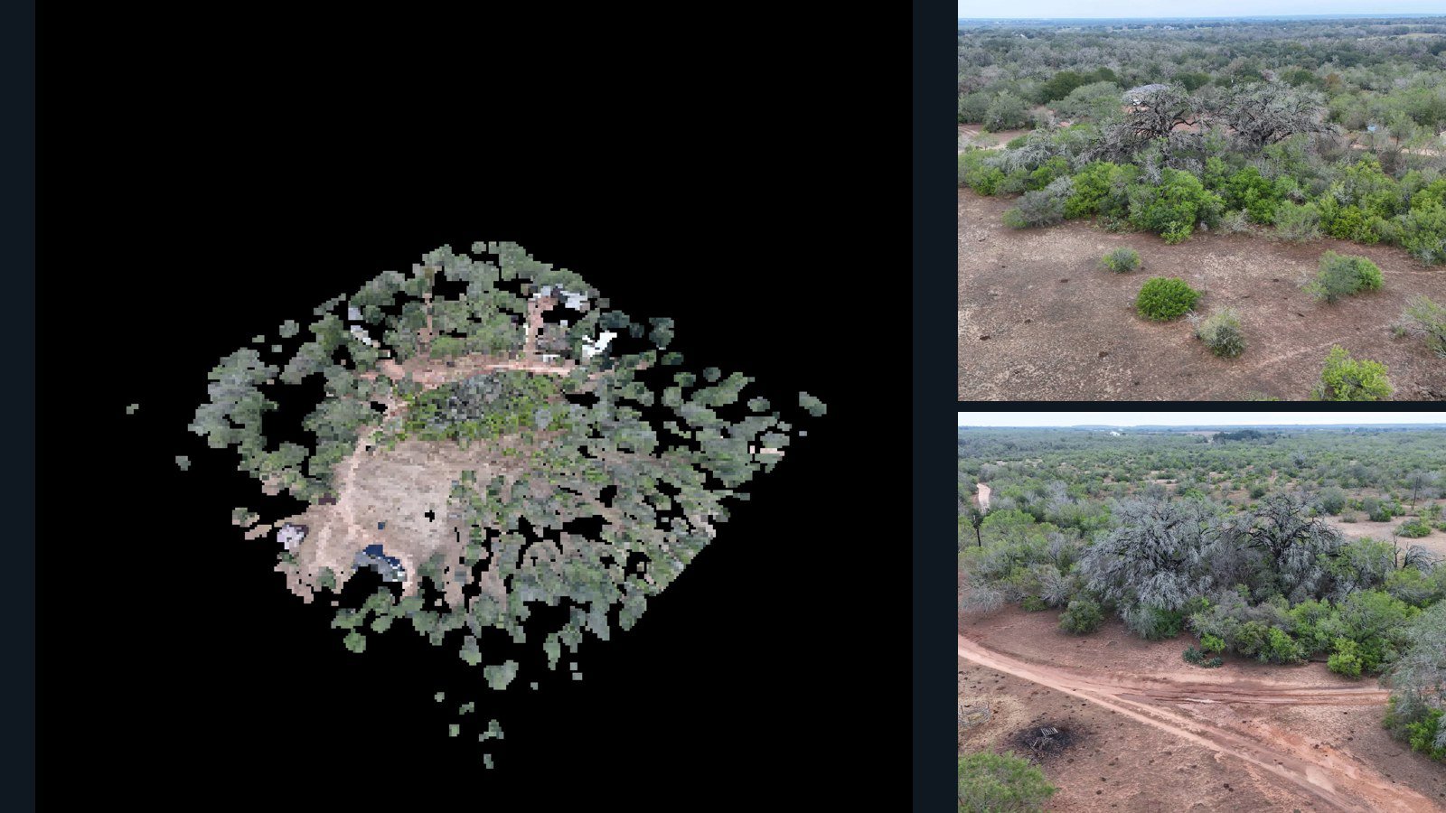
Stockdale drone capture · AD-2A830F4B

48 original drone photos from Stockdale, Texas, United States, paired with metadata, project bundles, camera data, 3d meshes, point clouds. Evaluate a sample and request a commercial license for AI training or spatial analysis.

3D model-focused

Photos Orthomosaics Point clouds 3D meshes
48 photos1.5 GB Selected-file sample
United States / Michigan

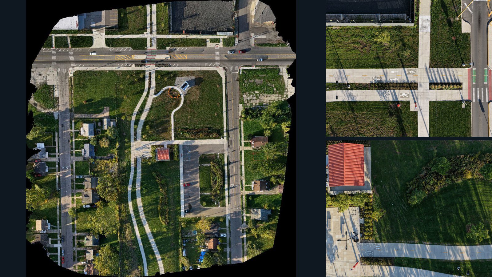
Detroit drone capture · AD-088577A6

322 original drone photos from Detroit, Michigan, United States, paired with metadata, project bundles, camera data, point clouds, orthomosaics. Evaluate a sample and request a commercial license for AI training or spatial analysis.

Ortho-focused

Photos Orthomosaics Point clouds Camera data
322 photos8.8 GB AerialAlign Selected-file sample
Sweden / Halland County

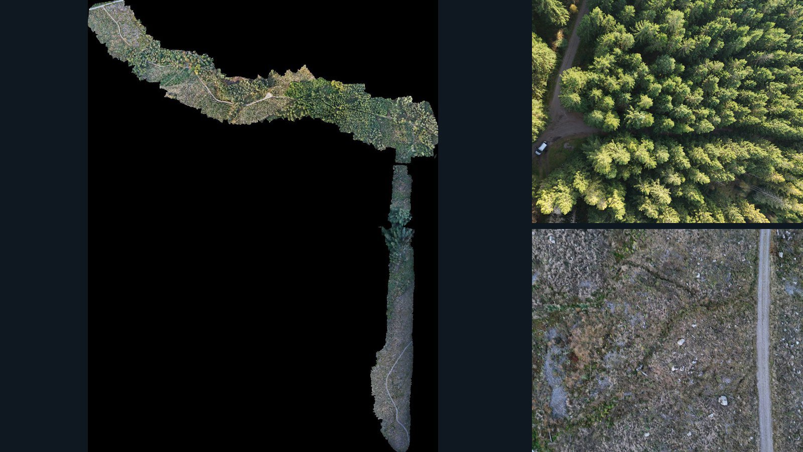
Halland County drone capture · AD-AA45E5D3

1,499 original drone photos from Halland County, Sweden, paired with metadata, project bundles, camera data, point clouds, orthomosaics. Evaluate a sample and request a commercial license for AI training or spatial analysis.

Ortho-focused

Photos Orthomosaics Point clouds Camera data
1,499 photos20.5 GB Selected-file sample

Have a specific dataset in mind?

Share your geography, formats, intended use and timeline.

Request data ↗