BROWSE BY ENVIRONMENT

Construction drone datasets

Find aerial observations of construction sites and work in progress. Compare capture dates and available media before choosing scenes for visual understanding or project analysis. A single capture does not imply a time series.

33 datasets

Scene-level inventories
United States / Rhode Island

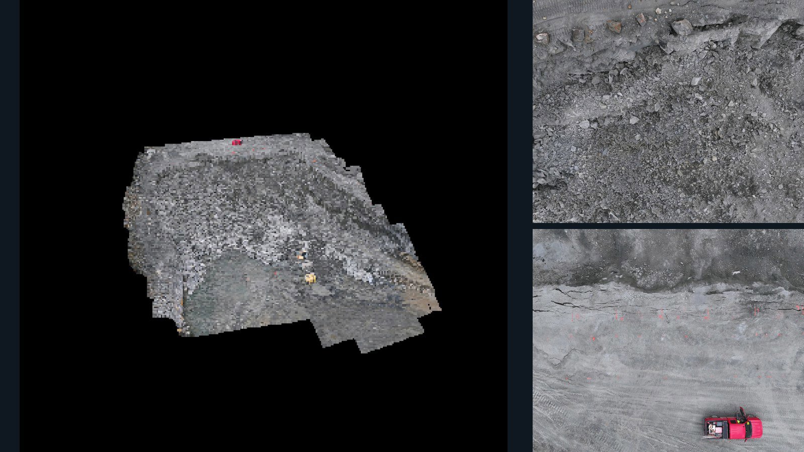
Richmond drone capture · AD-0B18AFCA

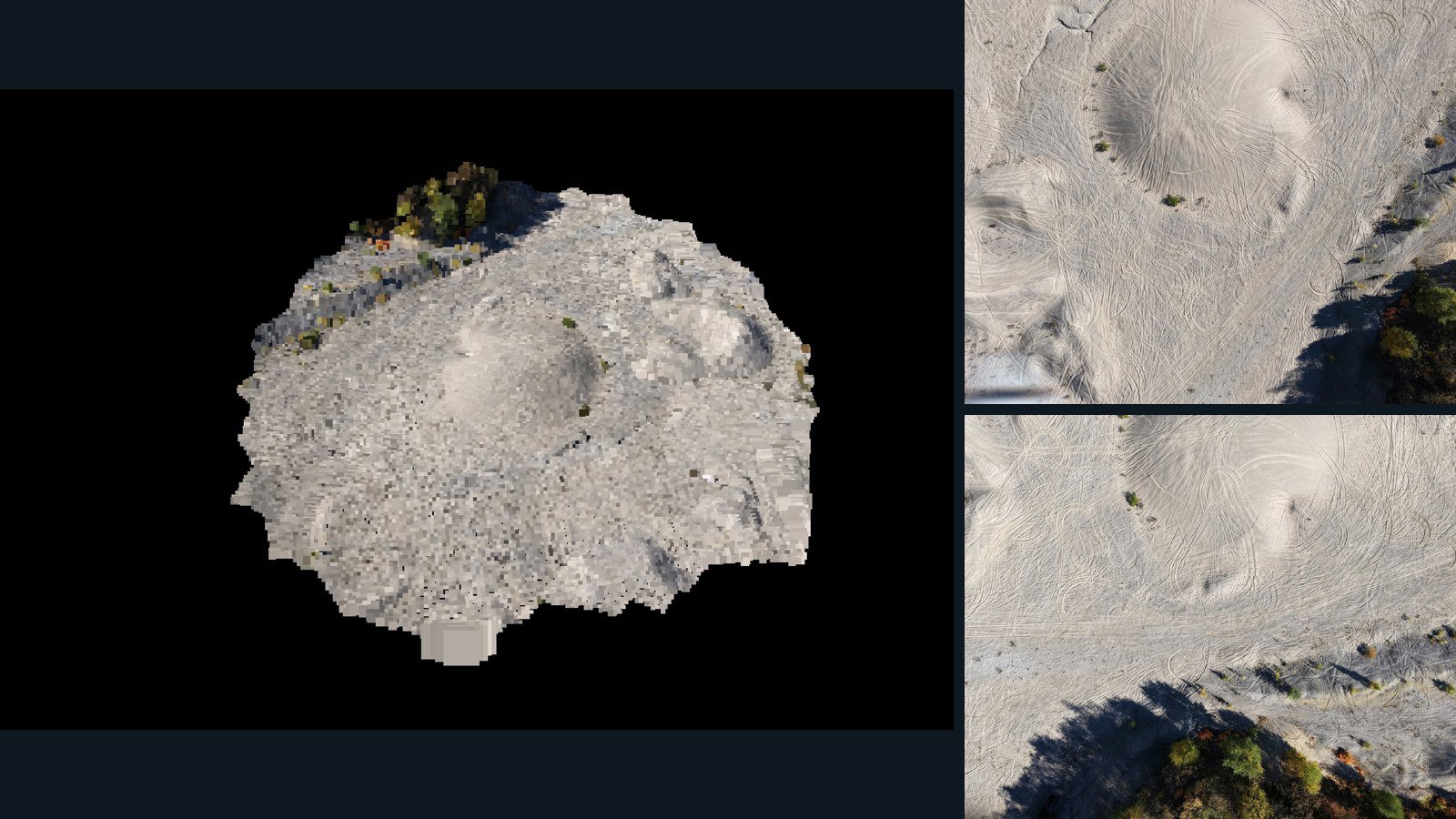
75 original drone photos from Richmond, Rhode Island, United States, paired with metadata, project bundles, camera data, 3d meshes, point clouds. Evaluate a sample and request a commercial license for AI training or spatial analysis.

3D model-focused

Photos Orthomosaics Point clouds 3D meshes
75 photos1.9 GB Selected-file sample
United States / Massachusetts

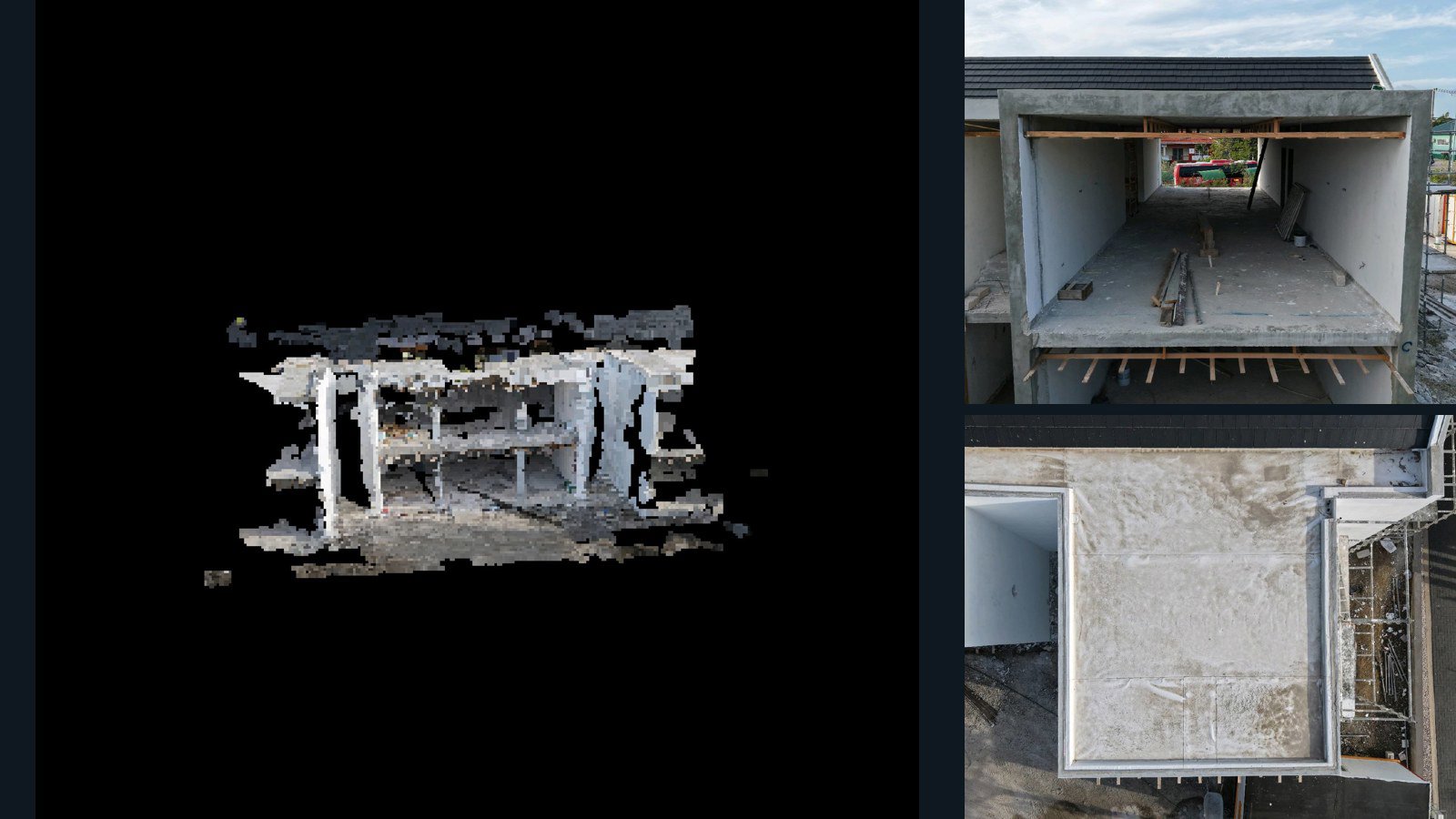
Freetown drone capture · AD-9069785C

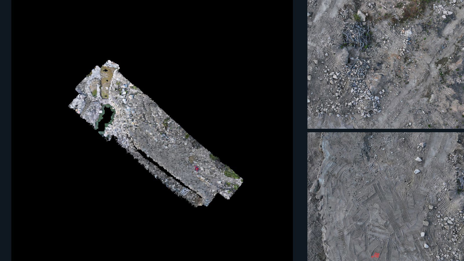
356 original drone photos from Freetown, Massachusetts, United States, paired with metadata, project bundles, camera data, 3d meshes, point clouds. Evaluate a sample and request a commercial license for AI training or spatial analysis.

3D model-focused

Photos Orthomosaics Point clouds 3D meshes
356 photos7.6 GB Selected-file sample
Thailand / Buri Ram

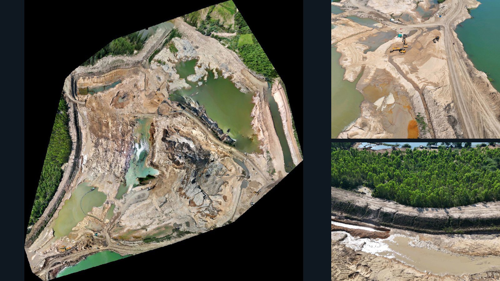
Mafueang drone capture · AD-4BBDB55E

60 original drone photos from Mafueang, Buri Ram, Thailand, paired with metadata, project bundles, camera data, point clouds, orthomosaics. Evaluate a sample and request a commercial license for AI training or spatial analysis.

Ortho-focused

Photos Orthomosaics Point clouds Camera data
60 photos2.8 GB Selected-file sample
Canada / Ontario

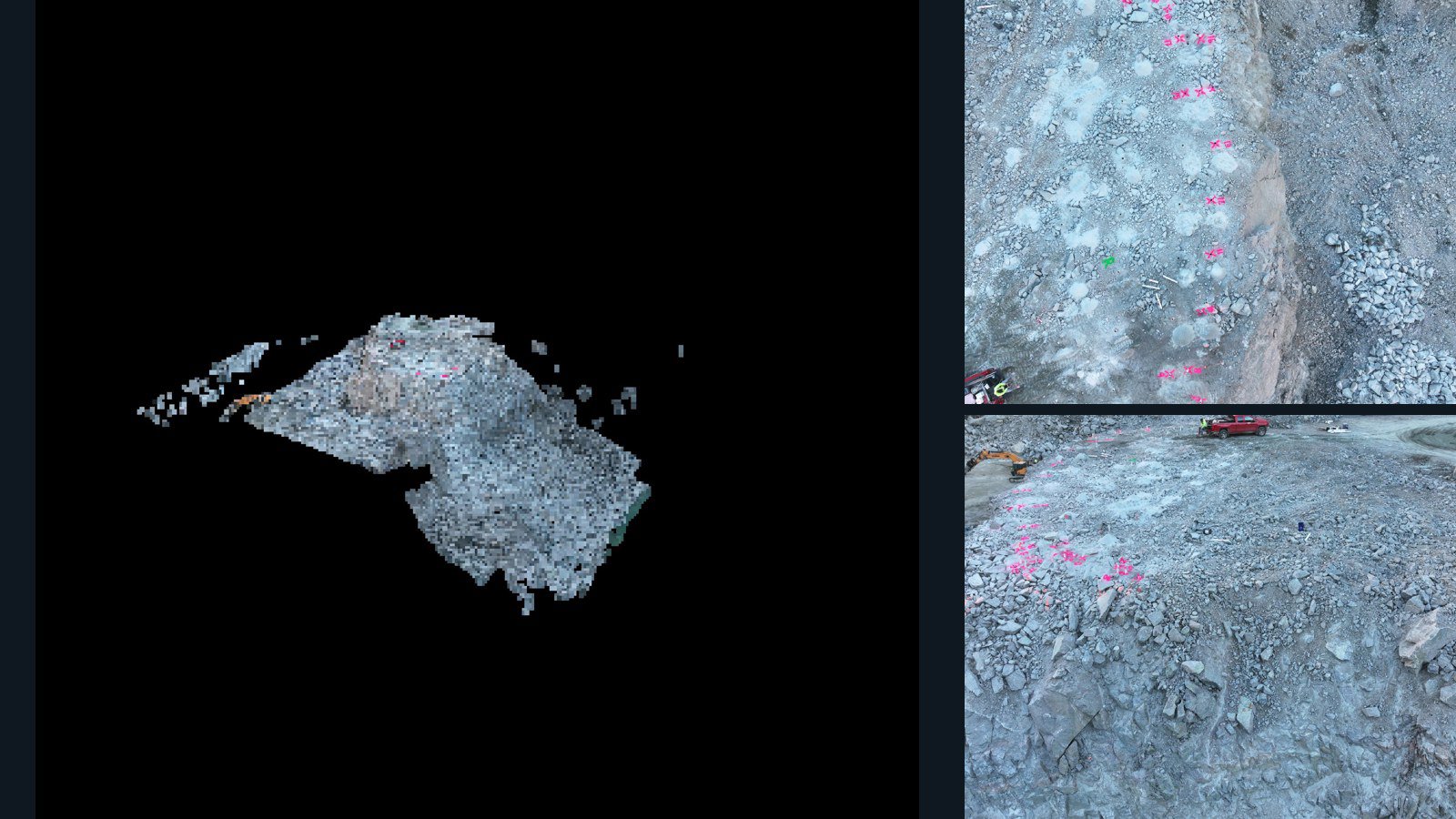
Sault Ste. Marie drone capture · AD-8E8A0F36

27 original drone photos from Sault Ste. Marie, Ontario, Canada, paired with metadata, project bundles, camera data, 3d meshes, point clouds. Evaluate a sample and request a commercial license for AI training or spatial analysis.

3D model-focused

Photos Orthomosaics Point clouds 3D meshes
27 photos422.4 MB Selected-file sample
United States / Massachusetts

Boston drone capture · AD-F3842ABE

127 original drone photos from Boston, Massachusetts, United States, paired with metadata, project bundles, camera data, 3d meshes, point clouds. Evaluate a sample and request a commercial license for AI training or spatial analysis.

3D model-focused

Photos Orthomosaics Point clouds 3D meshes
127 photos2.9 GB AerialAlign Selected-file sample
Hong Kong / 新界

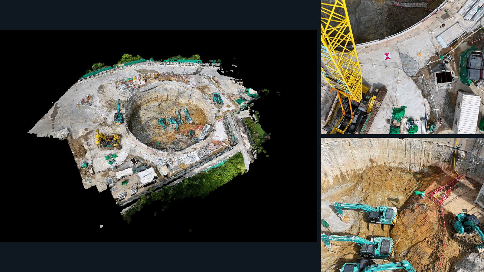
新界 drone capture · AD-86C9A97E

262 original drone photos from 新界, Hong Kong, paired with metadata, project bundles, camera data, 3d meshes, point clouds. Evaluate a sample and request a commercial license for AI training or spatial analysis.

3D model-focused

Photos Orthomosaics Point clouds 3D meshes
262 photos2.7 GB Selected-file sample
United States / Michigan

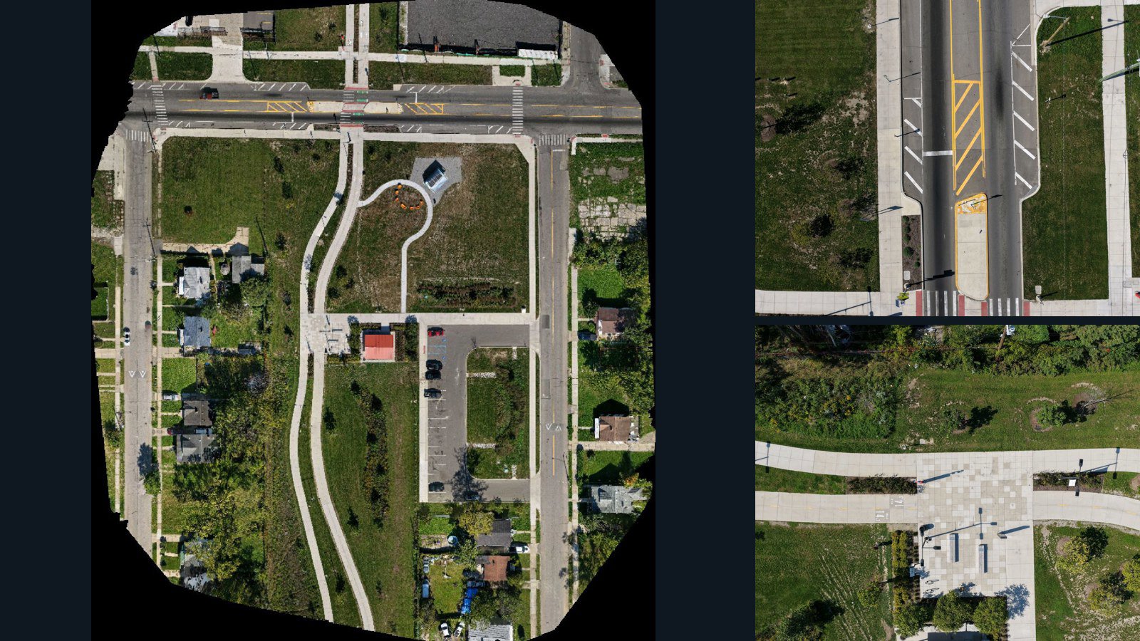
Detroit drone capture · AD-5FEF6307

153 original drone photos from Detroit, Michigan, United States, paired with metadata, project bundles, camera data, point clouds, orthomosaics. Evaluate a sample and request a commercial license for AI training or spatial analysis.

Ortho-focused

Photos Orthomosaics Point clouds Camera data
153 photos4.2 GB AerialAlign Selected-file sample
Curaçao / region

Willemstad drone capture · AD-39DD1ABB

31 original drone photos from Willemstad, region, Curaçao, paired with metadata, project bundles, camera data, 3d meshes, point clouds. Evaluate a sample and request a commercial license for AI training or spatial analysis.

3D model-focused

Photos Orthomosaics Point clouds 3D meshes
31 photos488.5 MB Selected-file sample
Seychelles / region

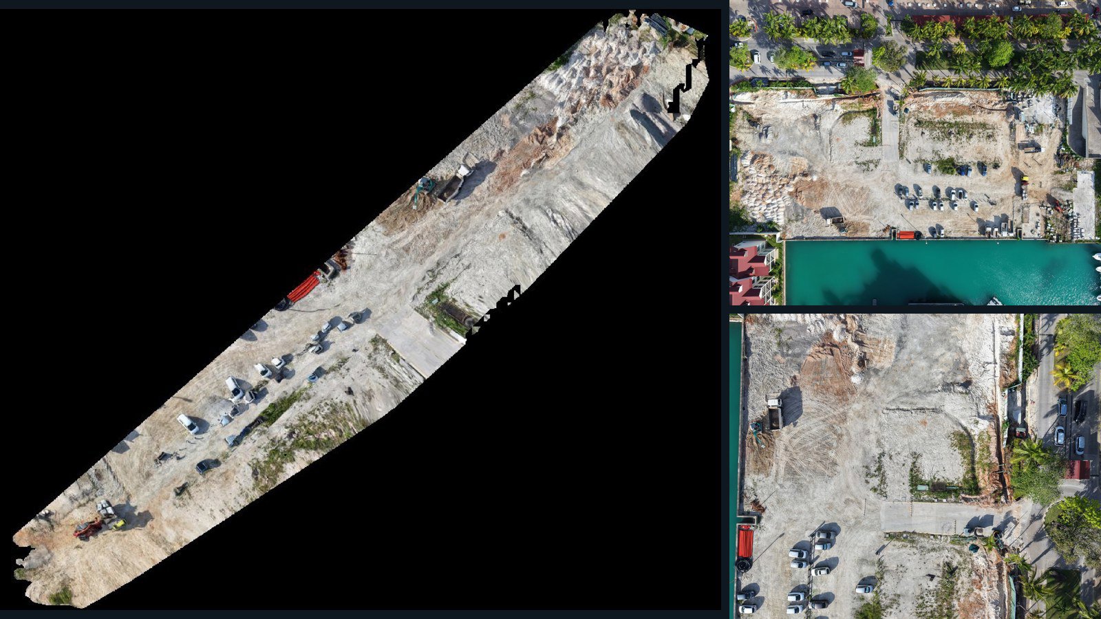
region drone capture · AD-A55113D4

7 original drone photos from region, Seychelles, paired with metadata, project bundles, camera data, point clouds, orthomosaics. Evaluate a sample and request a commercial license for AI training or spatial analysis.

Ortho-focused

Photos Orthomosaics Point clouds Camera data
7 photos250.4 MB Selected-file sample
United States / West Virginia

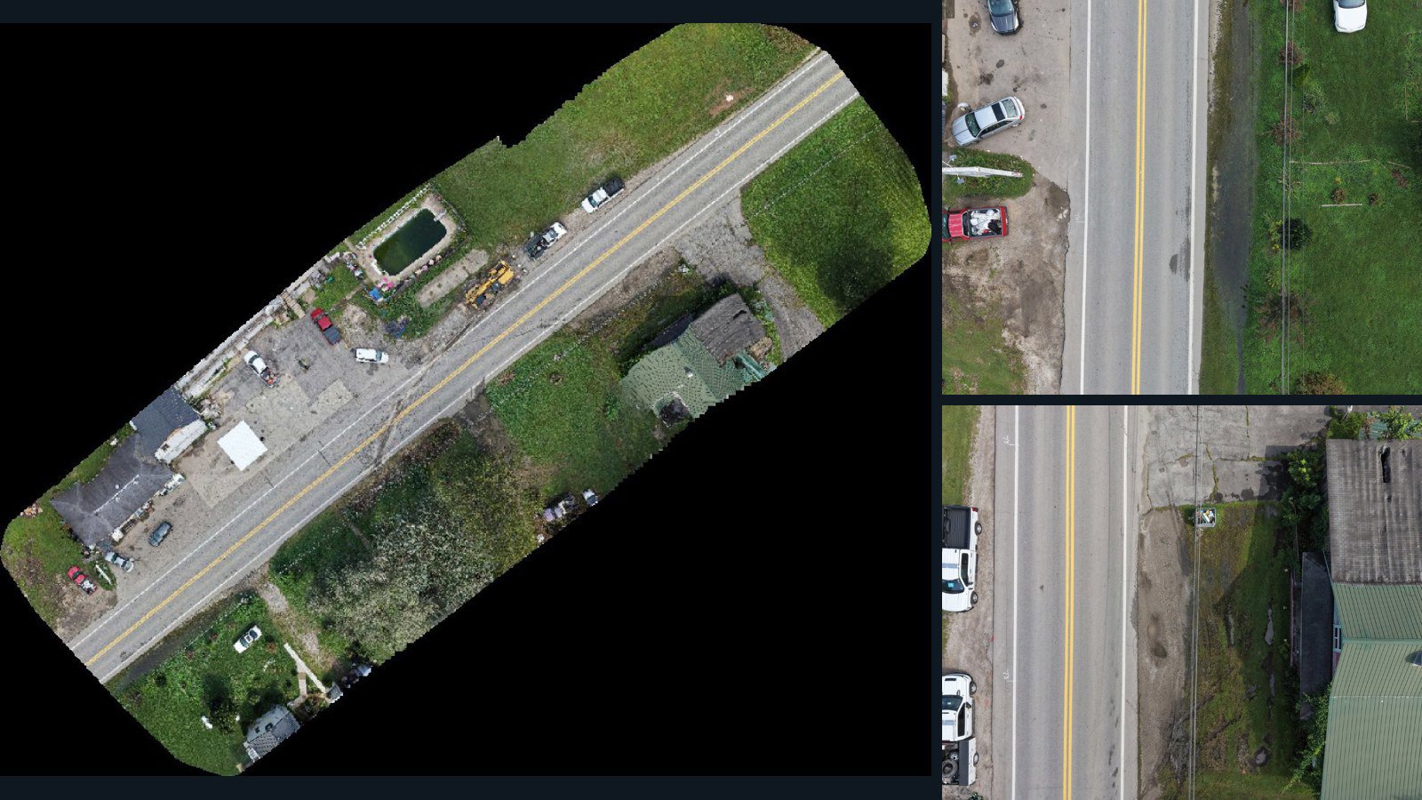
Glenwood drone capture · AD-55C1651C

61 original drone photos from Glenwood, West Virginia, United States, paired with metadata, project bundles, camera data, point clouds, orthomosaics. Evaluate a sample and request a commercial license for AI training or spatial analysis.

Ortho-focused

Photos Orthomosaics Point clouds Camera data
61 photos1.5 GB Selected-file sample
Germany / Thüringen

Bad Langensalza drone capture · AD-2AF31EA1

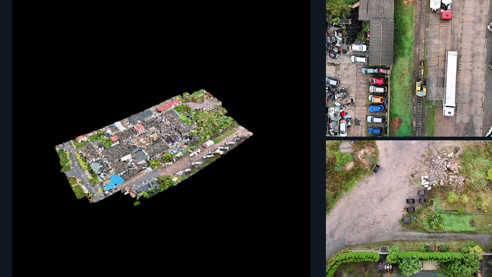
97 original drone photos from Bad Langensalza, Thüringen, Germany, paired with metadata, project bundles, camera data, 3d meshes, point clouds. Evaluate a sample and request a commercial license for AI training or spatial analysis.

3D model-focused

Photos Orthomosaics Point clouds 3D meshes
97 photos1.1 GB Selected-file sample
Denmark / region

Frederikssund drone capture · AD-4E113279

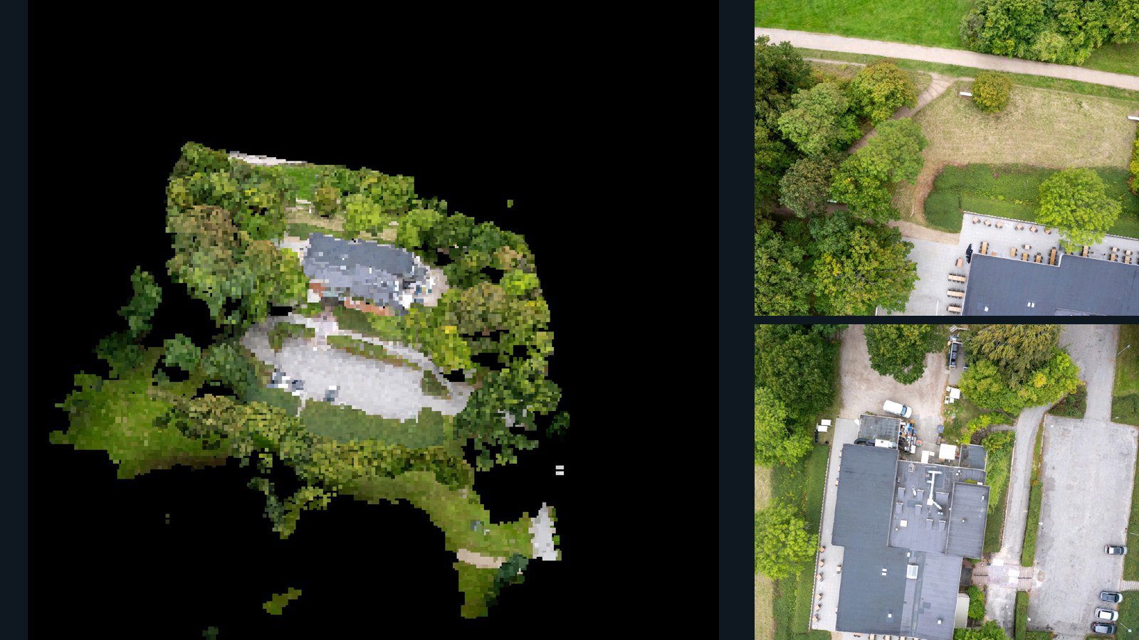
33 original drone photos from Frederikssund, region, Denmark, paired with metadata, project bundles, camera data, 3d meshes, point clouds. Evaluate a sample and request a commercial license for AI training or spatial analysis.

3D model-focused

Photos Orthomosaics Point clouds 3D meshes
33 photos635.7 MB Selected-file sample

Have a specific dataset in mind?

Share your geography, formats, intended use and timeline.

Request data ↗