BROWSE BY ENVIRONMENT

Construction drone datasets

Find aerial observations of construction sites and work in progress. Compare capture dates and available media before choosing scenes for visual understanding or project analysis. A single capture does not imply a time series.

33 datasets

Scene-level inventories
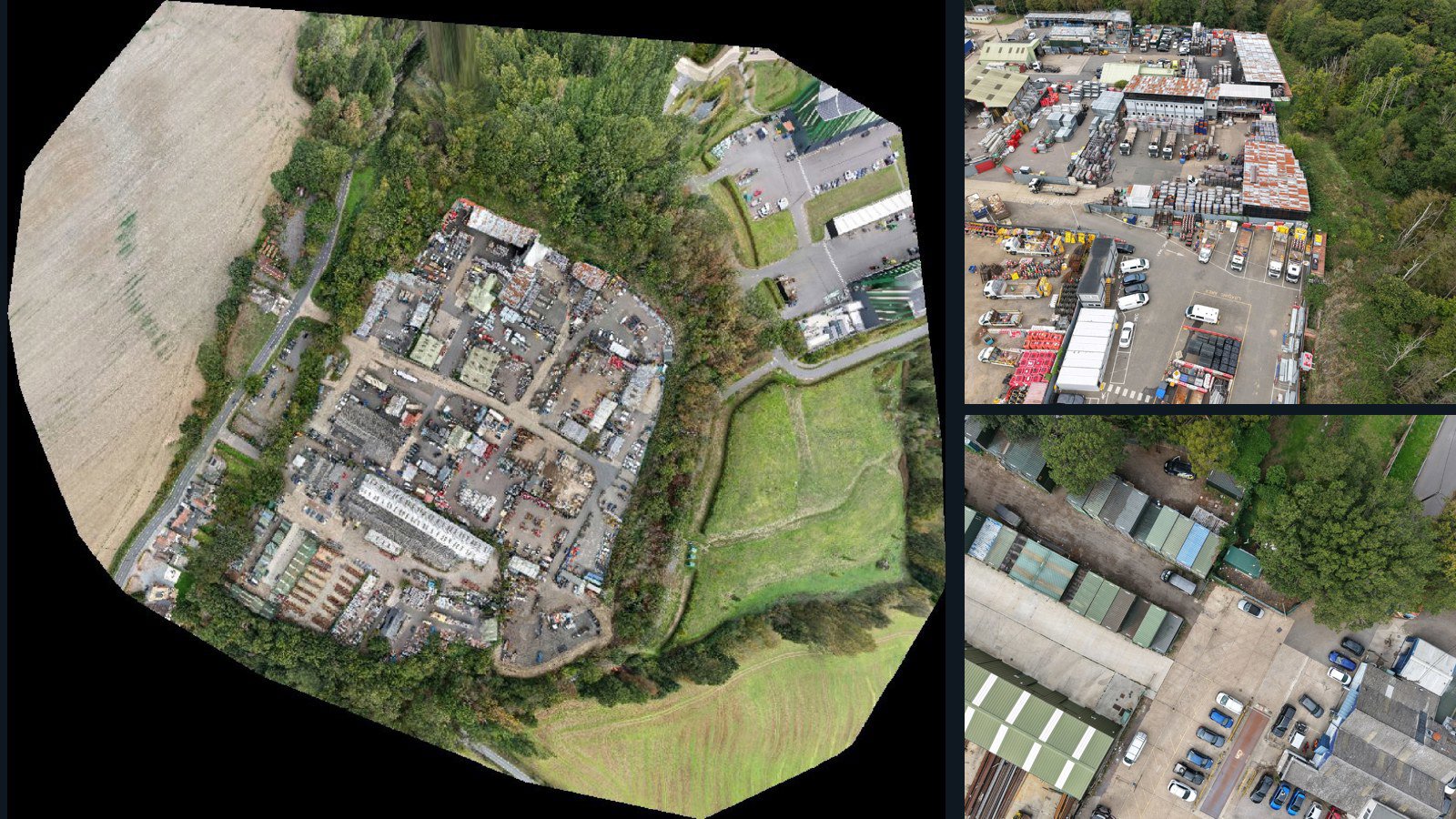
United Kingdom / England

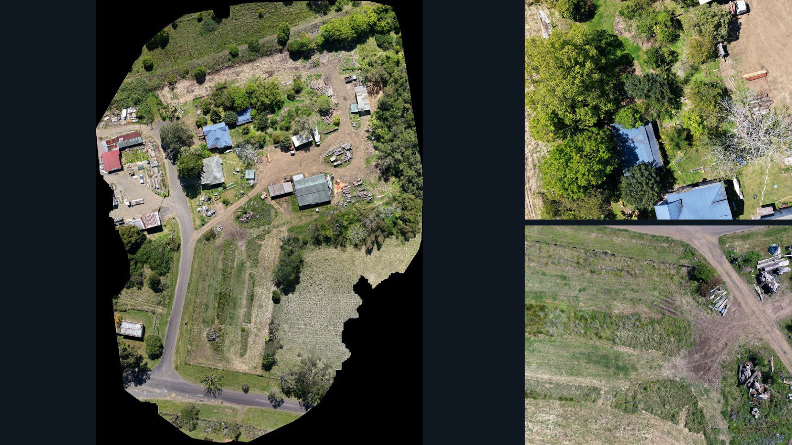
West Hanningfield drone capture · AD-70A841AB

366 original drone photos from West Hanningfield, England, United Kingdom, paired with metadata, project bundles, camera data, point clouds, orthomosaics. Evaluate a sample and request a commercial license for AI training or spatial analysis.

Ortho-focused

Photos Orthomosaics Point clouds Camera data
366 photos6.9 GB Selected-file sample
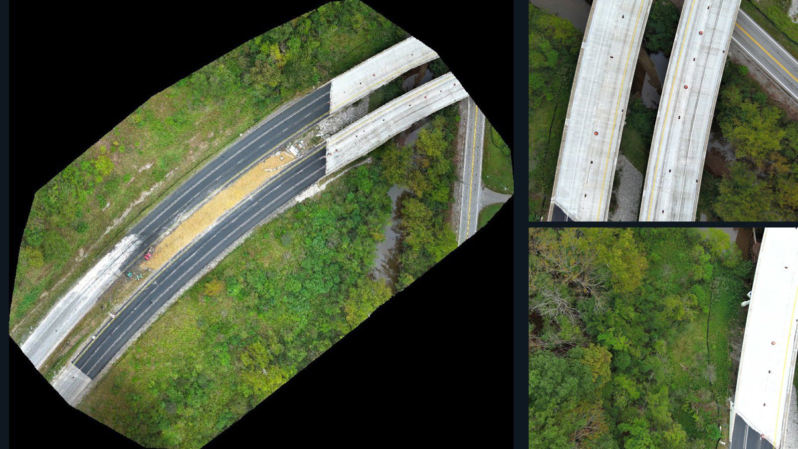
Hong Kong / New Territories

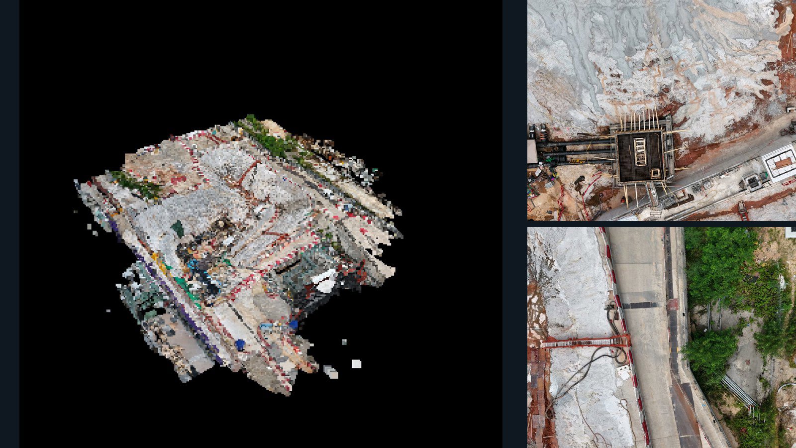
New Territories drone capture · AD-15BB9620

176 original drone photos from New Territories, Hong Kong, paired with metadata, project bundles, camera data, 3d meshes, point clouds. Evaluate a sample and request a commercial license for AI training or spatial analysis.

3D model-focused

Photos Orthomosaics Point clouds 3D meshes
176 photos2 GB Selected-file sample
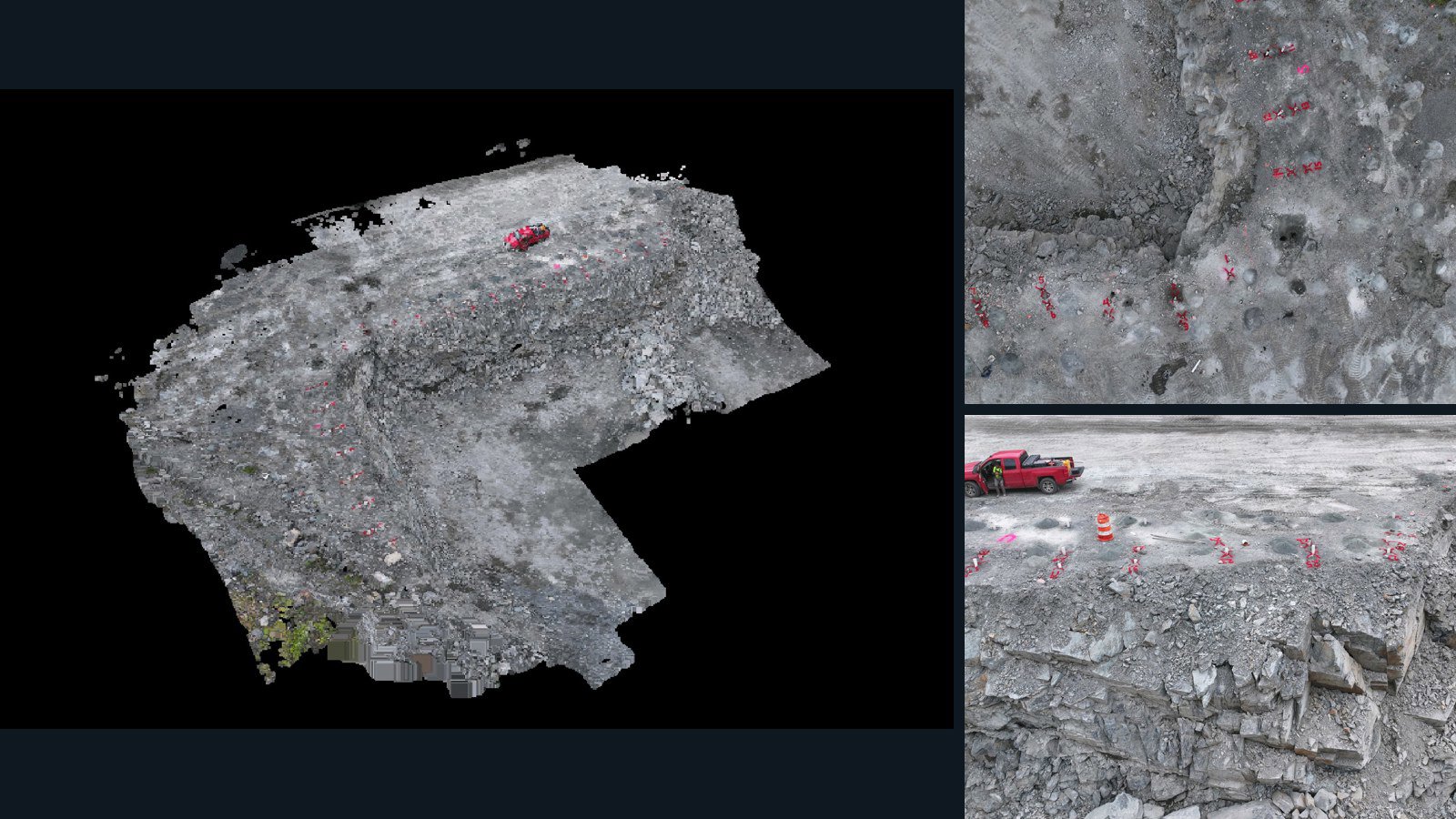
United States / West Virginia

Elkview drone capture · AD-D371948A

80 original drone photos from Elkview, West Virginia, United States, paired with metadata, project bundles, camera data, point clouds, orthomosaics. Evaluate a sample and request a commercial license for AI training or spatial analysis.

Ortho-focused

Photos Orthomosaics Point clouds Camera data
80 photos1.8 GB Selected-file sample
Australia / New South Wales

North Lismore drone capture · AD-53307CF4

285 original drone photos from North Lismore, New South Wales, Australia, paired with metadata, project bundles, camera data, point clouds, orthomosaics. Evaluate a sample and request a commercial license for AI training or spatial analysis.

Ortho-focused

Photos Orthomosaics Point clouds Camera data
285 photos5.7 GB Selected-file sample
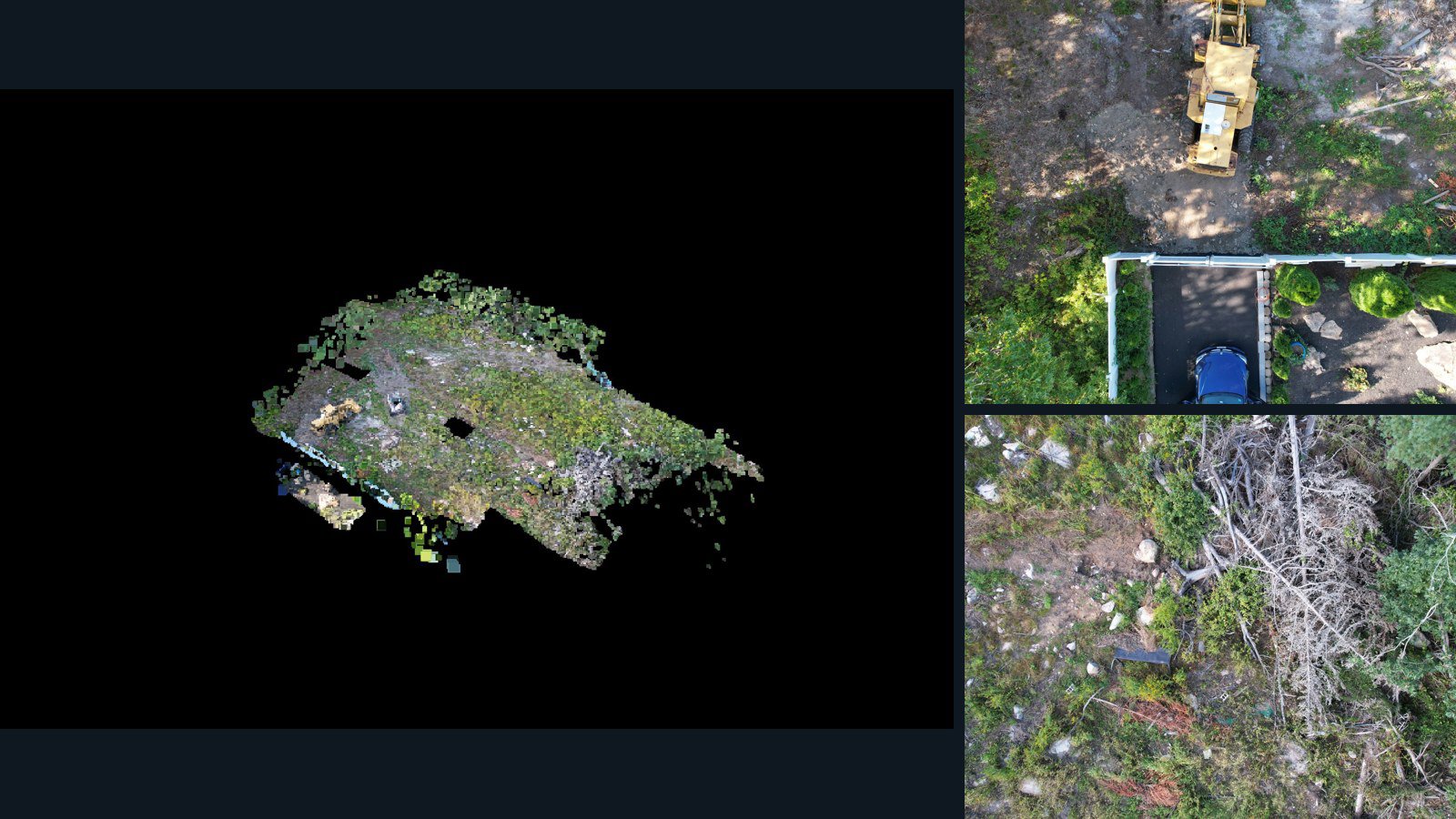
Canada / Québec

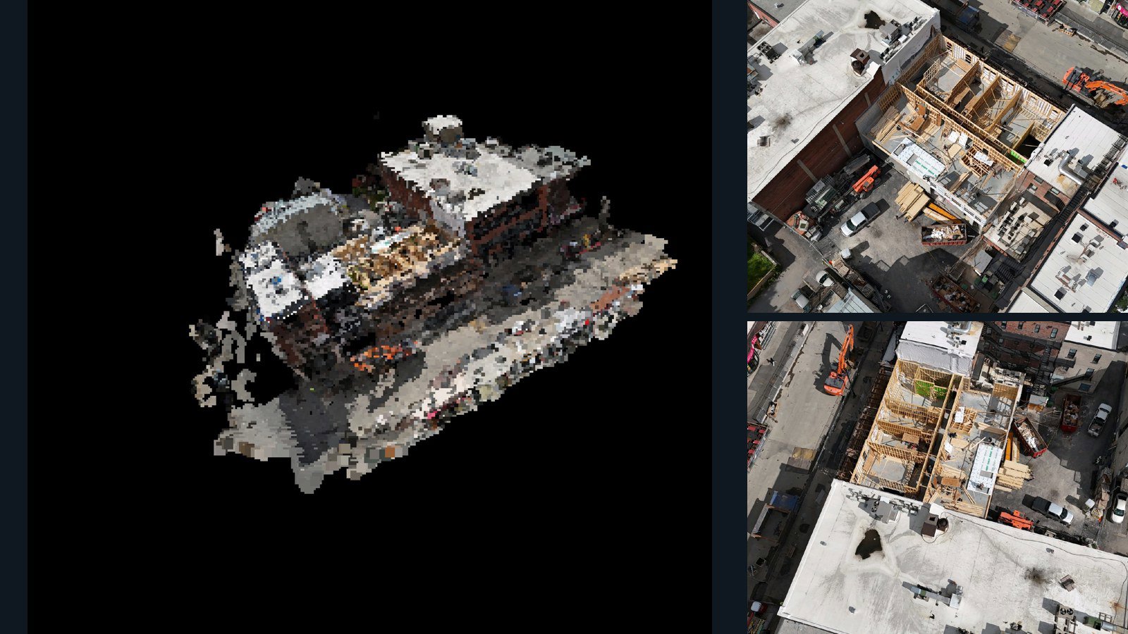
Montréal drone capture · AD-076A2F8E

15 original drone photos from Montréal, Québec, Canada, paired with metadata, project bundles, camera data, 3d meshes, point clouds. Evaluate a sample and request a commercial license for AI training or spatial analysis.

3D model-focused

Photos Orthomosaics Point clouds 3D meshes
15 photos199.5 MB Selected-file sample
Netherlands / Zuid-Holland

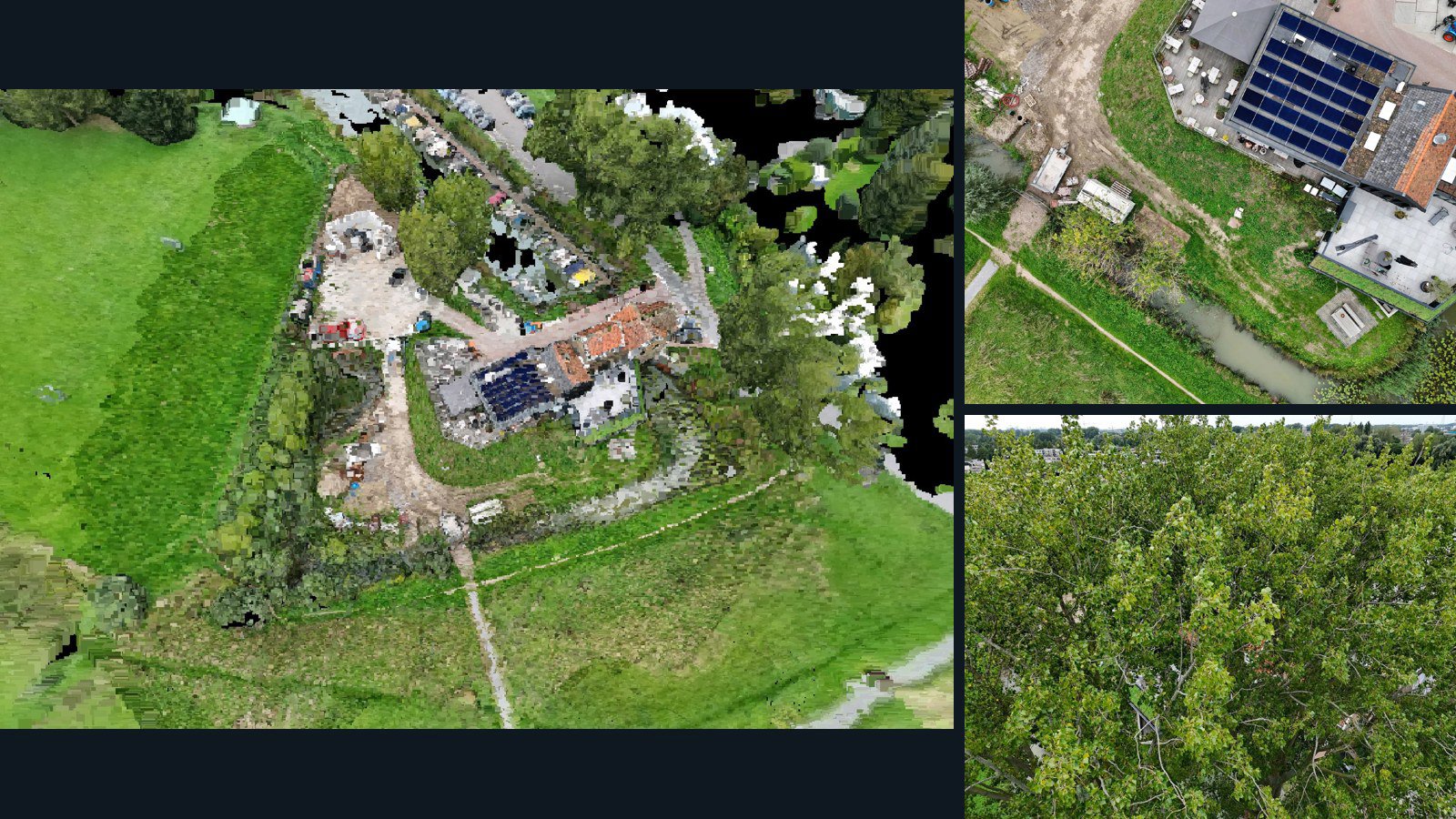
Dordrecht drone capture · AD-45F93359

93 original drone photos from Dordrecht, Zuid-Holland, Netherlands, paired with metadata, project bundles, camera data, 3d meshes, point clouds. Evaluate a sample and request a commercial license for AI training or spatial analysis.

3D model-focused

Photos Orthomosaics Point clouds 3D meshes
93 photos1.9 GB Selected-file sample
United States / Rhode Island

Cumberland drone capture · AD-681DF745

118 original drone photos from Cumberland, Rhode Island, United States, paired with metadata, project bundles, camera data, 3d meshes, point clouds. Evaluate a sample and request a commercial license for AI training or spatial analysis.

3D model-focused

Photos Orthomosaics Point clouds 3D meshes
118 photos2.2 GB Selected-file sample
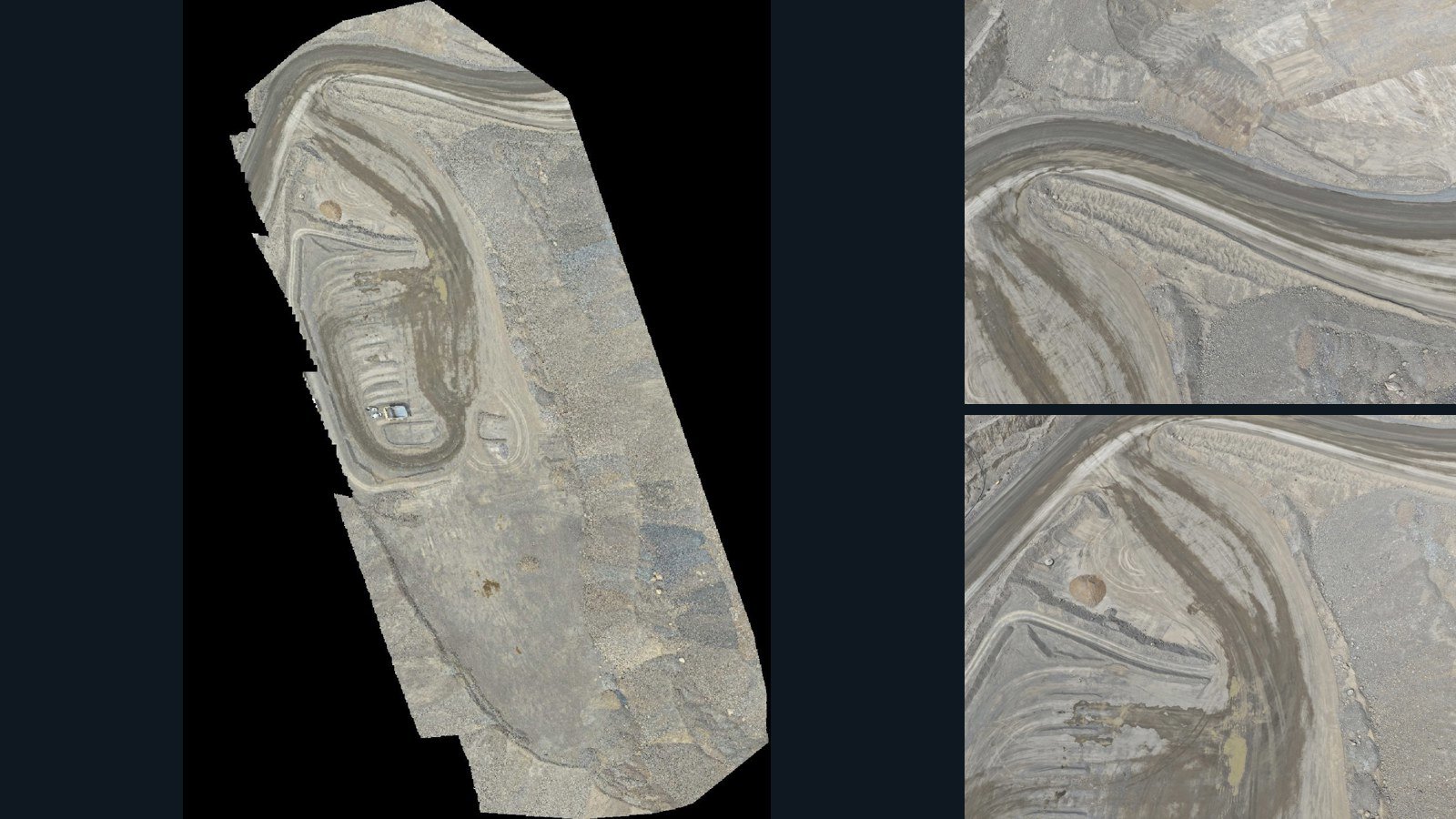
United States / Nevada

Valmy drone capture · AD-5F8CE05F

29 original drone photos from Valmy, Nevada, United States, paired with metadata, project bundles, camera data, point clouds, orthomosaics. Evaluate a sample and request a commercial license for AI training or spatial analysis.

Ortho-focused

Photos Orthomosaics Point clouds Camera data
29 photos3 GB Selected-file sample
United States / Massachusetts

Hingham drone capture · AD-125E8DE4

32 original drone photos from Hingham, Massachusetts, United States, paired with metadata, project bundles, camera data, point clouds, orthomosaics. Evaluate a sample and request a commercial license for AI training or spatial analysis.

Ortho-focused

Photos Orthomosaics Point clouds Camera data
32 photos504.7 MB AerialAlign Selected-file sample

Have a specific dataset in mind?

Share your geography, formats, intended use and timeline.

Request data ↗