BROWSE BY ENVIRONMENT

Construction drone datasets

Find aerial observations of construction sites and work in progress. Compare capture dates and available media before choosing scenes for visual understanding or project analysis. A single capture does not imply a time series.

33 datasets

Scene-level inventories
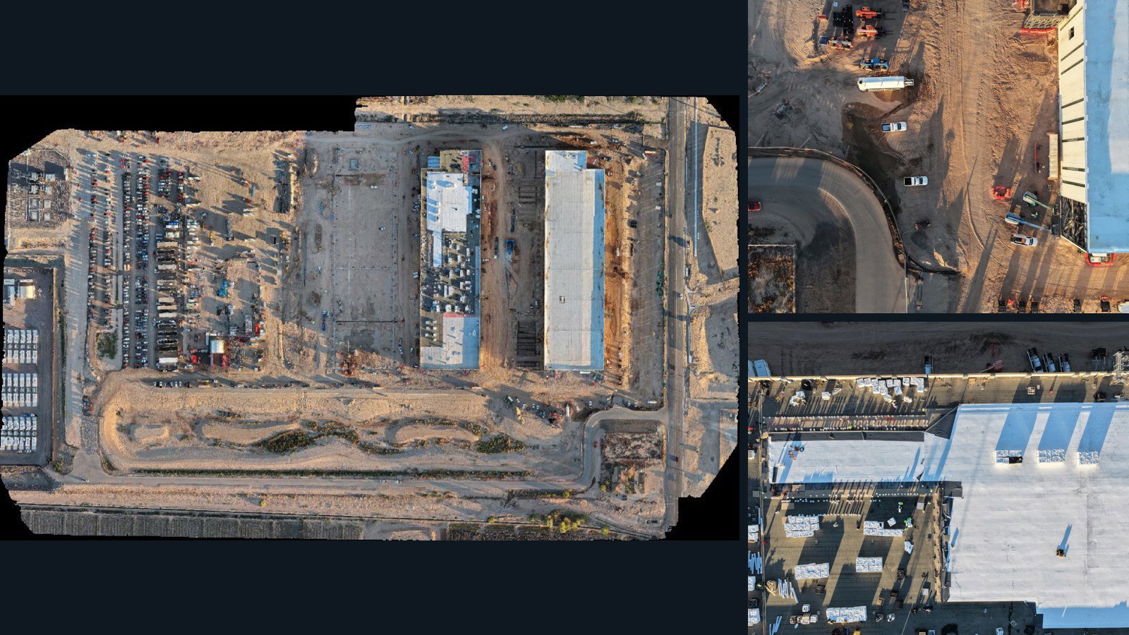
Unknown

Unreviewed drone capture · AD-D319BBB0

462 original drone photos from an unspecified location, paired with metadata, project bundles, camera data, point clouds, orthomosaics. Evaluate a sample and request a commercial license for AI training or spatial analysis.

Ortho-focused

Photos Orthomosaics Point clouds Camera data
462 photos17.2 GB AerialAlign Selected-file sample
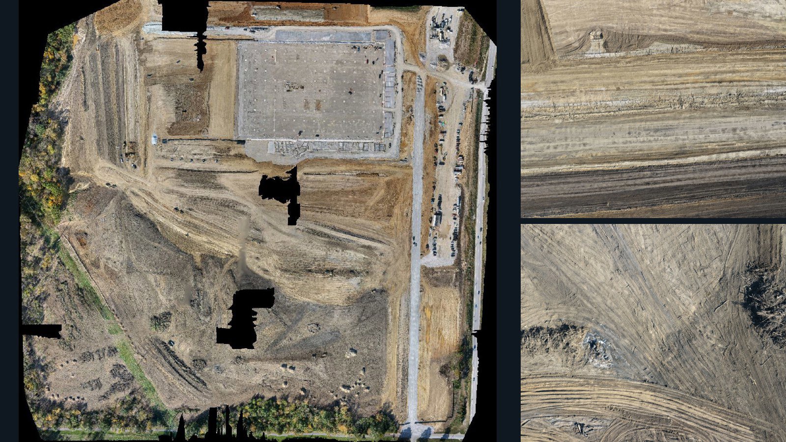
Unknown

Unreviewed drone capture · AD-905FAAFA

154 original drone photos from an unspecified location, paired with metadata, project bundles, camera data, point clouds, orthomosaics. Evaluate a sample and request a commercial license for AI training or spatial analysis.

Ortho-focused

Photos Orthomosaics Point clouds Camera data
154 photos13.9 GB AerialAlign Selected-file sample
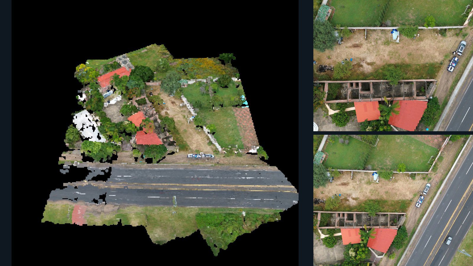
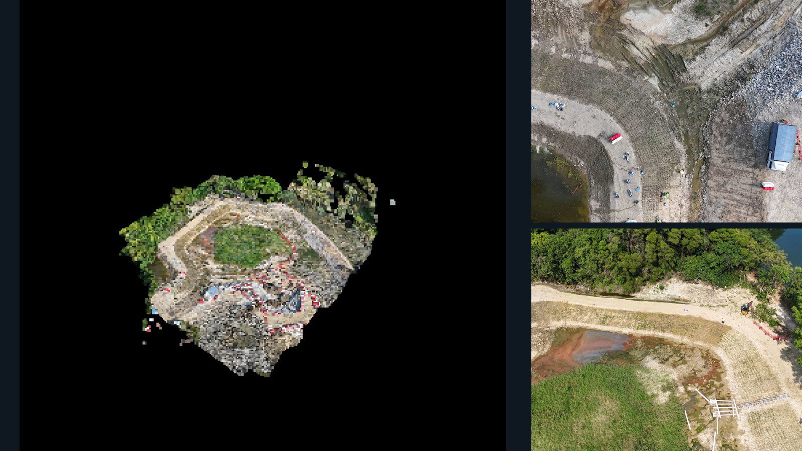
Hong Kong / New Territories

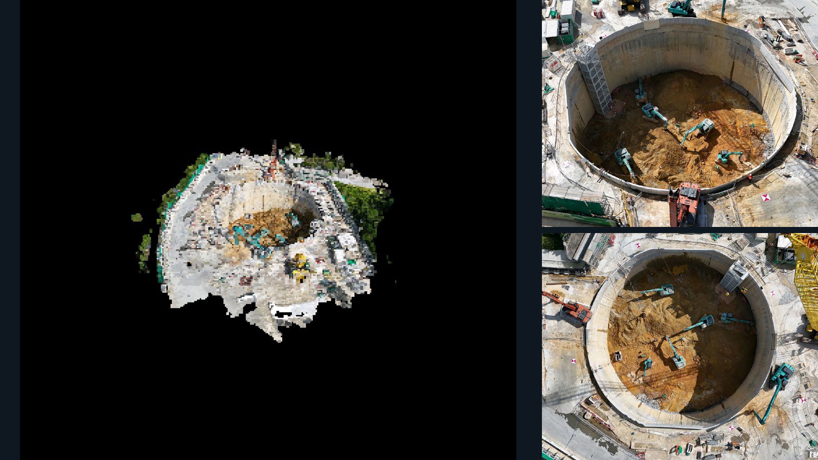
New Territories drone capture · AD-E450965D

89 original drone photos from New Territories, Hong Kong, paired with metadata, project bundles, camera data, 3d meshes, point clouds. Evaluate a sample and request a commercial license for AI training or spatial analysis.

3D model-focused

Photos Orthomosaics Point clouds 3D meshes
89 photos1006.3 MB Selected-file sample
United States / Georgia

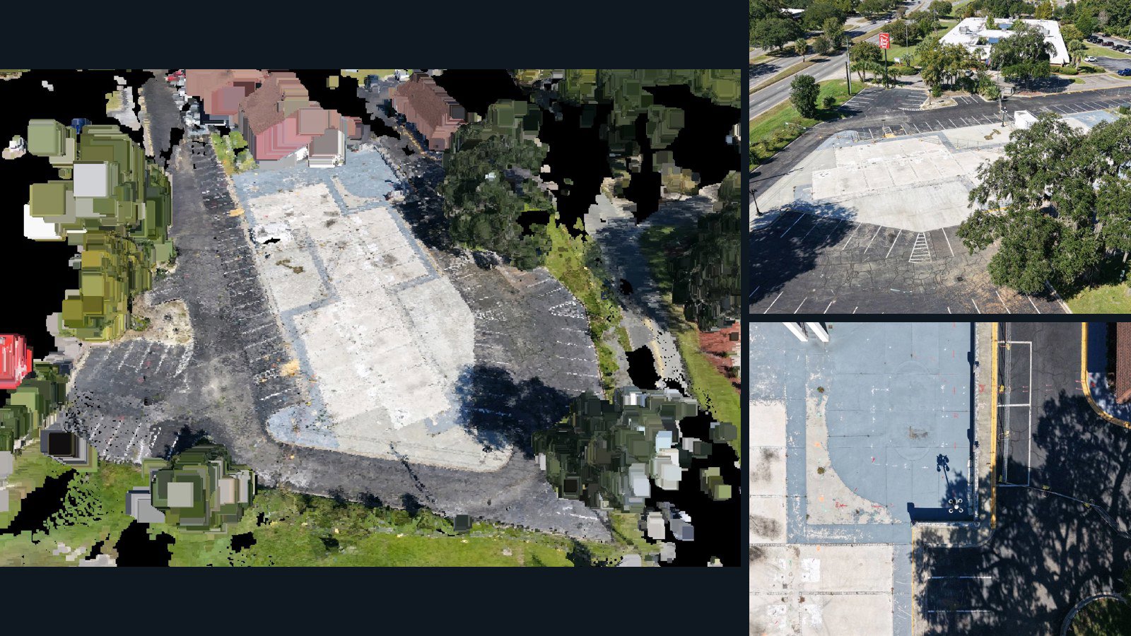
Savannah drone capture · AD-E00A8CAF

42 original drone photos from Savannah, Georgia, United States, paired with metadata, project bundles, camera data, 3d meshes, point clouds. Evaluate a sample and request a commercial license for AI training or spatial analysis.

3D model-focused

Photos Orthomosaics Point clouds 3D meshes
42 photos951.6 MB Selected-file sample
Mexico / Guanajuato

Los Álamos drone capture · AD-4129426F

25 original drone photos from Los Álamos, Guanajuato, Mexico, paired with metadata, project bundles, camera data, 3d meshes, point clouds. Evaluate a sample and request a commercial license for AI training or spatial analysis.

3D model-focused

Photos Orthomosaics Point clouds 3D meshes
25 photos265.5 MB Selected-file sample
United States / Georgia

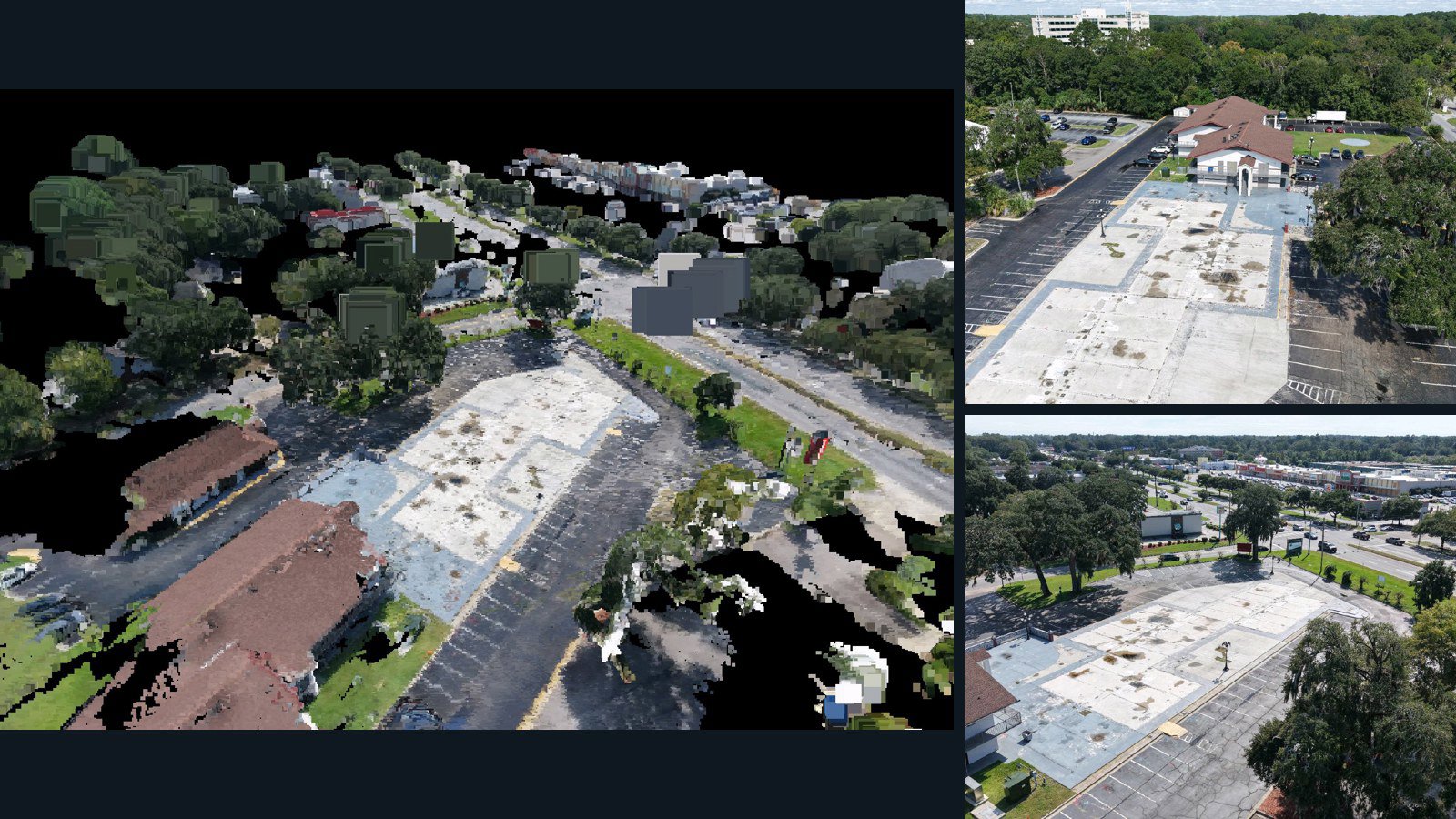
Savannah drone capture · AD-5BF96918

52 original drone photos from Savannah, Georgia, United States, paired with metadata, project bundles, camera data, 3d meshes, point clouds. Evaluate a sample and request a commercial license for AI training or spatial analysis.

3D model-focused

Photos Orthomosaics Point clouds 3D meshes
52 photos1.4 GB Selected-file sample
United States / Arkansas

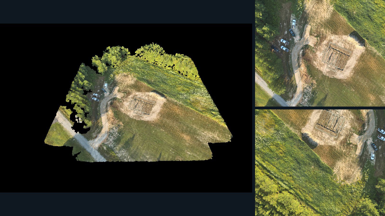
Monticello drone capture · AD-0DFE9C02

100 original drone photos from Monticello, Arkansas, United States, paired with metadata, project bundles, camera data, 3d meshes, point clouds. Evaluate a sample and request a commercial license for AI training or spatial analysis.

3D model-focused

Photos Orthomosaics Point clouds 3D meshes
100 photos1.2 GB Selected-file sample
United States / Arkansas

Monticello drone capture · AD-4C2B9659

13 original drone photos from Monticello, Arkansas, United States, paired with metadata, project bundles, camera data, 3d meshes, point clouds. Evaluate a sample and request a commercial license for AI training or spatial analysis.

3D model-focused

Photos Orthomosaics Point clouds 3D meshes
13 photos275.4 MB Selected-file sample
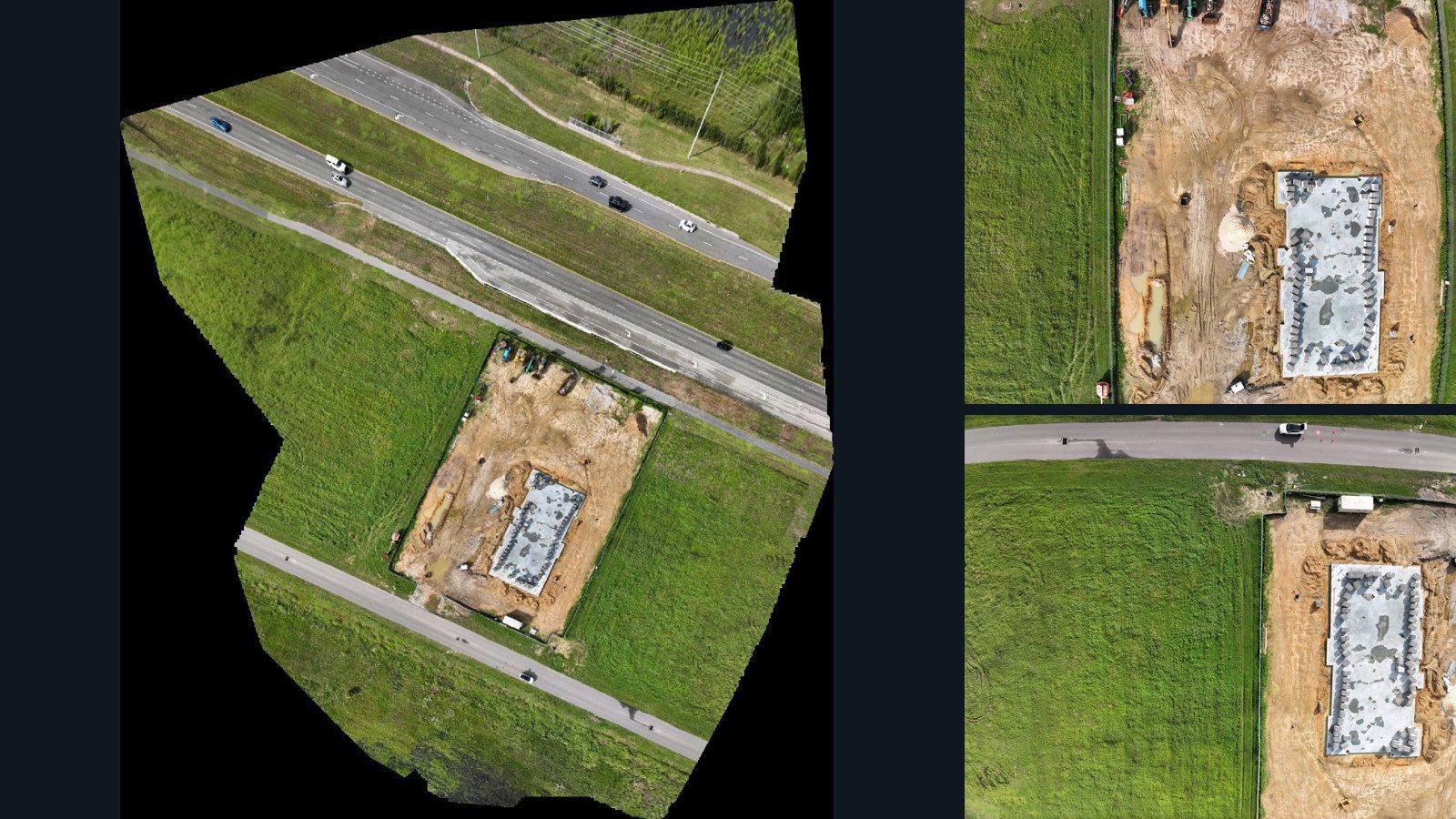
United States / Florida

Wesley Chapel drone capture · AD-8B0BAB38

46 original drone photos from Wesley Chapel, Florida, United States, paired with metadata, project bundles, camera data, point clouds, orthomosaics. Evaluate a sample and request a commercial license for AI training or spatial analysis.

Ortho-focused

Photos Orthomosaics Point clouds Camera data
46 photos822.4 MB Selected-file sample
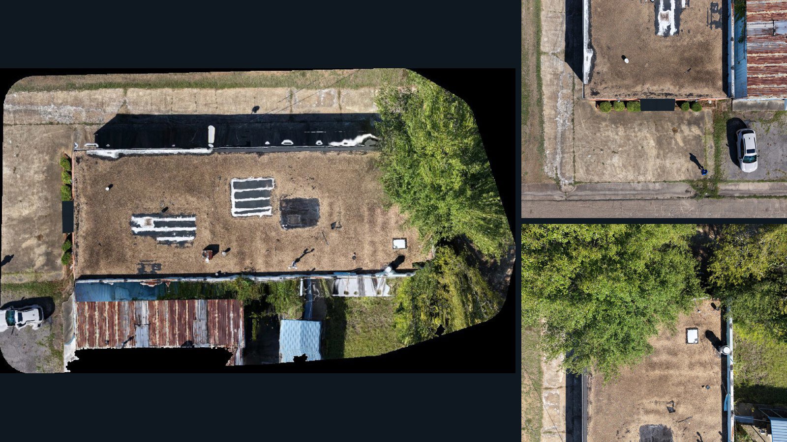
United States / Mississippi

Jackson drone capture · AD-7FB48A11

9 original drone photos from Jackson, Mississippi, United States, paired with metadata, project bundles, camera data, point clouds, orthomosaics. Evaluate a sample and request a commercial license for AI training or spatial analysis.

Ortho-focused

Photos Orthomosaics Point clouds Camera data
9 photos221.1 MB AerialAlign Selected-file sample
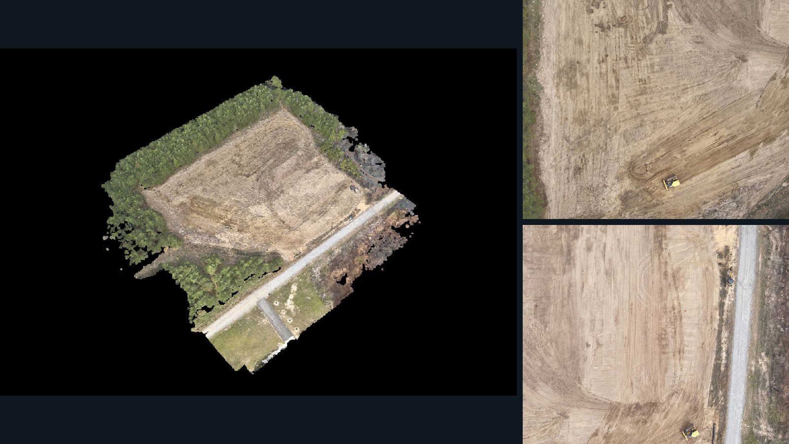
Hong Kong / New Territories

New Territories drone capture · AD-548FB20F

200 original drone photos from New Territories, Hong Kong, paired with metadata, project bundles, camera data, 3d meshes, point clouds. Evaluate a sample and request a commercial license for AI training or spatial analysis.

3D model-focused

Photos Orthomosaics Point clouds 3D meshes
200 photos2.4 GB Selected-file sample
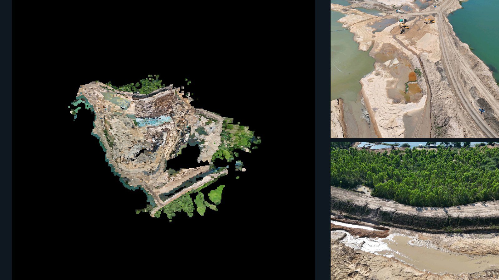
Thailand / Buri Ram

Mafueang drone capture · AD-8B4FE085

60 original drone photos from Mafueang, Buri Ram, Thailand, paired with metadata, project bundles, camera data, 3d meshes, point clouds. Evaluate a sample and request a commercial license for AI training or spatial analysis.

3D model-focused

Photos Orthomosaics Point clouds 3D meshes
60 photos1.4 GB Selected-file sample

Have a specific dataset in mind?

Share your geography, formats, intended use and timeline.

Request data ↗