BROWSE BY ENVIRONMENT

Built environment drone datasets

Explore drone captures of buildings, developed land and the spaces between them. Inspect source views and available reconstructed products for computer vision, scene understanding and spatial analysis. Coverage and geometry quality vary by capture.

126 datasets

Scene-level inventories
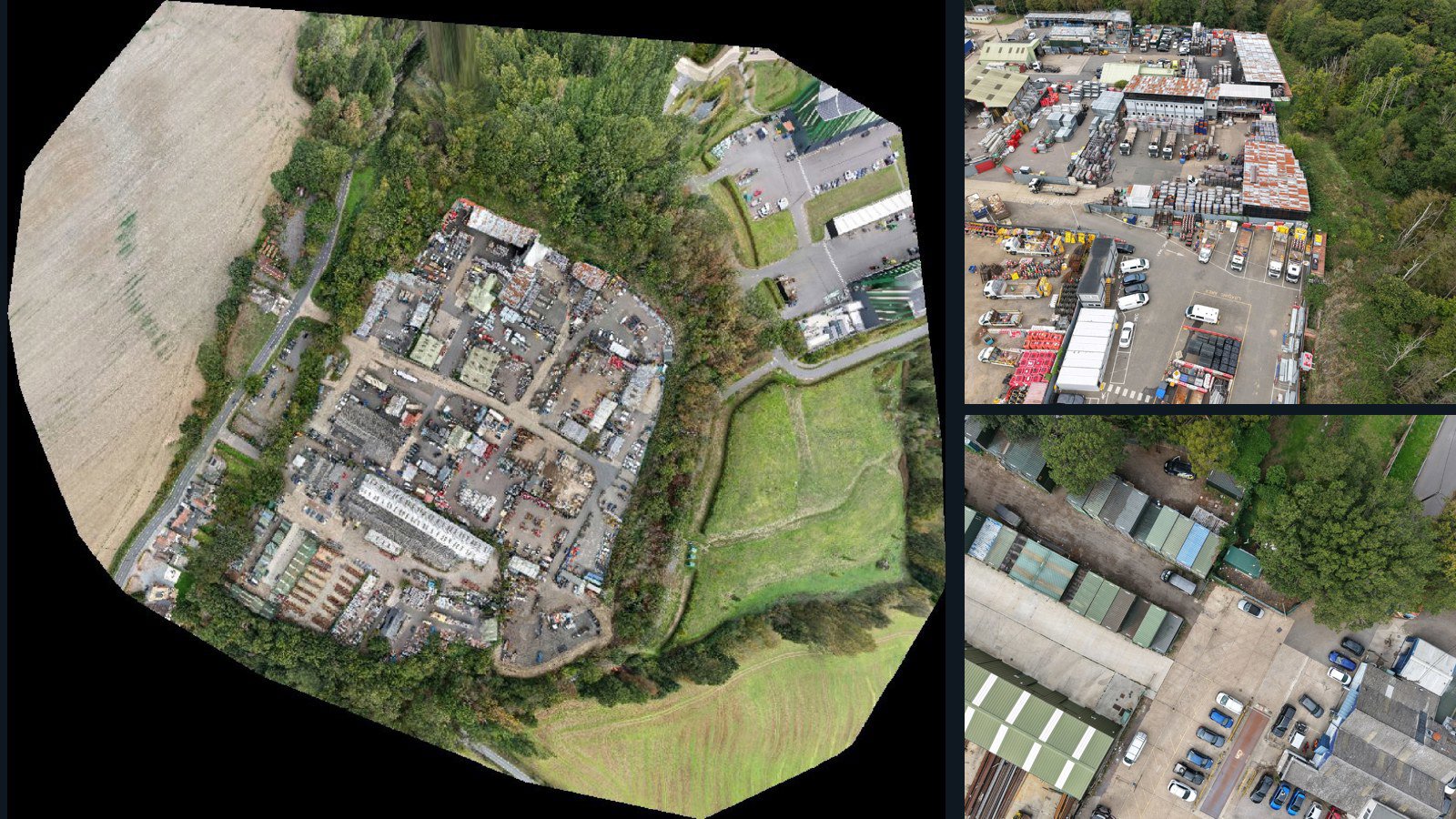
United Kingdom / England

West Hanningfield drone capture · AD-70A841AB

366 original drone photos from West Hanningfield, England, United Kingdom, paired with metadata, project bundles, camera data, point clouds, orthomosaics. Evaluate a sample and request a commercial license for AI training or spatial analysis.

Ortho-focused

Photos Orthomosaics Point clouds Camera data
366 photos6.9 GB Selected-file sample
Belgium / Vlaanderen

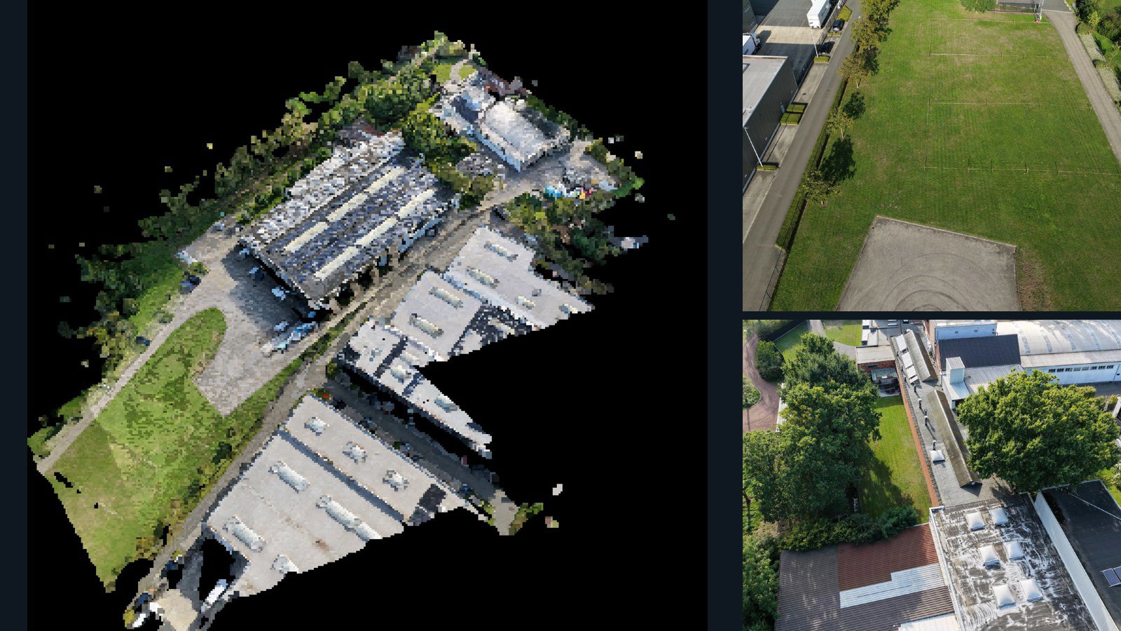
Bornem drone capture · AD-7765003A

100 original drone photos from Bornem, Vlaanderen, Belgium, paired with metadata, project bundles, camera data, 3d meshes, point clouds. Evaluate a sample and request a commercial license for AI training or spatial analysis.

3D model-focused

Photos Orthomosaics Point clouds 3D meshes
100 photos2.5 GB Selected-file sample
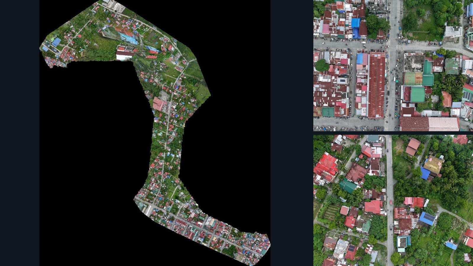
Philippines / Mimaropa

Pinamalayan drone capture · AD-0BB6C354

80 original drone photos from Pinamalayan, Mimaropa, Philippines, paired with metadata, project bundles, camera data, point clouds, orthomosaics. Evaluate a sample and request a commercial license for AI training or spatial analysis.

Ortho-focused

Photos Orthomosaics Point clouds Camera data
80 photos3.5 GB Selected-file sample
New Zealand / Auckland

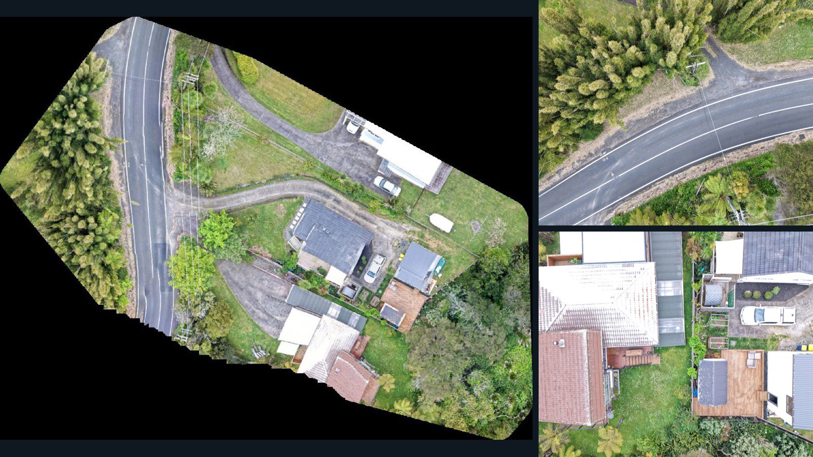
Auckland drone capture · AD-D37E5CE1

31 original drone photos from Auckland, New Zealand, paired with metadata, project bundles, camera data, point clouds, orthomosaics. Evaluate a sample and request a commercial license for AI training or spatial analysis.

Ortho-focused

Photos Orthomosaics Point clouds Camera data
31 photos854.7 MB Selected-file sample
Canada / Ontario

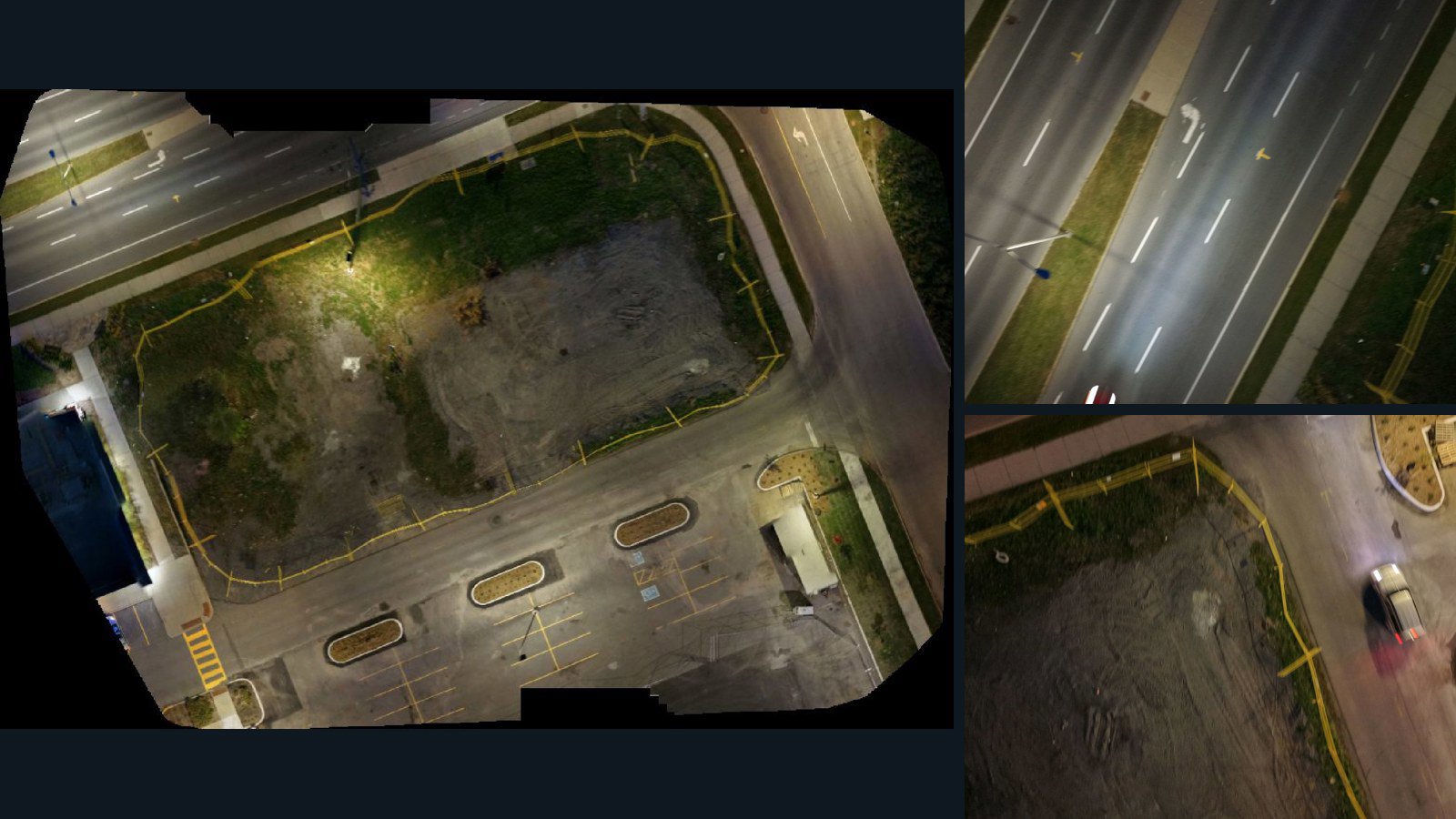
Ottawa drone capture · AD-F762DBCE

32 original drone photos from Ottawa, Ontario, Canada, paired with metadata, project bundles, camera data, point clouds, orthomosaics. Evaluate a sample and request a commercial license for AI training or spatial analysis.

Ortho-focused

Photos Orthomosaics Point clouds Camera data
32 photos656.5 MB Selected-file sample
Nepal / Gandaki Province

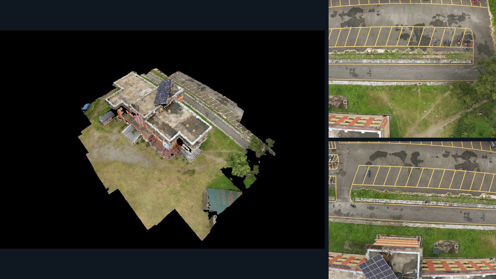
Pokhara drone capture · AD-F917B364

23 original drone photos from Pokhara, Gandaki Province, Nepal, paired with metadata, project bundles, camera data, 3d meshes, point clouds. Evaluate a sample and request a commercial license for AI training or spatial analysis.

3D model-focused

Photos Orthomosaics Point clouds 3D meshes
23 photos165.8 MB Selected-file sample
United States / Kansas

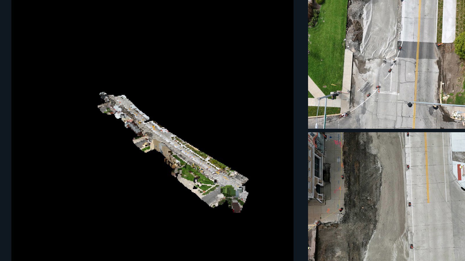
Iola drone capture · AD-FE738899

52 original drone photos from Iola, Kansas, United States, paired with metadata, project bundles, camera data, 3d meshes, point clouds. Evaluate a sample and request a commercial license for AI training or spatial analysis.

3D model-focused

Photos Orthomosaics Point clouds 3D meshes
52 photos626 MB Selected-file sample
Netherlands / Friesland

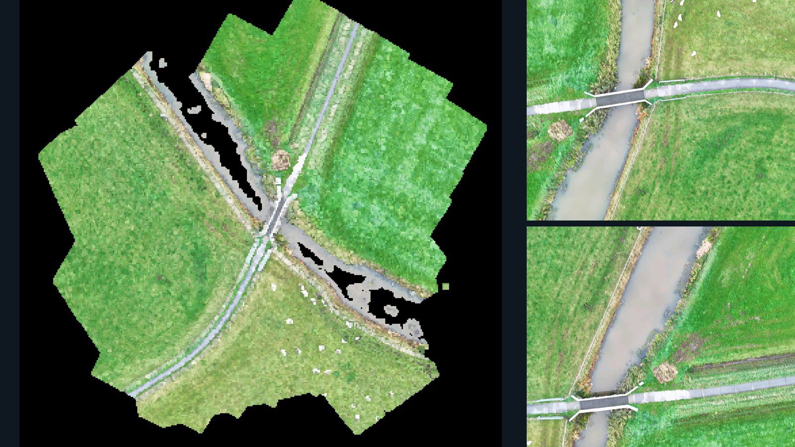
Oosterwolde drone capture · AD-A649955D

22 original drone photos from Oosterwolde, Friesland, Netherlands, paired with metadata, project bundles, camera data, 3d meshes, point clouds. Evaluate a sample and request a commercial license for AI training or spatial analysis.

3D model-focused

Photos Orthomosaics Point clouds 3D meshes
22 photos301.9 MB Selected-file sample
Senegal / Dakar Region

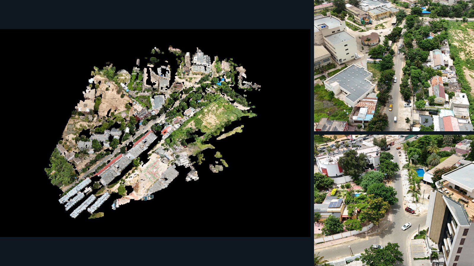
Dakar drone capture · AD-90F6C51E

25 original drone photos from Dakar, Dakar Region, Senegal, paired with metadata, project bundles, camera data, 3d meshes, point clouds. Evaluate a sample and request a commercial license for AI training or spatial analysis.

3D model-focused

Photos Orthomosaics Point clouds 3D meshes
25 photos570.6 MB Selected-file sample
Canada / Ontario

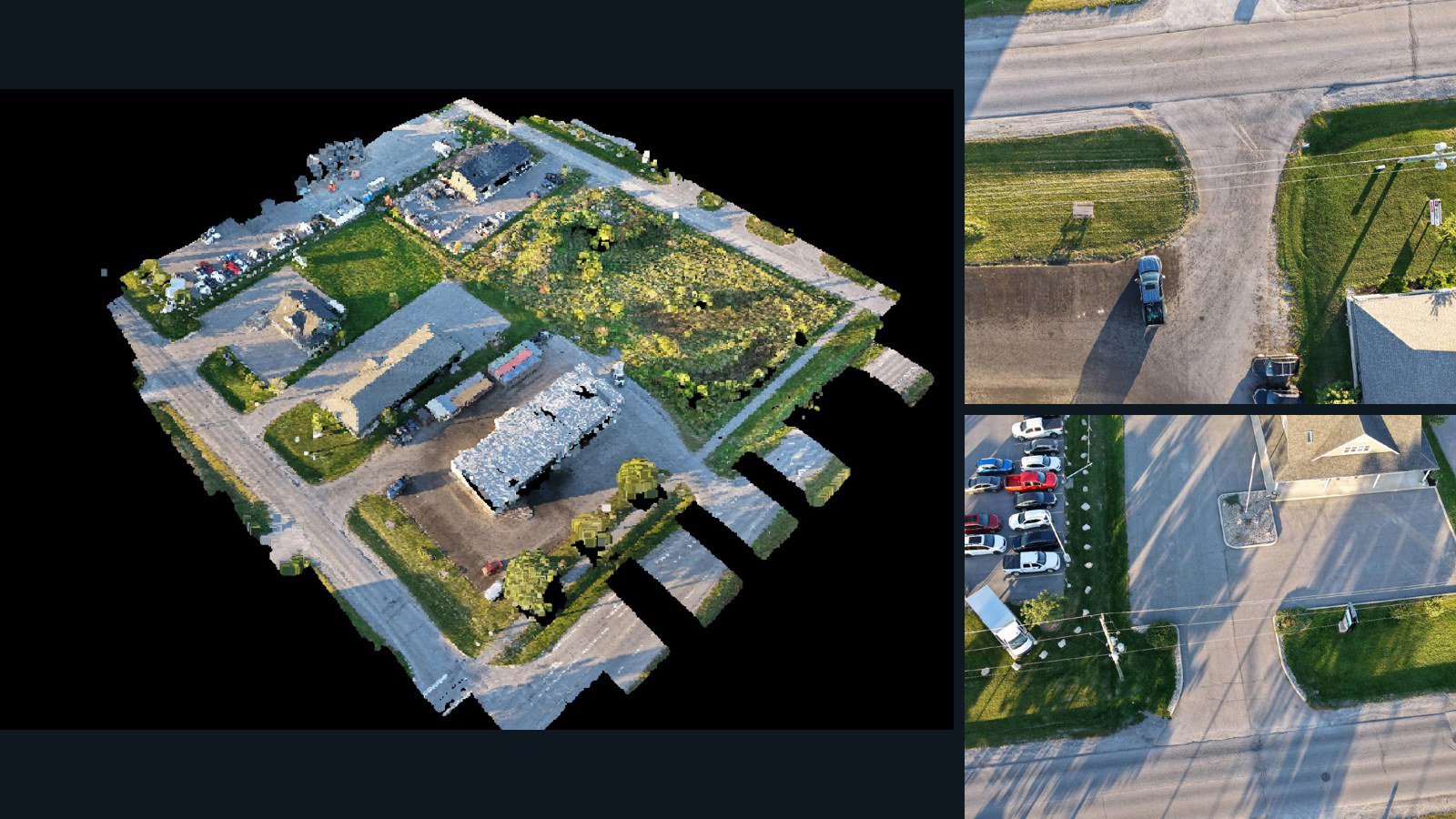
Carleton Place drone capture · AD-9221A4E4

99 original drone photos from Carleton Place, Ontario, Canada, paired with metadata, project bundles, camera data, 3d meshes, point clouds. Evaluate a sample and request a commercial license for AI training or spatial analysis.

3D model-focused

Photos Orthomosaics Point clouds 3D meshes
99 photos2.4 GB Selected-file sample
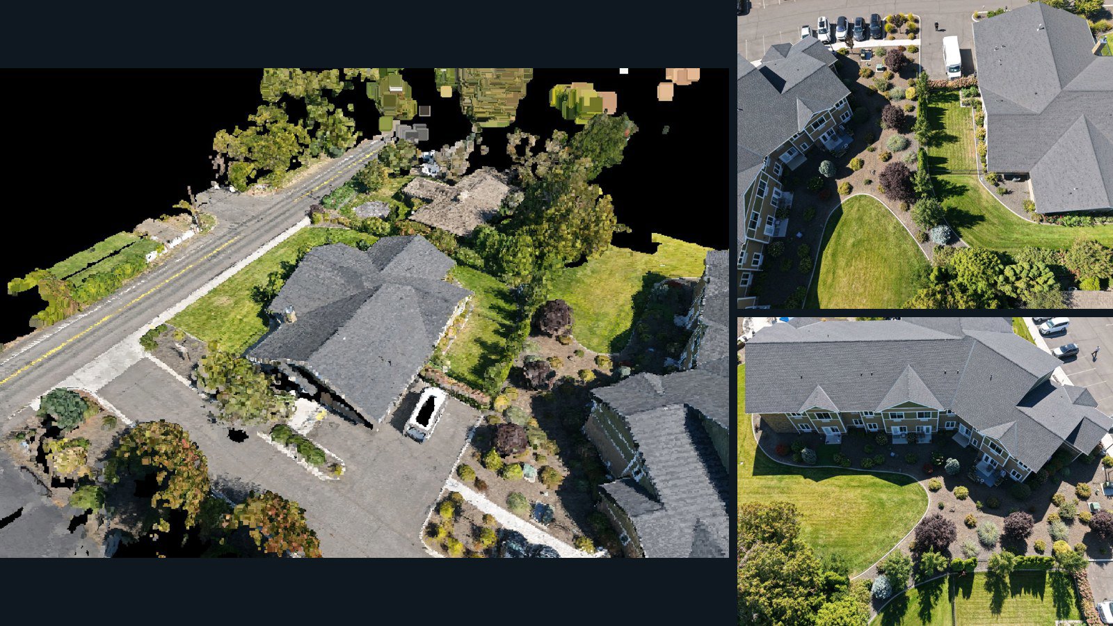
United States / Washington

Yakima drone capture · AD-7EDBFD75

63 original drone photos from Yakima, Washington, United States, paired with metadata, project bundles, camera data, 3d meshes, point clouds. Evaluate a sample and request a commercial license for AI training or spatial analysis.

3D model-focused

Photos Orthomosaics Point clouds 3D meshes
63 photos1.9 GB Selected-file sample
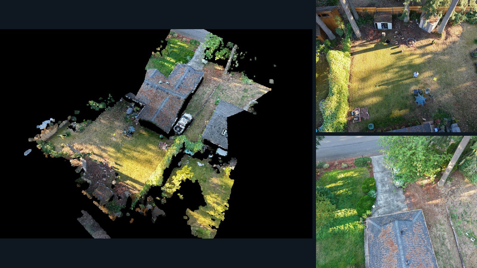
United States / Washington

Olympia drone capture · AD-51E3E032

13 original drone photos from Olympia, Washington, United States, paired with metadata, project bundles, camera data, 3d meshes, point clouds. Evaluate a sample and request a commercial license for AI training or spatial analysis.

3D model-focused

Photos Orthomosaics Point clouds 3D meshes
13 photos293.2 MB Selected-file sample

Have a specific dataset in mind?

Share your geography, formats, intended use and timeline.

Request data ↗