BROWSE BY ENVIRONMENT

Built environment drone datasets

Explore drone captures of buildings, developed land and the spaces between them. Inspect source views and available reconstructed products for computer vision, scene understanding and spatial analysis. Coverage and geometry quality vary by capture.

126 datasets

Scene-level inventories
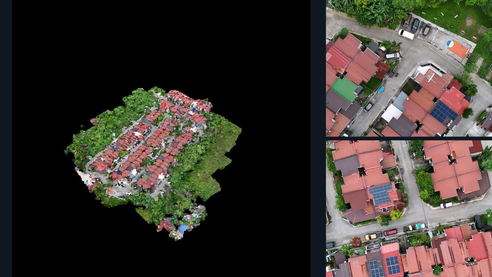
Philippines / Calabarzon

General Trias drone capture · AD-07C6E17B

88 original drone photos from General Trias, Calabarzon, Philippines, paired with metadata, project bundles, camera data, 3d meshes, point clouds. Evaluate a sample and request a commercial license for AI training or spatial analysis.

3D model-focused

Photos Orthomosaics Point clouds 3D meshes
88 photos2.7 GB Selected-file sample
Philippines / Northern Mindanao

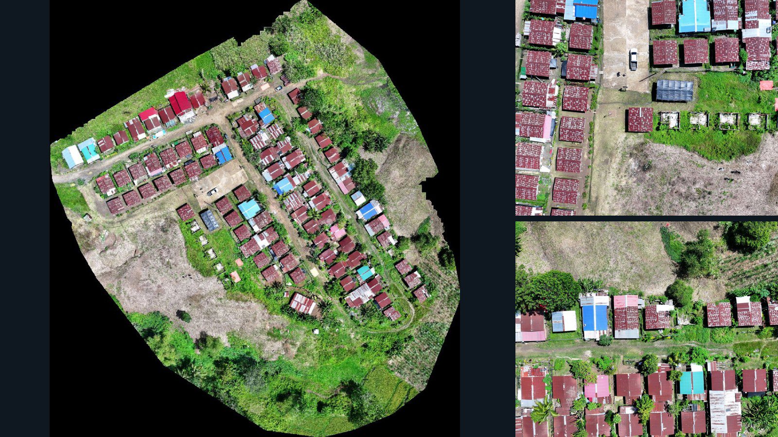
Quezon drone capture · AD-A3802322

75 original drone photos from Quezon, Northern Mindanao, Philippines, paired with metadata, project bundles, camera data, point clouds, orthomosaics. Evaluate a sample and request a commercial license for AI training or spatial analysis.

Ortho-focused

Photos Orthomosaics Point clouds Camera data
75 photos1.6 GB Selected-file sample
United States / California

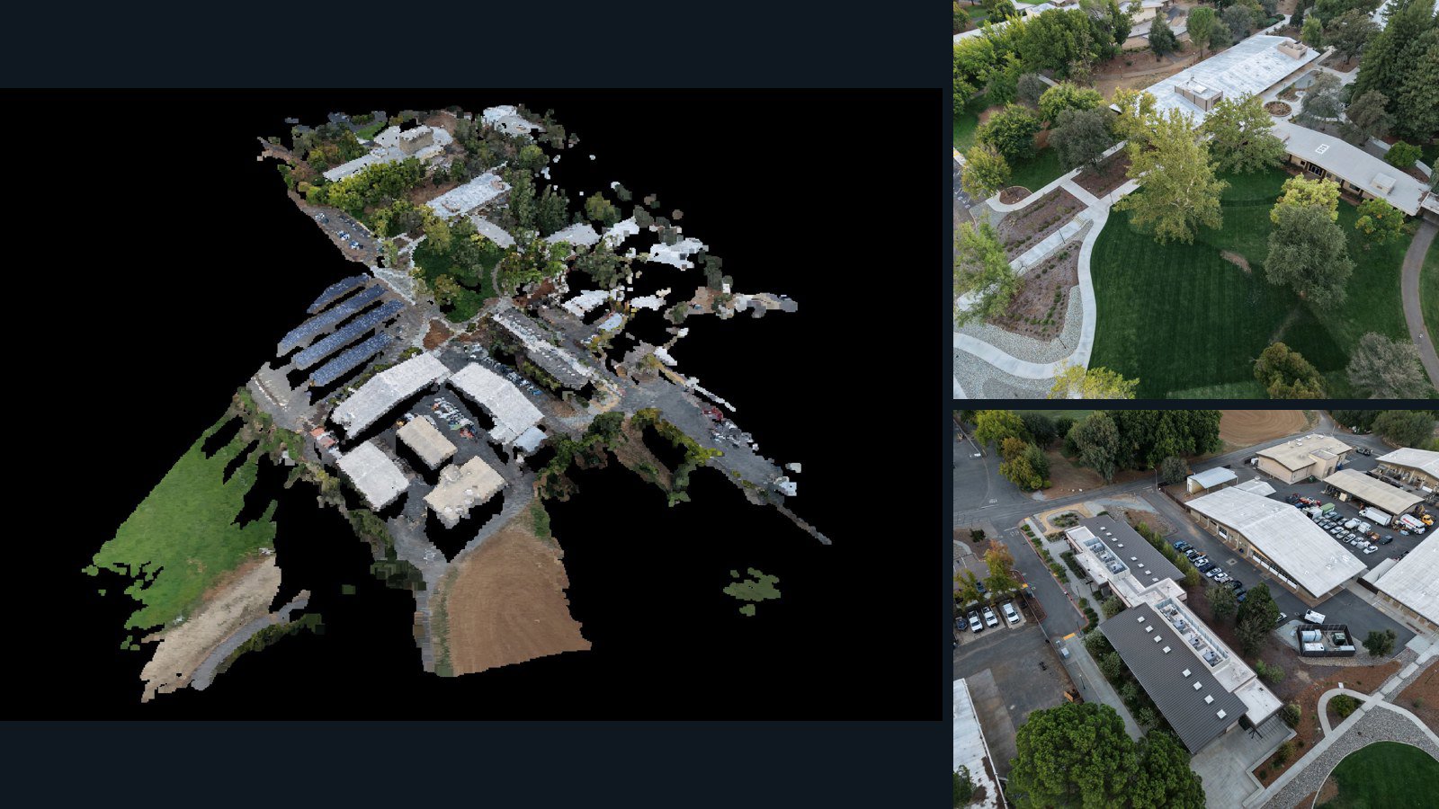
Redding drone capture · AD-693A3A74

35 original drone photos from Redding, California, United States, paired with metadata, project bundles, camera data, 3d meshes, point clouds. Evaluate a sample and request a commercial license for AI training or spatial analysis.

3D model-focused

Photos Orthomosaics Point clouds 3D meshes
35 photos826.8 MB Selected-file sample
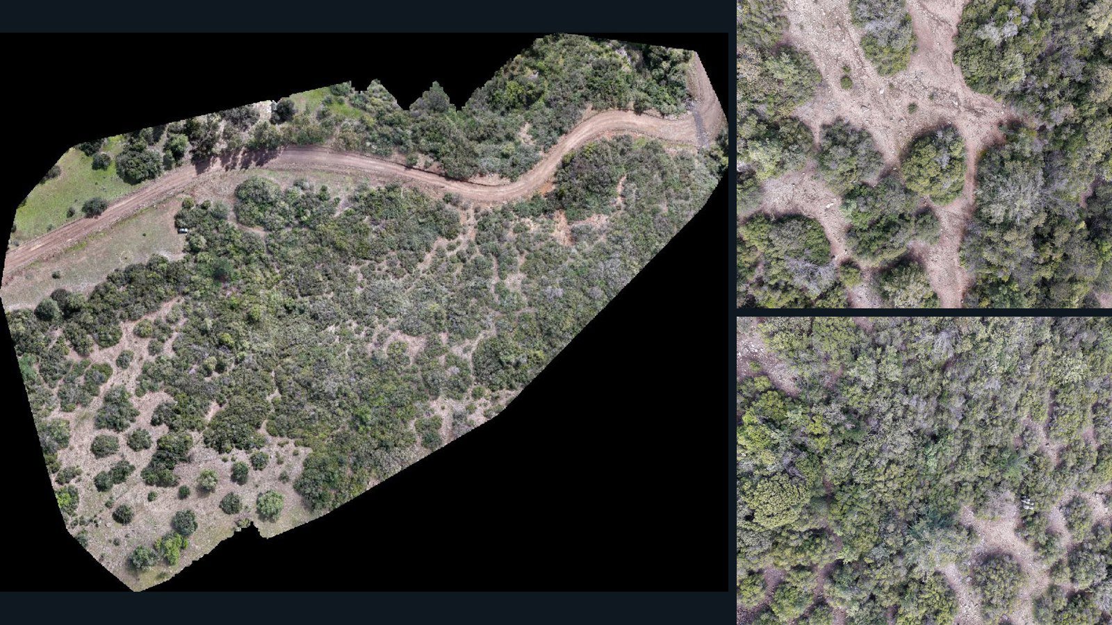
Chile / O'Higgins

La Rufina drone capture · AD-0E62FDC9

136 original drone photos from La Rufina, O'Higgins, Chile, paired with metadata, project bundles, camera data, point clouds, orthomosaics. Evaluate a sample and request a commercial license for AI training or spatial analysis.

Ortho-focused

Photos Orthomosaics Point clouds Camera data
136 photos2.7 GB Selected-file sample
United States / Tennessee

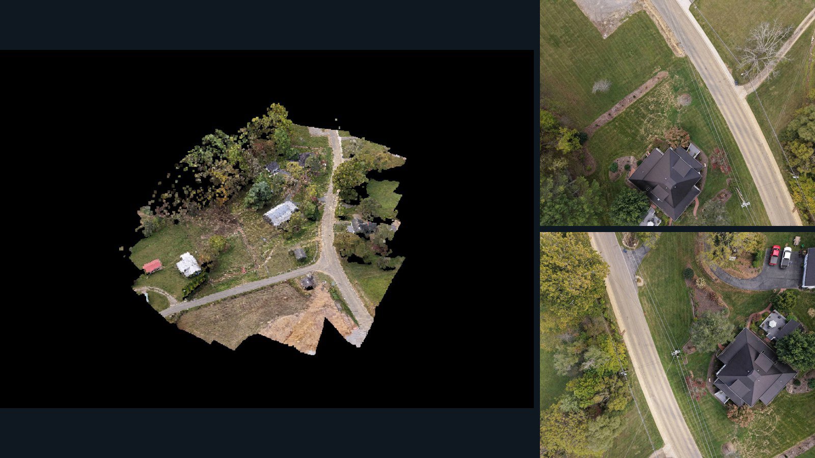
Mountain City drone capture · AD-A418B011

100 original drone photos from Mountain City, Tennessee, United States, paired with metadata, project bundles, camera data, 3d meshes, point clouds. Evaluate a sample and request a commercial license for AI training or spatial analysis.

3D model-focused

Photos Orthomosaics Point clouds 3D meshes
100 photos3 GB Selected-file sample
United States / Virginia

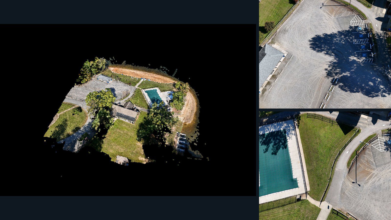
Ruther Glen drone capture · AD-61EF3252

270 original drone photos from Ruther Glen, Virginia, United States, paired with metadata, project bundles, camera data, 3d meshes, point clouds. Evaluate a sample and request a commercial license for AI training or spatial analysis.

3D model-focused

Photos Orthomosaics Point clouds 3D meshes
270 photos4.1 GB Selected-file sample
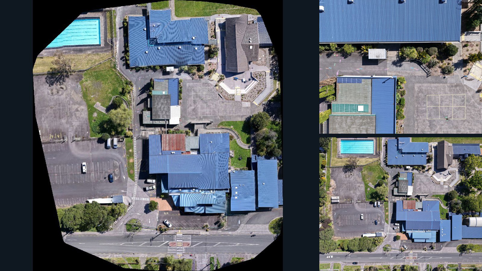
New Zealand / Auckland

Helensville drone capture · AD-BDCAE93D

65 original drone photos from Helensville, Auckland, New Zealand, paired with metadata, project bundles, camera data, point clouds, orthomosaics. Evaluate a sample and request a commercial license for AI training or spatial analysis.

Ortho-focused

Photos Orthomosaics Point clouds Camera data
65 photos2 GB Selected-file sample
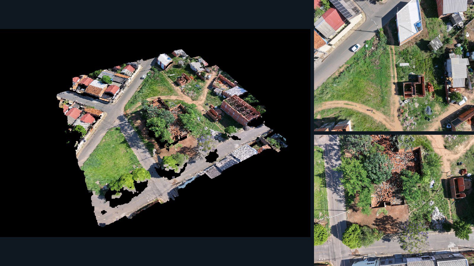
Brazil / Mato Grosso

Várzea Grande drone capture · AD-606BCEED

23 original drone photos from Várzea Grande, Mato Grosso, Brazil, paired with metadata, project bundles, camera data, 3d meshes, point clouds. Evaluate a sample and request a commercial license for AI training or spatial analysis.

3D model-focused

Photos Orthomosaics Point clouds 3D meshes
23 photos458.8 MB Selected-file sample
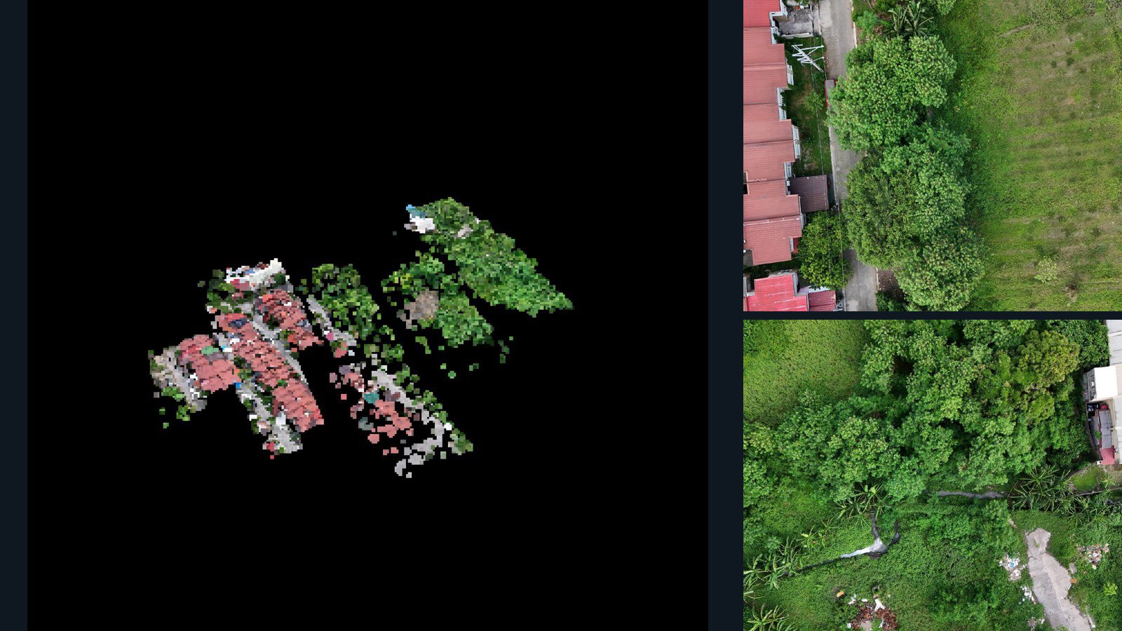
Philippines / Calabarzon

General Trias drone capture · AD-0E8ECD97

36 original drone photos from General Trias, Calabarzon, Philippines, paired with metadata, project bundles, camera data, 3d meshes, point clouds. Evaluate a sample and request a commercial license for AI training or spatial analysis.

3D model-focused

Photos Orthomosaics Point clouds 3D meshes
36 photos1.3 GB Selected-file sample
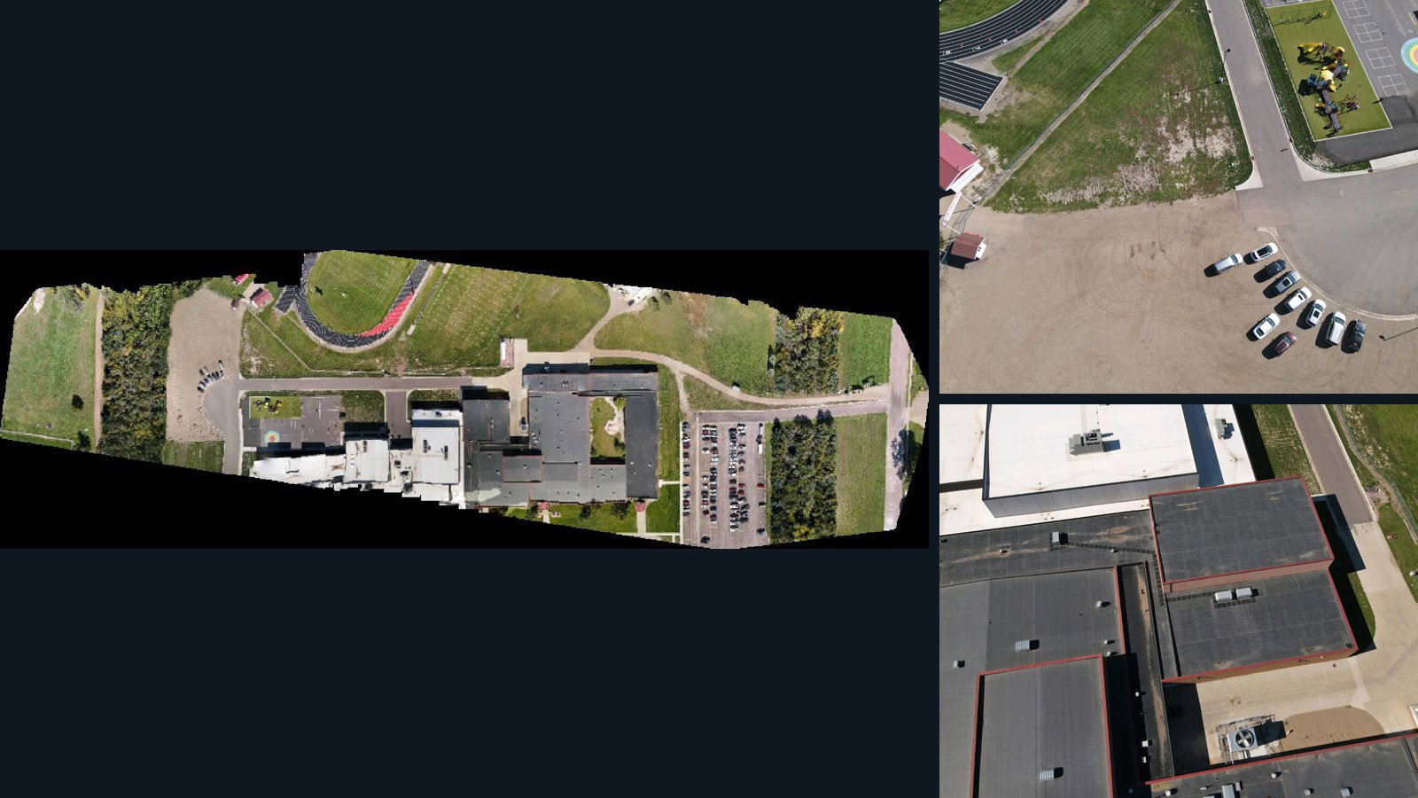
United States / South Dakota

Chamberlain drone capture · AD-36D18411

96 original drone photos from Chamberlain, South Dakota, United States, paired with metadata, project bundles, camera data, point clouds, orthomosaics. Evaluate a sample and request a commercial license for AI training or spatial analysis.

Ortho-focused

Photos Orthomosaics Point clouds Camera data
96 photos1.4 GB Selected-file sample
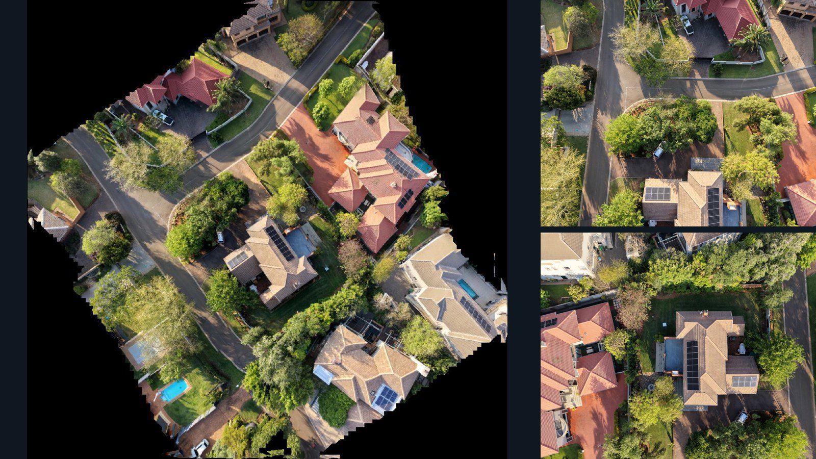
South Africa / Gauteng

Pretoria drone capture · AD-0ED28EF1

22 original drone photos from Pretoria, Gauteng, South Africa, paired with metadata, project bundles, camera data, point clouds, orthomosaics. Evaluate a sample and request a commercial license for AI training or spatial analysis.

Ortho-focused

Photos Orthomosaics Point clouds Camera data
22 photos291.6 MB Selected-file sample
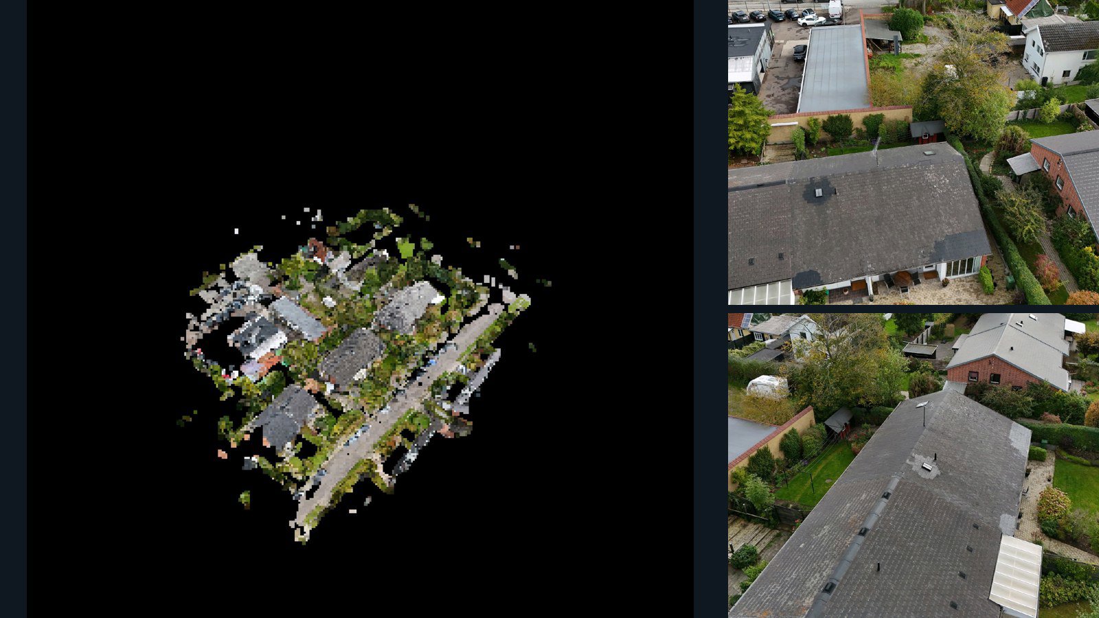
Denmark / region

Holte drone capture · AD-6F275153

131 original drone photos from Holte, region, Denmark, paired with metadata, project bundles, camera data, 3d meshes, point clouds. Evaluate a sample and request a commercial license for AI training or spatial analysis.

3D model-focused

Photos Orthomosaics Point clouds 3D meshes
131 photos4 GB Selected-file sample

Have a specific dataset in mind?

Share your geography, formats, intended use and timeline.

Request data ↗