BROWSE BY ENVIRONMENT

Forestry & vegetation drone datasets

Browse vegetated landscapes and tree-covered areas. Photogrammetric geometry reflects visible surfaces and may not represent bare earth beneath vegetation. Review coverage, capture conditions and retained files per dataset.

37 datasets

Scene-level inventories
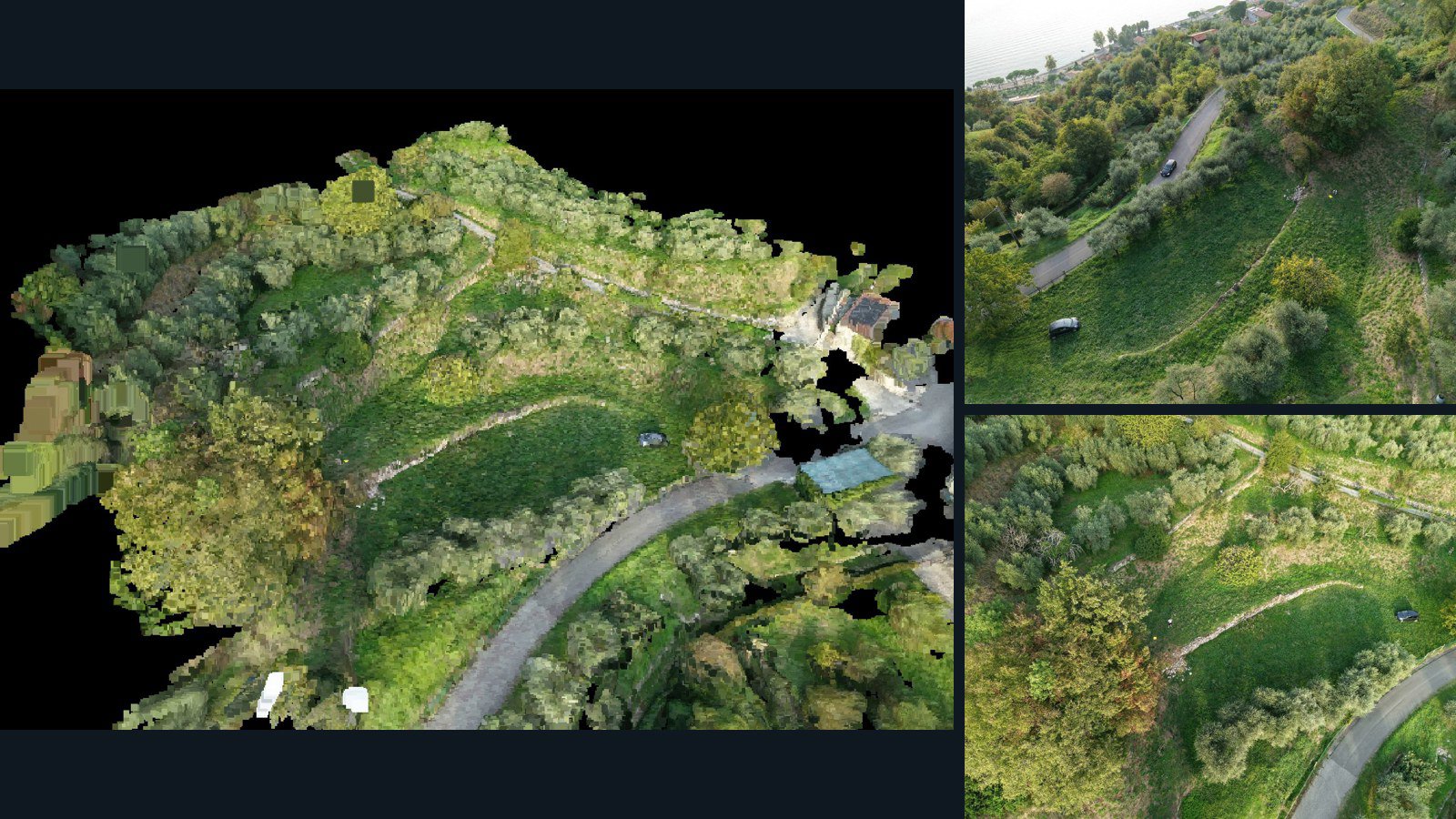
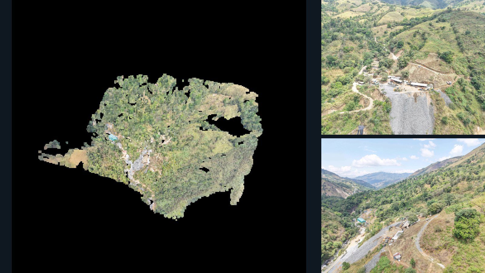
Ecuador / El Oro

Cantón de Atahualpa drone capture · AD-A3B703FF

100 original drone photos from Cantón de Atahualpa, El Oro, Ecuador, paired with metadata, project bundles, camera data, 3d meshes, point clouds. Evaluate a sample and request a commercial license for AI training or spatial analysis.

3D model-focused

Photos Orthomosaics Point clouds 3D meshes
100 photos2 GB Selected-file sample
Unknown

Unreviewed drone capture · AD-34ACE759

34 original drone photos from an unspecified location, paired with metadata, project bundles, camera data, 3d meshes, point clouds. Evaluate a sample and request a commercial license for AI training or spatial analysis.

3D model-focused

Photos Orthomosaics Point clouds 3D meshes
34 photos1.3 GB Selected-file sample
United States / Mississippi

Petal drone capture · AD-F155E2CC

26 original drone photos from Petal, Mississippi, United States, paired with metadata, project bundles, camera data, point clouds, orthomosaics. Evaluate a sample and request a commercial license for AI training or spatial analysis.

Ortho-focused

Photos Orthomosaics Point clouds Camera data
26 photos990.7 MB AerialAlign Selected-file sample
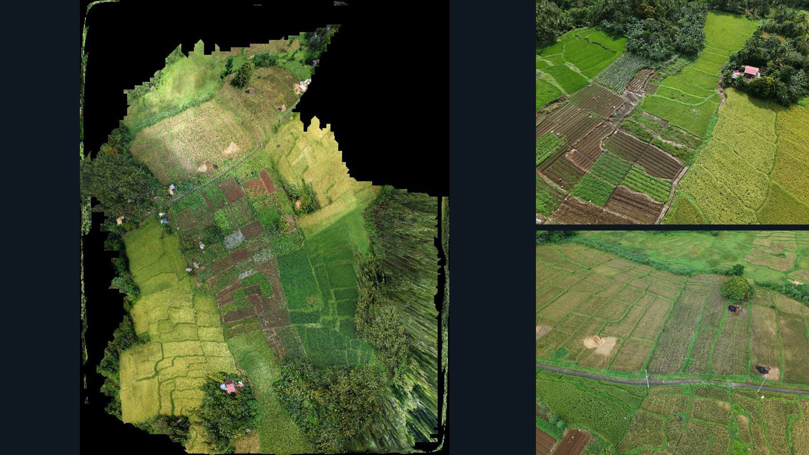
Philippines / Calabarzon

City of Tayabas drone capture · AD-9321007A

59 original drone photos from City of Tayabas, Calabarzon, Philippines, paired with metadata, project bundles, camera data, point clouds, orthomosaics. Evaluate a sample and request a commercial license for AI training or spatial analysis.

Ortho-focused

Photos Orthomosaics Point clouds Camera data
59 photos803.9 MB Selected-file sample
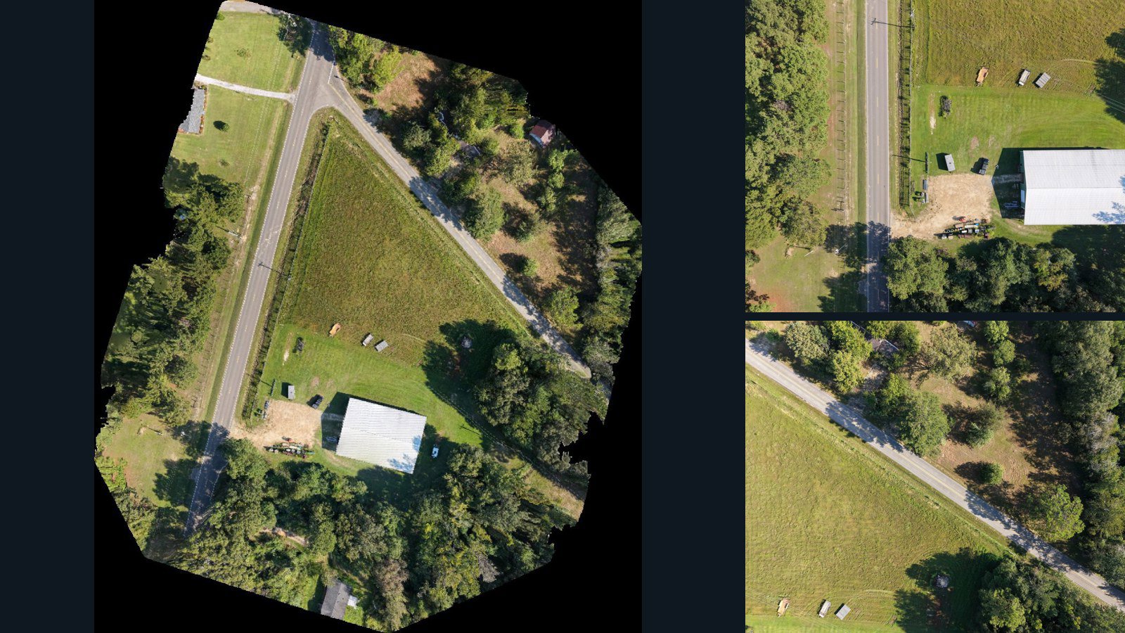
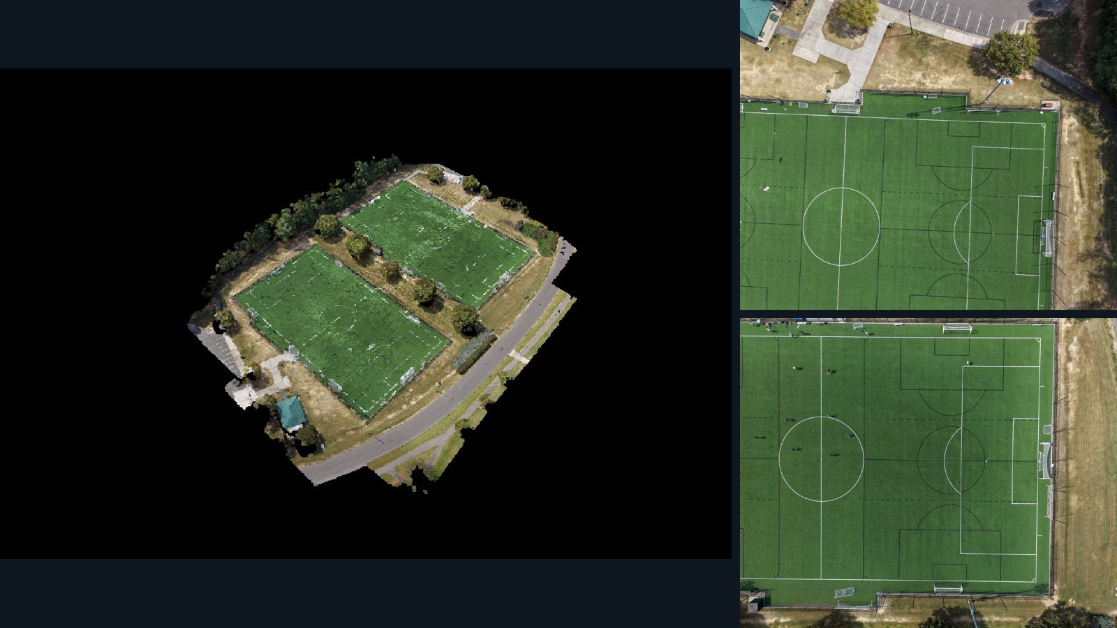
United States / North Carolina

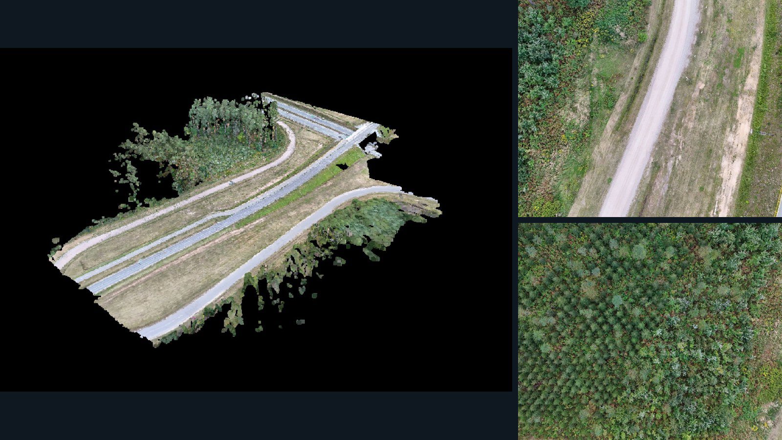
Cary drone capture · AD-CD21F44D

45 original drone photos from Cary, North Carolina, United States, paired with metadata, project bundles, camera data, 3d meshes, point clouds. Evaluate a sample and request a commercial license for AI training or spatial analysis.

3D model-focused

Photos Orthomosaics Point clouds 3D meshes
45 photos1.3 GB AerialAlign Selected-file sample
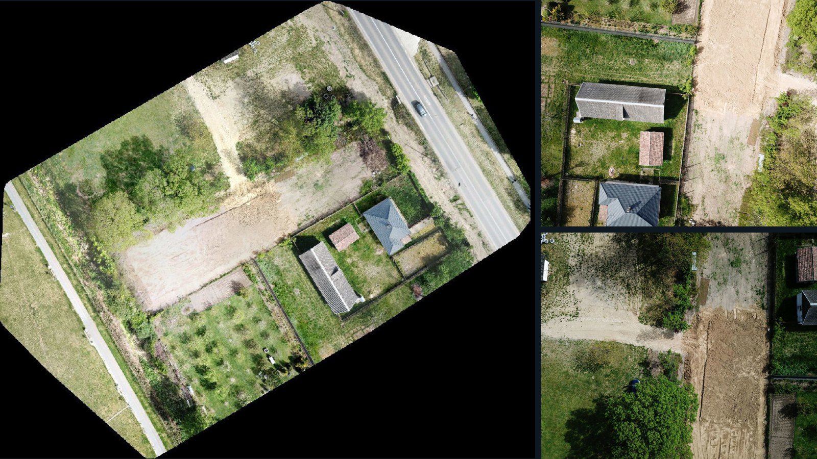
Romania / Județul Satu Mare

Satu Mare drone capture · AD-8745AEC1

15 original drone photos from Satu Mare, Județul Satu Mare, Romania, paired with metadata, project bundles, camera data, point clouds, orthomosaics. Evaluate a sample and request a commercial license for AI training or spatial analysis.

Ortho-focused

Photos Orthomosaics Point clouds Camera data
15 photos315.2 MB Selected-file sample
Norfolk Island / region

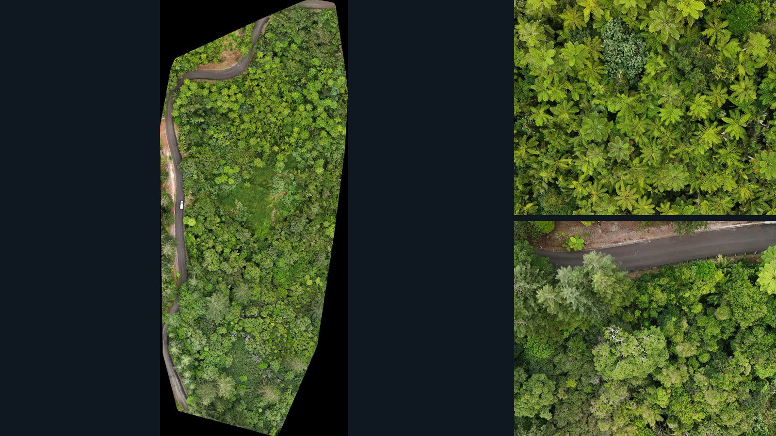
Burnt Pine drone capture · AD-1E97EABA

193 original drone photos from Burnt Pine, region, Norfolk Island, paired with metadata, project bundles, camera data, point clouds, orthomosaics. Evaluate a sample and request a commercial license for AI training or spatial analysis.

Ortho-focused

Photos Orthomosaics Point clouds Camera data
193 photos6.9 GB Selected-file sample
Poland / Warmian-Masurian Voivodeship

Ełk County drone capture · AD-AD07FEAD

79 original drone photos from Ełk County, Warmian-Masurian Voivodeship, Poland, paired with metadata, project bundles, camera data, 3d meshes, point clouds. Evaluate a sample and request a commercial license for AI training or spatial analysis.

3D model-focused

Photos Orthomosaics Point clouds 3D meshes
79 photos2.7 GB Selected-file sample
United Kingdom / England

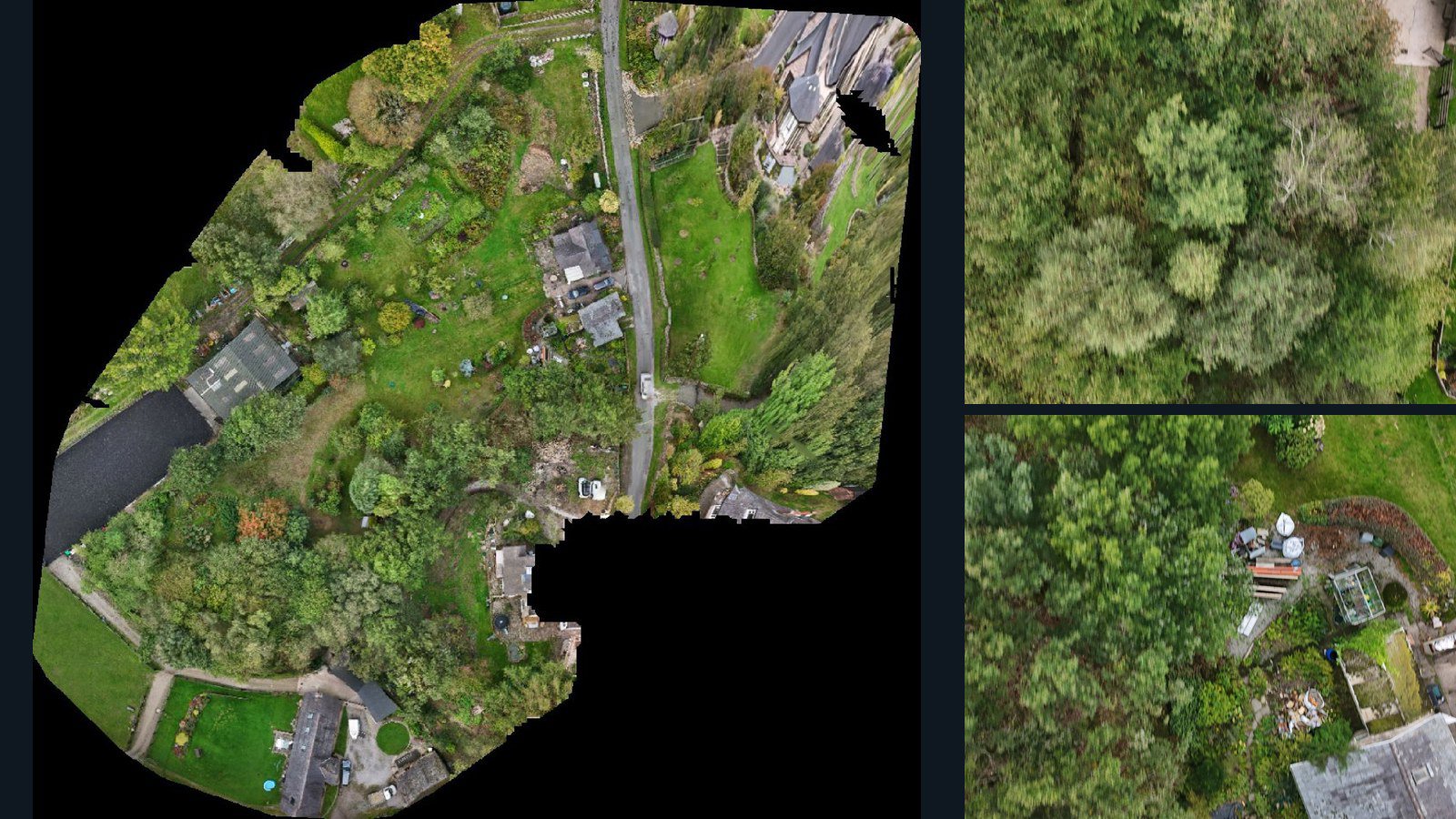
Cheshire East drone capture · AD-514A0FB0

185 original drone photos from Cheshire East, England, United Kingdom, paired with metadata, project bundles, camera data, point clouds, orthomosaics. Evaluate a sample and request a commercial license for AI training or spatial analysis.

Ortho-focused

Photos Orthomosaics Point clouds Camera data
185 photos1.9 GB Selected-file sample
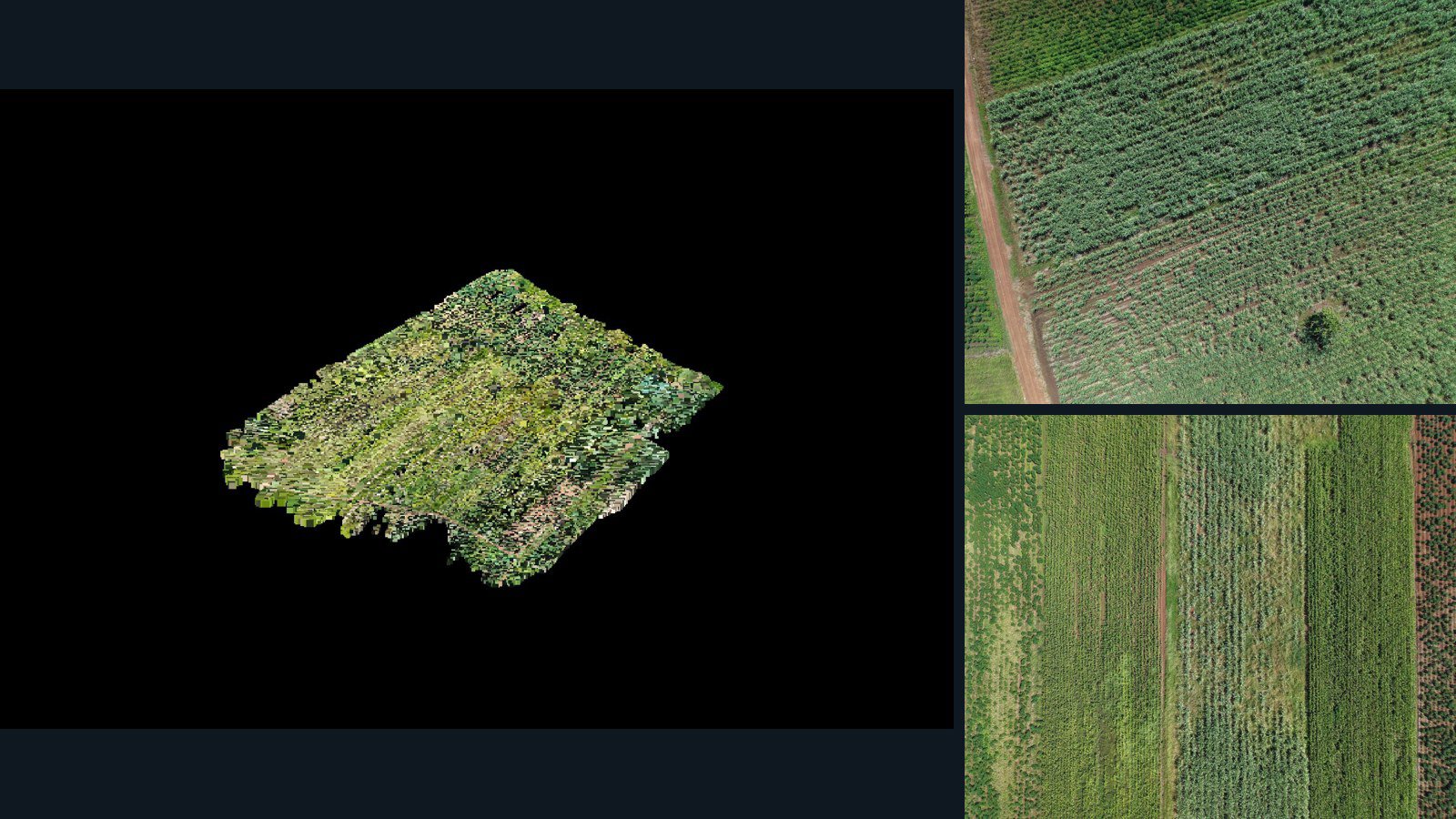
South Africa / Limpopo

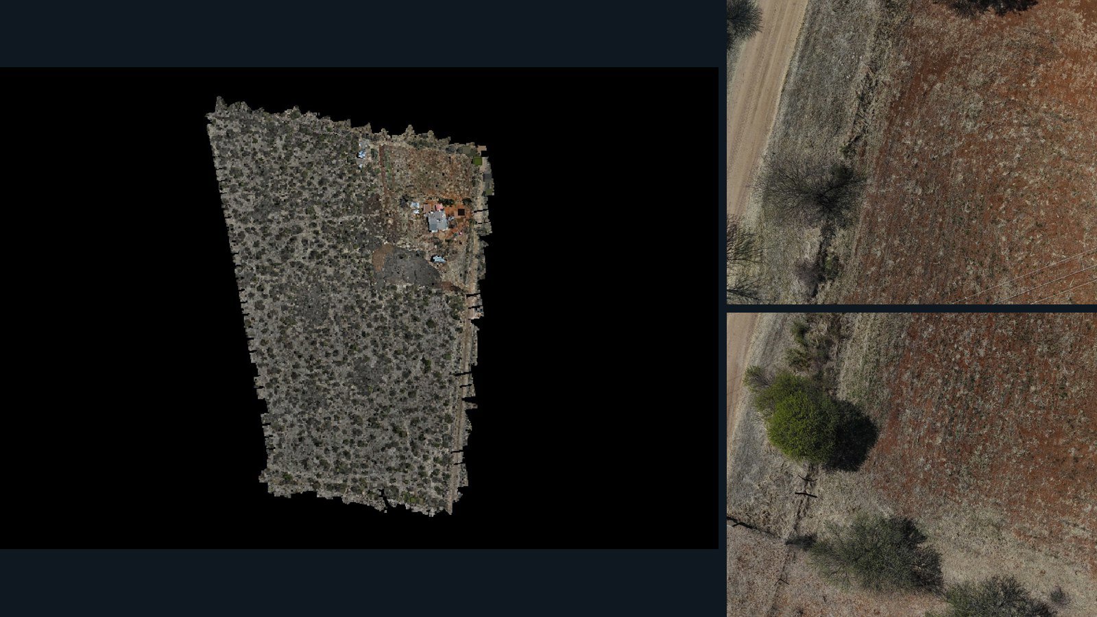
Waterberg District Municipality drone capture · AD-D750C848

630 original drone photos from Waterberg District Municipality, Limpopo, South Africa, paired with metadata, project bundles, camera data, 3d meshes, point clouds. Evaluate a sample and request a commercial license for AI training or spatial analysis.

Ortho-focused

Photos Orthomosaics Point clouds 3D meshes
630 photos7.7 GB Selected-file sample
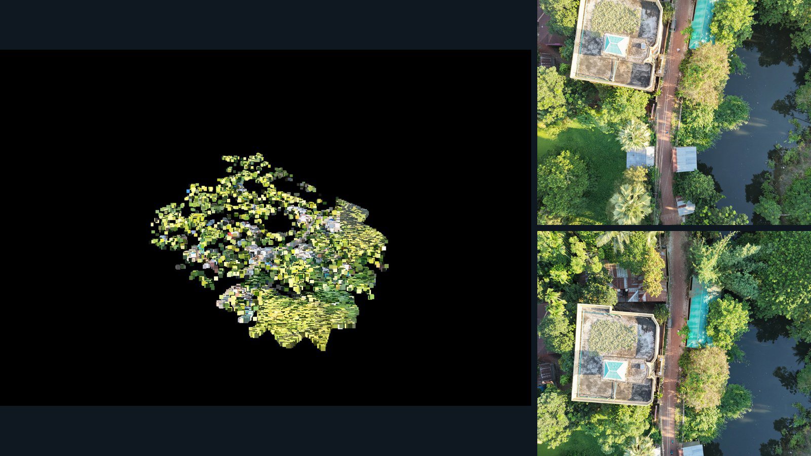
Bangladesh / চট্টগ্রাম বিভাগ

চাঁদপুর জেলা drone capture · AD-1016EAC1

148 original drone photos from চাঁদপুর জেলা, চট্টগ্রাম বিভাগ, Bangladesh, paired with metadata, project bundles, camera data, point clouds, orthomosaics. Evaluate a sample and request a commercial license for AI training or spatial analysis.

Ortho-focused

Photos Orthomosaics Point clouds Camera data
148 photos2.9 GB Selected-file sample
Thailand / Chang Wat Nakhon Sawan

Tambon Wang Bo drone capture · AD-434DF1DC

657 original drone photos from Tambon Wang Bo, Chang Wat Nakhon Sawan, Thailand, paired with metadata, project bundles, camera data, point clouds, orthomosaics. Evaluate a sample and request a commercial license for AI training or spatial analysis.

Ortho-focused

Photos Orthomosaics Point clouds Camera data
657 photos18.2 GB Selected-file sample

Have a specific dataset in mind?

Share your geography, formats, intended use and timeline.

Request data ↗