BROWSE BY ENVIRONMENT

Forestry & vegetation drone datasets

Browse vegetated landscapes and tree-covered areas. Photogrammetric geometry reflects visible surfaces and may not represent bare earth beneath vegetation. Review coverage, capture conditions and retained files per dataset.

37 datasets

Scene-level inventories
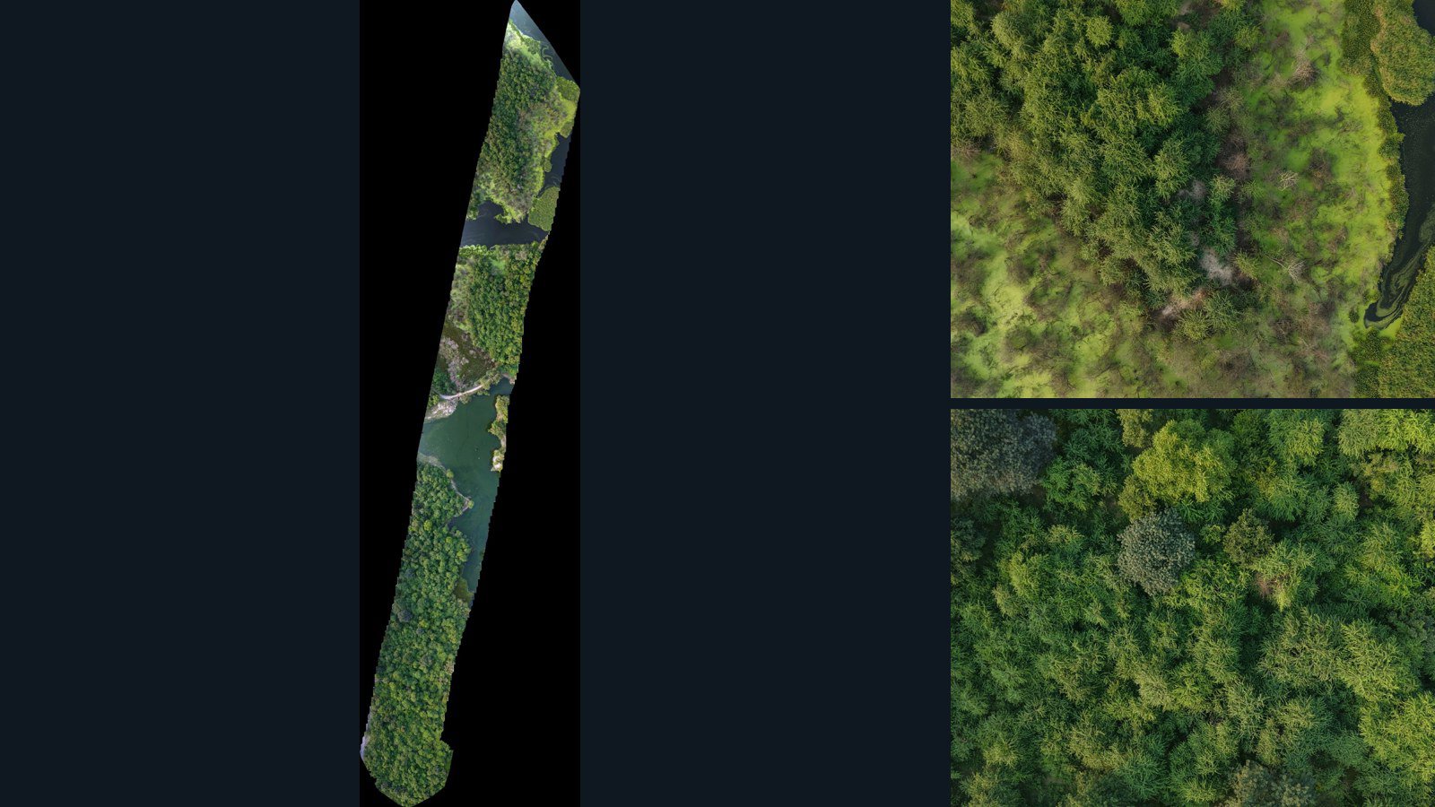
Unknown

Unreviewed drone capture · AD-7BF1CD3F

399 original drone photos from an unspecified location, paired with metadata, project bundles, camera data, point clouds, orthomosaics. Evaluate a sample and request a commercial license for AI training or spatial analysis.

Ortho-focused

Photos Orthomosaics Point clouds Camera data
399 photos6.8 GB Selected-file sample
Unknown

Unknown drone capture · AD-3DF3C813

96 original drone photos from an unspecified location, paired with metadata, project bundles, camera data, point clouds, orthomosaics. Evaluate a sample and request a commercial license for AI training or spatial analysis.

Ortho-focused

Photos Orthomosaics Point clouds Camera data
96 photos1.7 GB Selected-file sample
United States / Texas

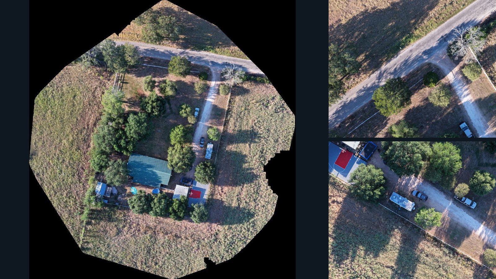
Giddings drone capture · AD-38445F3B

36 original drone photos from Giddings, Texas, United States, paired with metadata, project bundles, camera data, point clouds, orthomosaics. Evaluate a sample and request a commercial license for AI training or spatial analysis.

Ortho-focused

Photos Orthomosaics Point clouds Camera data
36 photos2.7 GB Selected-file sample
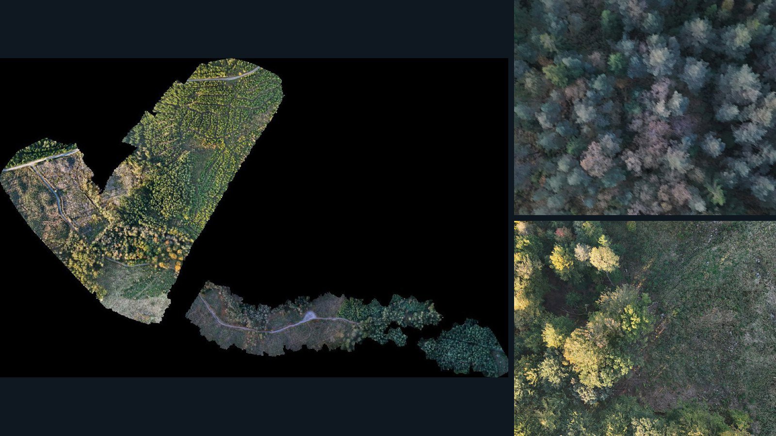
Sweden / Halland County

Halland County drone capture · AD-A650B333

1,192 original drone photos from Halland County, Sweden, paired with metadata, project bundles, camera data, point clouds, orthomosaics. Evaluate a sample and request a commercial license for AI training or spatial analysis.

Ortho-focused

Photos Orthomosaics Point clouds Camera data
1,192 photos12.3 GB Selected-file sample
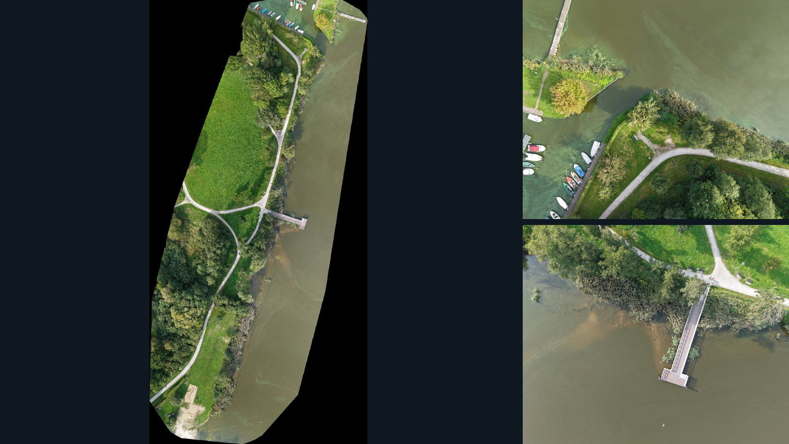
Germany / Niedersachsen

Bad Zwischenahn drone capture · AD-9EA9246D

180 original drone photos from Bad Zwischenahn, Niedersachsen, Germany, paired with metadata, project bundles, camera data, point clouds, orthomosaics. Evaluate a sample and request a commercial license for AI training or spatial analysis.

Ortho-focused

Photos Orthomosaics Point clouds Camera data
180 photos5.8 GB Selected-file sample
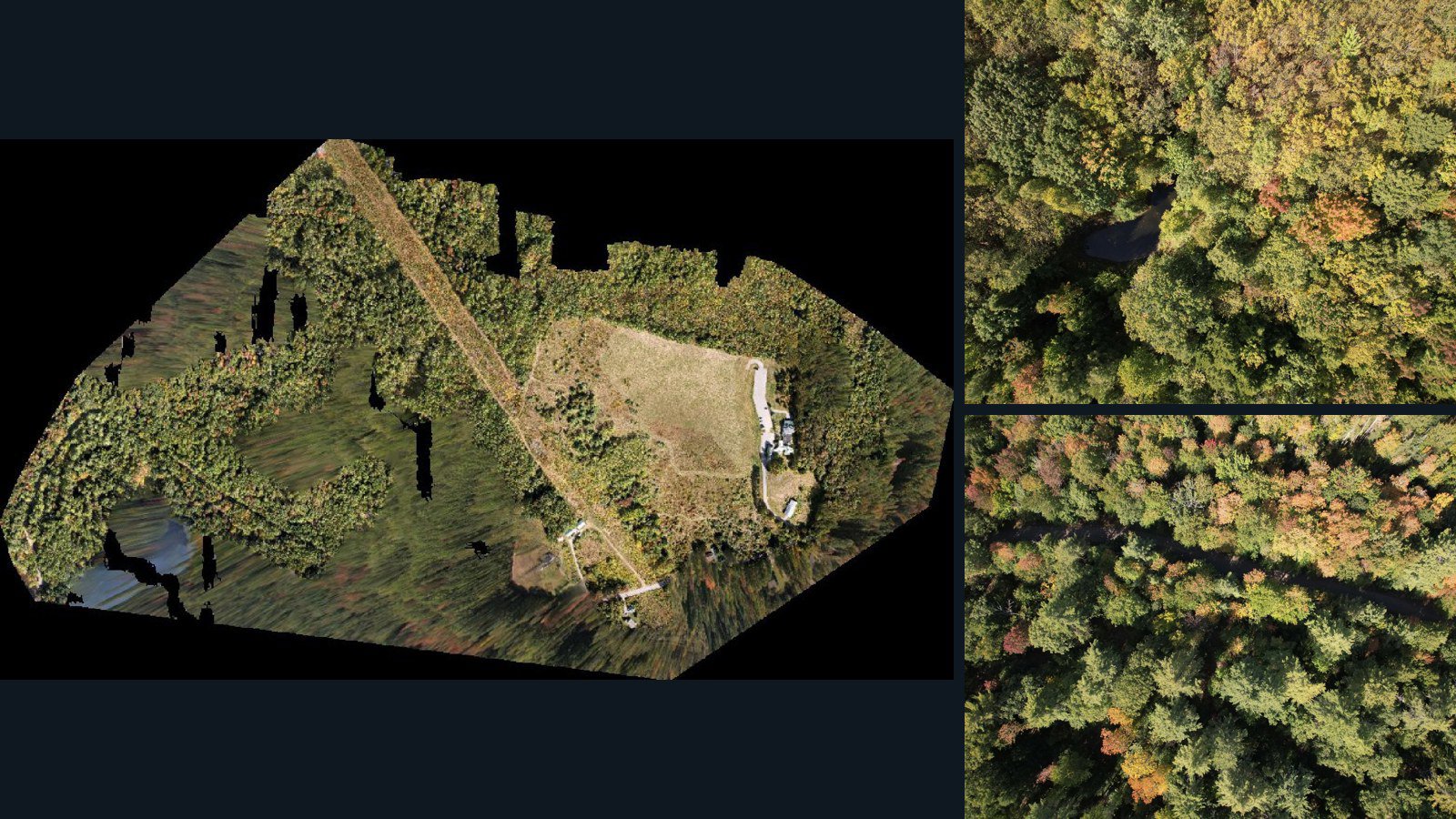
United States / Maine

Hallowell drone capture · AD-CCF66D3C

588 original drone photos from Hallowell, Maine, United States, paired with metadata, project bundles, camera data, point clouds, orthomosaics. Evaluate a sample and request a commercial license for AI training or spatial analysis.

Ortho-focused

Photos Orthomosaics Point clouds Camera data
588 photos16.4 GB Selected-file sample
United States / California

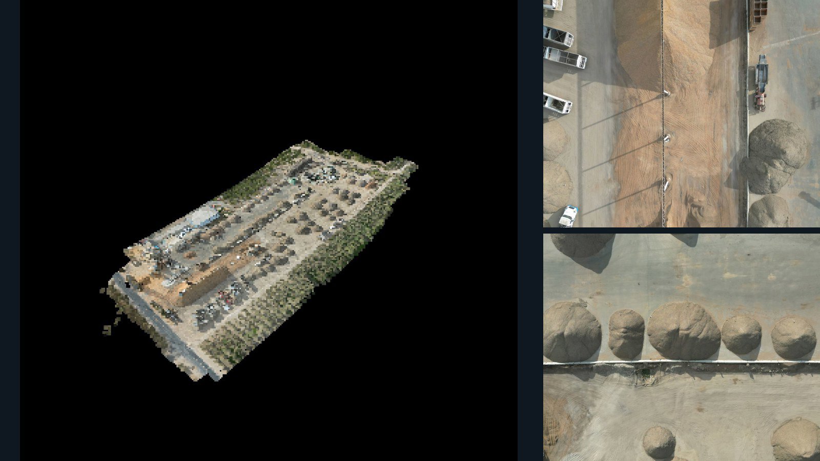
Modesto drone capture · AD-F69F4FAB

196 original drone photos from Modesto, California, United States, paired with metadata, project bundles, camera data, 3d meshes, point clouds. Evaluate a sample and request a commercial license for AI training or spatial analysis.

3D model-focused

Photos Orthomosaics Point clouds 3D meshes
196 photos1.8 GB Selected-file sample
Poland / Województwo wielkopolskie

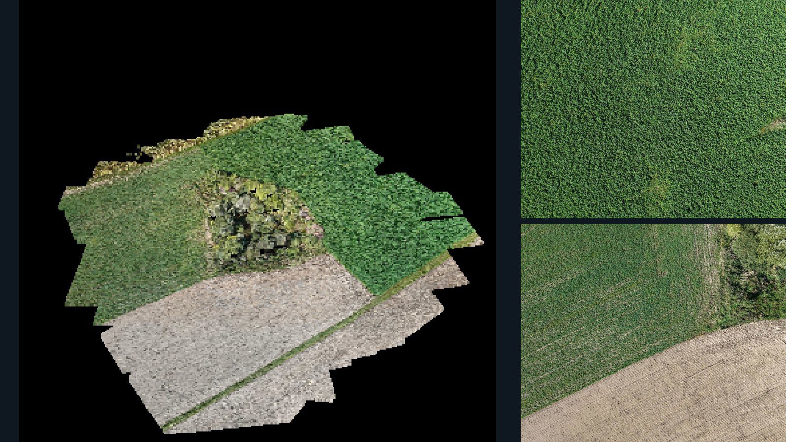
Gębice drone capture · AD-DCB2893C

64 original drone photos from Gębice, Województwo wielkopolskie, Poland, paired with metadata, project bundles, camera data, 3d meshes, point clouds. Evaluate a sample and request a commercial license for AI training or spatial analysis.

3D model-focused

Photos Orthomosaics Point clouds 3D meshes
64 photos1.3 GB Selected-file sample
Malaysia / Perak

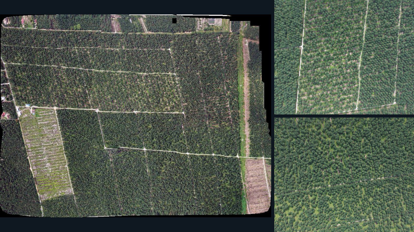
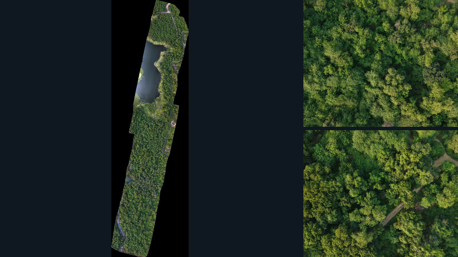
Teluk Intan drone capture · AD-355E860D

25 original drone photos from Teluk Intan, Perak, Malaysia, paired with metadata, project bundles, camera data, point clouds, orthomosaics. Evaluate a sample and request a commercial license for AI training or spatial analysis.

Ortho-focused

Photos Orthomosaics Point clouds Camera data
25 photos975.8 MB Selected-file sample
Thailand / Buri Ram

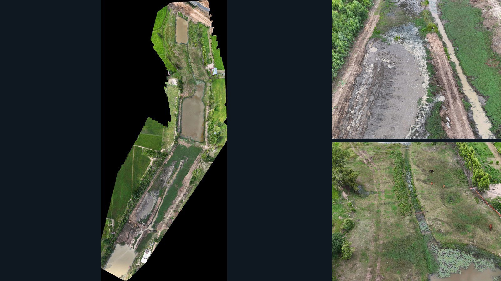
Ban Yang drone capture · AD-828F0A1C

49 original drone photos from Ban Yang, Buri Ram, Thailand, paired with metadata, project bundles, camera data, point clouds, orthomosaics. Evaluate a sample and request a commercial license for AI training or spatial analysis.

Ortho-focused

Photos Orthomosaics Point clouds Camera data
49 photos1.1 GB Selected-file sample
Spain / Valencian Community

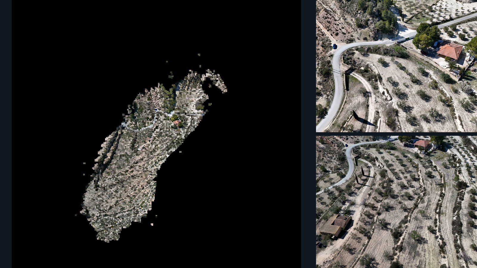
Alicante drone capture · AD-46D7C719

65 original drone photos from Alicante, Valencian Community, Spain, paired with metadata, project bundles, camera data, 3d meshes, point clouds. Evaluate a sample and request a commercial license for AI training or spatial analysis.

3D model-focused

Photos Orthomosaics Point clouds 3D meshes
65 photos3.5 GB Selected-file sample
Spain / Valencian Community

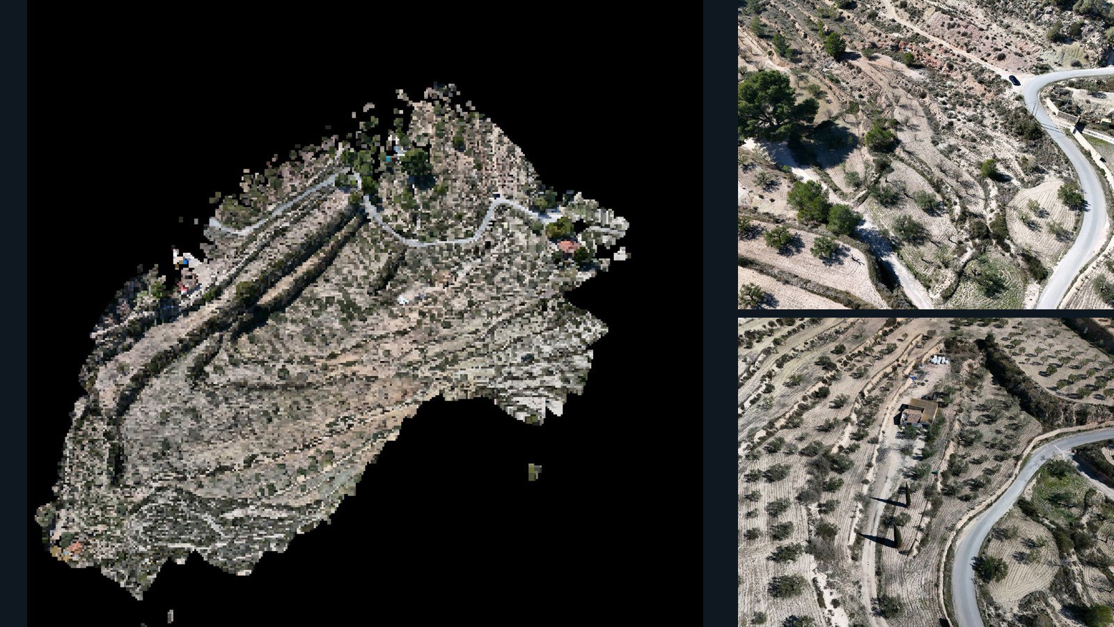
Alicante drone capture · AD-FB9BBAE8

99 original drone photos from Alicante, Valencian Community, Spain, paired with metadata, project bundles, camera data, 3d meshes, point clouds. Evaluate a sample and request a commercial license for AI training or spatial analysis.

3D model-focused

Photos Orthomosaics Point clouds 3D meshes
99 photos5 GB Selected-file sample

Have a specific dataset in mind?

Share your geography, formats, intended use and timeline.

Request data ↗