EXPLORE BY LOCATION

Licensable drone scenes in Northern Ireland, United Kingdom

Explore available drone captures from Northern Ireland, United Kingdom. Compare source photo counts, capture dates and retained spatial products, then request a license for the scenes that fit your project. Coordinate precision and file availability are shown per dataset.

4 scenes1,596 photos15.6 GB retained data

Try a sample scene

Evaluate one scene before licensing the larger collection. Samples have separate evaluation terms.

United Kingdom / Northern Ireland

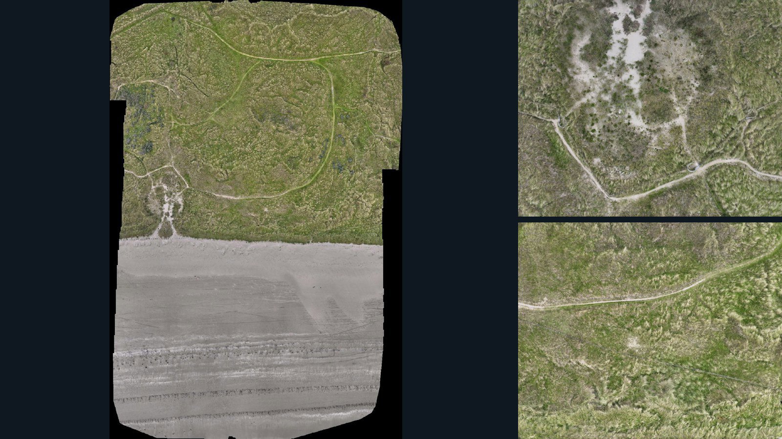
Newry, Mourne and Down drone capture · AD-4F938317

396 original drone photos from Newry, Mourne and Down, Northern Ireland, United Kingdom, paired with metadata, project bundles, camera data, point clouds, orthomosaics. Evaluate a sample and request a commercial license for AI training or spatial analysis.

Ortho-focused

Photos Orthomosaics Point clouds Camera data
396 photos3.8 GB Selected-file sample
United Kingdom / Northern Ireland

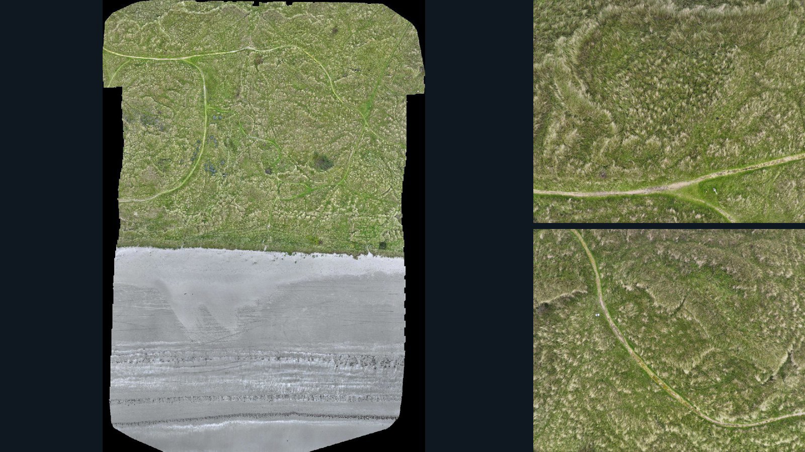
Newry, Mourne and Down drone capture · AD-00641651

400 original drone photos from Newry, Mourne and Down, Northern Ireland, United Kingdom, paired with metadata, project bundles, camera data, point clouds, orthomosaics. Evaluate a sample and request a commercial license for AI training or spatial analysis.

Ortho-focused

Photos Orthomosaics Point clouds Camera data
400 photos3.8 GB Selected-file sample
United Kingdom / Northern Ireland

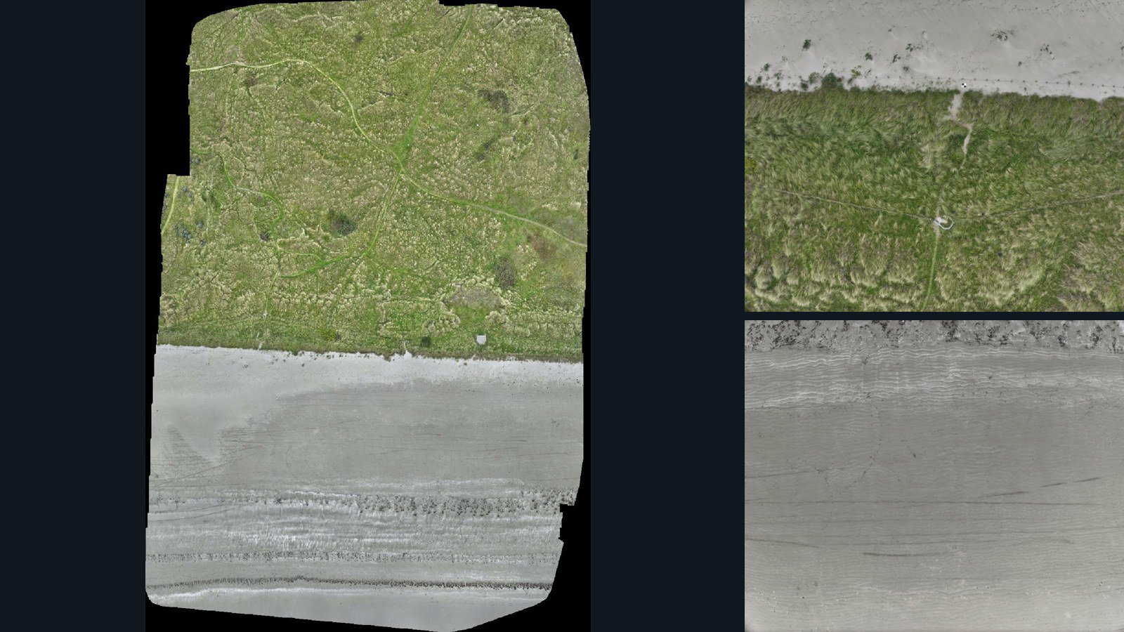
Tyrella drone capture · AD-0AE6DC13

400 original drone photos from Tyrella, Northern Ireland, United Kingdom, paired with metadata, project bundles, camera data, point clouds, orthomosaics. Evaluate a sample and request a commercial license for AI training or spatial analysis.

Ortho-focused

Photos Orthomosaics Point clouds Camera data
400 photos3.8 GB Selected-file sample

4 datasets

Scene-level inventories
United Kingdom / Northern Ireland

Newry, Mourne and Down drone capture · AD-4F938317

396 original drone photos from Newry, Mourne and Down, Northern Ireland, United Kingdom, paired with metadata, project bundles, camera data, point clouds, orthomosaics. Evaluate a sample and request a commercial license for AI training or spatial analysis.

Ortho-focused

Photos Orthomosaics Point clouds Camera data
396 photos3.8 GB Selected-file sample
United Kingdom / Northern Ireland

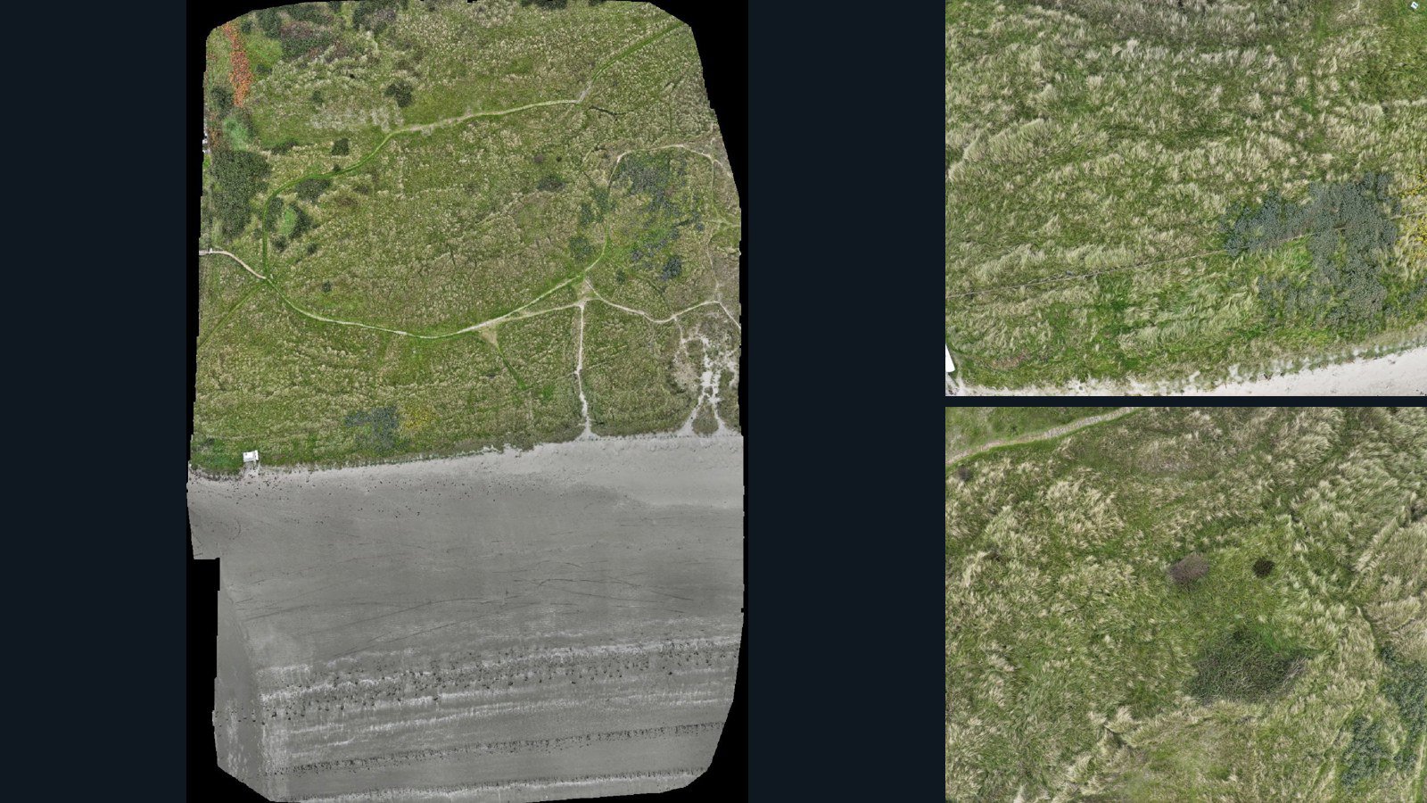
Newry, Mourne and Down drone capture · AD-9579836F

400 original drone photos from Newry, Mourne and Down, Northern Ireland, United Kingdom, paired with metadata, project bundles, camera data, point clouds, orthomosaics. Evaluate a sample and request a commercial license for AI training or spatial analysis.

Ortho-focused

Photos Orthomosaics Point clouds Camera data
400 photos4.2 GB Selected-file sample
United Kingdom / Northern Ireland

Newry, Mourne and Down drone capture · AD-00641651

400 original drone photos from Newry, Mourne and Down, Northern Ireland, United Kingdom, paired with metadata, project bundles, camera data, point clouds, orthomosaics. Evaluate a sample and request a commercial license for AI training or spatial analysis.

Ortho-focused

Photos Orthomosaics Point clouds Camera data
400 photos3.8 GB Selected-file sample
United Kingdom / Northern Ireland

Tyrella drone capture · AD-0AE6DC13

400 original drone photos from Tyrella, Northern Ireland, United Kingdom, paired with metadata, project bundles, camera data, point clouds, orthomosaics. Evaluate a sample and request a commercial license for AI training or spatial analysis.

Ortho-focused

Photos Orthomosaics Point clouds Camera data
400 photos3.8 GB Selected-file sample

Have a specific dataset in mind?

Share your geography, formats, intended use and timeline.

Request data ↗