LOCATION & DATA TYPE

Licensable project bundles in Leicestershire, England, United Kingdom

Browse drone scenes from Leicestershire, England, United Kingdom with retained project bundles. Compare scene inventories, evaluate available samples and request a commercial license for AI training or spatial analysis. File availability and accuracy limitations are shown for each scene.

7 scenes835 photos13 GB retained data

Try a sample scene

Evaluate one scene before licensing the larger collection. Samples have separate evaluation terms.

United Kingdom / England

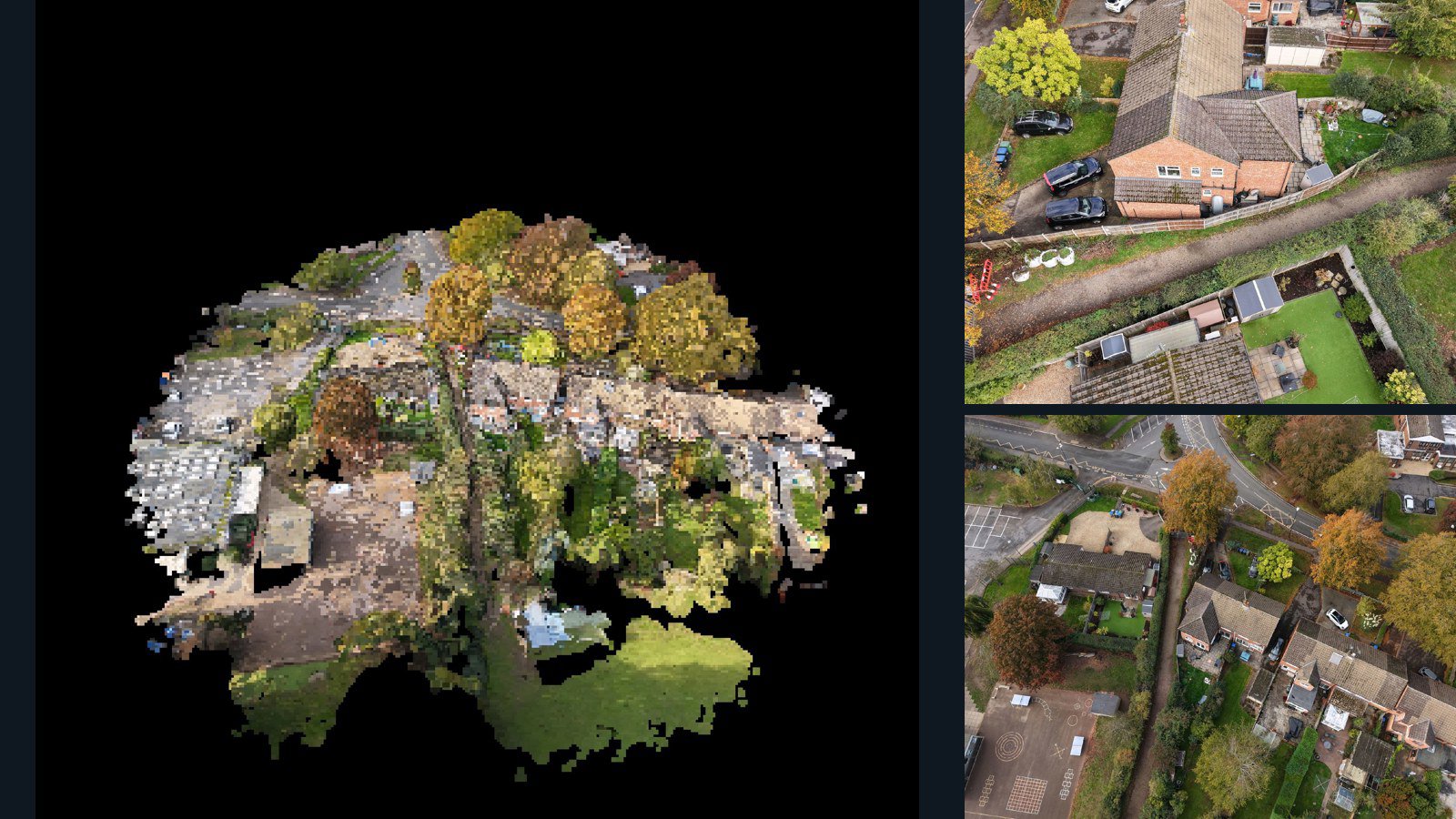
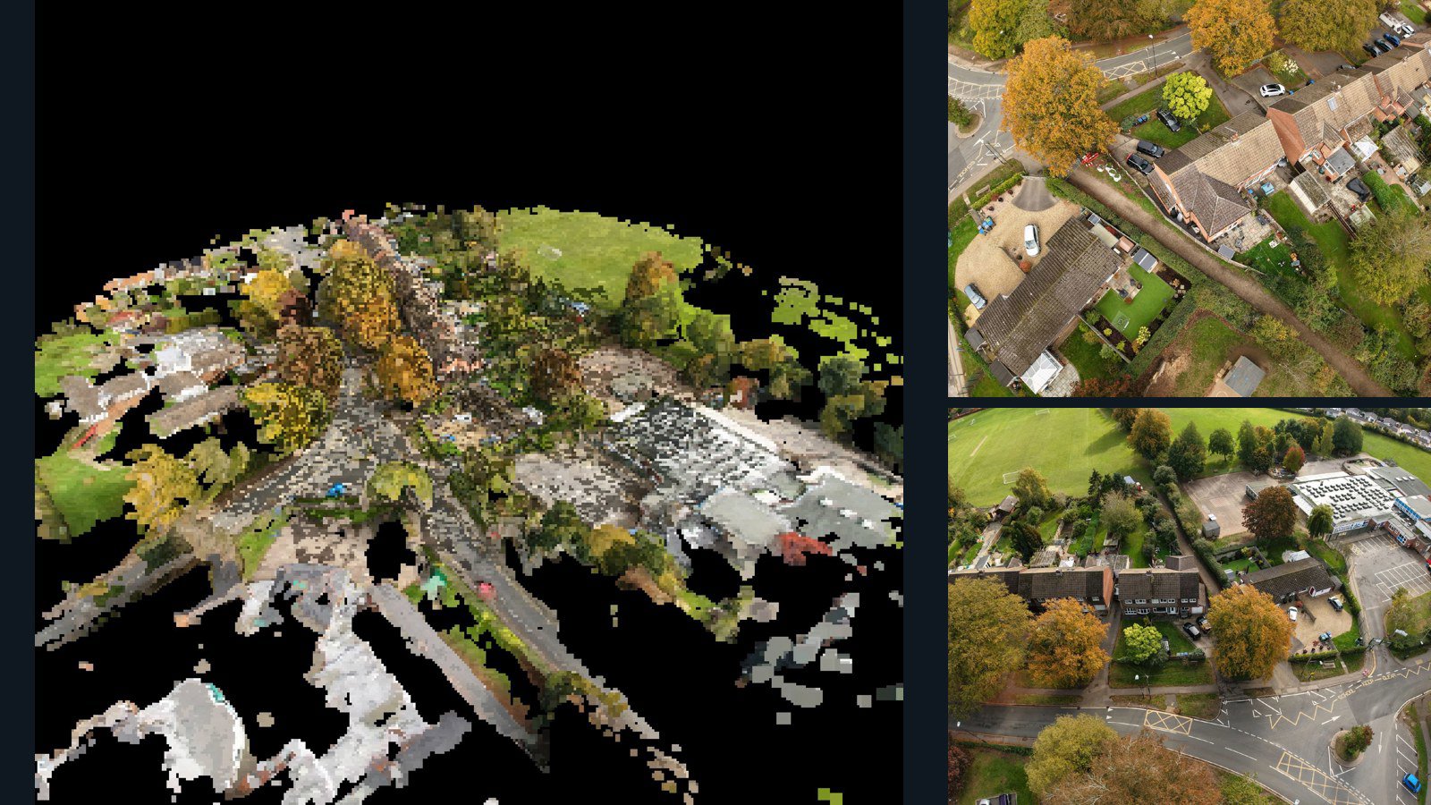
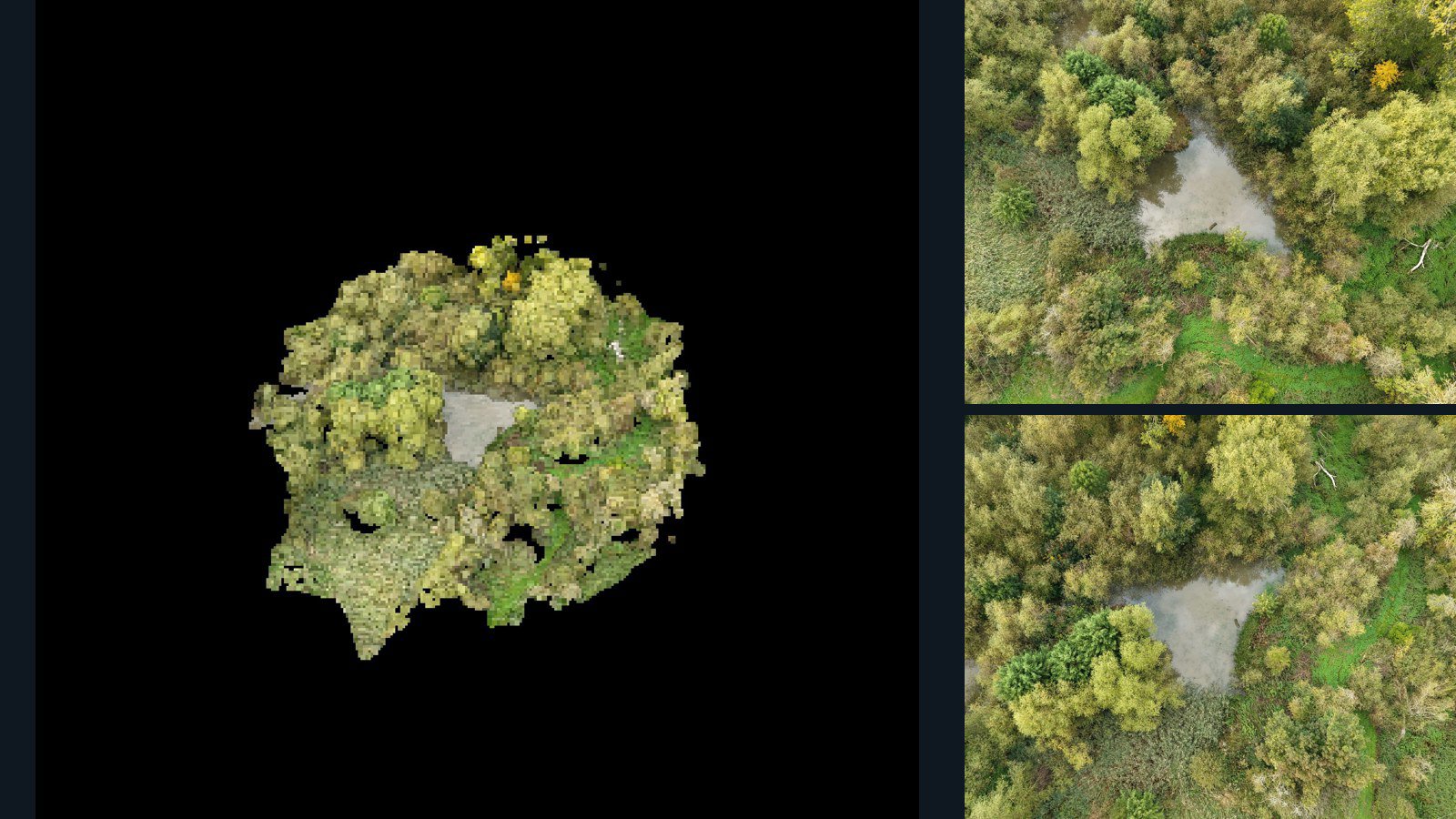
Leicestershire drone capture · AD-CA4F9457

8 original drone photos from Leicestershire, England, United Kingdom, paired with metadata, project bundles, camera data, 3d meshes, point clouds. Evaluate a sample and request a commercial license for AI training or spatial analysis.

3D model-focused

Photos Orthomosaics Point clouds 3D meshes
8 photos325.4 MB Selected-file sample
United Kingdom / England

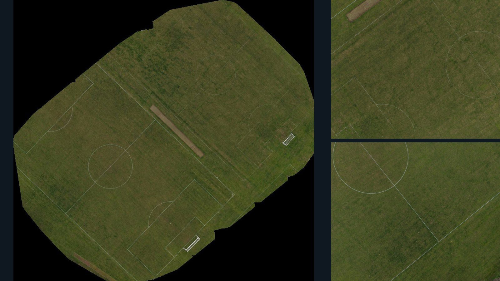
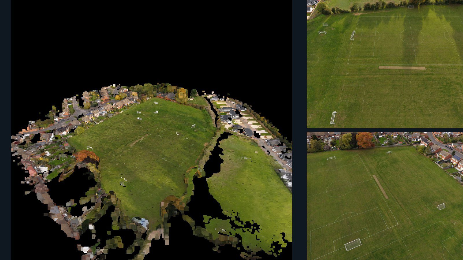
Leicestershire drone capture · AD-65DE4061

97 original drone photos from Leicestershire, England, United Kingdom, paired with metadata, project bundles, camera data, point clouds, orthomosaics. Evaluate a sample and request a commercial license for AI training or spatial analysis.

Ortho-focused

Photos Orthomosaics Point clouds Camera data
97 photos1.3 GB Selected-file sample
United Kingdom / England

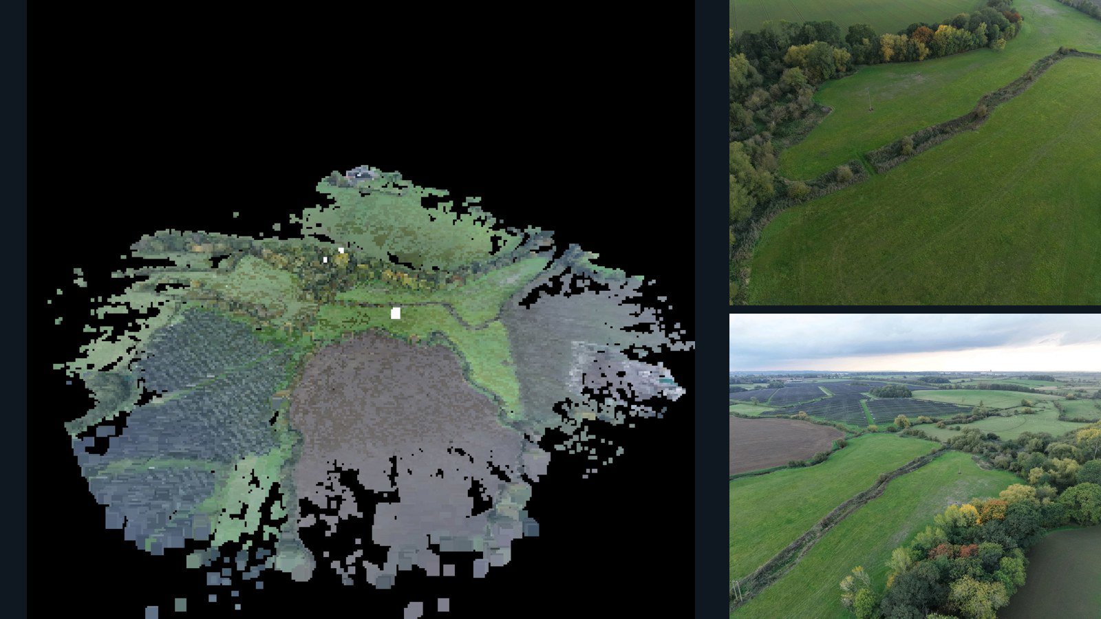
Leicestershire drone capture · AD-F3286469

101 original drone photos from Leicestershire, England, United Kingdom, paired with metadata, project bundles, camera data, 3d meshes, point clouds. Evaluate a sample and request a commercial license for AI training or spatial analysis.

3D model-focused

Photos Orthomosaics Point clouds 3D meshes
101 photos1.4 GB Selected-file sample

7 datasets

Scene-level inventories
United Kingdom / England

Leicestershire drone capture · AD-C44E6C86

178 original drone photos from Leicestershire, England, United Kingdom, paired with metadata, project bundles, camera data, point clouds, orthomosaics. Evaluate a sample and request a commercial license for AI training or spatial analysis.

Ortho-focused

Photos Orthomosaics Point clouds Camera data
178 photos2.7 GB Selected-file sample
United Kingdom / England

Leicestershire drone capture · AD-CB22C1B5

181 original drone photos from Leicestershire, England, United Kingdom, paired with metadata, project bundles, camera data, 3d meshes, point clouds. Evaluate a sample and request a commercial license for AI training or spatial analysis.

3D model-focused

Photos Orthomosaics Point clouds 3D meshes
181 photos3 GB Selected-file sample
United Kingdom / England

Leicestershire drone capture · AD-CA4F9457

8 original drone photos from Leicestershire, England, United Kingdom, paired with metadata, project bundles, camera data, 3d meshes, point clouds. Evaluate a sample and request a commercial license for AI training or spatial analysis.

3D model-focused

Photos Orthomosaics Point clouds 3D meshes
8 photos325.4 MB Selected-file sample
United Kingdom / England

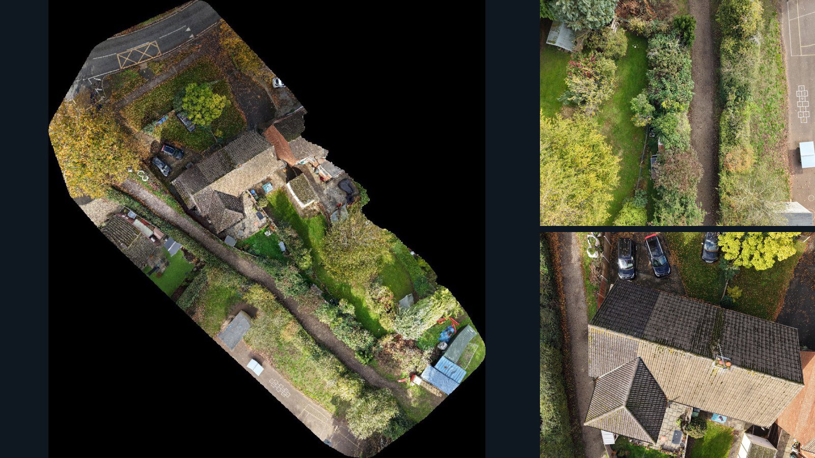
Leicestershire drone capture · AD-39574D69

152 original drone photos from Leicestershire, England, United Kingdom, paired with metadata, project bundles, camera data, 3d meshes, point clouds. Evaluate a sample and request a commercial license for AI training or spatial analysis.

3D model-focused

Photos Orthomosaics Point clouds 3D meshes
152 photos2.4 GB Selected-file sample
United Kingdom / England

Leicestershire drone capture · AD-65DE4061

97 original drone photos from Leicestershire, England, United Kingdom, paired with metadata, project bundles, camera data, point clouds, orthomosaics. Evaluate a sample and request a commercial license for AI training or spatial analysis.

Ortho-focused

Photos Orthomosaics Point clouds Camera data
97 photos1.3 GB Selected-file sample
United Kingdom / England

Leicestershire drone capture · AD-F3286469

101 original drone photos from Leicestershire, England, United Kingdom, paired with metadata, project bundles, camera data, 3d meshes, point clouds. Evaluate a sample and request a commercial license for AI training or spatial analysis.

3D model-focused

Photos Orthomosaics Point clouds 3D meshes
101 photos1.4 GB Selected-file sample
United Kingdom / England

Leicestershire drone capture · AD-1E5577A0

118 original drone photos from Leicestershire, England, United Kingdom, paired with metadata, project bundles, camera data, 3d meshes, point clouds. Evaluate a sample and request a commercial license for AI training or spatial analysis.

3D model-focused

Photos Orthomosaics Point clouds 3D meshes
118 photos1.9 GB Selected-file sample

Have a specific dataset in mind?

Share your geography, formats, intended use and timeline.

Request data ↗