BROWSE BY DATA TYPE

Orthomosaics datasets

Georeferenced aerial mosaics for overhead computer vision and spatial analysis. Browse available GeoTIFF and cloud-optimized raster products.

337 datasets

Scene-level inventories
Belgium / Vlaanderen

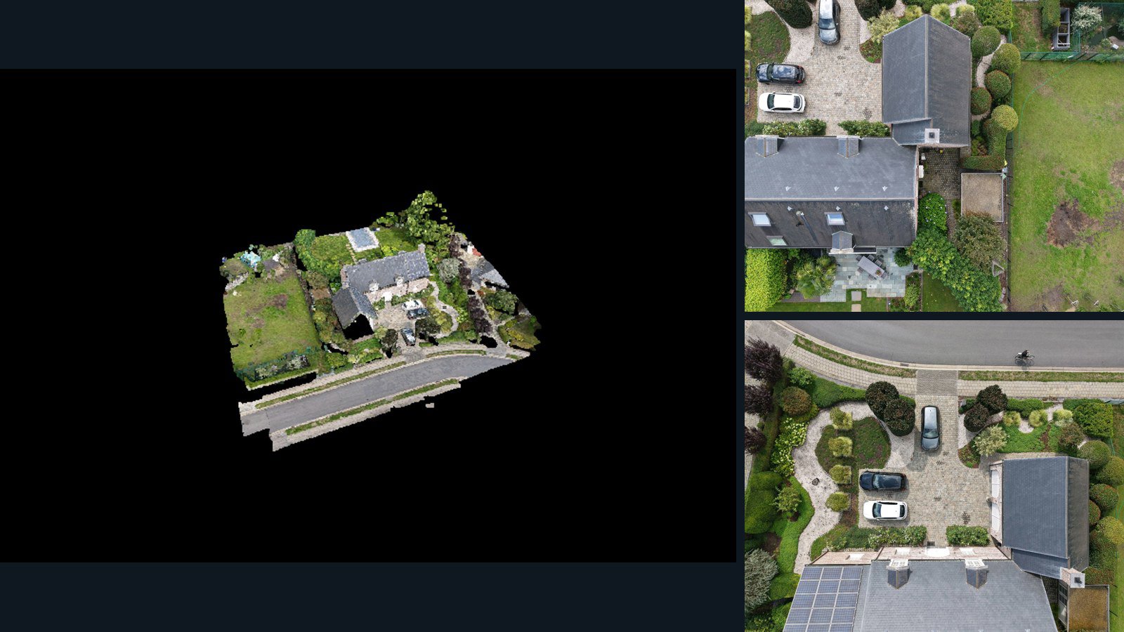
Dessel drone capture · AD-48BDCC06

A real-world drone capture with original imagery and the retained spatial products listed below. Review the available files and accuracy information before licensing.

3D model-focused

Photos Orthomosaics Point clouds 3D meshes
38 photos145.7 MB Selected-file sample

Have a specific dataset in mind?

Share your geography, formats, intended use and timeline.

Request data ↗