BROWSE BY ENVIRONMENT

Terrain & landscapes drone datasets

Browse terrain, landforms and open landscapes with retained photogrammetric outputs. Elevation and spatial products are processing-derived; coordinate systems, resolution and accuracy information vary by scene.

68 datasets

Scene-level inventories
United States / North Carolina

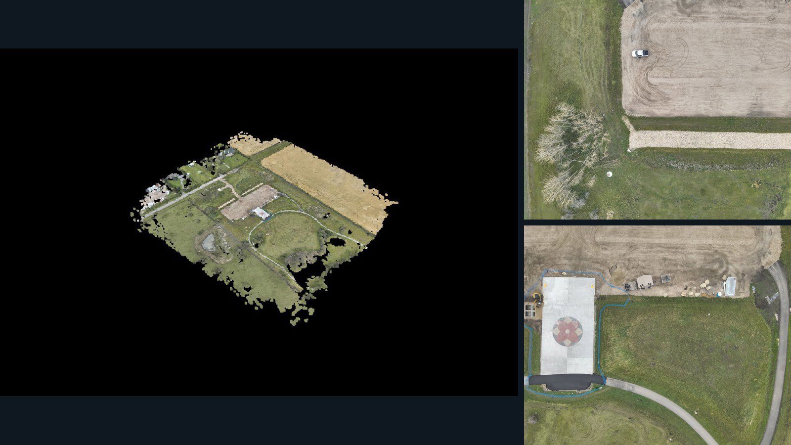
Cary drone capture · AD-A6A9AC7B

81 original drone photos from Cary, North Carolina, United States, paired with metadata, project bundles, camera data, 3d meshes, point clouds. Evaluate a sample and request a commercial license for AI training or spatial analysis.

3D model-focused

Photos Orthomosaics Point clouds 3D meshes
81 photos1.6 GB Selected-file sample
Denmark / region

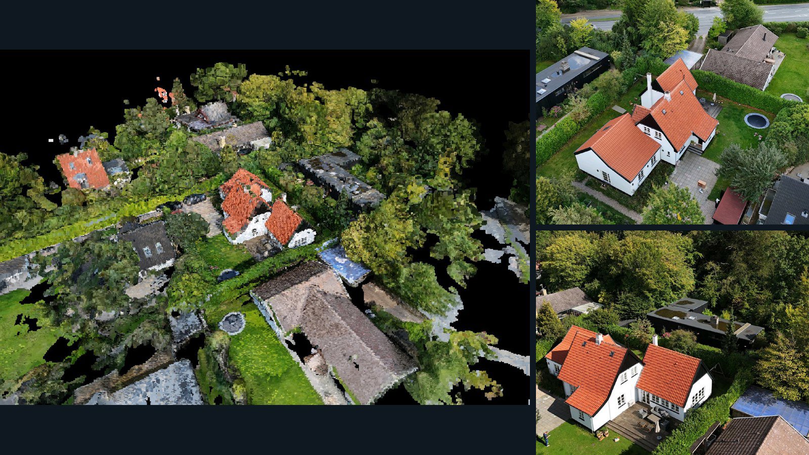
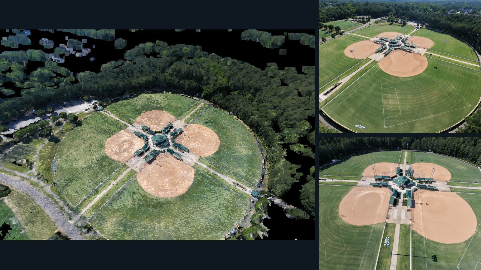
Nærum drone capture · AD-0FE158B9

103 original drone photos from Nærum, region, Denmark, paired with metadata, project bundles, camera data, 3d meshes, point clouds. Evaluate a sample and request a commercial license for AI training or spatial analysis.

3D model-focused

Photos Orthomosaics Point clouds 3D meshes
103 photos1.3 GB Selected-file sample
India / Haryana

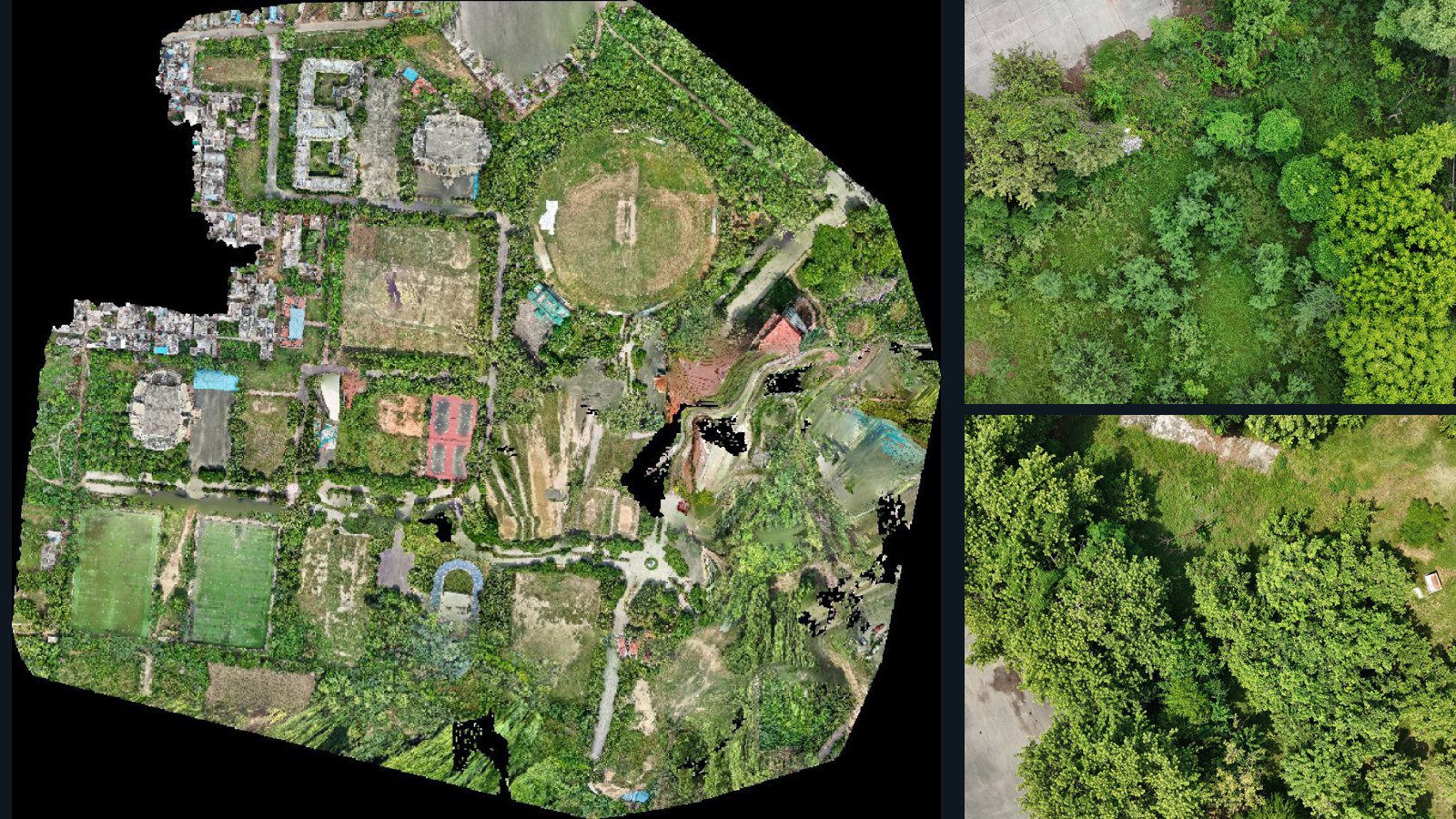
Rohtak drone capture · AD-8028C4C4

1,282 original drone photos from Rohtak, Haryana, India, paired with metadata, project bundles, camera data, point clouds, orthomosaics. Evaluate a sample and request a commercial license for AI training or spatial analysis.

Ortho-focused

Photos Orthomosaics Point clouds Camera data
1,282 photos19.7 GB Selected-file sample
United States / Nevada

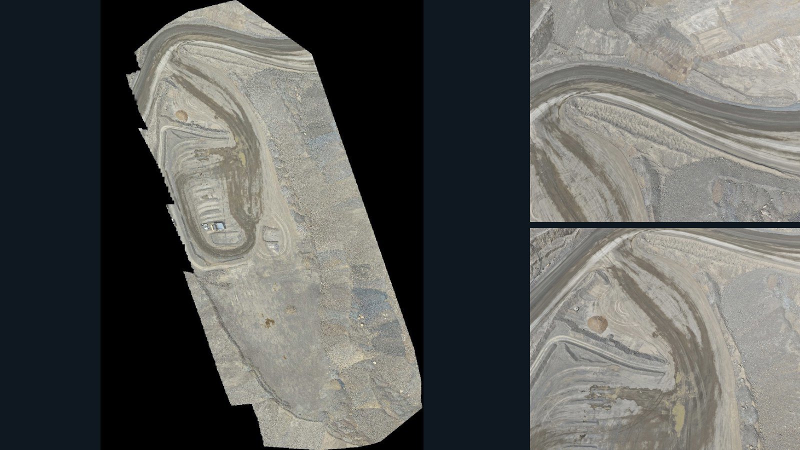
Valmy drone capture · AD-5F8CE05F

29 original drone photos from Valmy, Nevada, United States, paired with metadata, project bundles, camera data, point clouds, orthomosaics. Evaluate a sample and request a commercial license for AI training or spatial analysis.

Ortho-focused

Photos Orthomosaics Point clouds Camera data
29 photos3 GB Selected-file sample
Norfolk Island / region

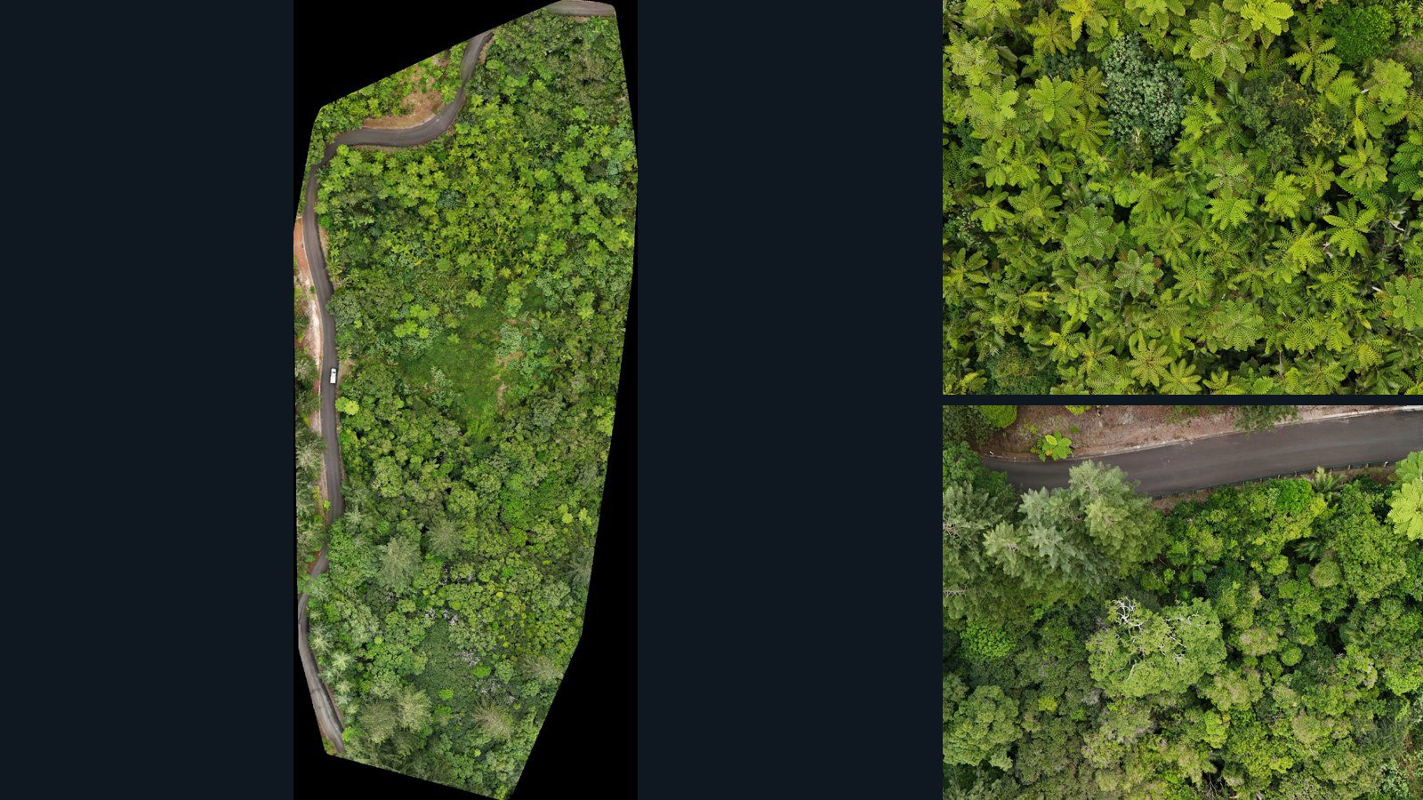
Burnt Pine drone capture · AD-1E97EABA

193 original drone photos from Burnt Pine, region, Norfolk Island, paired with metadata, project bundles, camera data, point clouds, orthomosaics. Evaluate a sample and request a commercial license for AI training or spatial analysis.

Ortho-focused

Photos Orthomosaics Point clouds Camera data
193 photos6.9 GB Selected-file sample
Poland / Warmian-Masurian Voivodeship

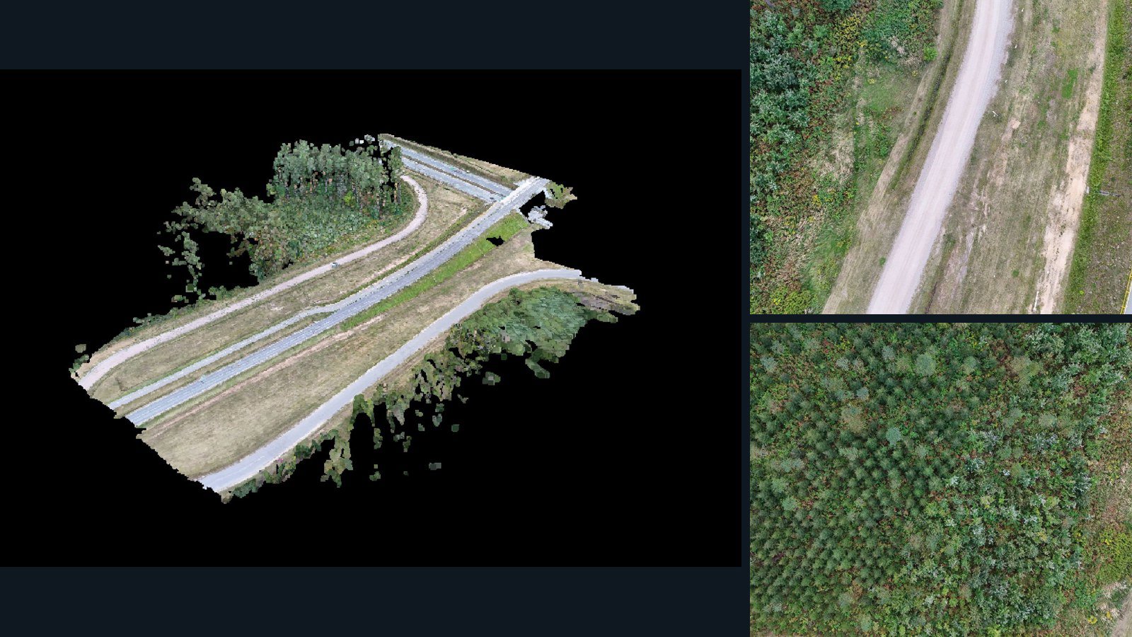
Ełk County drone capture · AD-AD07FEAD

79 original drone photos from Ełk County, Warmian-Masurian Voivodeship, Poland, paired with metadata, project bundles, camera data, 3d meshes, point clouds. Evaluate a sample and request a commercial license for AI training or spatial analysis.

3D model-focused

Photos Orthomosaics Point clouds 3D meshes
79 photos2.7 GB Selected-file sample
Canada / Alberta

Airdrie drone capture · AD-712543F7

100 original drone photos from Airdrie, Alberta, Canada, paired with metadata, project bundles, camera data, 3d meshes, point clouds. Evaluate a sample and request a commercial license for AI training or spatial analysis.

3D model-focused

Photos Orthomosaics Point clouds 3D meshes
100 photos1.3 GB Selected-file sample
Poland / Województwo kujawsko-pomorskie

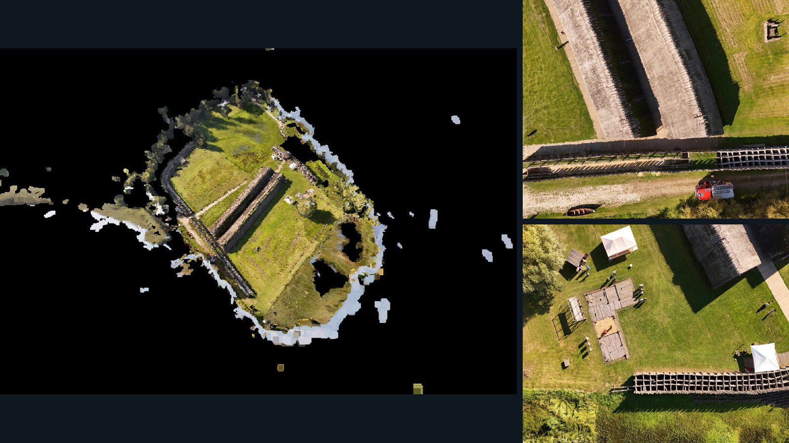
Biskupin drone capture · AD-838FBA70

100 original drone photos from Biskupin, Województwo kujawsko-pomorskie, Poland, paired with metadata, project bundles, camera data, 3d meshes, point clouds. Evaluate a sample and request a commercial license for AI training or spatial analysis.

3D model-focused

Photos Orthomosaics Point clouds 3D meshes
100 photos1.3 GB Selected-file sample

Have a specific dataset in mind?

Share your geography, formats, intended use and timeline.

Request data ↗