BROWSE BY ENVIRONMENT

Industrial sites drone datasets

Find captures of industrial environments, facilities and their surrounding land. Public previews and location detail are reviewed separately from private licensed media. Match the observations and permitted use to your project.

28 datasets

Scene-level inventories
Belgium / Vlaanderen

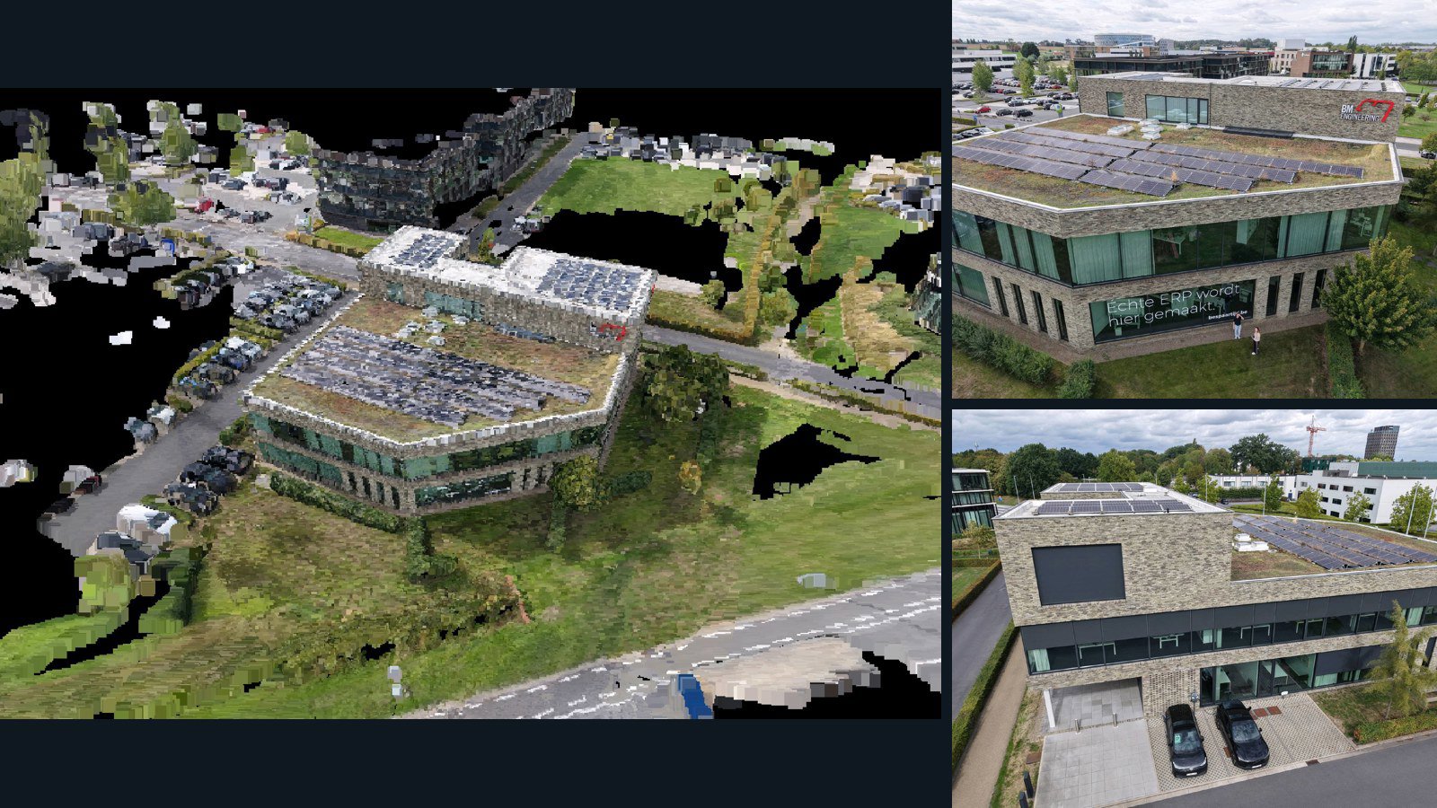
Kortrijk drone capture · AD-061249E5

73 original drone photos from Kortrijk, Vlaanderen, Belgium, paired with metadata, project bundles, camera data, 3d meshes, point clouds. Evaluate a sample and request a commercial license for AI training or spatial analysis.

3D model-focused

Photos Orthomosaics Point clouds 3D meshes
73 photos1.1 GB Selected-file sample
United States / Texas

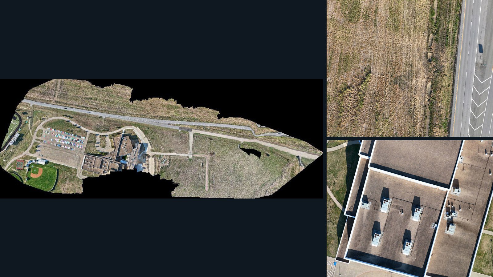
Mabank drone capture · AD-0C9B1DA2

180 original drone photos from Mabank, Texas, United States, paired with metadata, project bundles, camera data, point clouds, orthomosaics. Evaluate a sample and request a commercial license for AI training or spatial analysis.

Ortho-focused

Photos Orthomosaics Point clouds Camera data
180 photos3.7 GB Selected-file sample
United States / Hawaii

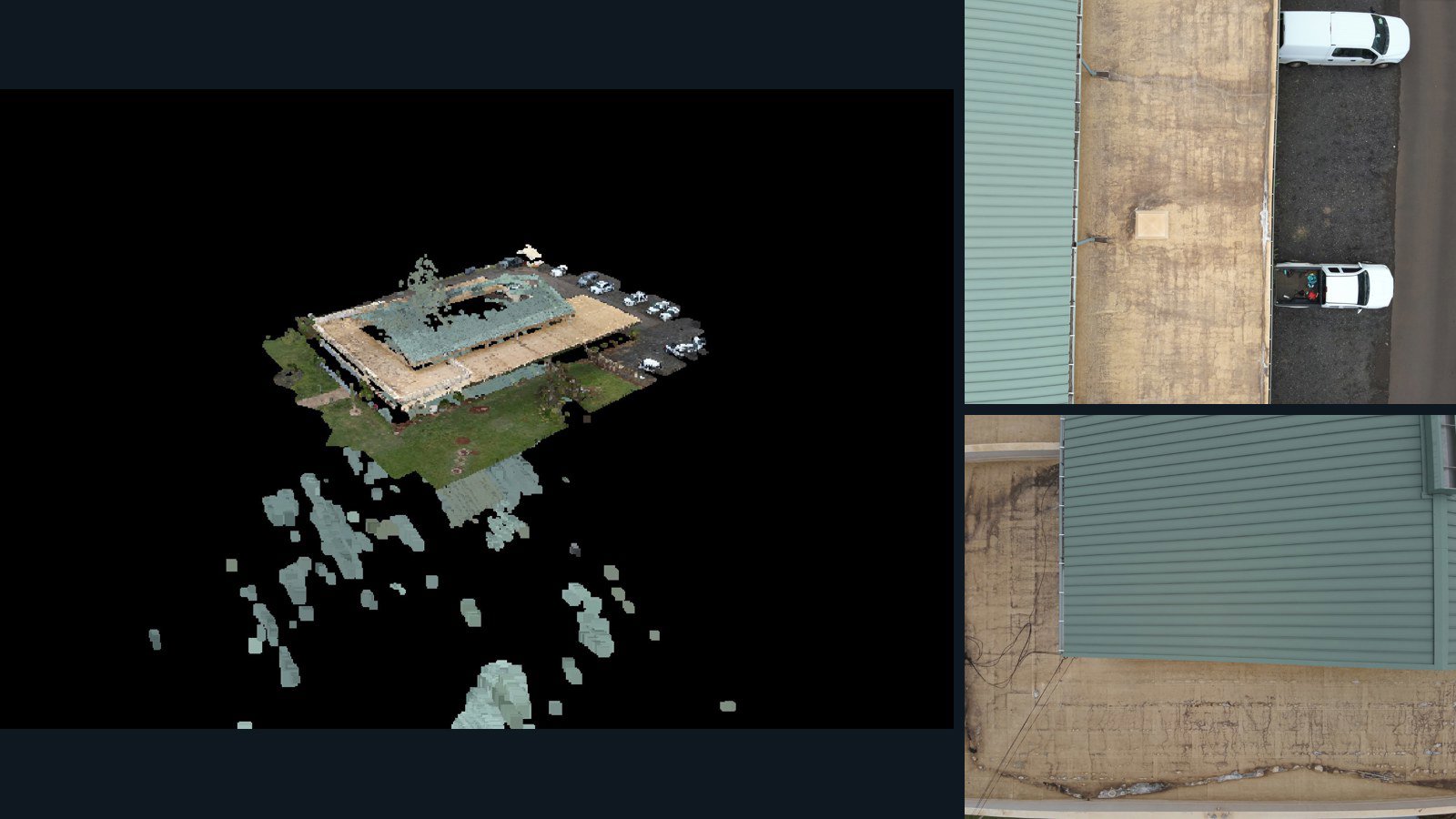
Kapaʻa drone capture · AD-A0EB0004

100 original drone photos from Kapaʻa, Hawaii, United States, paired with metadata, project bundles, camera data, 3d meshes, point clouds. Evaluate a sample and request a commercial license for AI training or spatial analysis.

3D model-focused

Photos Orthomosaics Point clouds 3D meshes
100 photos810.7 MB Selected-file sample
United Kingdom / England

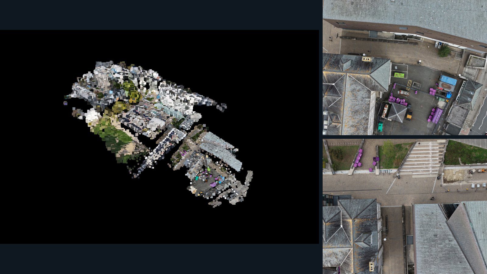
Plymouth drone capture · AD-659DEE08

66 original drone photos from Plymouth, England, United Kingdom, paired with metadata, project bundles, camera data, point clouds, orthomosaics. Evaluate a sample and request a commercial license for AI training or spatial analysis.

3D model-focused

Photos Orthomosaics Point clouds Camera data
66 photos1.4 GB Selected-file sample

Have a specific dataset in mind?

Share your geography, formats, intended use and timeline.

Request data ↗