BROWSE BY ENVIRONMENT

Built environment drone datasets

Explore drone captures of buildings, developed land and the spaces between them. Inspect source views and available reconstructed products for computer vision, scene understanding and spatial analysis. Coverage and geometry quality vary by capture.

126 datasets

Scene-level inventories
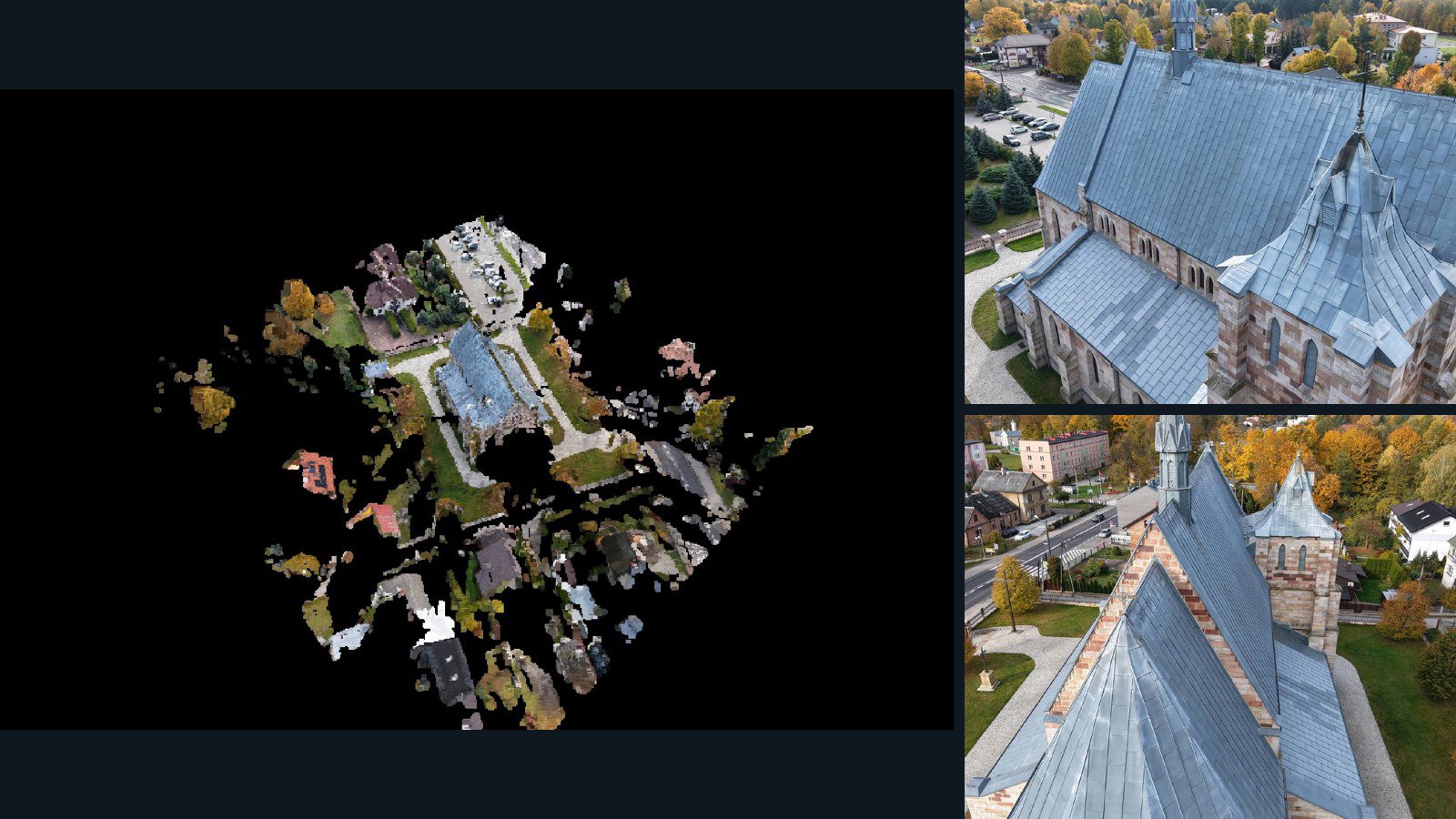
Poland / Województwo świętokrzyskie

Bliżyn drone capture · AD-ECEDA98B

47 original drone photos from Bliżyn, Województwo świętokrzyskie, Poland, paired with metadata, project bundles, camera data, 3d meshes, point clouds. Evaluate a sample and request a commercial license for AI training or spatial analysis.

3D model-focused

Photos Orthomosaics Point clouds 3D meshes
47 photos618.6 MB Selected-file sample
Mexico / Guanajuato

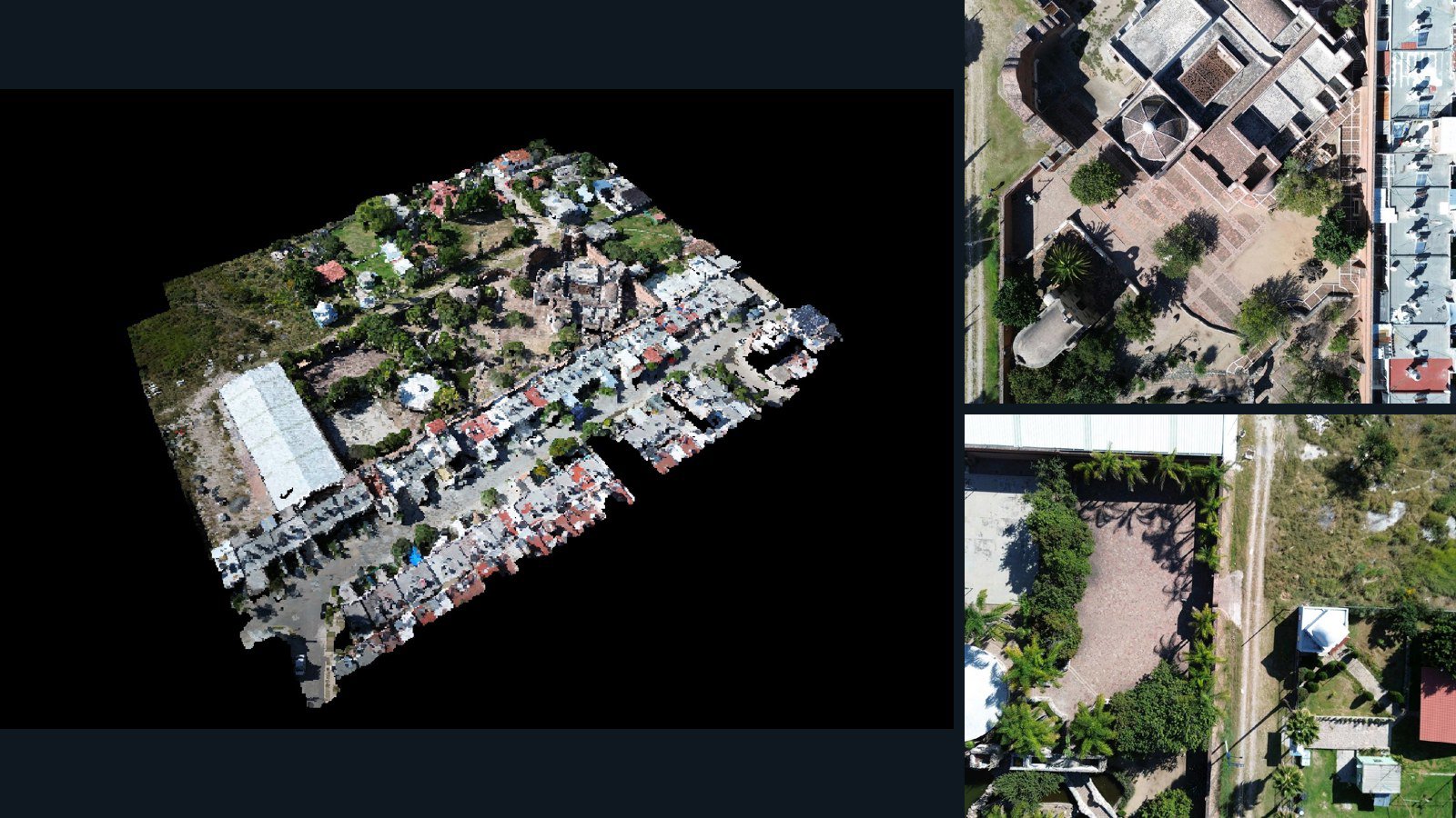
León de los Aldama drone capture · AD-758FC547

98 original drone photos from León de los Aldama, Guanajuato, Mexico, paired with metadata, project bundles, camera data, 3d meshes, point clouds. Evaluate a sample and request a commercial license for AI training or spatial analysis.

3D model-focused

Photos Orthomosaics Point clouds 3D meshes
98 photos835.4 MB Selected-file sample
Italy / Veneto

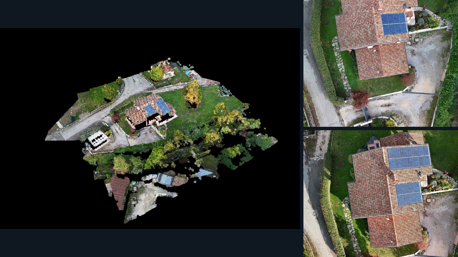
Campea drone capture · AD-6A58A858

57 original drone photos from Campea, Veneto, Italy, paired with metadata, project bundles, camera data, 3d meshes, point clouds. Evaluate a sample and request a commercial license for AI training or spatial analysis.

3D model-focused

Photos Orthomosaics Point clouds 3D meshes
57 photos737.4 MB Selected-file sample
Lithuania / Telšių apskritis

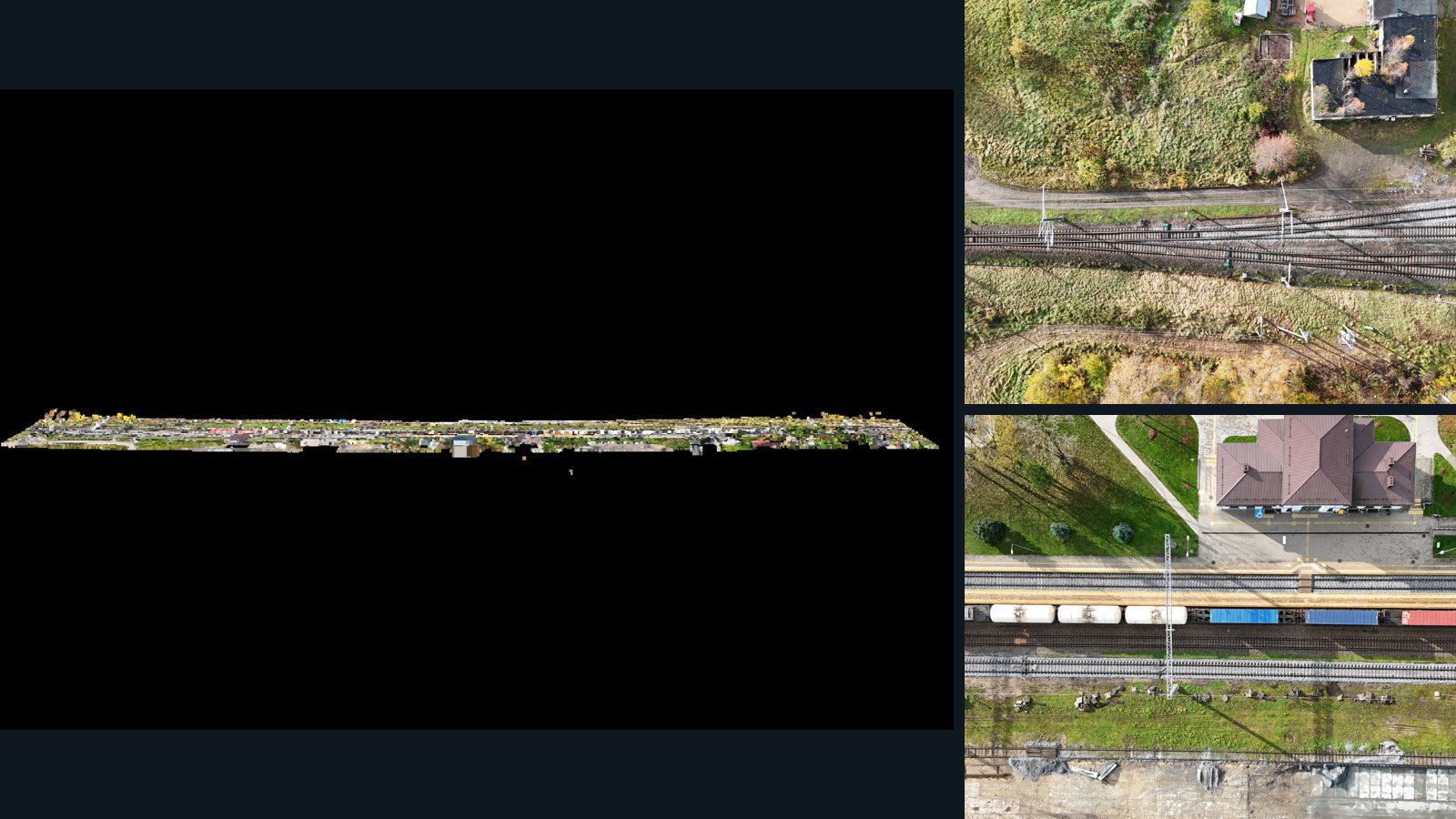
Plungė drone capture · AD-BC7C5C9B

22 original drone photos from Plungė, Telšių apskritis, Lithuania, paired with metadata, project bundles, camera data, 3d meshes, point clouds. Evaluate a sample and request a commercial license for AI training or spatial analysis.

3D model-focused

Photos Orthomosaics Point clouds 3D meshes
22 photos788.1 MB Selected-file sample
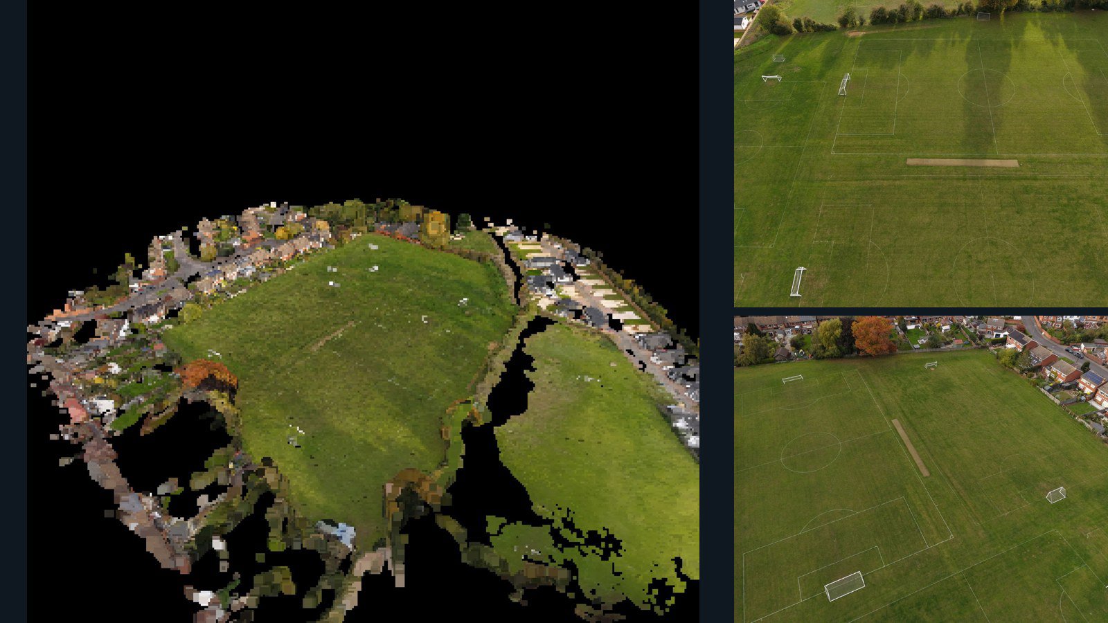
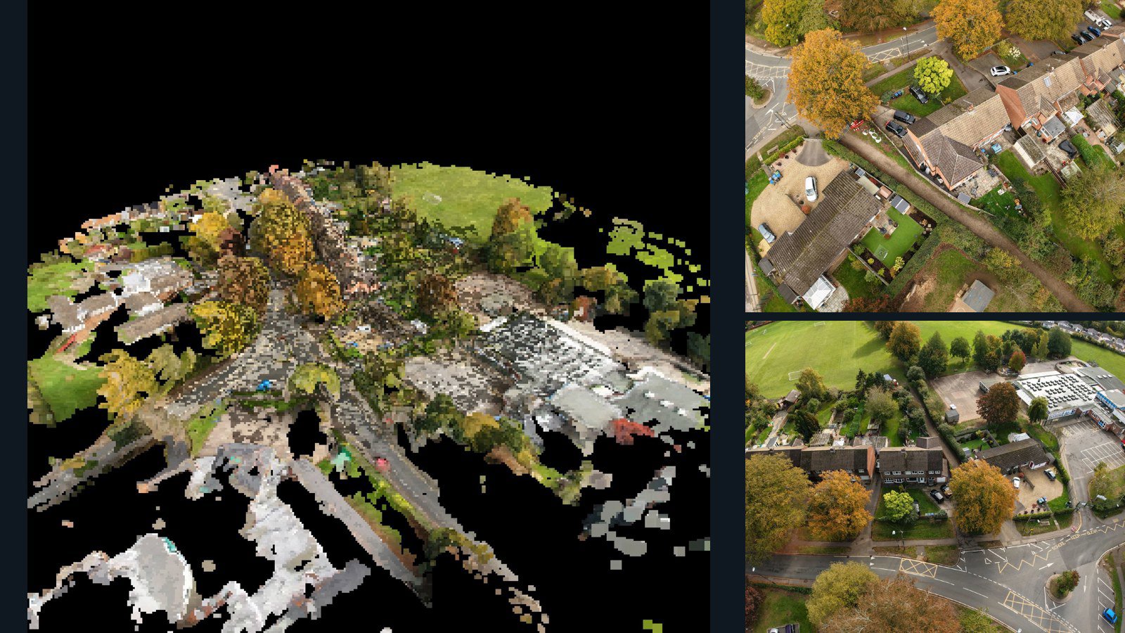
United Kingdom / England

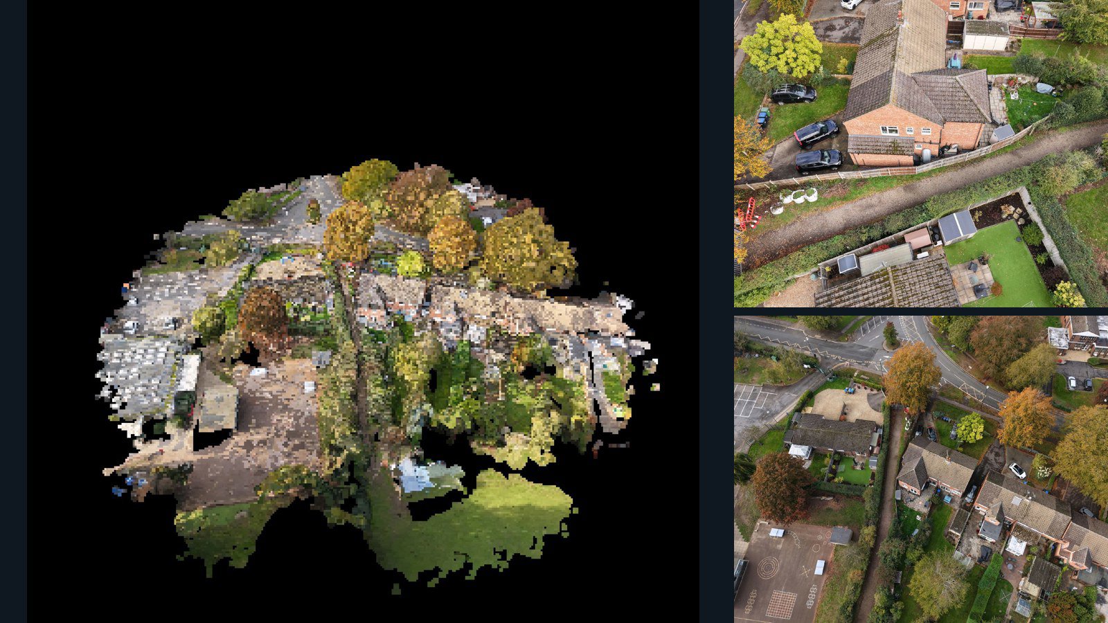
Leicestershire drone capture · AD-CB22C1B5

181 original drone photos from Leicestershire, England, United Kingdom, paired with metadata, project bundles, camera data, 3d meshes, point clouds. Evaluate a sample and request a commercial license for AI training or spatial analysis.

3D model-focused

Photos Orthomosaics Point clouds 3D meshes
181 photos3 GB Selected-file sample
Togo / Maritime Region

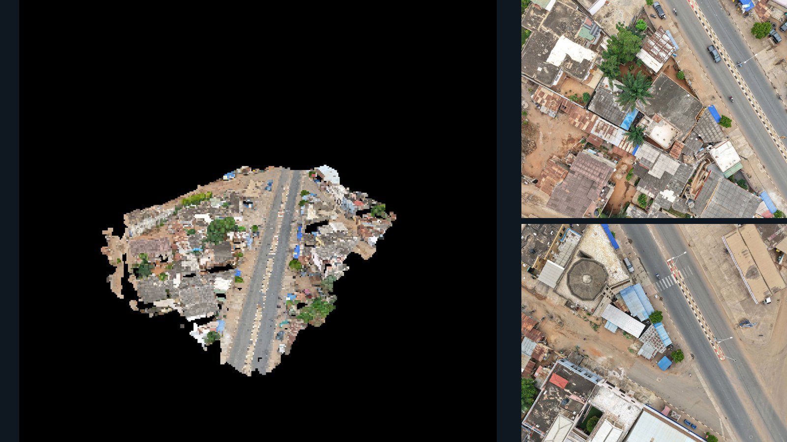
Lomé drone capture · AD-637C788E

100 original drone photos from Lomé, Maritime Region, Togo, paired with metadata, project bundles, camera data, 3d meshes, point clouds. Evaluate a sample and request a commercial license for AI training or spatial analysis.

3D model-focused

Photos Orthomosaics Point clouds 3D meshes
100 photos2.5 GB Selected-file sample
United States / New York

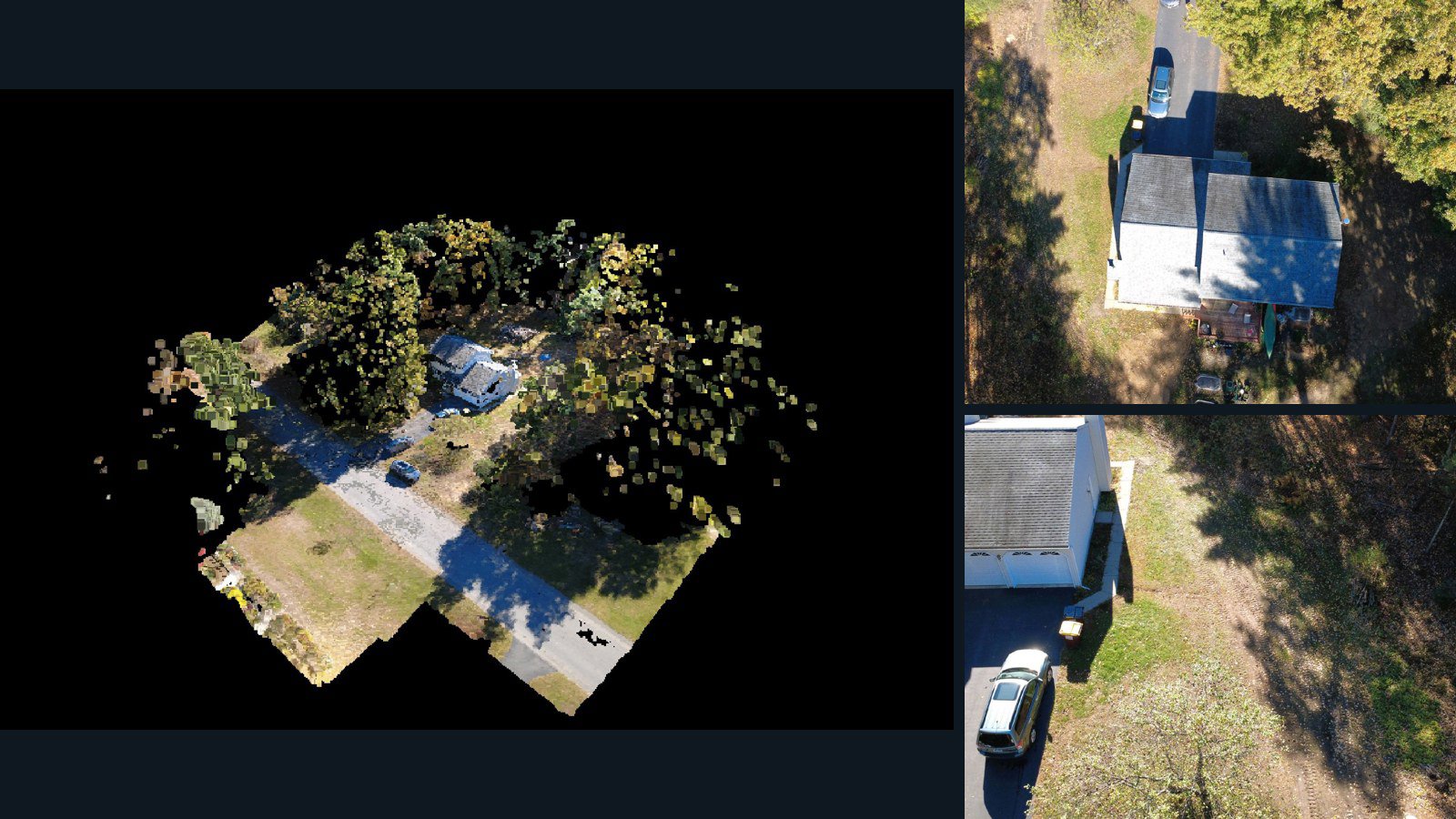
Saratoga Springs drone capture · AD-A27B1CDA

75 original drone photos from Saratoga Springs, New York, United States, paired with metadata, project bundles, camera data, 3d meshes, point clouds. Evaluate a sample and request a commercial license for AI training or spatial analysis.

3D model-focused

Photos Orthomosaics Point clouds 3D meshes
75 photos806.7 MB Selected-file sample
Bangladesh / Chittagong Division

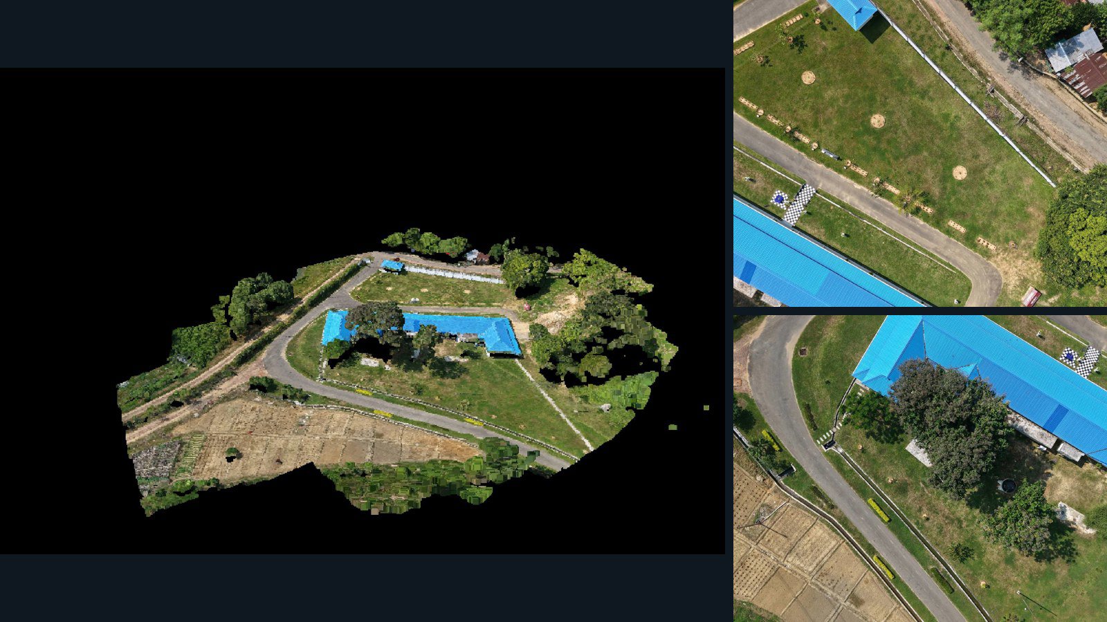
Dighinala drone capture · AD-1BBC1379

41 original drone photos from Dighinala, Chittagong Division, Bangladesh, paired with metadata, project bundles, camera data, 3d meshes, point clouds. Evaluate a sample and request a commercial license for AI training or spatial analysis.

3D model-focused

Photos Orthomosaics Point clouds 3D meshes
41 photos1.1 GB Selected-file sample
Poland / Województwo śląskie

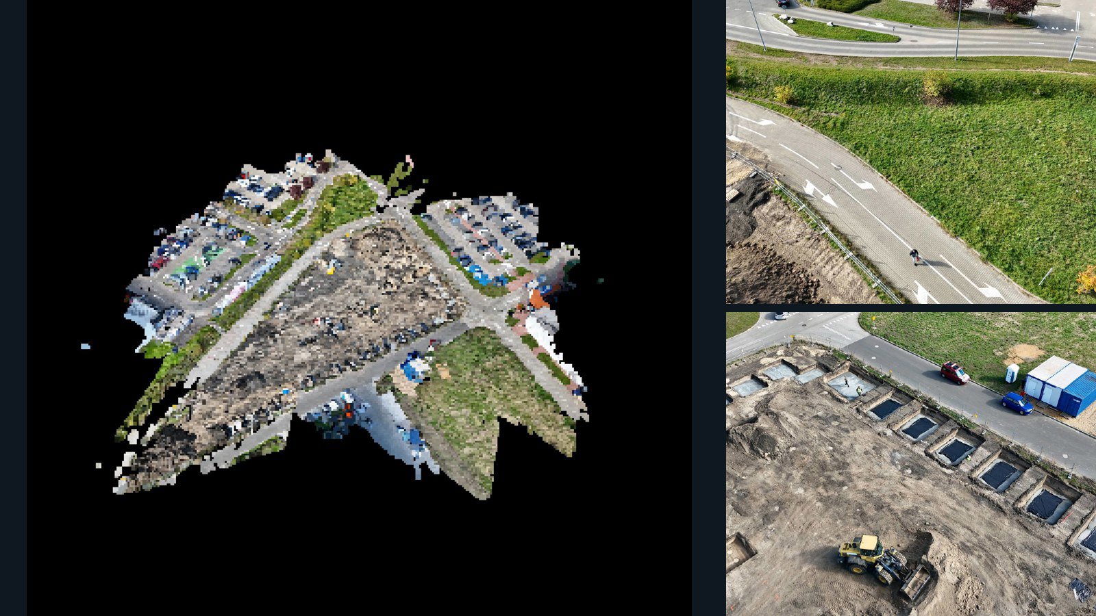
Gliwice drone capture · AD-C98C7D11

99 original drone photos from Gliwice, Województwo śląskie, Poland, paired with metadata, project bundles, camera data, 3d meshes, point clouds. Evaluate a sample and request a commercial license for AI training or spatial analysis.

3D model-focused

Photos Orthomosaics Point clouds 3D meshes
99 photos1.3 GB Selected-file sample
United Kingdom / England

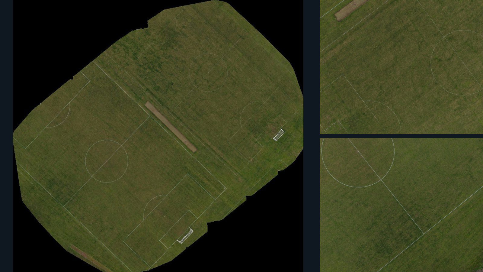
Leicestershire drone capture · AD-65DE4061

97 original drone photos from Leicestershire, England, United Kingdom, paired with metadata, project bundles, camera data, point clouds, orthomosaics. Evaluate a sample and request a commercial license for AI training or spatial analysis.

Ortho-focused

Photos Orthomosaics Point clouds Camera data
97 photos1.3 GB Selected-file sample
United Kingdom / England

Leicestershire drone capture · AD-F3286469

101 original drone photos from Leicestershire, England, United Kingdom, paired with metadata, project bundles, camera data, 3d meshes, point clouds. Evaluate a sample and request a commercial license for AI training or spatial analysis.

3D model-focused

Photos Orthomosaics Point clouds 3D meshes
101 photos1.4 GB Selected-file sample
United Kingdom / England

Leicestershire drone capture · AD-1E5577A0

118 original drone photos from Leicestershire, England, United Kingdom, paired with metadata, project bundles, camera data, 3d meshes, point clouds. Evaluate a sample and request a commercial license for AI training or spatial analysis.

3D model-focused

Photos Orthomosaics Point clouds 3D meshes
118 photos1.9 GB Selected-file sample

Have a specific dataset in mind?

Share your geography, formats, intended use and timeline.

Request data ↗