BROWSE BY ENVIRONMENT

Agriculture drone datasets

Explore captures of cultivated land, fields and agricultural surroundings. Inspect imagery and available surface products for your intended task. No crop-health labels or multispectral bands are implied unless explicitly listed.

27 datasets

Scene-level inventories
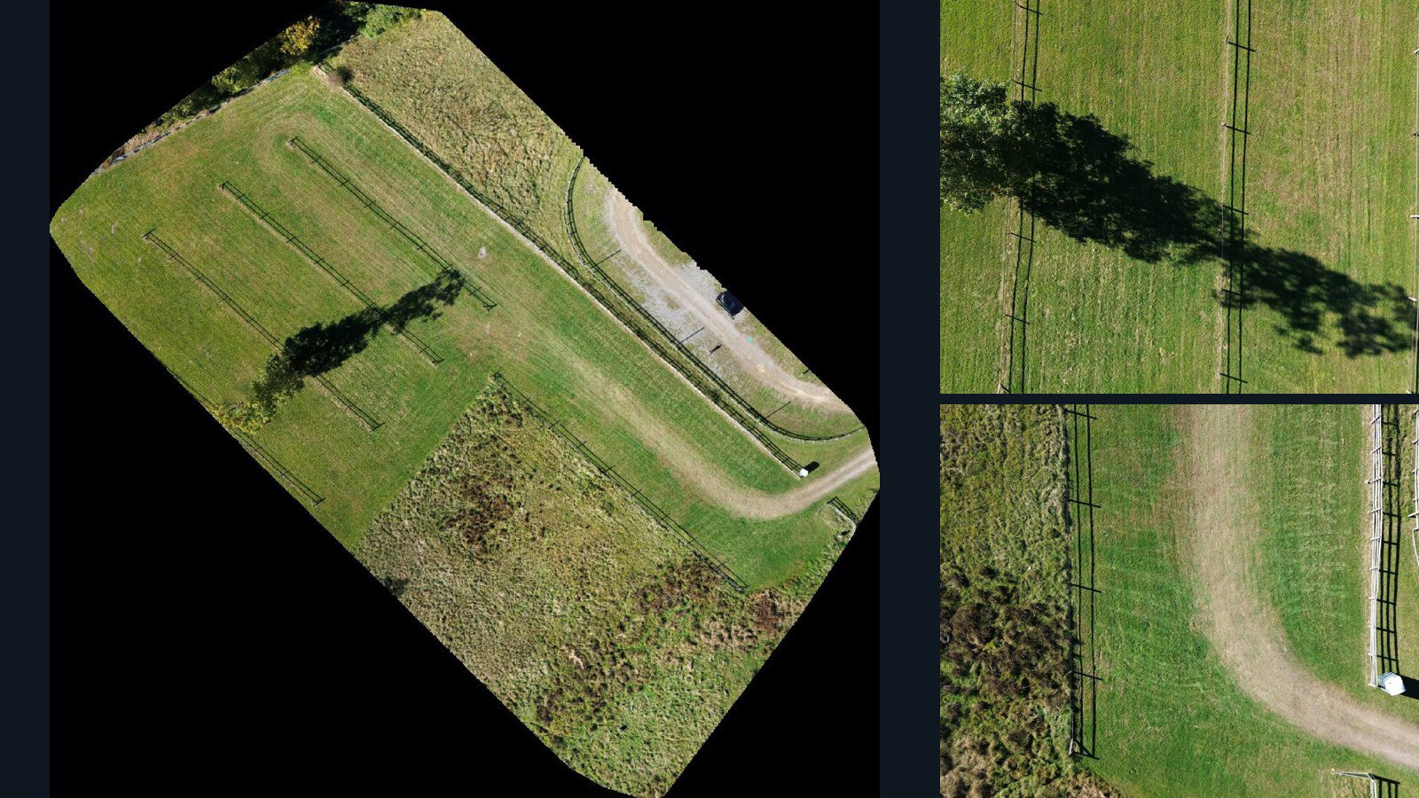
United States / West Virginia

Daniels drone capture · AD-34E2E61F

399 original drone photos from Daniels, West Virginia, United States, paired with metadata, project bundles, camera data, point clouds, orthomosaics. Evaluate a sample and request a commercial license for AI training or spatial analysis.

Ortho-focused

Photos Orthomosaics Point clouds Camera data
399 photos2 GB Selected-file sample
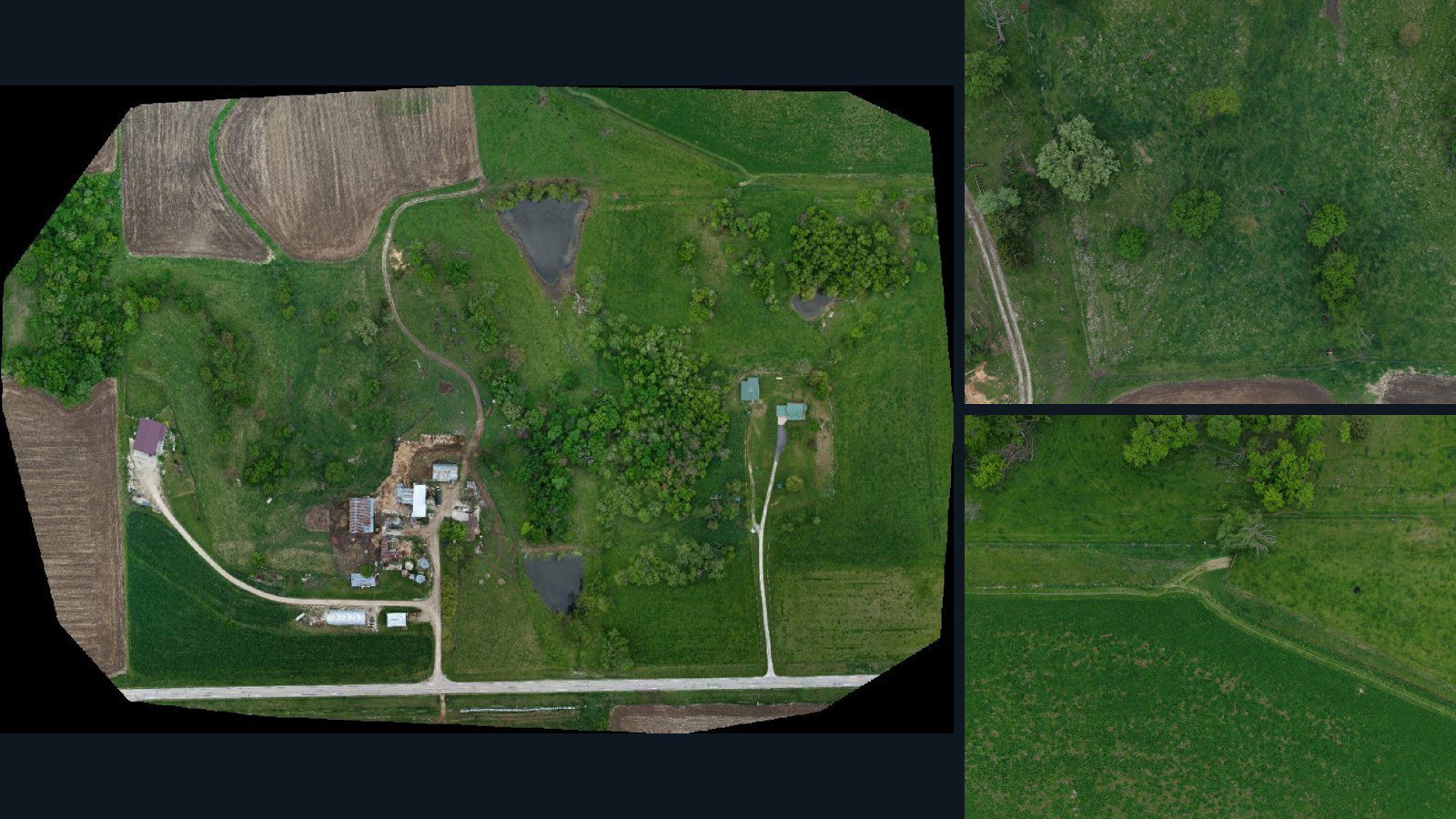
United States / Iowa

Decorah drone capture · AD-A90301D9

102 original drone photos from Decorah, Iowa, United States, paired with metadata, project bundles, camera data, point clouds, orthomosaics. Evaluate a sample and request a commercial license for AI training or spatial analysis.

Ortho-focused

Photos Orthomosaics Point clouds Camera data
102 photos2.1 GB Selected-file sample
United States / West Virginia

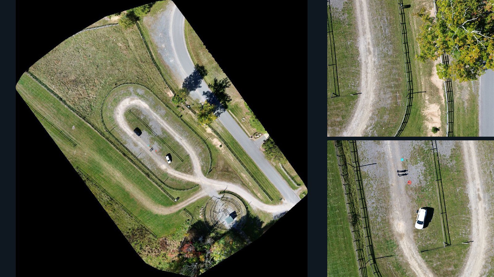
Glade Springs drone capture · AD-D710F572

176 original drone photos from Glade Springs, West Virginia, United States, paired with metadata, project bundles, camera data, point clouds, orthomosaics. Evaluate a sample and request a commercial license for AI training or spatial analysis.

Ortho-focused

Photos Orthomosaics Point clouds Camera data
176 photos1.1 GB Selected-file sample
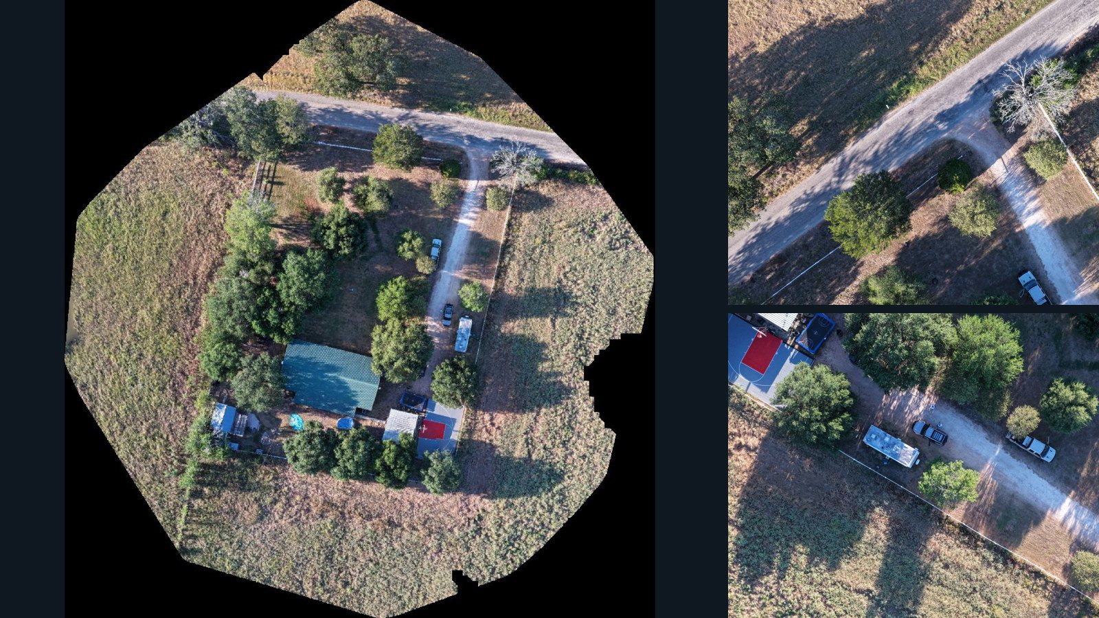
United States / Texas

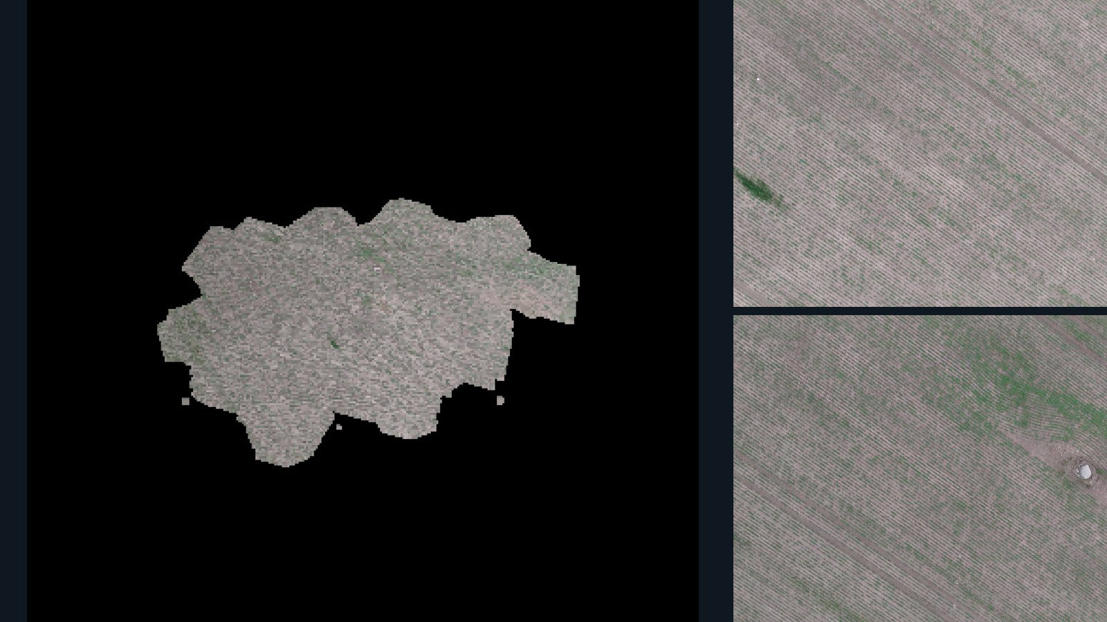
Giddings drone capture · AD-38445F3B

36 original drone photos from Giddings, Texas, United States, paired with metadata, project bundles, camera data, point clouds, orthomosaics. Evaluate a sample and request a commercial license for AI training or spatial analysis.

Ortho-focused

Photos Orthomosaics Point clouds Camera data
36 photos2.7 GB Selected-file sample
Norfolk Island / region

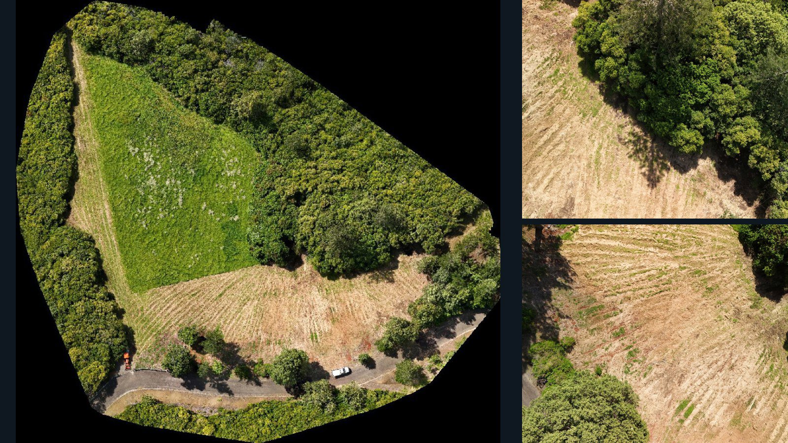
region drone capture · AD-D32C8F29

328 original drone photos from region, Norfolk Island, paired with metadata, project bundles, camera data, point clouds, orthomosaics. Evaluate a sample and request a commercial license for AI training or spatial analysis.

Ortho-focused

Photos Orthomosaics Point clouds Camera data
328 photos11.8 GB Selected-file sample
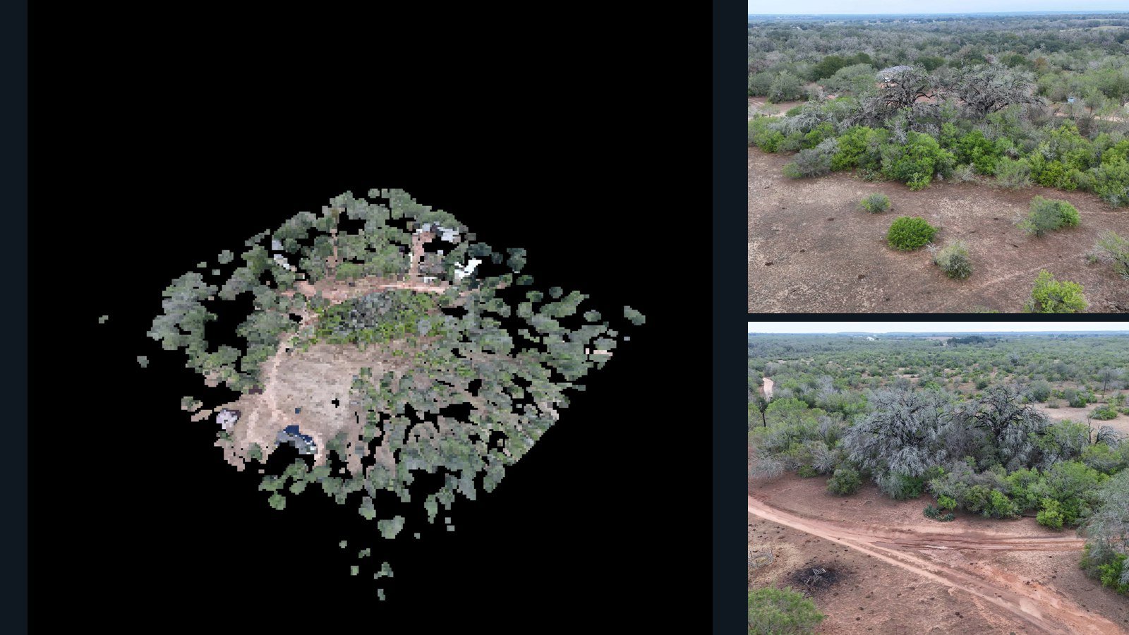
United States / Texas

Stockdale drone capture · AD-2A830F4B

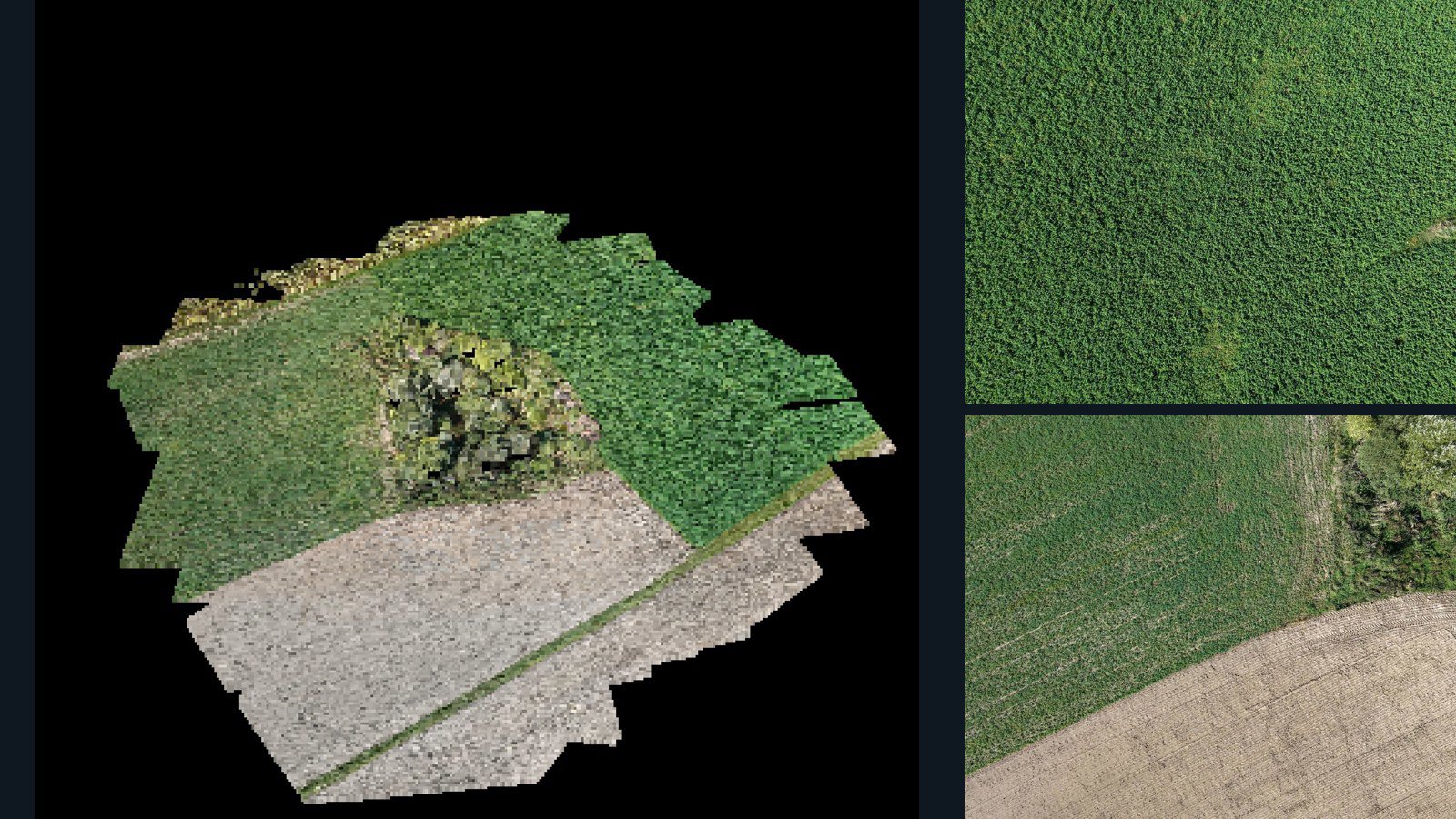
48 original drone photos from Stockdale, Texas, United States, paired with metadata, project bundles, camera data, 3d meshes, point clouds. Evaluate a sample and request a commercial license for AI training or spatial analysis.

3D model-focused

Photos Orthomosaics Point clouds 3D meshes
48 photos1.5 GB Selected-file sample
Czechia / Central Bohemian Region

Ratměřice drone capture · AD-0977B6E6

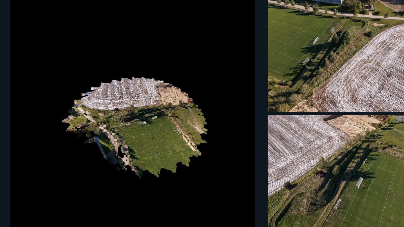
30 original drone photos from Ratměřice, Central Bohemian Region, Czechia, paired with metadata, project bundles, camera data, 3d meshes, point clouds. Evaluate a sample and request a commercial license for AI training or spatial analysis.

3D model-focused

Photos Orthomosaics Point clouds 3D meshes
30 photos542.6 MB Selected-file sample
Philippines / Calabarzon

City of Tayabas drone capture · AD-5FFD294C

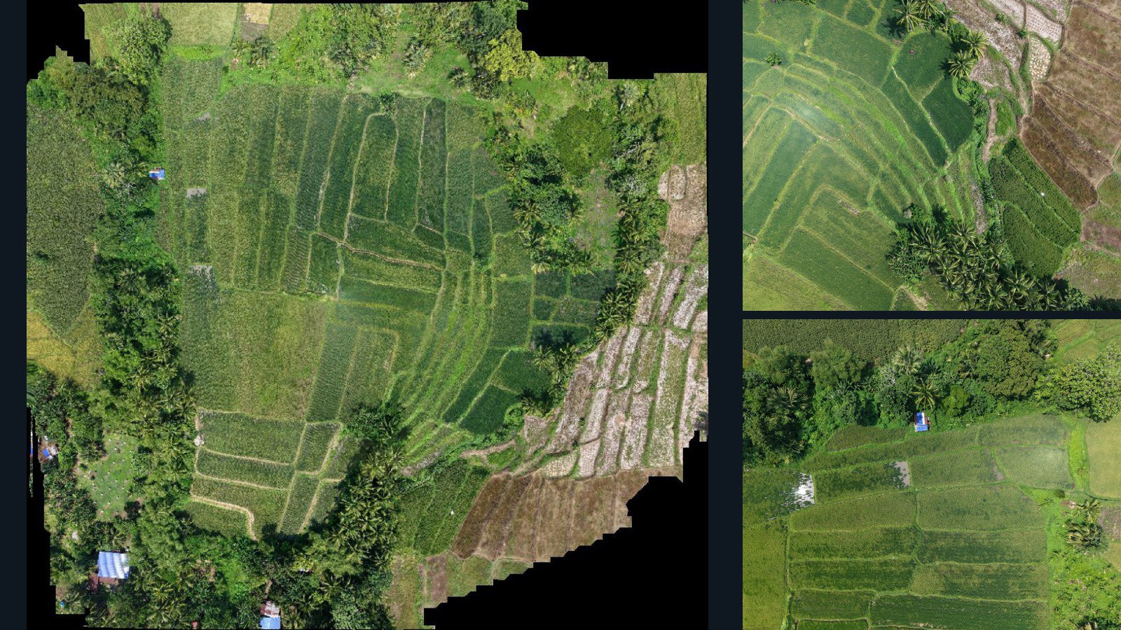
16 original drone photos from City of Tayabas, Calabarzon, Philippines, paired with metadata, project bundles, camera data, point clouds, orthomosaics. Evaluate a sample and request a commercial license for AI training or spatial analysis.

Ortho-focused

Photos Orthomosaics Point clouds Camera data
16 photos255.2 MB Selected-file sample
United States / Maine

Hallowell drone capture · AD-CCF66D3C

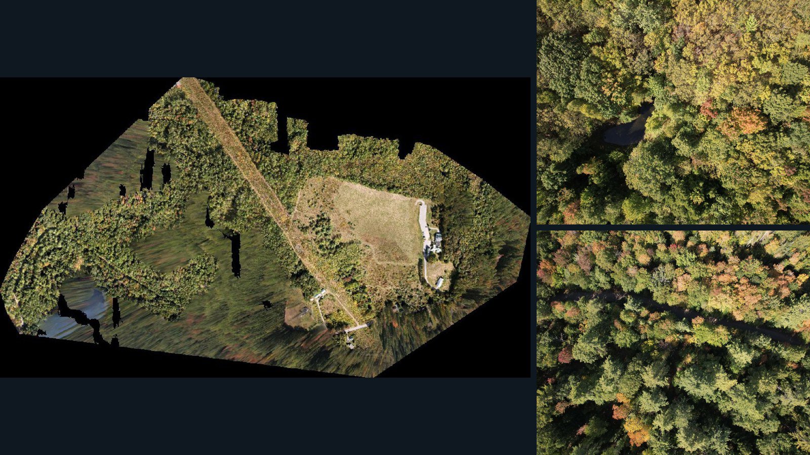
588 original drone photos from Hallowell, Maine, United States, paired with metadata, project bundles, camera data, point clouds, orthomosaics. Evaluate a sample and request a commercial license for AI training or spatial analysis.

Ortho-focused

Photos Orthomosaics Point clouds Camera data
588 photos16.4 GB Selected-file sample
Poland / Województwo wielkopolskie

Gębice drone capture · AD-DCB2893C

64 original drone photos from Gębice, Województwo wielkopolskie, Poland, paired with metadata, project bundles, camera data, 3d meshes, point clouds. Evaluate a sample and request a commercial license for AI training or spatial analysis.

3D model-focused

Photos Orthomosaics Point clouds 3D meshes
64 photos1.3 GB Selected-file sample
Poland / Greater Poland Voivodeship

Paliszewo drone capture · AD-DF6137C2

100 original drone photos from Paliszewo, Greater Poland Voivodeship, Poland, paired with metadata, project bundles, camera data, 3d meshes, point clouds. Evaluate a sample and request a commercial license for AI training or spatial analysis.

3D model-focused

Photos Orthomosaics Point clouds 3D meshes
100 photos1.3 GB Selected-file sample
Malaysia / Perak

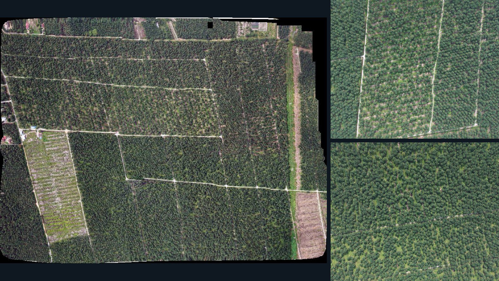
Teluk Intan drone capture · AD-355E860D

25 original drone photos from Teluk Intan, Perak, Malaysia, paired with metadata, project bundles, camera data, point clouds, orthomosaics. Evaluate a sample and request a commercial license for AI training or spatial analysis.

Ortho-focused

Photos Orthomosaics Point clouds Camera data
25 photos975.8 MB Selected-file sample

Have a specific dataset in mind?

Share your geography, formats, intended use and timeline.

Request data ↗